Lake Dres


Edited by:
Ivano Ruffoni
Updated at: 04/05/2025
Access
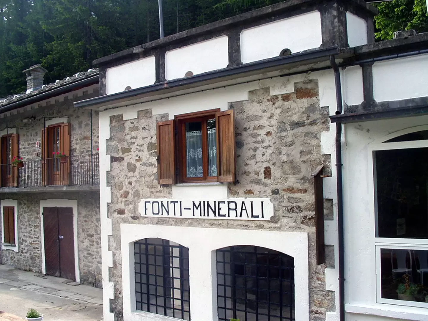
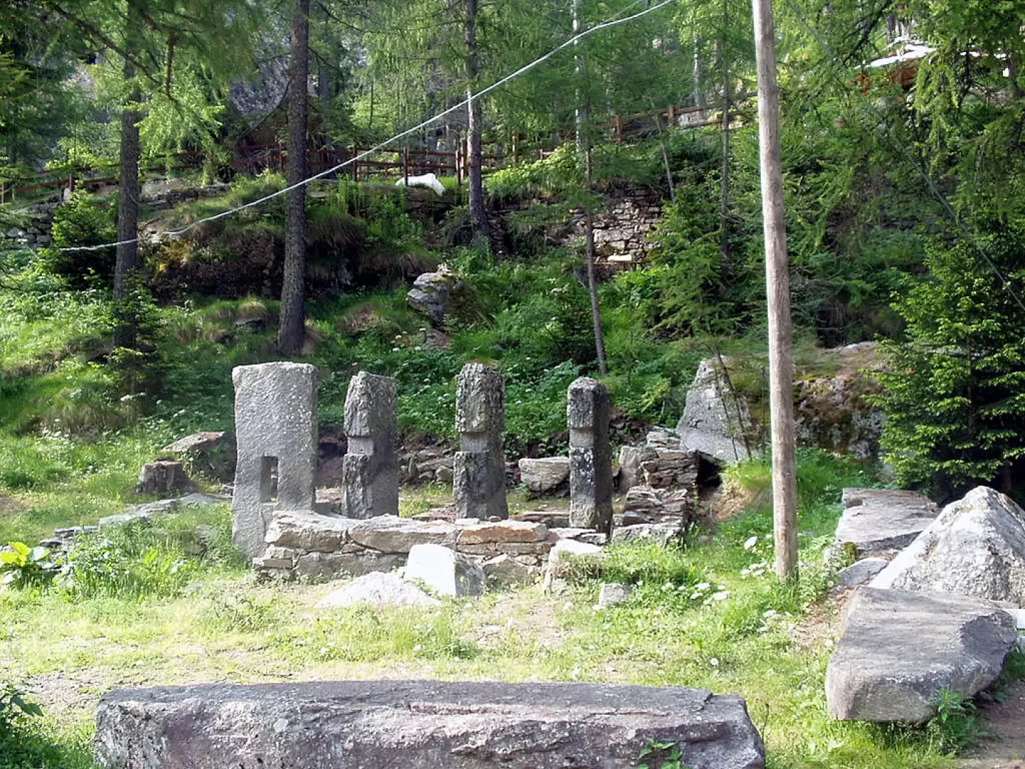
At the motorway exit of Ivrea, take the Pedemontana, the state road, and at Castellamonte the state road of Ceresole Reale. When you reach Noasca, continue past the four narrow hairpin bends and enter the long tunnel until you reach Prese and the hamlet of Brengi, near which you turn left towards the refuge Tappa "Le Fonti Minerali". There is parking in the large space after the refuge (1494m), after the remains of a battery of donkey-head hammers.
How to get there with GMaps
How to get there with Apple Maps
Introduction
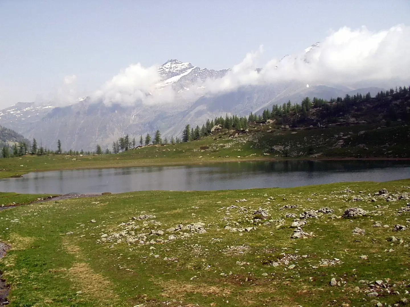
Lake Dres fills a glacial basin on the edge of the Gran Paradiso National Park and lies on the final spur that descends from the Cima della Piccola, east of the Levanne. The proposed itinerary takes place for the most part in fir, pine and larch forests and ends in the bucolic plateaus and meadows before the lake.
Description
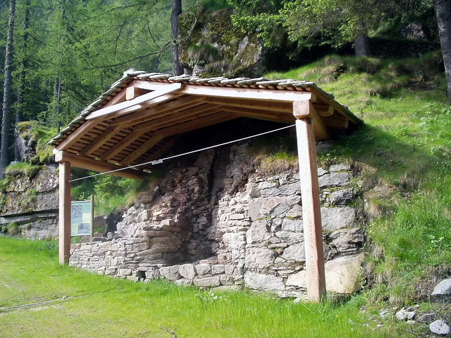
From the car park you can either turn back a few dozen metres and immediately turn right following the
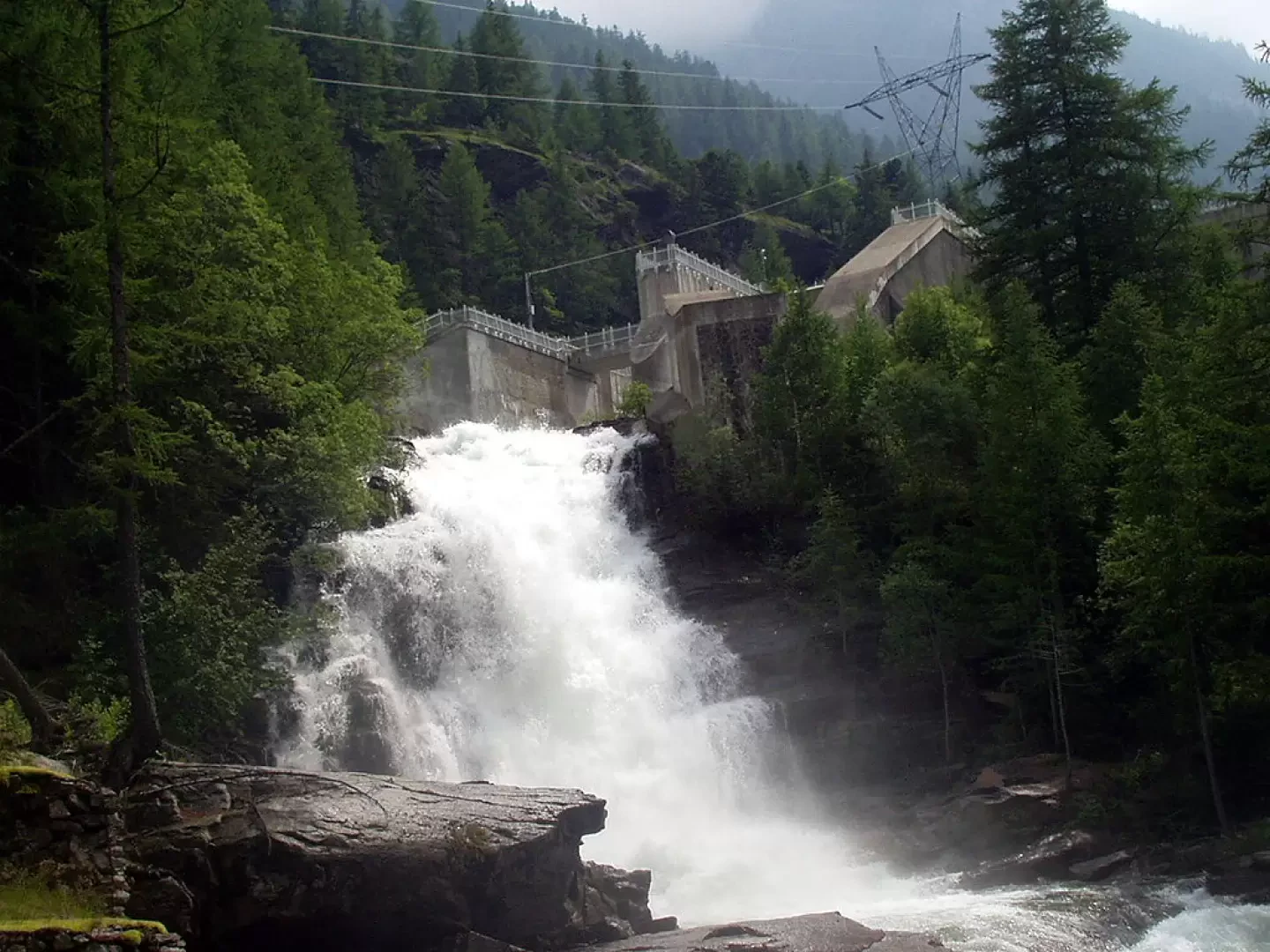
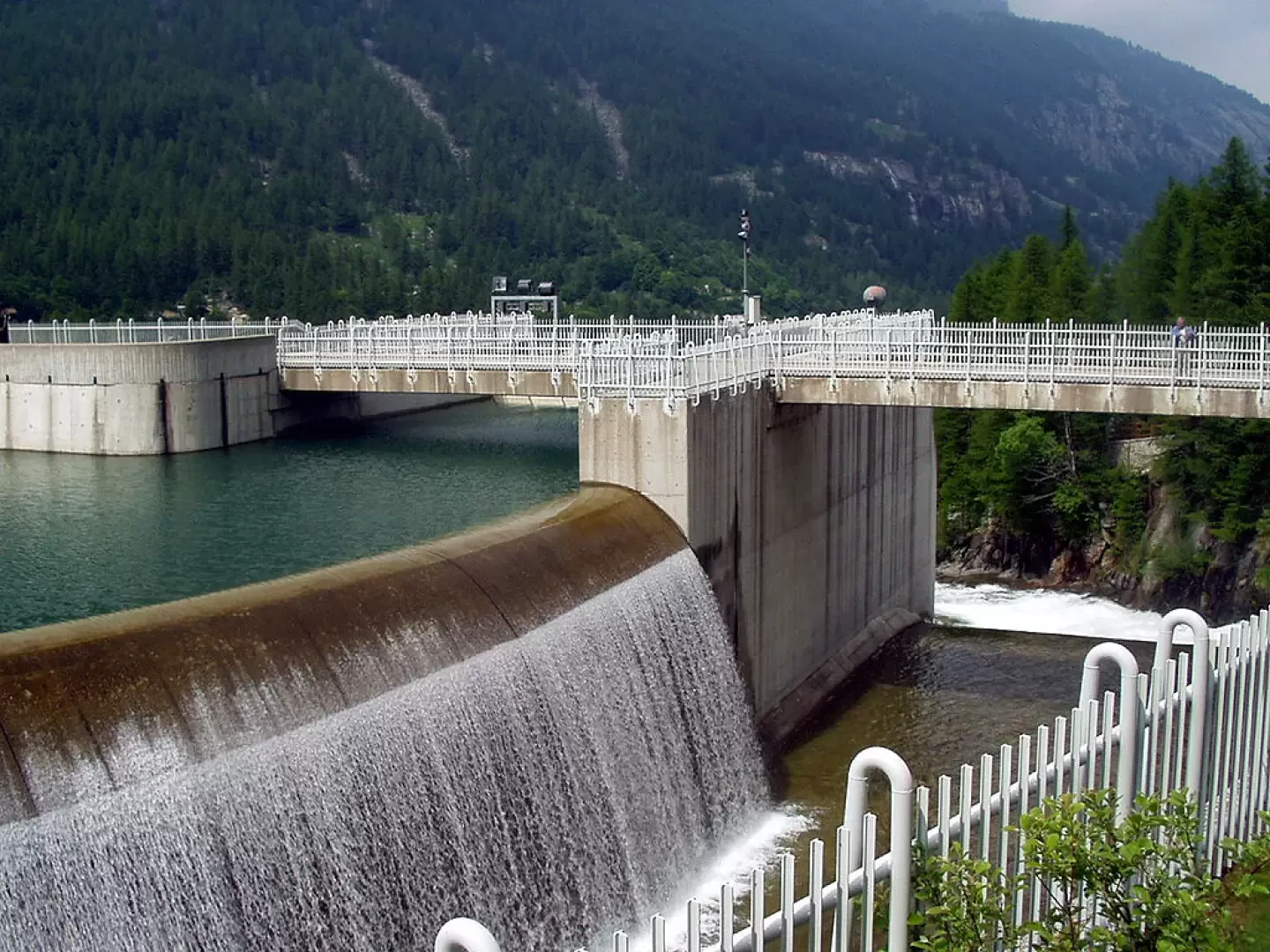
signpost for Lago di Dres and Colle della Piccola, or (recommended) proceed towards the bottom of the car park to observe the rushing Orco torrent and turn left to reach the main signpost near the remains of a sleeve oven. The road climbs in wide bends, taking you close to a beautiful waterfall drawn by the torrent, leaves the turnoff to the left for the Laghetti di Bellagarda and Bocchetta Fioria, and reaches the crown of the Ceresole lake dam just near the drainage canal. Now continue along the road around the lake to the signpost for Villa Poma. A few more steps and on the left rises the mule track to follow. After a 6/7 minute walk, ignore the signpost
-
for the Balma and the Colle della Crocetta on the left and continue into the grassy clearing among beautiful larches as far as the footbridge over the Rio del Dres. The track climbs not too steeply in the coniferous wood, keeping not too far from the Rio, then bends right for a long stretch towards Alpe Pian Rocce (do not follow the unmarked path that proceeds to the right) and goes back to the left up to the crossroads with the
signposts for the Leonesi hut and
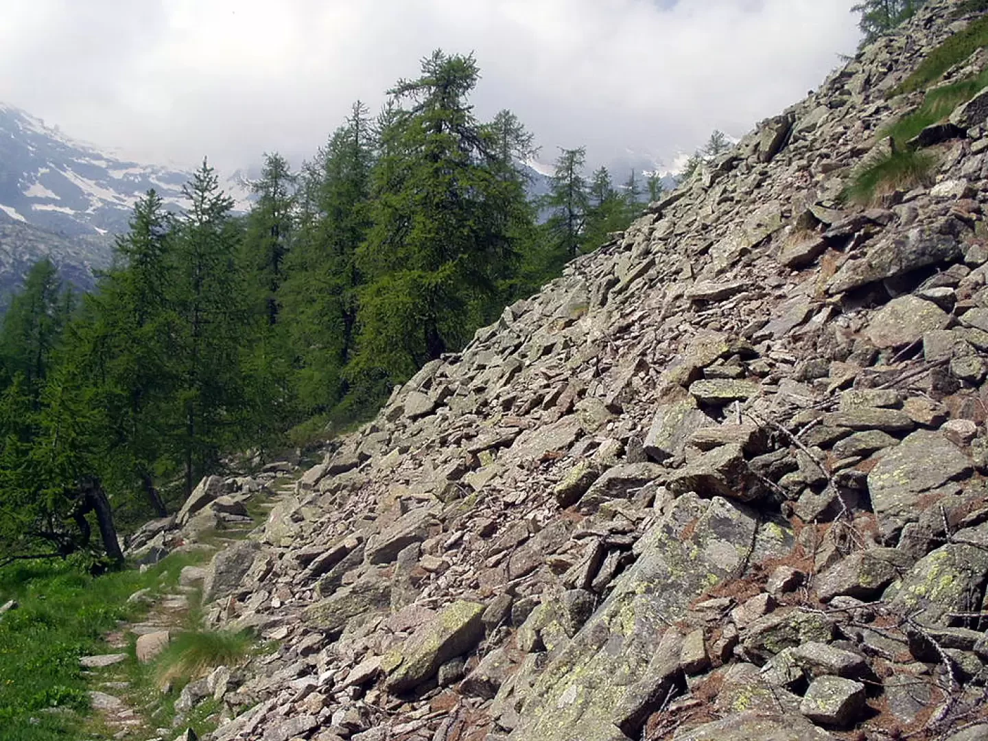
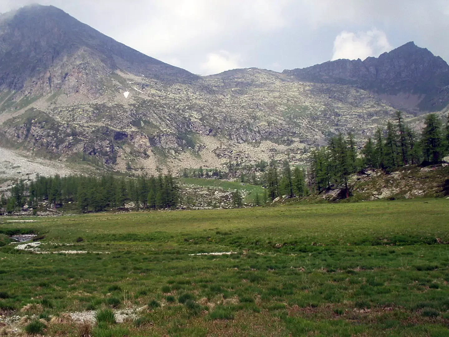
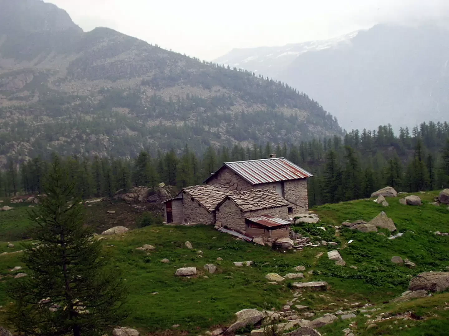
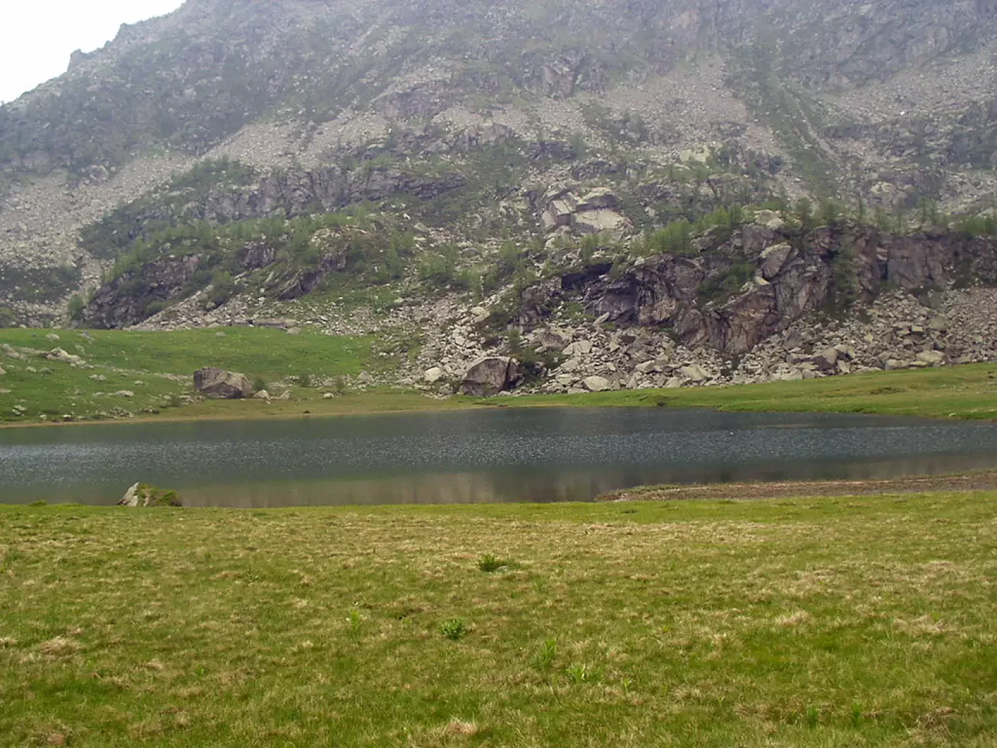
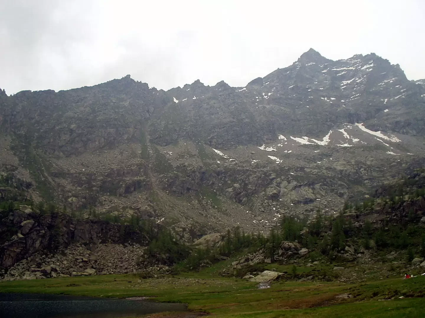
for the Colle di Nel. You proceed through a bucolic little valley of larch trees, pass a large solitary stone and in a few minutes you reach a col above a little valley. The track, which is almost flat, keeps to a scree slope and, amidst meadows and sparse larch trees, leads to the remains of Loslà. Again across meadows and a few larches, you arrive at the large plateau at the foot of the Levanne, cross two streams on footbridges and reach Alpe Foppa (against whose backdrop stands the Cresta di Monciatil). On a very slight descent, continue across the meadows until you reach a large boulder and then Lake Dres (2087m).
The return journey follows the same route.
Photo gallery
Comments (0)
Sign in to leave a comment