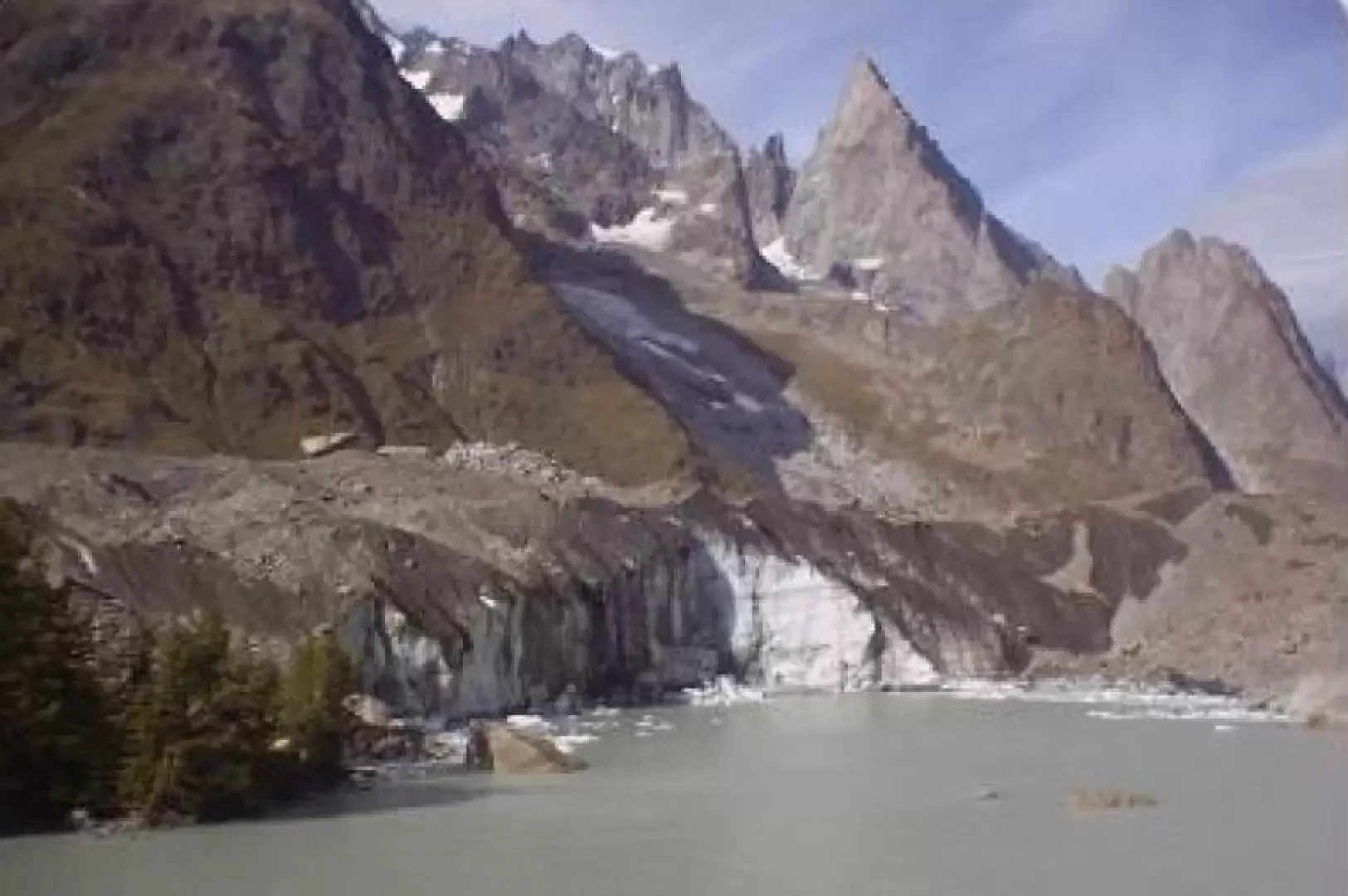
Lake Miage, from La Visaille

Access
Leaving the motorway at the Courmayeur exit
.Introduction
A beautiful hike in a truly extraordinary atmosphere: the view of the glacier towering above the lake is certainly worth the walk.Description
0h00' A few kilometres from the Bosco del Miage picnic area you leave your car as traffic is prohibited (bar in the middle of the road). From here you set off on foot, walking along an inter-modal road, and after about an hour you reach Combal Lake (1950m)
In reality, what is called Combal Lake is a vast marshy plain where the various streams that originate from the glaciers on the orographic left of the lake are grouped together.
On reaching the lake, do not take the direction of the bridge but continue straight on the dirt road until you reach a bar. From here you start to climb a very steep path, which in half an hour takes you directly to a hillock at a higher altitude than the Miage lake, from where you have a very good view of the part of the glacier that falls onto the lake. From there, it is possible to descend to the lake.
General information
Signposts:
Type of route: a/r
Recommended period: June, July, August, September
Exposure to sunlight: east
Objective hazard: possible ice drifts in the lake (calving)
Exposed sections:none
Useful equipment: normal daily hiking equipment
Water:Restaurant Combal
Points of interest
- Lake Combal
- Lake Miage