Pizzo Castello


Edited by:
Paolo Erba
Updated at: 17/02/2025
Access
From Milan, take the motorway to Varese, continuing on to Gravellona Toce and Piedimulera. From the motorway exit, follow for Macugnaga. After passing the village of Castiglione, take a narrow, steep road on the right that leads to Olino.
.Description
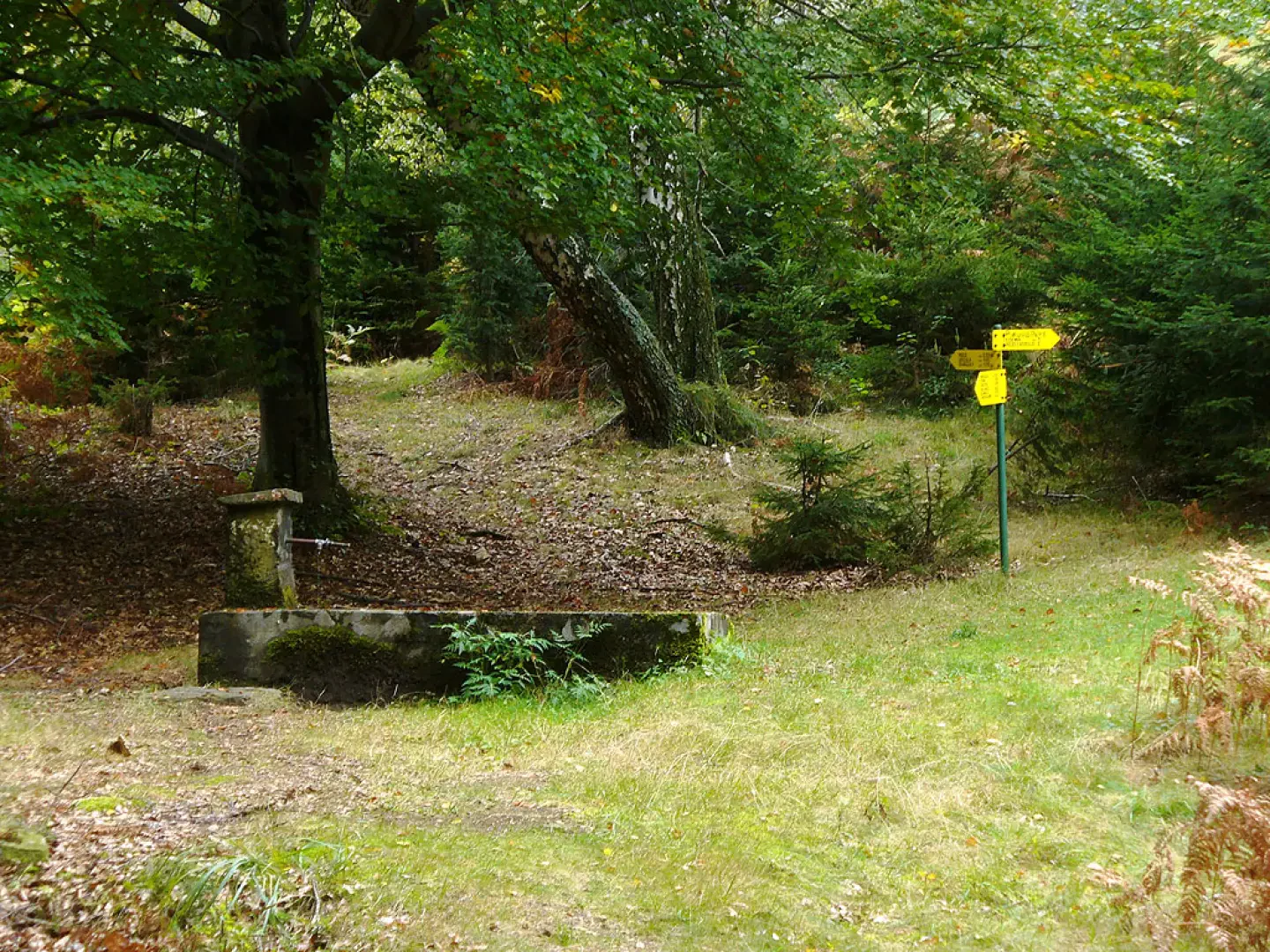
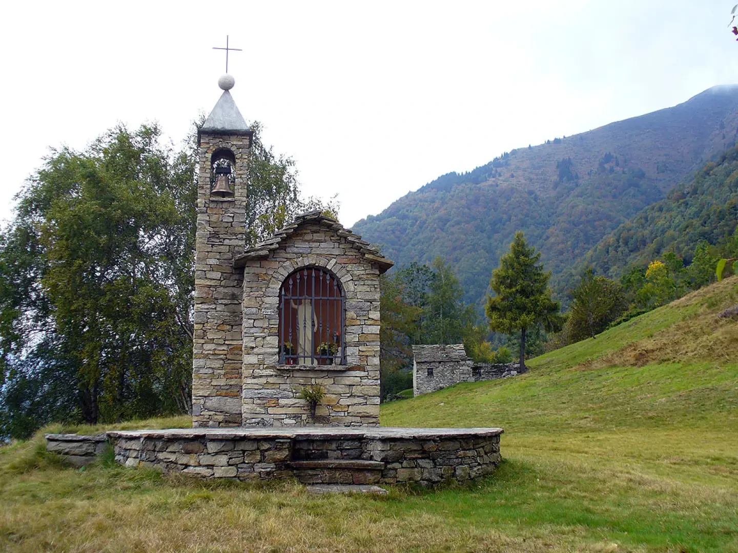
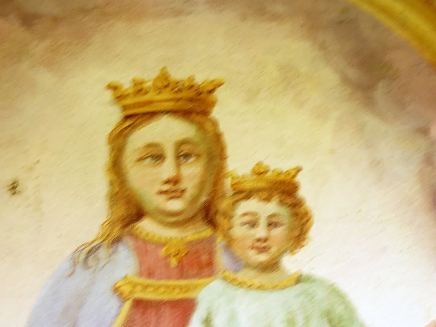
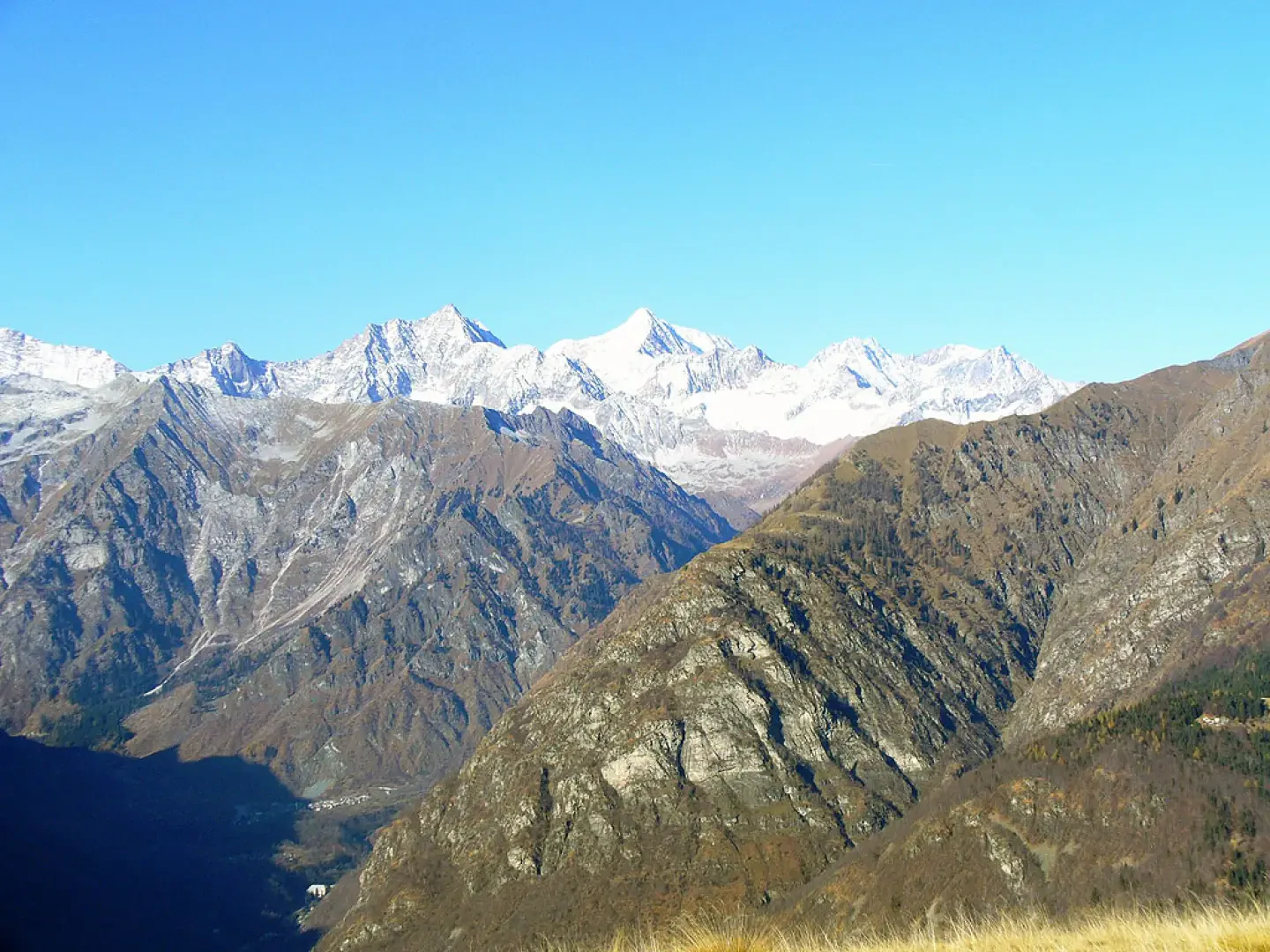
Leaving the car behind, you pass the stone huts on the edge of the magnificent chestnut grove. You thus begin to climb, crossing the road again at a couple of points, a road that is reserved for those who have a hut in Olino. Once in Olino (842m, 0h30'), it is definitely worth a tour of the small, well-kept hamlet, where a person still lives all year round, with its bakery, church and still many cultivated terraces. From one of the last huts, we turn right, paying attention to the marks, climbing up a field, where the now unpaved road also ends, until the signpost that on the right marks Drocala, from which we will return, and on the left our destination, the Rossi refuge at Alpe Colma. We then enter the dense forest and with a decided but never excessively steep ascent, we gain altitude. The track is not always evident, but the path is well signposted. We thus arrive at an isolated hut where we turn sharply to the left until we reach Alpe Preer (1187m, 1h 30'), a beautiful pastureland with great views over the valley and the Ossola. Go past the entire alpine pasture, where there is a well-restored votive chapel, and near the last hut, turn right and start climbing again. Here we are in a place richly populated by deer, which in September, October, can be heard in their characteristic roaring. We soon arrive at the edge of a fir forest where an isolated house stands. We then follow the clearly visible track to the right and with a steep but suggestive stretch of ascent among the fir trees, where it is possible to find porcini mushrooms, we arrive just below the ridge. The now-obvious route continues at altitude until it comes out into the meadows of Alpe La Colma and reaches the hut overlooking the Antrona valley (1698m, 2h30'). It is then possible to cross from valley to valley, descending to Viganella or even directly to Villadossola. From here, the panorama sweeps from the mountains dividing Anzasca from Valsesia to the mountains of the upper Antrona Valley and Vallese, among them Pizzo Andolla and the Weissmeis. To reach the summit of Castello, you still have to walk for about 45 minutes along the entire ridge, ignoring various forks that descend towards the Antrona and Anzasca valleys. Entering a picturesque beech forest, we cross it all and just outside it we finally find ourselves in front of the summit cross (1608m, 3h30'). We retrace our steps to the huts just before the refuge, where we find the sign for Drocala (4h00'), and thus begin the steep descent among birch trees, a sign of pastures that have been abandoned for several decades, until we come to a suggestive fountain in the wood, now of beech trees. Entering the dense beech forest, we descend to the beautiful village of Drocala (5h00'), which has been completely renovated. At the beginning of the village, we must pay attention to the crossroads with a signpost pointing to the right towards Olino. The beech tree now gives way to chestnut. A mule track that deserves some attention, also due to the fatigue now accumulated, takes us back among ups and downs to the crossroads where we meet the dirt road. From here along the outward journey we return to the car (6h00').
Photo gallery
Comments (0)
Sign in to leave a comment