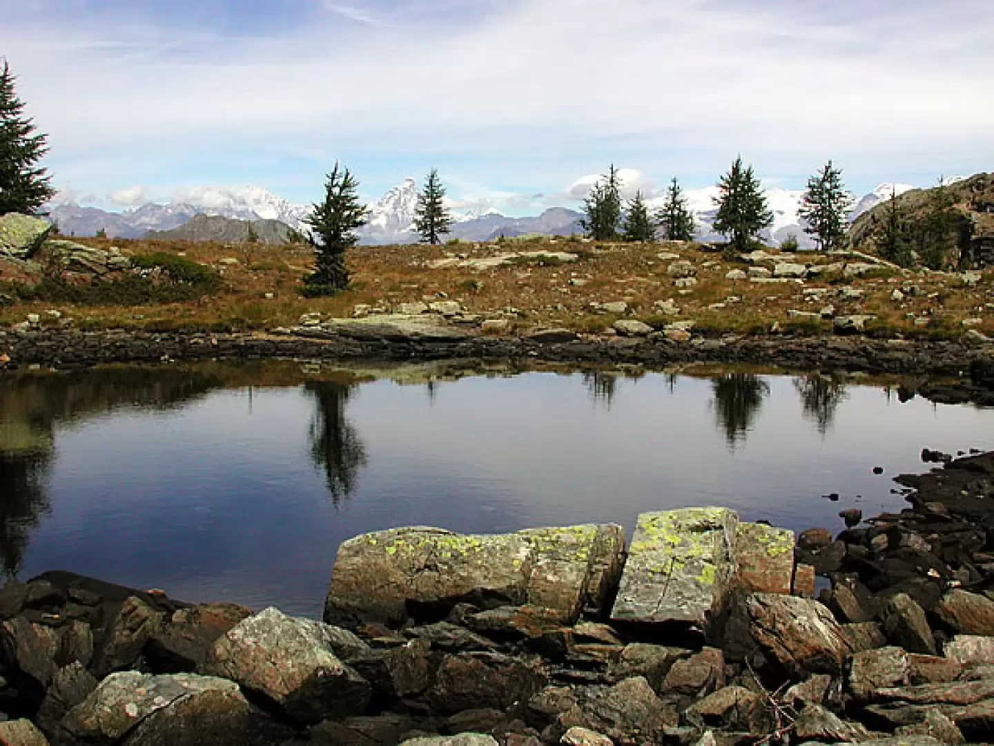
Lac Couvert, from the Lac Muffé car park


Edited by:
Maria Grazia Schiapparelli
Updated at: 23/10/2025
Introduction
This tour takes us across the Champorcher and Issogne valleys, to an unusual and isolated environment, to a lake that has become a peat bog, and to visit rock engravings and a strange menhir. Centuries ago there were people who at least for some time of the year lived up here...
Description
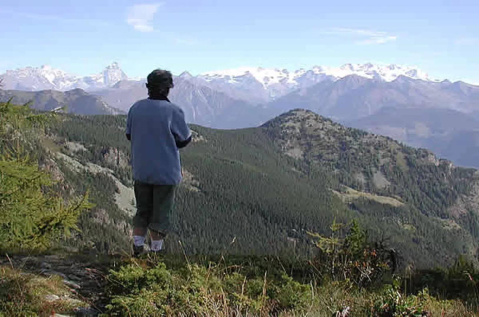
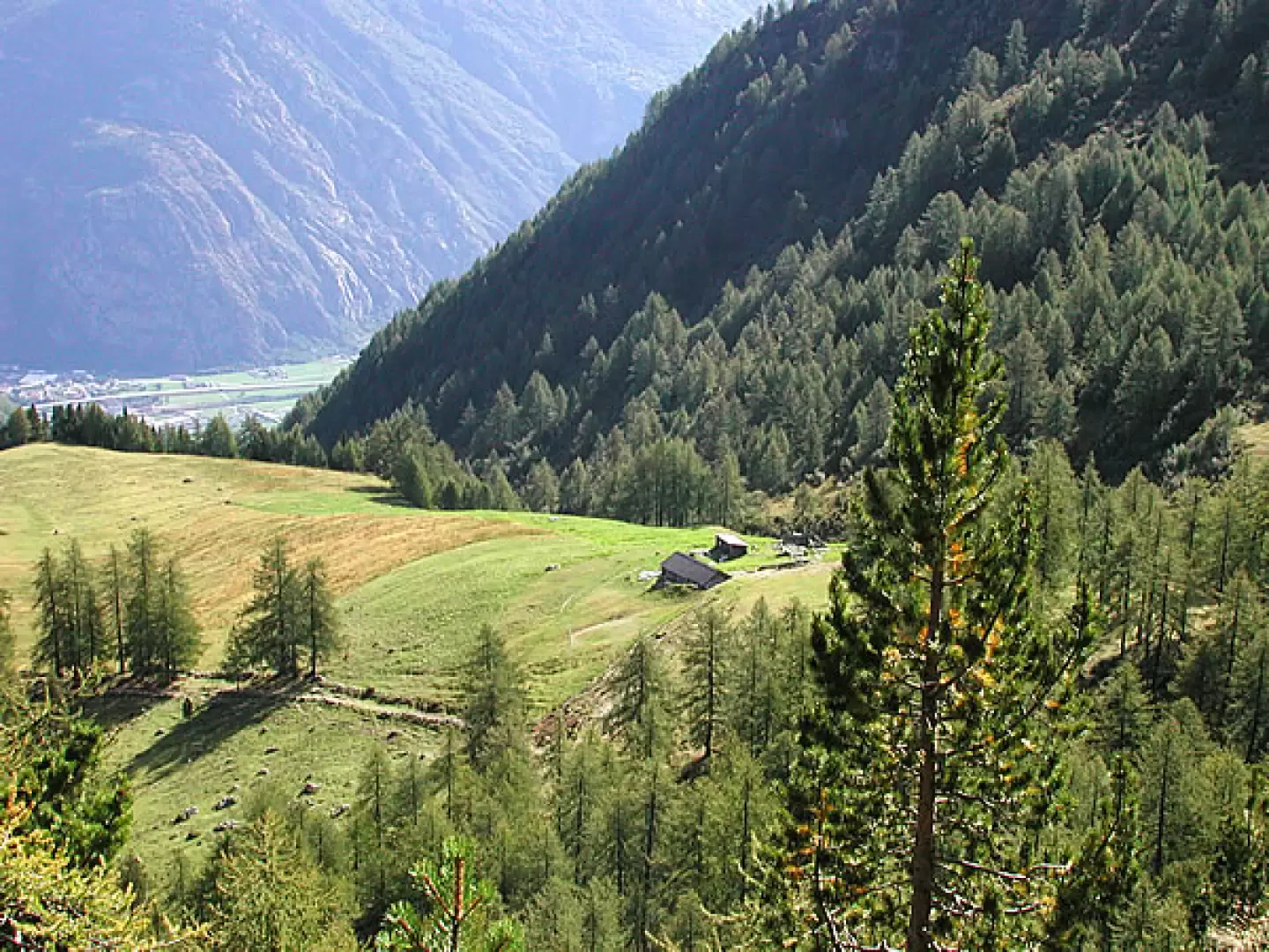
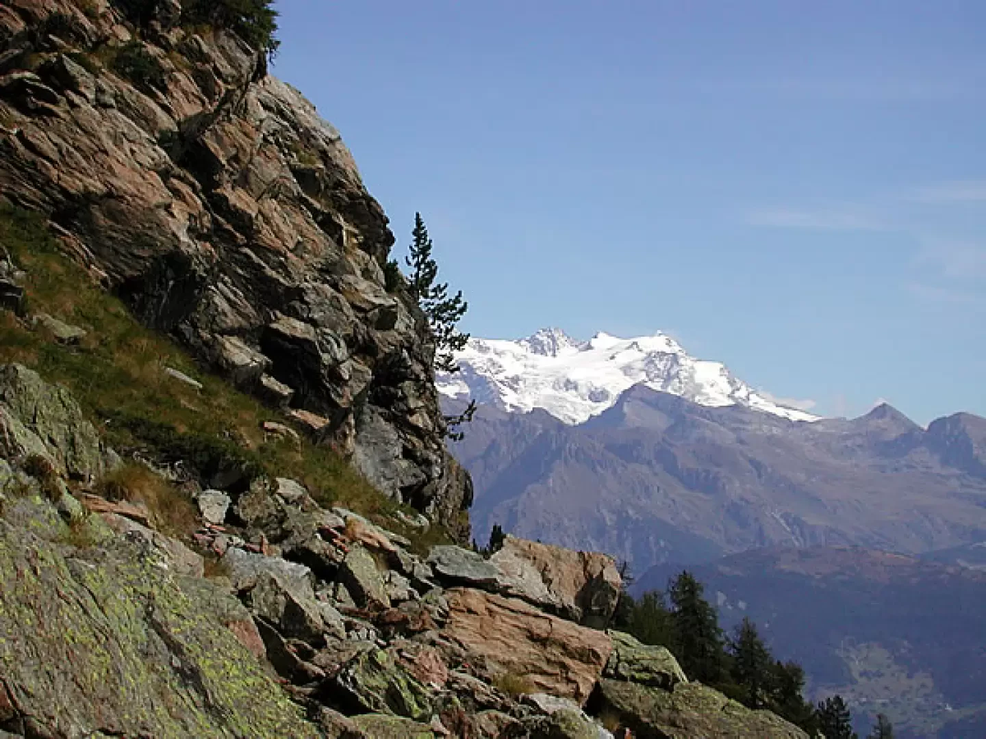
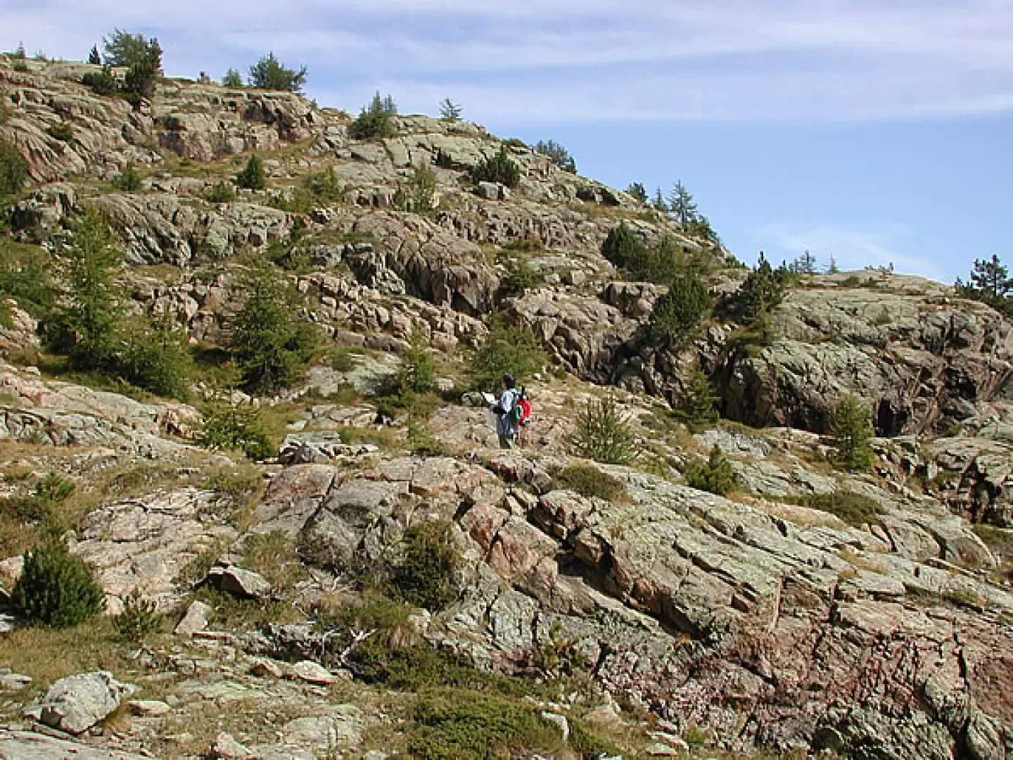
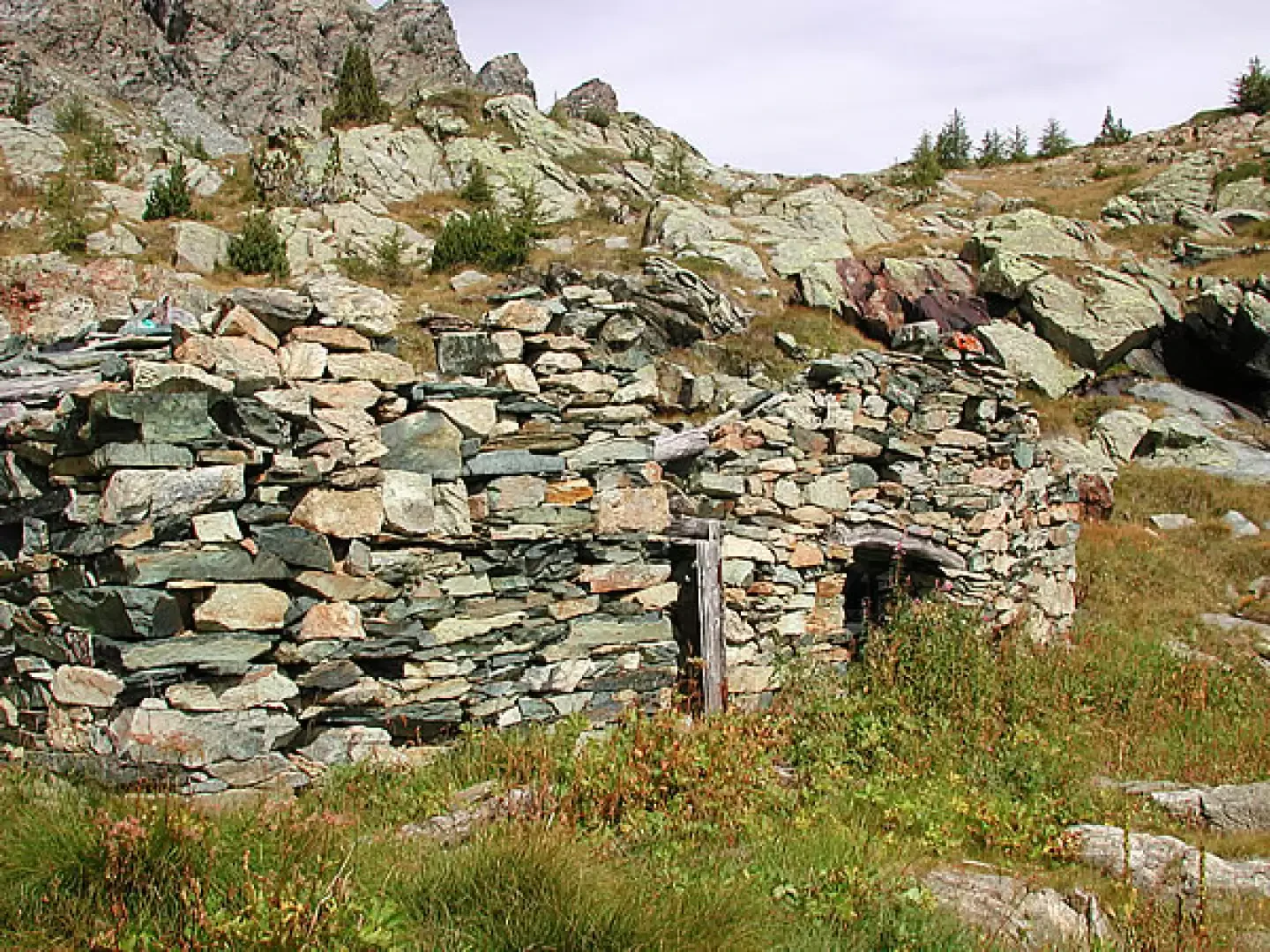
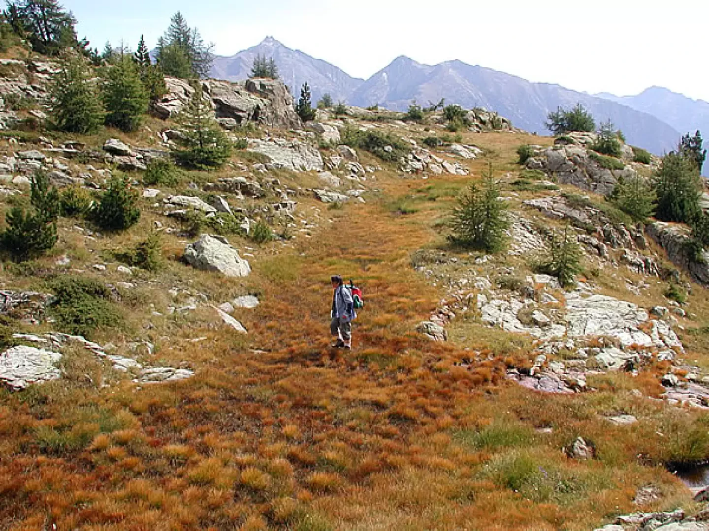
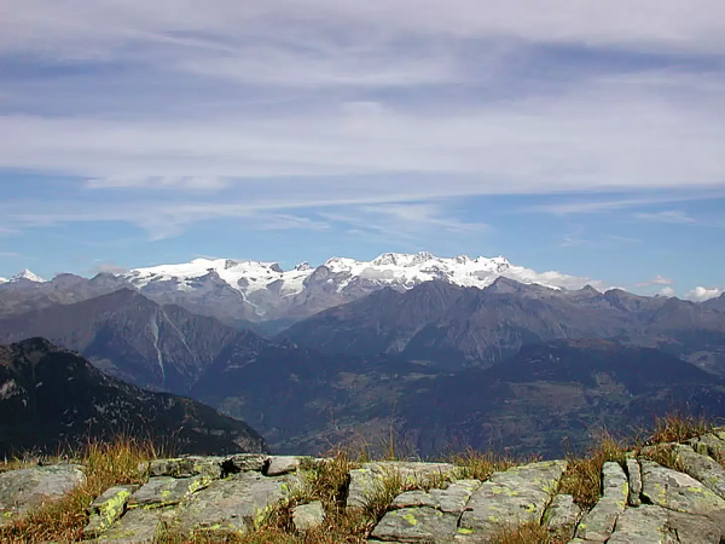
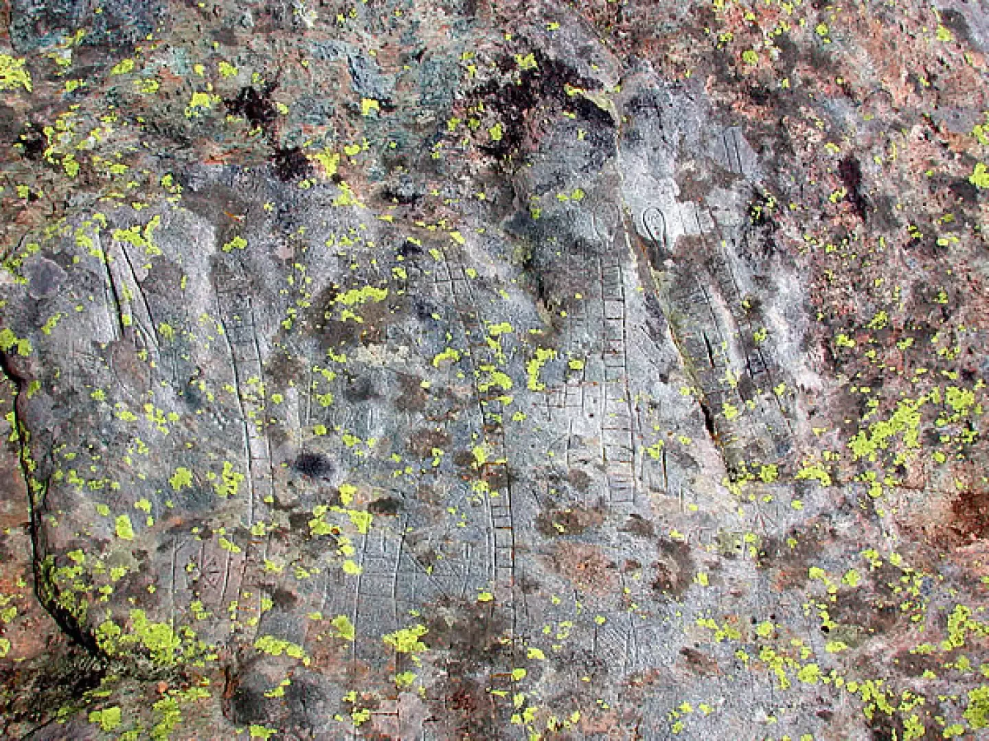
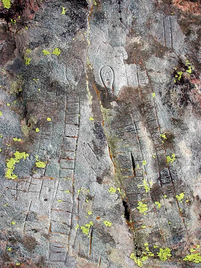
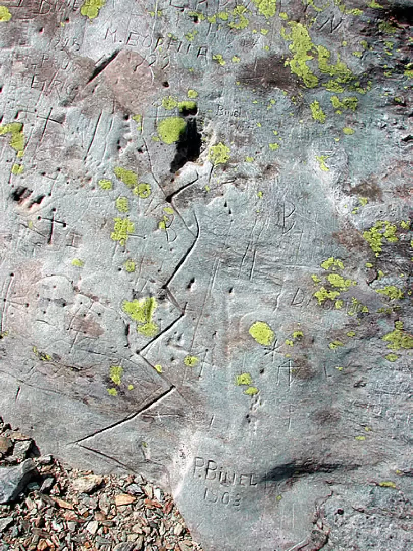
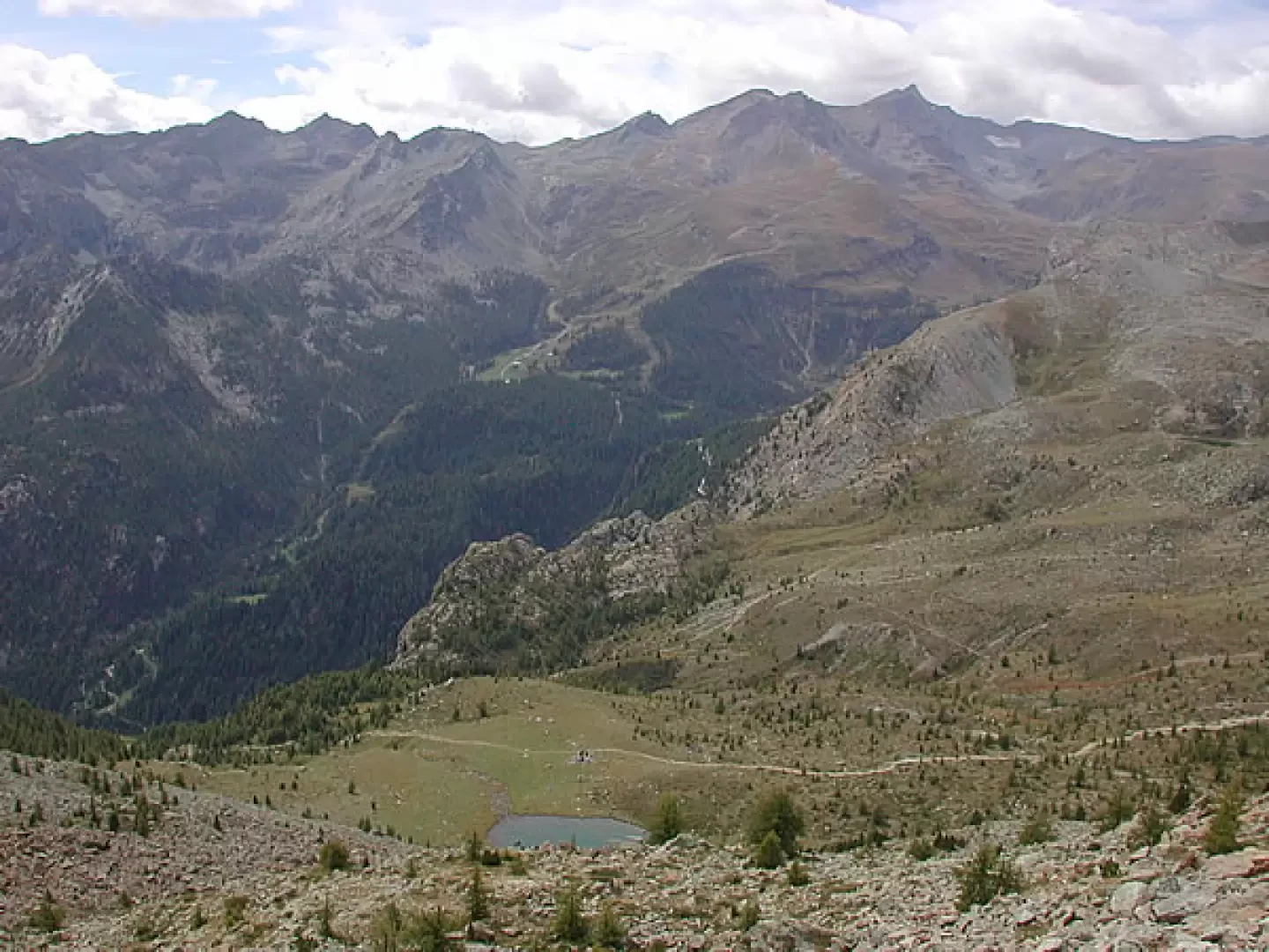
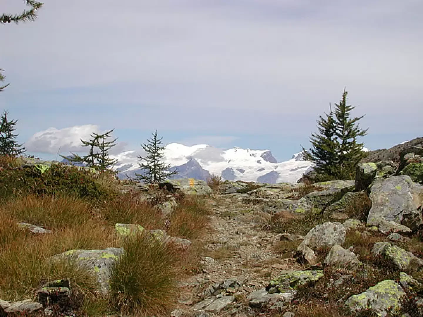
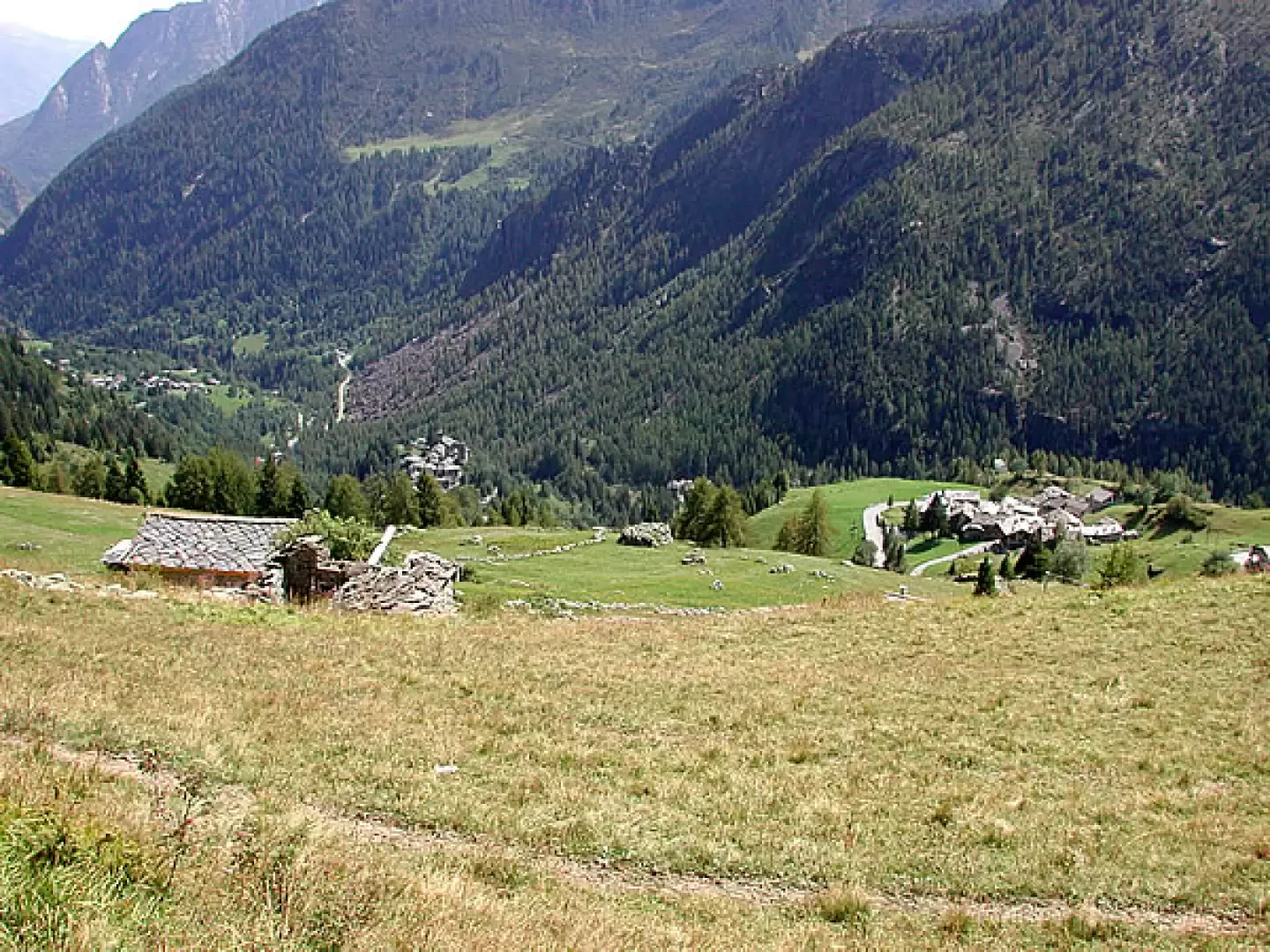
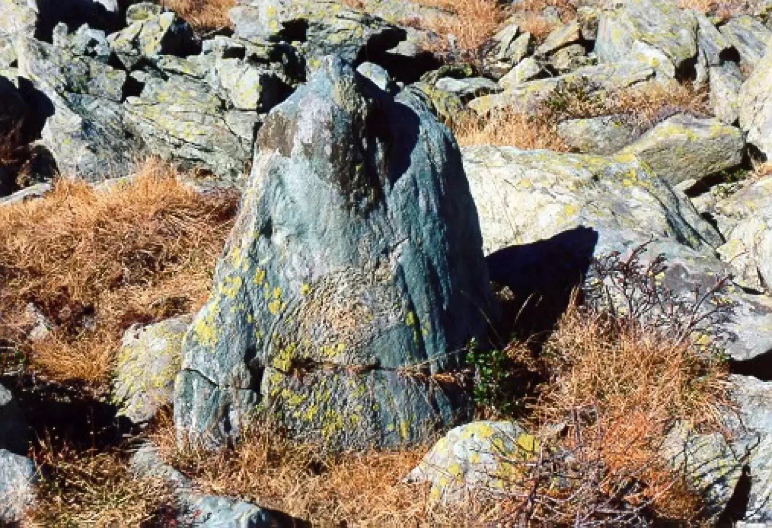
Park the car (1695 m), cross the road and take the beautiful steep mule track to the right between the low walls, which passes next to Cort, and then, above the last mountain hut, the level path to the right, signposted Zuc-Arcomy. Continue with slight ups and downs for a long stretch, until you find the signpost for the Colle di Terra Rossa on the left, which has recently been cleared. The path becomes steep as far as the watershed, then crosses less steep slopes to the left, with sparse vegetation, until reaching Colle di Terra Rossa, (2022 m, 1h20'). From the clearing, wide views of the mountains opposite, including Monte Rosa and Cervino. From the pass, descend to the left for about fifty metres, until you reach a small clearing from which traces of a path lead to the Brenve alp below. Ignore them, and continue in a westerly direction, climbing slightly and crossing a sparse wood; the signs are yellow, but very sparse; be careful not to lose them, as this section of the trail and also the crossing of the last plateau are very poorly marked. The path is evidently not very well-travelled; after an initial stretch that is not very well marked, it climbs evidently to the side of a clapey (stony area); above, to the left, you can see a rock with a somewhat unusual shape: head to the left of the rock, and climb up again, always looking for the signs, first a little to the right and then a little to the left of a small stream, which is also not very evident in dry periods. The upper path moves sharply to the right, and enters a wide plateau. Again pay attention to the signs, which lead to what remains of an old ruined alpine pasture. Pass behind the remains of the building, still following the yellow marks, and continue westwards, moving gradually to the left, towards the north face of the Cima Piana. On the plateau is the menhir, which is about one metre high, with a bird carved on it; it appears to predate the Bronze Age. The path to the menhir is very well signposted coming down from the Col de Pana, so if you cannot find it, climb decisively towards the north face of the Cima until you cross path S3B 102. There is a huge rock where the direction of the menhir is indicated; from this point, going backwards, you will find it without difficulty. Having satisfied this curiosity, continue on the path to the right until you come to a hump from which Lac Couvert is visible below you. Descend to the lake. Beneath your feet, on the descent path, there are very smooth rocks on which a series of rock engravings are clearly visible, stairs, grids, and unfortunately also more recent engravings of shepherds grazing their herds or flocks in the area. Another boulder full of engravings is to the left, some thirty metres before reaching the lake, and above this boulder there are some large stones leaning to mark its presence. I strongly advise against venturing into this area if visibility is poor, because even in bright sunlight it is not so easy to find paths and engravings... We did quite a bit of touring... Our tour was done in 2006, a couple of times, and the second time there were already a few more poles... From the lake, a beautiful view of the northern side of the lower valley (2 h 30); the path descends to the Pana lake, below, and then to Issogne.
Return
retrace the path following the S3B 102 markings, return to the large stone with the signpost for the menhir and climb up to the Pana pass m. 2319, first with a long diagonal and then with a series of turns. When we reached the pass, we preferred to cross to the right under the Cima Piana (which, if you still have some, can be climbed by following the signs on the right at a certain point of the route), we reached the col de la Croix and its very pretty lakes, and from here we descended to the left, until we reached the very wide path that descends from the col del lago Bianco (and the Barbustel refuge), passes beside the Muffé lake, and then descends in a hollow to the meadows above the Cort alp. Here you can either cross the stream to the left, make a long traverse and then descend to the car, heading for the mountain pasture below on the path taken in the morning, or continue straight ahead along the path from which you came, until you reach the tarmac road, which you follow to the left as far as the car park below (5h00').
Photo gallery
Comments (0)
Sign in to leave a comment