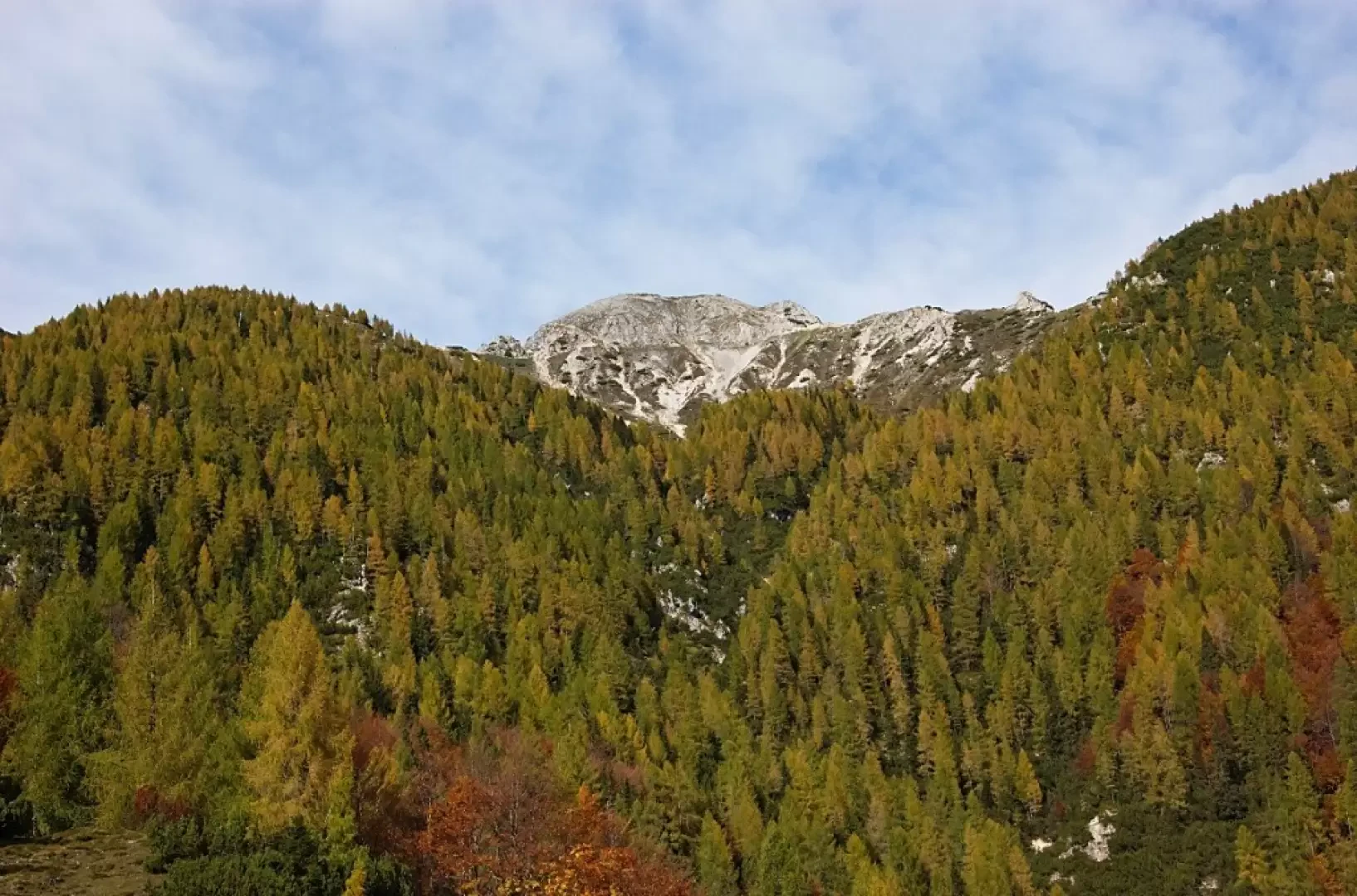
Jôf of Miezegnot

Description
Following the winding Val Dogna carriageway, as far as the wide Sella Somdogna saddle (parking possibility at 1397m), take the cart-track on the left, which soon leads to the Casera Somdogna (1430m) above. A little further on, the path enters a beech and fir forest until it reaches the upper meadow basin, which houses a ruined military village dating back to the First World War. One of the buildings of the military village was used as a bivouac by the Gemona Alpine Battalion (1890m). From the shelter, climb the steep path along the south-west crest of the Jôf di Miezegnot (2087m) and you will soon reach the scenic peak.
Signposts: 609 (Sentiero della StorinaUmberto Pacifico)
Type of route:a/r
Recommended period:May, June, July, August, September, October
Exposure to the sun:
Objective hazard:
Exposed sections:
Useful equipment:
Water: