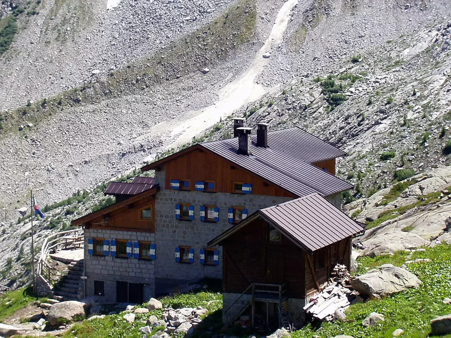
Stavèl Denza Refuge, from the former Fort Pozzi


Edited by:
Ivano Ruffoni
Updated at: 05/03/2025
Access
At the Ospitaletto exit of the [A4] motorway, follow the local signs for Valle Camonica following the SP19 and SP510. Near Pian Camuno, go up the valley on the SS42 del Tonale e della Mendola road to Edolo, turn right towards Passo del Tonale, pass Incudine, Vezza d'Oglio, Temù and Pontedilegno. Continue along the SS42 to Passo del Tonale. From the Tonale Military Memorial, descend down into Val di Vermiglio for about 8km to the junction on the right for Velon and Stavèl. Taking the right, follow this road for about 1.9km until the signs on the right for Rifugio Stavèl Francesco Denza. Take the dirt road, which is very narrow and uneven in places, and follow it for about 6 km to the car park in front of the former Fort Pozzi Alti (1884 m) (alternatively, you can go up the road on foot, cutting across some hairpin bends, in about 1h 30', following the SAT 233 signpost).
Note #1: The Tonale Pass can also be reached with the SS42 from Valtellina - via the Aprica Pass (SS39) and the Gavia Pass (SS300) - or from Trentino - going up the Val di Sole and the Val di Vermiglio - .
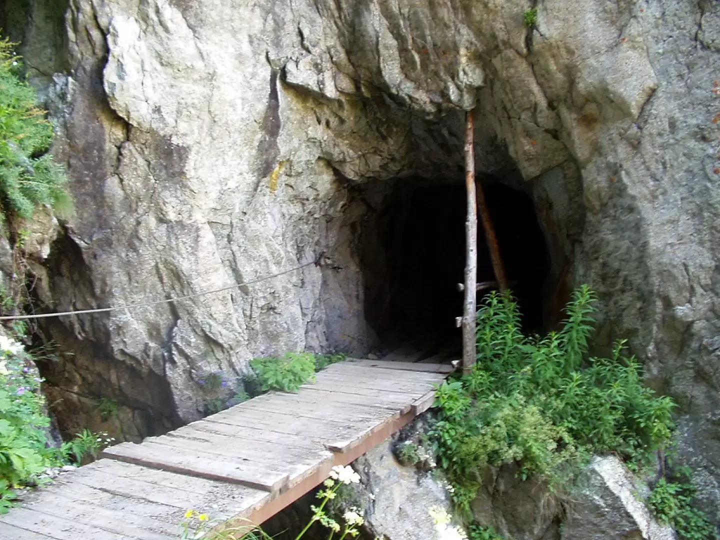
Note #2: The itinerary crosses a tunnel. The use of a torch is recommended.
Introduction
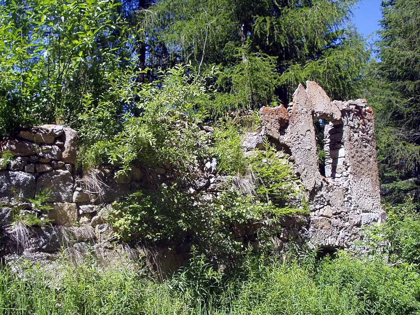
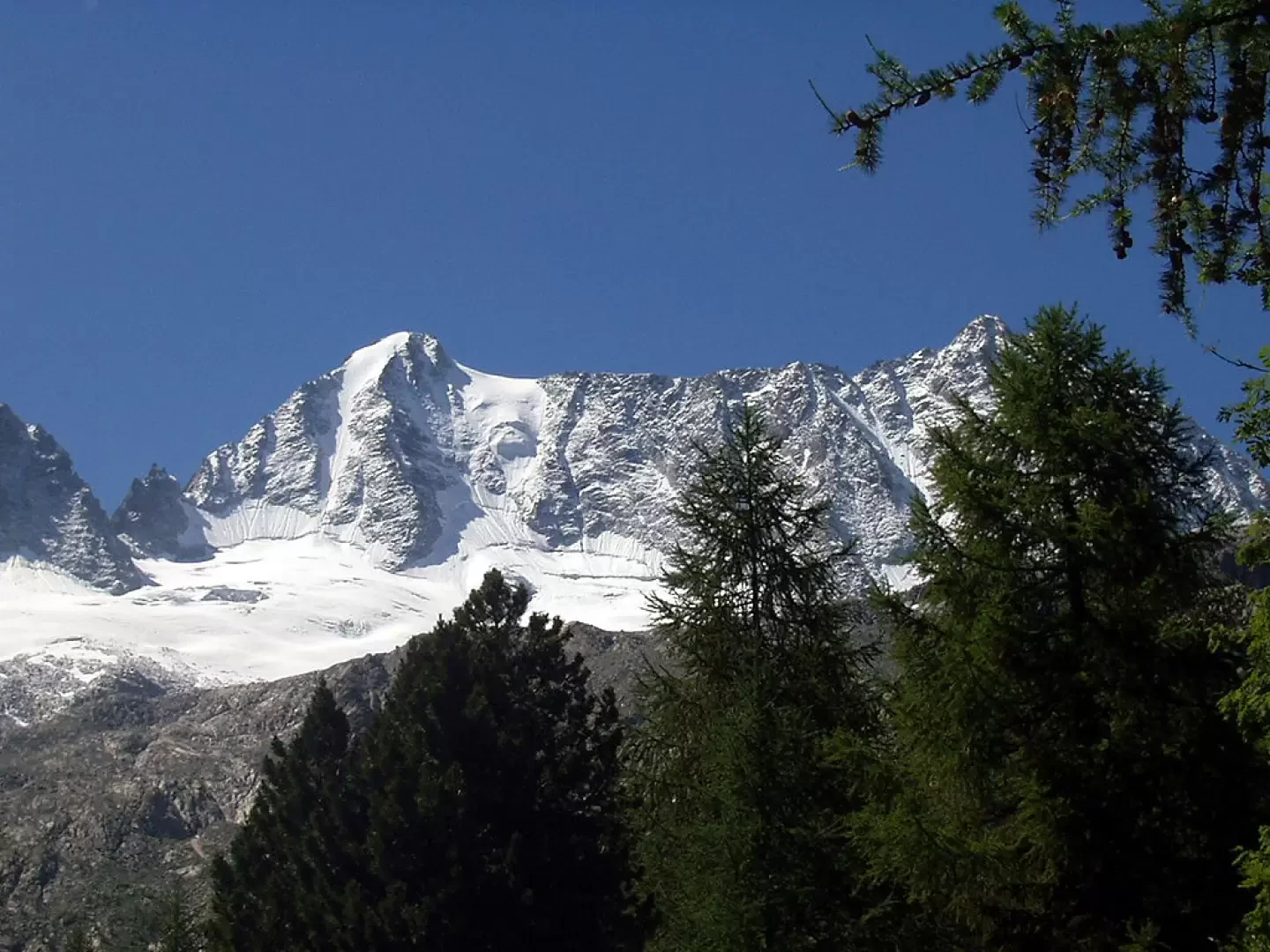
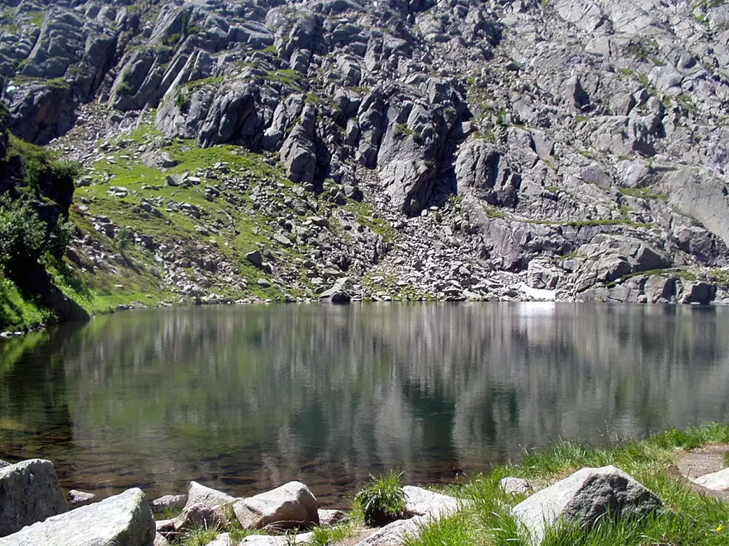
The Stavèl Francesco Denza Refuge, dedicated to the Neapolitan meteorologist of the same name, is the classic base for ascents to Presanella. The hut is located on a terrace at the foot of the Vedretta Presanella. Nearby is a winter bivouac, a small church built with what remains of some Austrian military barracks from the First World War, and, just above, the small Presanella Lake.
Description
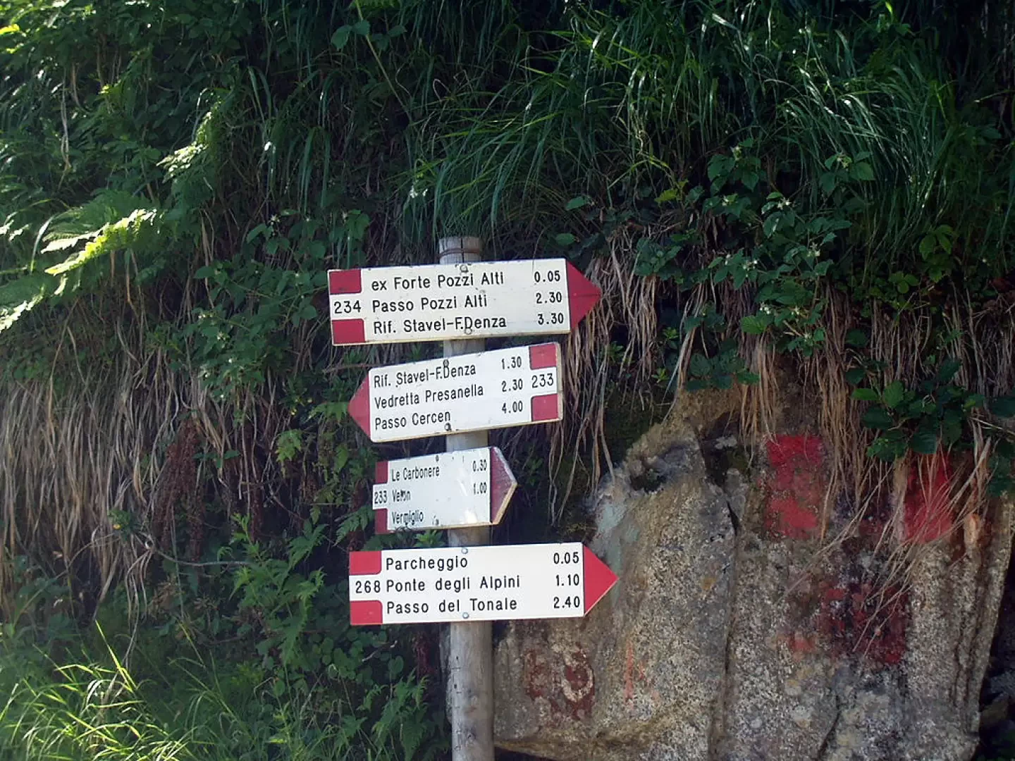
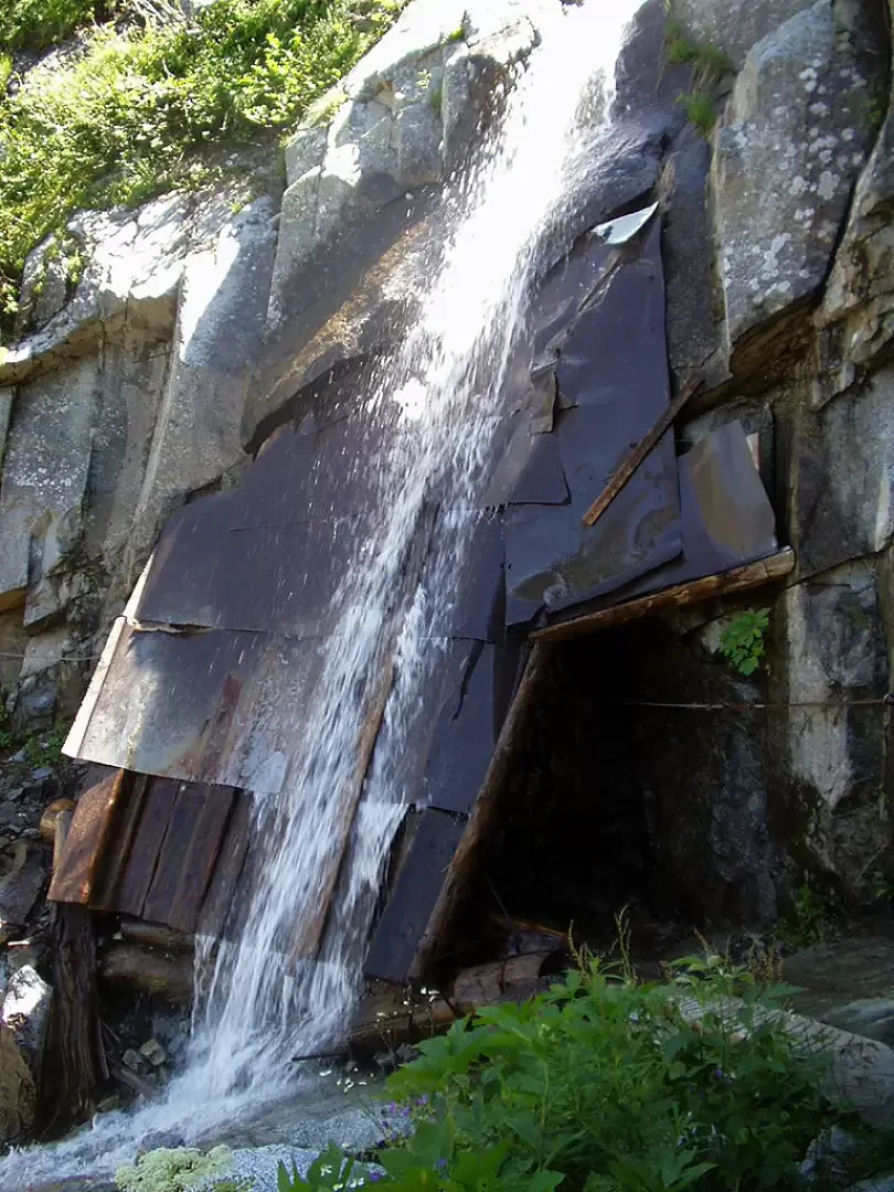
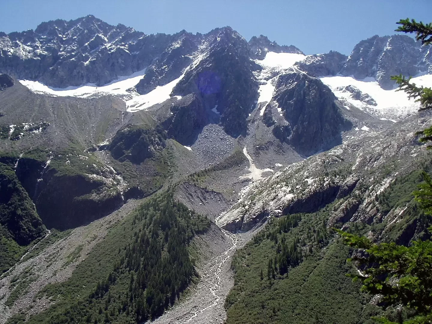
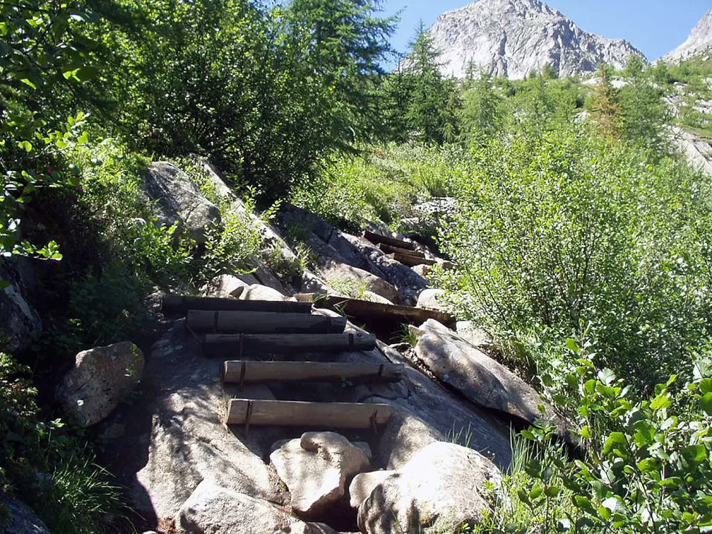
From the car park near the former Pozzi Alti Fort, descend in five minutes to the first hairpin bend where, on the right, the signpost [233] for Rifugio Stavèl Francesco Denza, Vedretta Presanella and Passo Cercen begins. The mule track, which is practically flat, leads in about ten minutes to the crossing of a tunnel and the subsequent wooden footbridge. After a landslide in the hollow of a stream, you come to a canopy protecting you from a waterfall. The track bends to the right below Croz di Stavèl and leads to the first view of the Presanella Group. With a moderate incline, the mule track climbs up to Gras di Presanella (2000m, 0h40') where it crosses the signpost [206] coming from Stavèl. Through hairpin bends, you approach the splendid Val Presanella and ascending the path, at times confused with a stream, between a few wooden steps and low vegetation, you reach the terrace where the Stavèl Francesco Denza hut stands (2294m, 1h30').
We recommend a visit to Laghetto Presanella (2314m), which can be reached in about ten minutes by following the signpost [234] to the right for Passo dei Pozzi.
The descent is along the same route.
Notes
The itinerary crosses a tunnel. The use of a torch is recommended.
Photo gallery

Comments (0)
Sign in to leave a comment