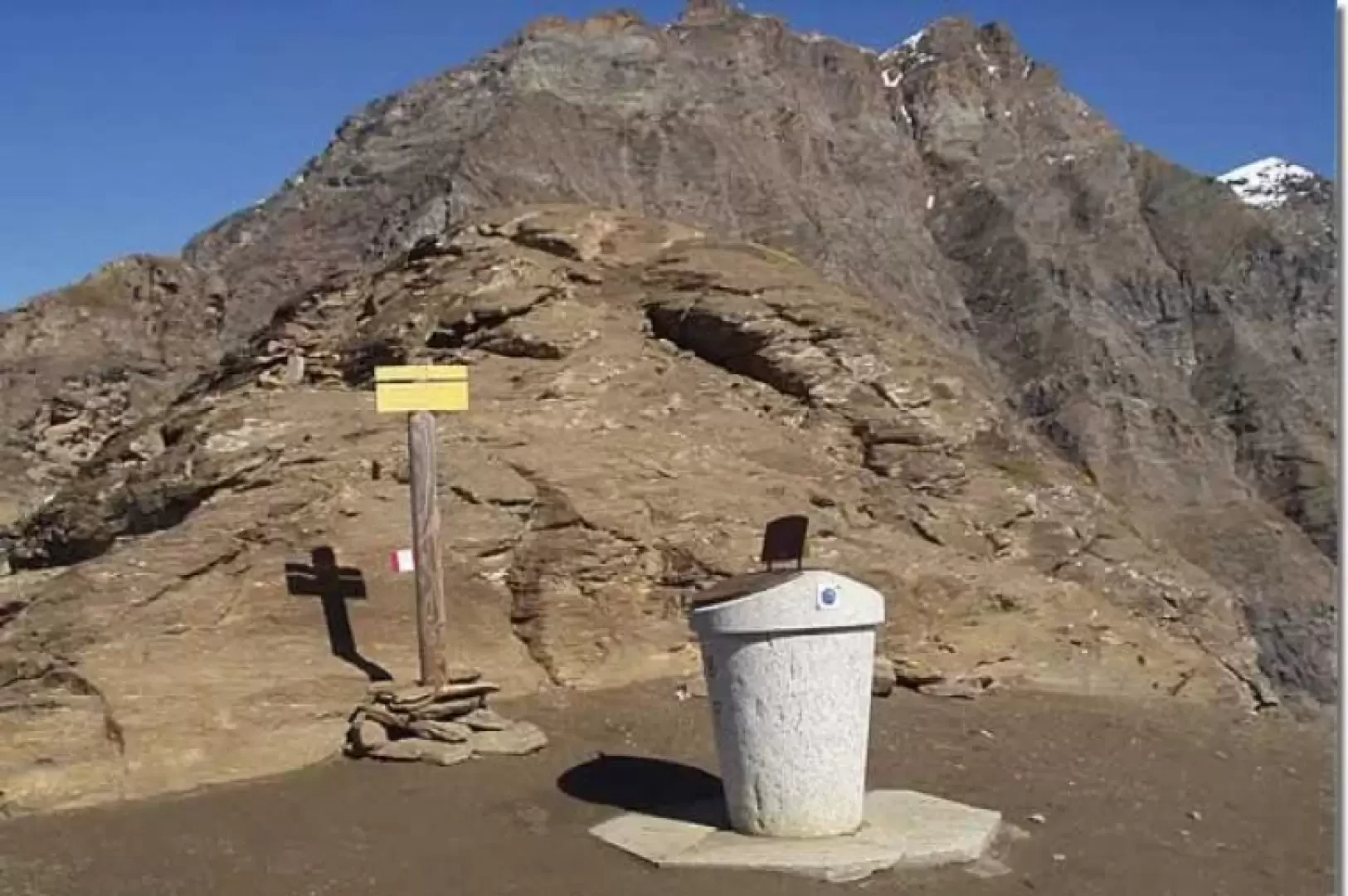
Colle della Losa, from Lake Serrù

Access
At the Ivrea exit of the A5 motorway, take the Pedemontana road, SS565, and at Castellamonte, the SS460 of Ceresole Reale. Arriving in Ceresole Reale, you skirt the lake of the same name and continue along Provincial Road 50 of the Colle del Nivolet, where access, in the summer months, is regulated or permitted only by the convenient shuttle bus. Continue towards Lake Serrù, pass the hairpin bend near the crowning of the dam, climb up to the next hairpin bend and park, on the left, at the next hairpin bend on the right, just above the crowning of the dam, just before the "Glacio Museo".
Introduction
The Colle della Losa is a wide saddle just south of the Cima del Gran Cocor. It is the highest point of the 'International Trail of the Colle della Losa' and, linking the upper Orco valley with the Val d'Isère, joins the 'Gran Paradiso National Park' with the 'Parc National de la Vanoise'. The place-name 'Colle della Losa' probably also derives from the name of the stone slabs, carved from the rocks of the surrounding mountains, used for centuries as roof coverings by the communities on both sides. The itinerary up to the [[Rifugio Pian della Ballotta]] runs along the Serrù lake (also crossing an area where the anchorages of the grids used during the Second World War are still present). It then climbs with fixed ropes (non-elemental section) to Pian della Ballotta and crosses it to the base of the dejection cone of Colle della Losa. It then climbs to the pass with many stretches (not elementary) equipped with fixed ropes.
.Description
A few metres from the car park (2299m), well indicated by wooden signs (signposts for Passo Galisia, Rifugio Piano della Ballotta, Sentiero internazionale del Colle della Losa), almost in front of the "Glaciomuseo" building, the trail branches off. The trail quickly ascends to a grassy balcony (approx. 2401m) from which there is a beautiful panorama of Lake Serrù, the Capra Glacier, Cima d'Oin and Cima della Vacca. Continue halfway up the slope, passing some ruins and arriving at a small lake, typically surrounded by the many tracks of the Gran Paradiso National Park animals that come here to quench their thirst. We continue along the hillside, passing by other remains, with the Rifugio Pian della Ballotta now clearly in view in front of us. Proceed through grass, gravel and various detritus, passing the stony furrows of several streams, then descend a few metres to get around a rocky spur (alternatively, you can skirt it by following a track equipped with a rope), cross the Piccolo Colluret gully and, with a last stretch protected by a rope, reach the Piano della Ballotta hut (2470m, 0h35').
At the north side of the hut, the track leads to Pian della Ballotta (alternatively, you can climb, retracing your steps for a few metres, from the Piccolo Colluret gully - fixed-rope sections). Climb up the rocky part behind the roof of the hut, aided by fixed ropes, on rebar steps cemented into the rock, then continue up a steep and exposed grassy slope, past the waterfall of the stream that collects the waters of the Pian della Ballotta, and finally tackle a final (almost vertical) equipped section. Be careful: the ascent to Pian della Ballotta from the hut, from either road, is difficult and dangerous. When you reach the plateau, turn left to cross the stream on a wooden bridge, proceed among large boulders and, continuing on scree terrain, you will reach the junction for the Colle della Vacca (Col de la Vache). Keep to the right and immediately cross a stream. Following cairns and red notches, proceed among other streams and detritus to the shelf at the base of the dejection cone of the Colle della Losa, to the left of the Gran Colluret gully, which is climbed in steep bends until it rests on the right against a rocky prominence. Ascend, between fixed ropes, other steps in rods cemented into the rock, and following the equipped ledges (watch out for stone discharges) you reach the wide saddle of the Colle della Losa (2957m, 2h15'). The panorama is magnificent: on the Italian side the view is of the mountains in the southern part of the Gran Paradiso group, while on the French side it is of the Val d'Isère. Near the pass, there are two tables for observing the surrounding peaks. It is advisable to complete the hike by climbing up the squat peak (2971m) south of the pass in just a few minutes, where a kind of low wall has been built with slabs, excellent protection against the wind. The panorama widens, to the south, towards the Glacier des Sources de l'Isère ('Glacier of the Sources of Isère' or 'Glacier du Col de la Vache') near the Grande (and Petit) Aiguille Rousse. Note, below, on the vertical, some small lakes, the last vestige of the "Glacier de la Galise".
The descent follows the same route. Descend the dejection cone of the col, cross the Pian della Ballotta and reach the Rifugio Pian della Ballotta (2470m, 1h15'). Halfway up the hillside, you reach the grassy balcony and descend to the car park (2299m, 1h45') Returning to the car park, it is advisable to visit the "Glaciomuseo", housed in the former AEM electricity cabin. Inside, there are themed display boards and photographic panels on glaciers and a model of the "Glacier of the Goat". On the upper floor there are further information boards and a television screen showing a documentary on the world of glaciers. Please note: This route is not recommended if you suffer from vertigo, if the weather is bad or if the rocks are slippery or wet. The descent can be more dangerous than the ascent (especially, but not only, in the stretch from Pian della Ballotta to Rifugio Pian della Ballotta).