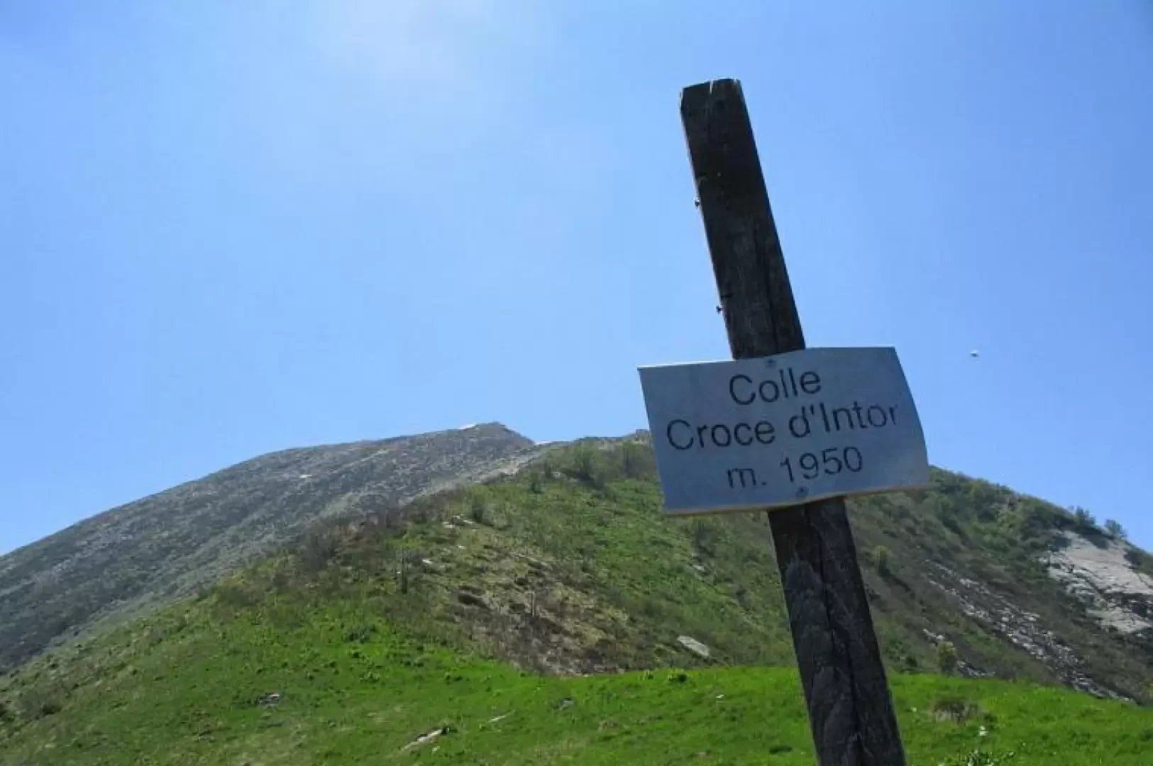
Colle della Croce d'Intror

Access
Da Torino per Ciriè, quindi per Corio canavese. A Corio si attraversa il paese e si imbocca la strada per Pian d'Audi, si prosegue, al primo bivio a sinistra, si attraversa un torrente e al bivio successivo a destra, fino alla case Cutin, dove si lascia l'automobile, dove possibile.
Description
At Case Cutin (approx. 1020 m), pass in front (in the courtyard!) of the first house on the left and, going around it, you will find the path that begins to climb and enters the forest. Follow it, climbing quite steeply and passing from alpine pasture to alpine pasture. After about an hour, you arrive at a ridge from which the view opens up and you can get your bearings. Beware that the path is not marked and some branching tracks can be misleading; the indication is to always try to gain altitude. When you reach the ridge, follow it until you pass a hump that leaves the ridge to the right. Follow the path until you reach a characteristic ruined hut located on a spur from which there is a fine view over the valley and the Canavese plain. From here you proceed on the level or slightly uphill and cross pastures towards the Malone stream. You cross it (take water) and climb up, with no trace left, aiming for the mountain pasture that can be seen above. Pass the first hut and head, still on the steepest slope, to the next two (approx. 1,800m). From here, cross flatly to the left towards Alpe Angiolino (1806m), where you will find the only signpost on the entire trail. Again, climb up the steepest slope, following a few red-white signs at first, and you will reach the col of the Croce d'Intror. Splendid views of the peaks that close the Orco valley to the north, as far as Gran Paradiso. The return is along the same route.