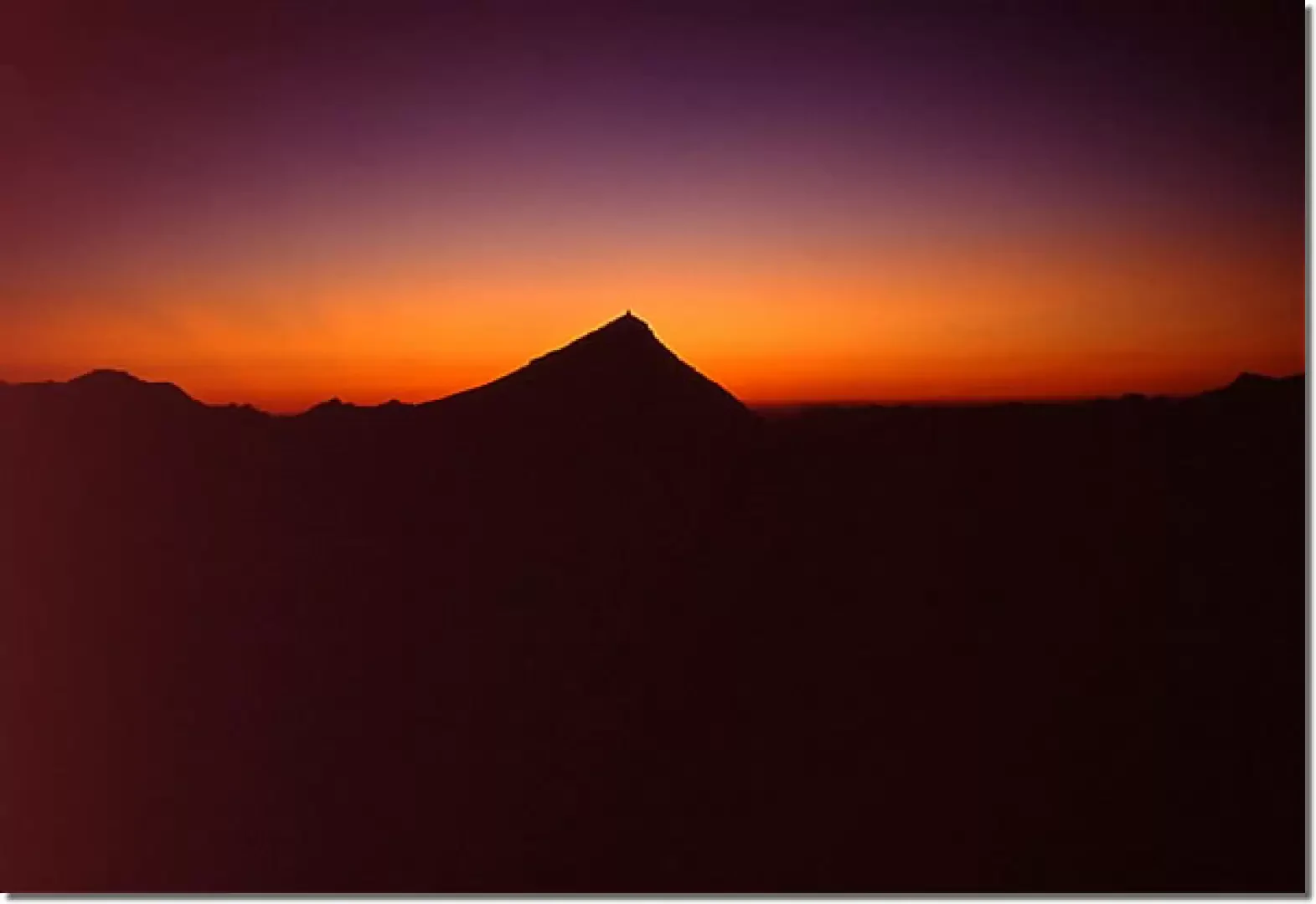
Grande Sassière, from Saut


Edited by:
Franco Rossi
Updated at: 17/02/2025
Access
From Val d'Isere (generally from Italy it is better to access it from the Petit St Bernard Pass), after the junction for Tignes, on the shores of Lac du Chevril past an artificial tunnel, take a small asphalted road on the left that leads to Saut where you can park.
Introduction
Maybe the highest peak in the Alps that can be reached, in the most favourable period, on footpaths (EE difficulty)! This is why it is very popular. Obviously in the presence of snow or ice, especially on the terminal slope below the summit, the effort required for the trip is considerably higher and in line with a summit of over 3700 metres. Given the difference in altitude and the time required by car from Italy, it is advisable to divide the trip into two days, bivouacking at the depression at an altitude of around 3100 metres, where there are dry stone walls that protect from any breezes, making the tent generally useless and allowing a truly suggestive bivouac under the stars. For those who enjoy a more mountaineering and solitary route, there is the possibility of a long traverse (4 km!) along the E ridge uphill (PD) and W ridge downhill, with departure and arrival at the same place in Saut.
Description
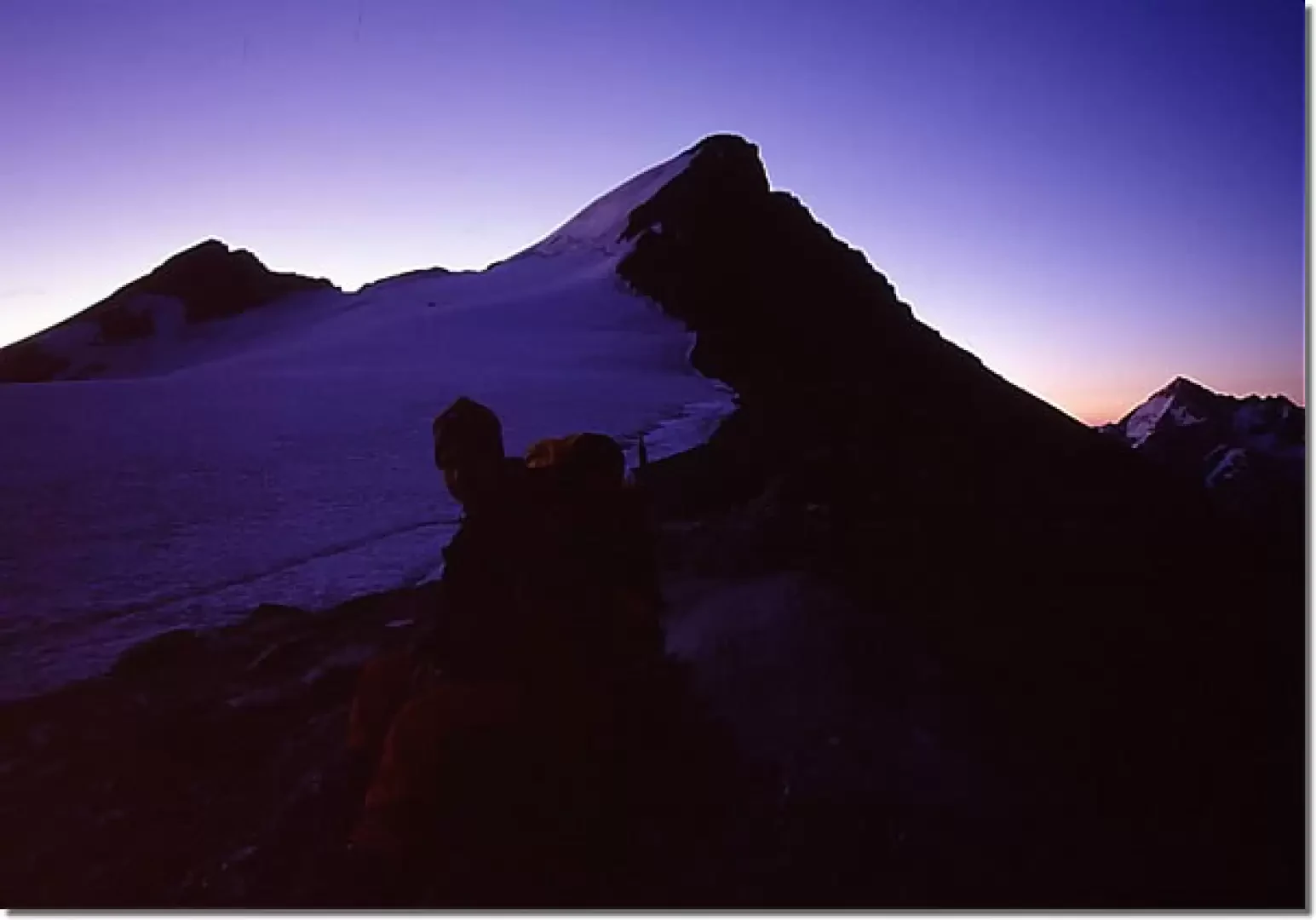
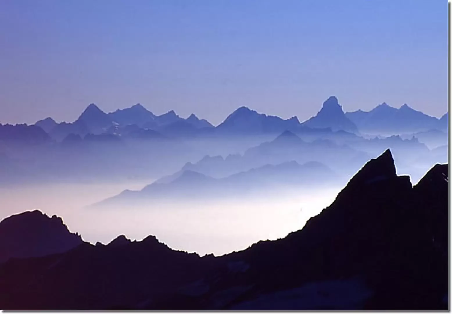
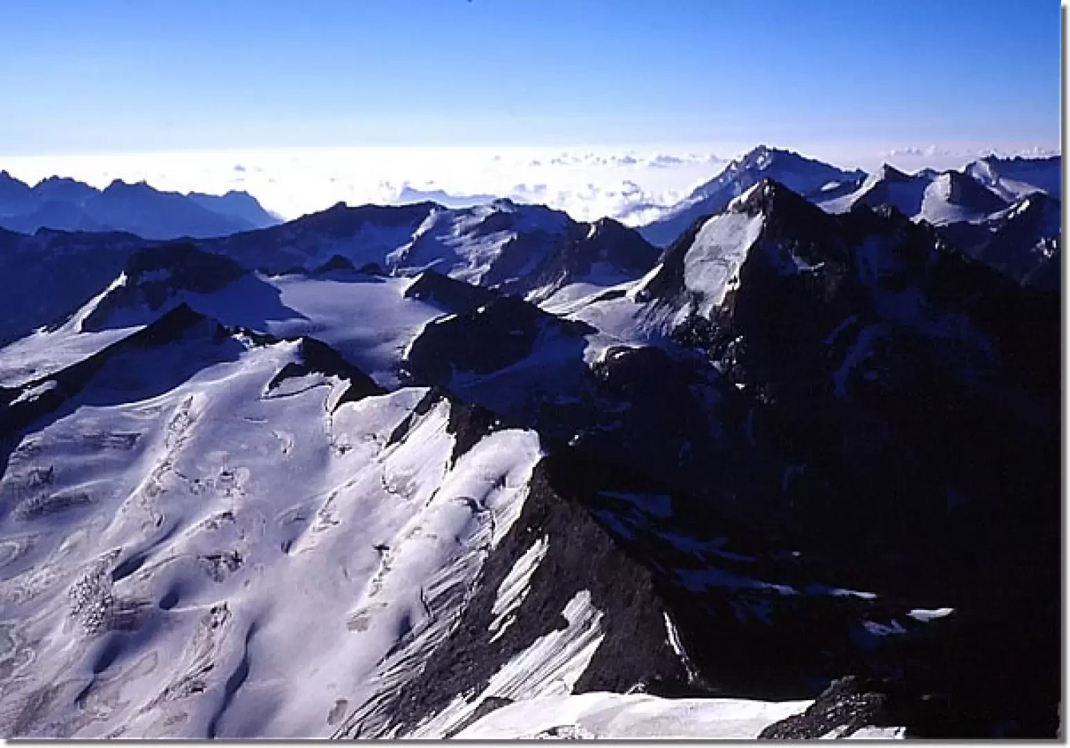
The path, from the Saut car park, is perpendicular to the road, after a field fenced off for the cows, and climbs steeply in the meadow leading to the south-west ridge of the Grande Sassière; after an initial jump, still on a path with cairns, the ridge flattens out and you follow it in its entirety until you reach a large depression at an altitude of 3100, where you can, if you wish, bivvy. The following day, the upper part of the crest is followed, sometimes using the hands on the small rocks, but always on a well-marked path until it joins the true west ridge of the mountain; one keeps to the right side of the glacier, depending on the conditions on snow or debris, in the latter case there is a trail because of the numerous passages. In the last section, the ridge steepens and the path becomes steeper and steeper up to the summit (in icy snow this last section can be rather problematic). Magnificent panorama.
Descent via the same route.
General Information
Signposts:
Type of route: a/r
Recommended period: June, July, August, September
Objective hazard:
Exposure to sunlight:West
Equipment: ramps, ice axe, rope
Photo gallery
Comments (0)
Sign in to leave a comment