Garzonera and Ravina

Edited by:
UpTheHill
Introduction
Description
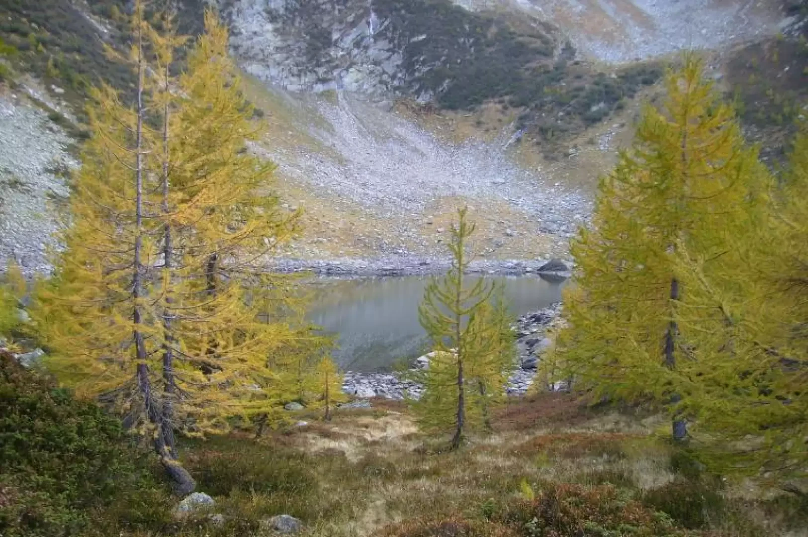
After parking in Piotta (1066m) we climbed up along path T2 to Giof (1386m), which can also be reached via the asphalted road. From Giof we started the actual ascent, along a forest road for about 4 km (T1), then again along path T2, which enters the forest, to the terrace where the Garzonera hut (1978m) is located. From the hut there is a splendid view over much of the Leventina valley, from the Gotthard massif to the mountains above Faido. After leaving the hut, we walked towards the small lake of Valletta (1995m), continuing on to the small lake of Prato (2065m), to arrive at the small lake of Ravina (1900m). This part of the route is on path T2, but required attention in places as the path was narrow and the ground icy. The path skirts the mountains that separate the Leventina valley from the Vallemaggia up to Ravina. From the small Ravina lake, we descended to Alpe Ravina (1775m), the valley station of the Pescium ski lift. From here, take the forest road (T1) that leads directly to Giof, and back to Piotta. From the little Prato lake, you can climb directly to the Sassello pass (about 2500m) to descend into Vallemaggia, at the end of the Sambuco lake (Fusio). From the Garzonera refuge, you can easily reach the Tremorgio hut and the Leit. Beautiful day, temperature a little glacial but easy to bear. The three small lakes are delightful. The hut is unmanned, you have to ask the lady who runs it for the key. It has a gas cooker and a cheap wood cooker, 20 beds, and a dining room, all in one room.
.Galleria fotografica


