Galehorn


Edited by:
Franco Rossi
Updated at: 18/02/2025
Access
By car, after Domodossola, drive up towards the Simplon Pass; a few kilometres before the pass, park your car in the square immediately after the hotel in Engiloch.
Introduction
The classic excursion in the area is to the Boshorn (3267m), but the altitude difference begins to be noticeable and one can as an alternative retreat to this peak, covering much of the same route. In addition to the beautiful waterfalls on the route, interesting observations can be made of the two lakes of the Sirmoltensee, of which the eastern one practically disappeared during the flood of September 1993, due to erosion of the frontal moraine and consequent rapid emptying.
Description
You descend on foot on the tarmac road below the parking area, reaching the Chlusmatte cottages.
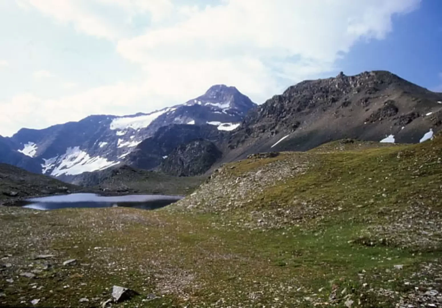
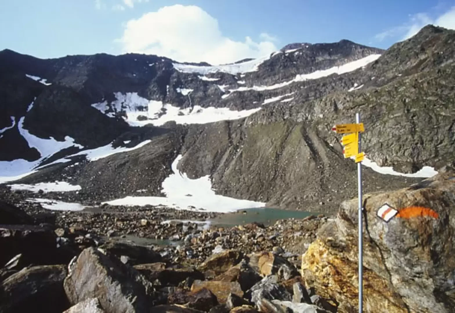
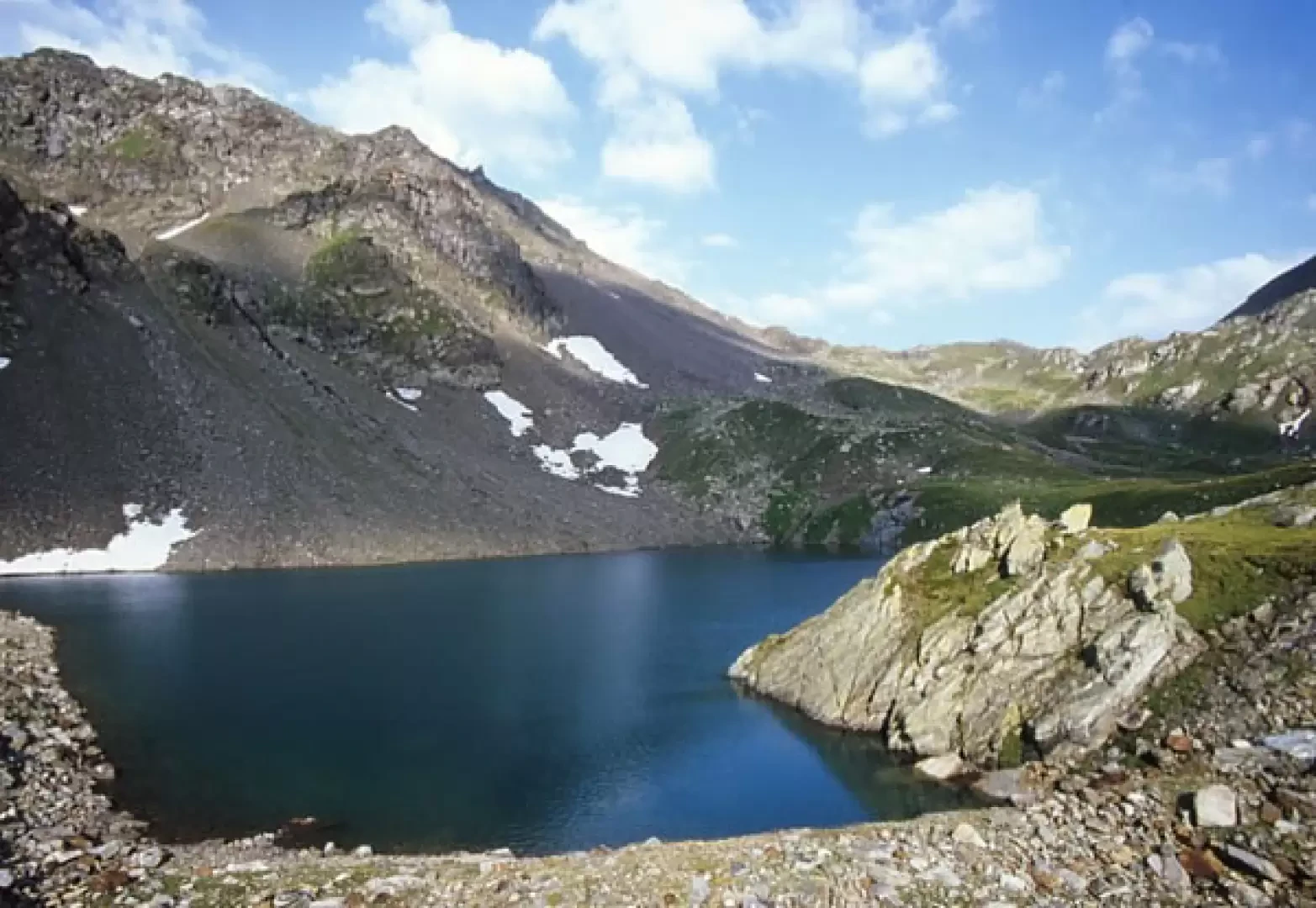
The path at the back of the village skirts the meadow at the foot of the slope and then ascends into the valley. You reach the WysseBode plateau in view of the beautiful waterfall, where the ravages of the 1993 flood are visible, with the ravaged stream furrow. Climb up to the left of the waterfall and on the shoulder above, leave the main path, which goes to the right and climbs directly up the scree slopes to the remains of the eastern Sirmoltensee lake. The landscape is impressive: only a modest puddle now remains of the large lake and the erosion channel is visible, which has completely emptied the original lake. A path to the right leads to the western lake, which was originally slightly smaller than the lake that has now disappeared. Pointing directly ahead, you reach the Sirmoltesattel pass, which is preceded by several small lakes.
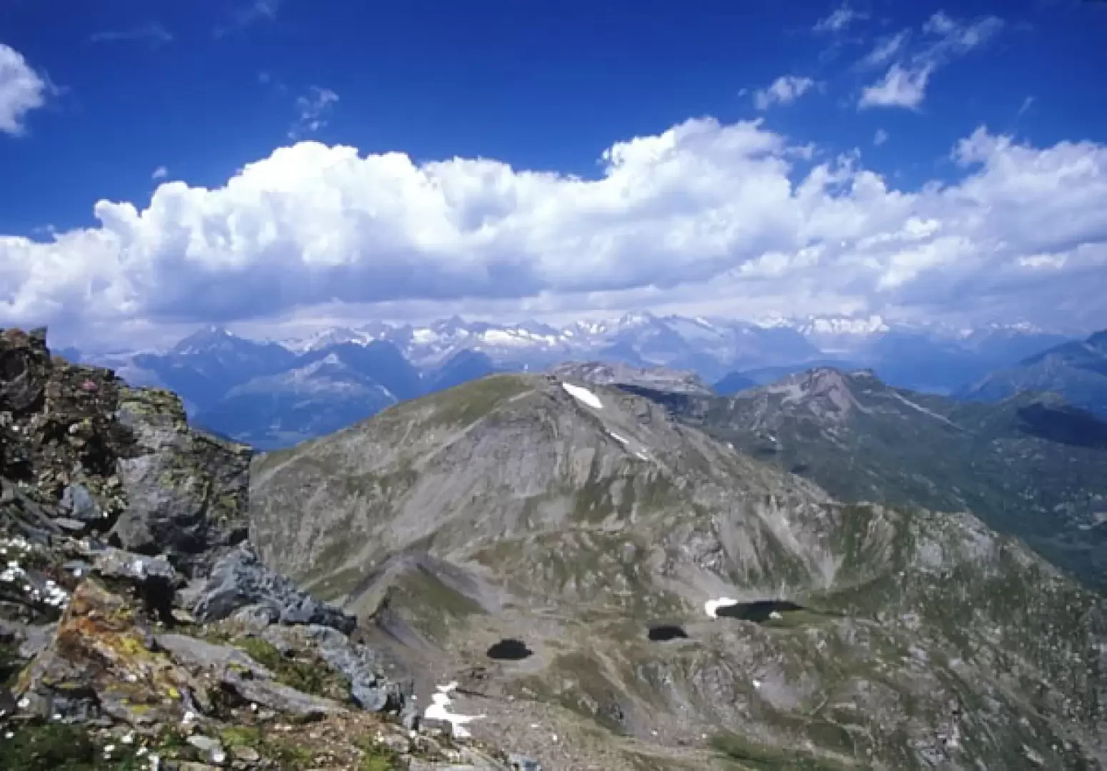
From the pass, ascend to the right to reach the scree rib, which you follow until you reach the flat summit of the Galehorn.
Riferimenti Bibliografici
- Alpi Lepontine, Guida dei monti d'Italia - Renato Armelloni - CAI e TCI, Milano, 1986
- Sempione - G. Francioni - Grossi editore, Domodossola
- Domodossola e Val Formazza, Foglio 11, scala 1:50.000 - - Istituto Geografico Centrale
Photo gallery
Comments (0)
Sign in to leave a comment