From the Acquasanta station in Voltri, along the Sentiero Liguria


Edited by:
Maurizio Loconti
Updated at: 03/11/2025
Access
The best way is by train (being in the municipality you can use the integrated bus/train ticket). By car it is possible, however, bearing in mind that the border between Genoa and Mele runs along the stream and therefore, to get to the village of Acquasanta you have to pass outside the municipality at some points! The carriageway zigzags to the right and left of the stream (so in 'orange' periods it is forbidden). Alternatively, but you must have two vehicles (one of which must be left by the sea) and the car must take, from Prà, via Branega to the top.
Introduction
Simple crossing that is made a little difficult by the rarefied signposts of the Sentiero Liguria.
Description
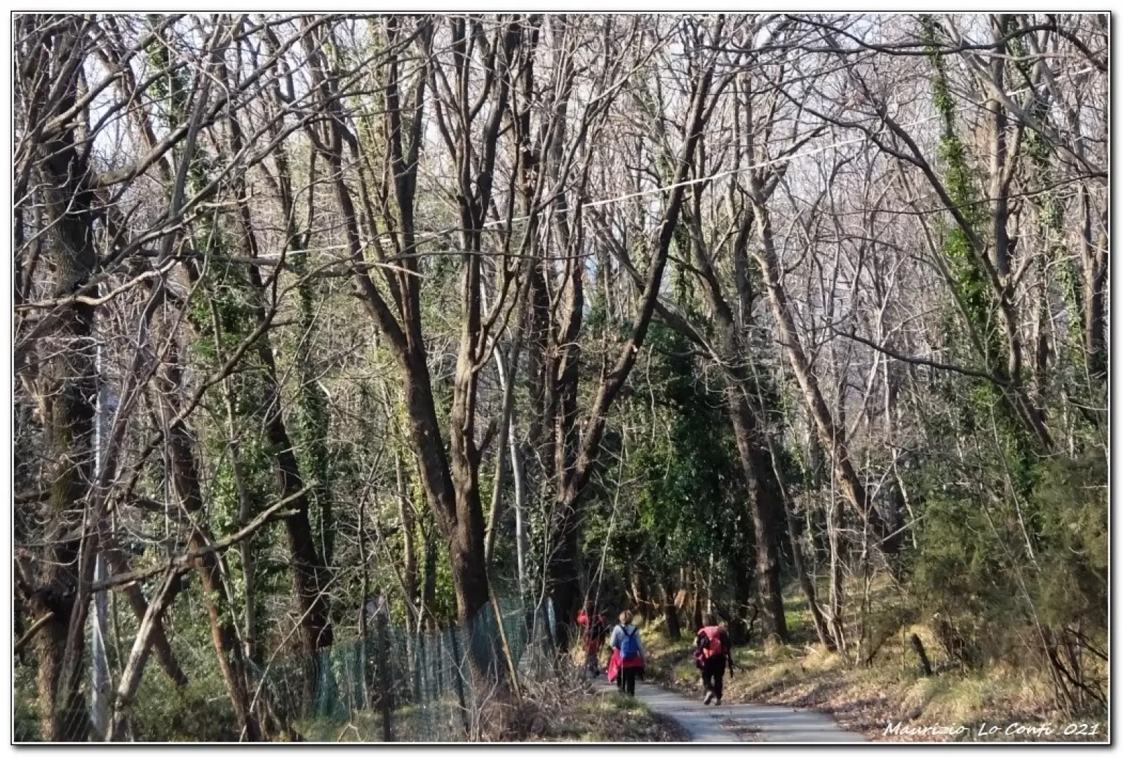
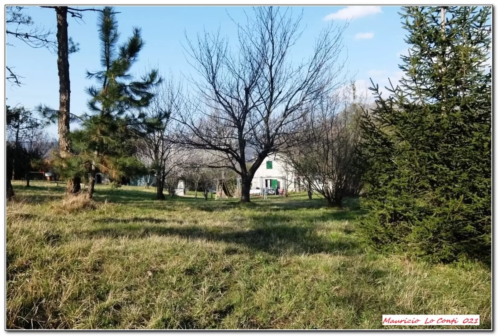
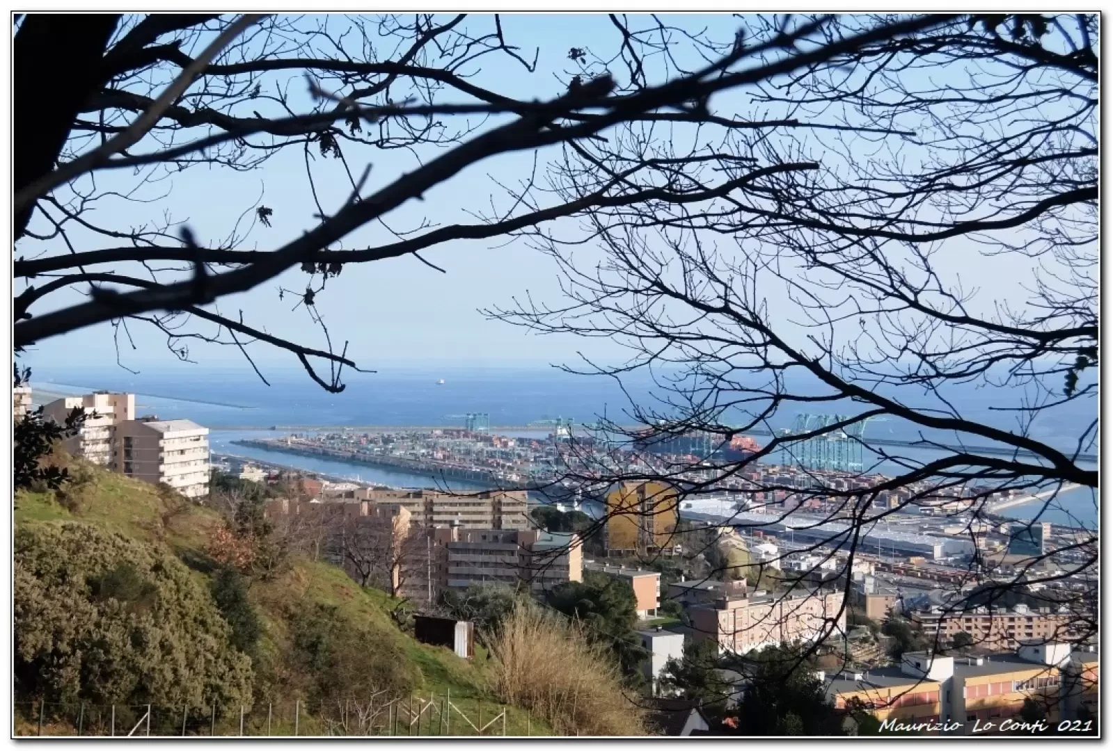
From the station, we climb up the asphalt road with several hairpin bends to the Pra pass. From the pass there is a junction with several possibilities: you turn right and the branch-off runs in a south-westerly direction. You cross the plains of Prà (vast meadows) and, turning back, the unmistakable silhouette of Punta Martin is evident. One continues, still on the main road, turning into a road coming from the right (go left). You pass a few houses, dropping down to a fork, where you ignore the left branch for a dirt road to the right. Shortly after, you turn, sharply, to the right (northwards) between dense trees. At a further crossroads, follow the signs for Sentiero Liguria. Further on, they get lost, but a couple of arrows for Voltri... help. The signs reappear, directing under the motorway overpass. The creuza descends towards Via Buffa, which they pass. Now among the houses of Voltri, one chooses via Lemerle, arriving on the main road. On the left is the railway stop where the stage ends.
In short: Diff. T/E - height difference +100 m - 300 m - 7 km - about 2h30 total + stops - time: good . Route comfort: very good. Best period: from autumn to spring, avoiding the cooler days. Tour interest: average.
If you wish, here is the pdf file of the excursion, with some other news:
http://www.cralgalliera.altervista.org/SentieroLiguriaStazioneAcquasantaVoltri.pdf
NB: in case of excursion, always check with FIE, Cai, eventual Park Authority or other Institutions, pro loco, etc., that there have not been variations that have increased the difficulties! No liability is accepted. The present text is purely indicative and not exhaustive.
Info Hiking Section Cral Galliera: http://www.cralgalliera.altervista.org/esc.htm
Photo gallery

Comments (0)
Sign in to leave a comment