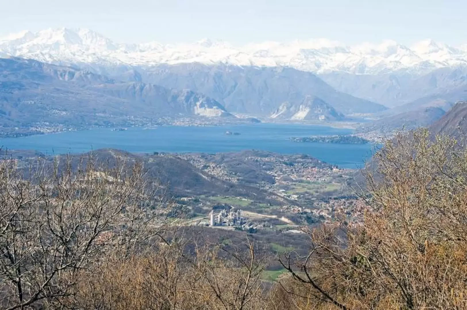
Campo dei Fiori, from Comerio
Introduction
Splendid itinerary within the Campo dei Fiori Regional Park.
.Description
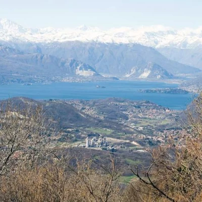
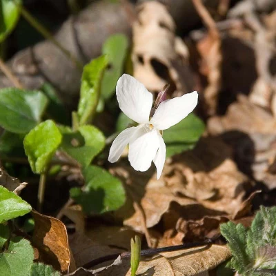
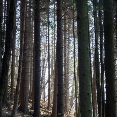
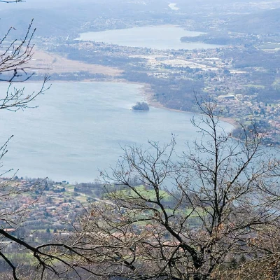
From Comerio station, go through the subway and exit straight ahead to the left. Go up the stairs and at the top, turn right. You enter the village, passing in front of the church. Then turn right onto via Garibaldi. Cross the main road (signpost) and go up via Mattello. After the crossroads with via Monte Rosa, follow the track to the left; at the next two crossroads, follow the track to the right, arriving at a cart track. Here, turn left. This is the start of a beautiful stretch among chestnut and hazelnut trees and, above all, flowers, violets, periwinkles, dandelions, primroses and others all along the ascent. Following the good indications of the path for forte di Orino, climb up the entire slope, passing first the Remeron cave and then, after a flat stretch halfway up, the Scondurava cave halfway up the last steep climb. At the height of the second cave, the landscape changes completely, from mixed woodland to a fir forest, a clear sign of reforestation carried out many years ago. We thus leave the military cart track and go left to shortly reach the Fortress of Orino; we recommend the short diversions to the right, recently marked, which leads right to the ridge. The panorama over the Varese and Lago Maggiore lakes is spectacular, but even more so over the entire Alpine arc from Monviso to Disgrazia! Shortly before the fort we finally find the sign indicating path number , which we will follow, without any major problems by crossing the woods again, downhill to Gavirate, taking care when entering the woods because the markers are rare. Once in Gavirate, descend to Via Corridoni and then turn left for the station.
External links
- http://www.parcocampodeifiori.it
