Conca di Pila


Edited by:
Giancarlo Beretta
Updated at: 16/09/2024
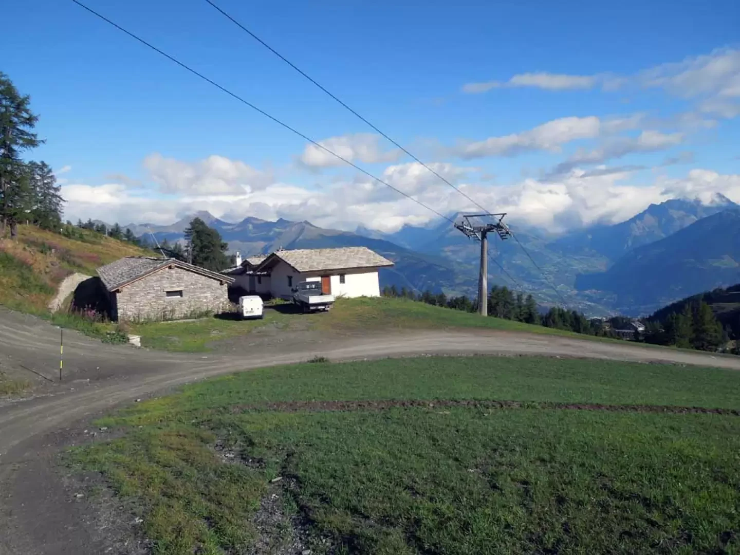
Access
You drive along the A-5 Turin-Aosta motorway and exit at the Aosta East tollgate, following the signs for the Pila ski resort; when you reach it, take the subway beyond the car park at the entrance to the upper car park where you can ski your car.
Introduction
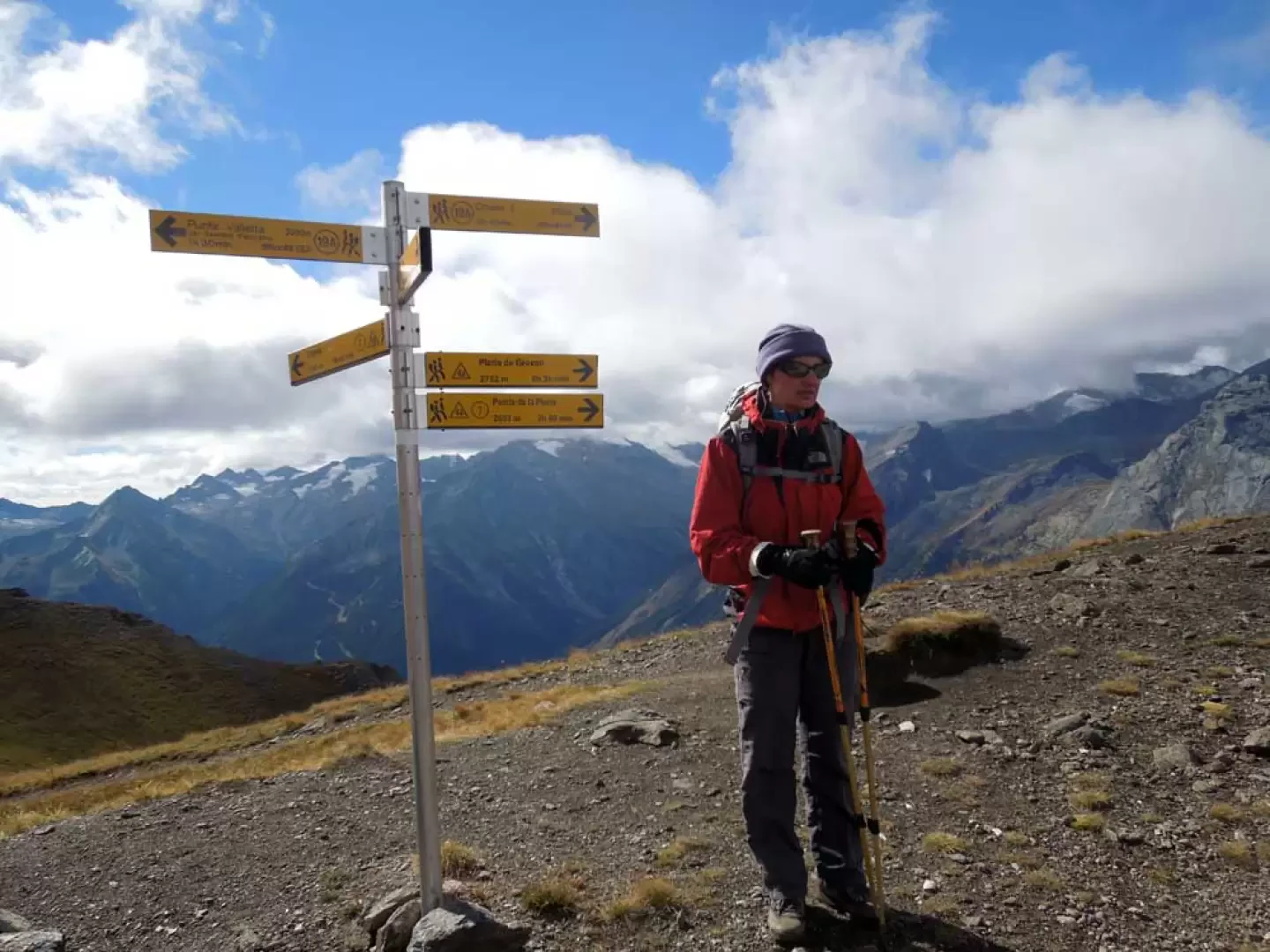
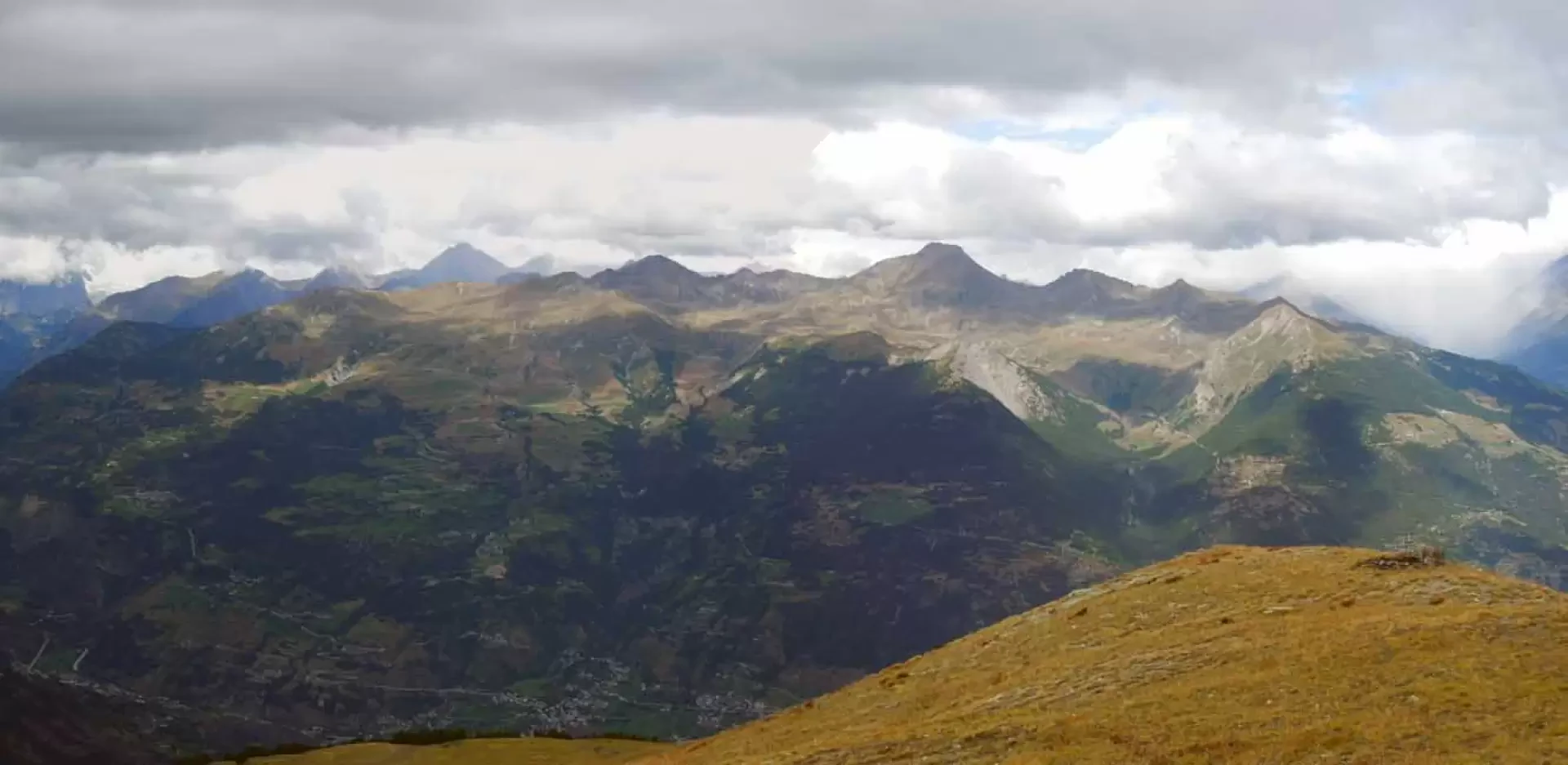
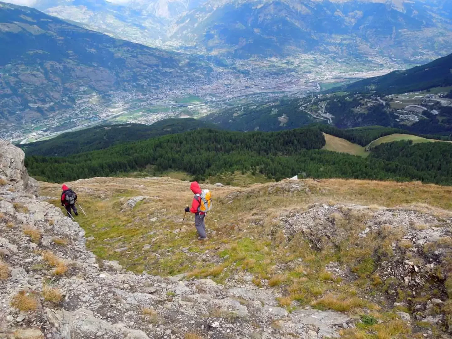
This circular excursion is one of the most classic and panoramically beautiful in the central valley; it follows the excursion part of the ridge that surrounds Pila, touching in sequence the peaks of Tsa Setze, Monpers, Piatta de Grevon, Couis, Drinc and de la Pierre, excluding only Punta Valletta, which has more challenging stretches. The route does not present any difficulty except for a few short, slightly exposed but well-protected sections, and is always well signposted and evident, with the exception of the lower part, where the maze of service roads of the installations can create some confusion due to the poor signposting. As we have said, the panorama that accompanies us on the long traverse is of the first order over the entire Alpine chain, the nearby Grivola and the Gran Paradiso massif; the view of the basin of Aosta with the peaks that surround it is also very impressive.
Description
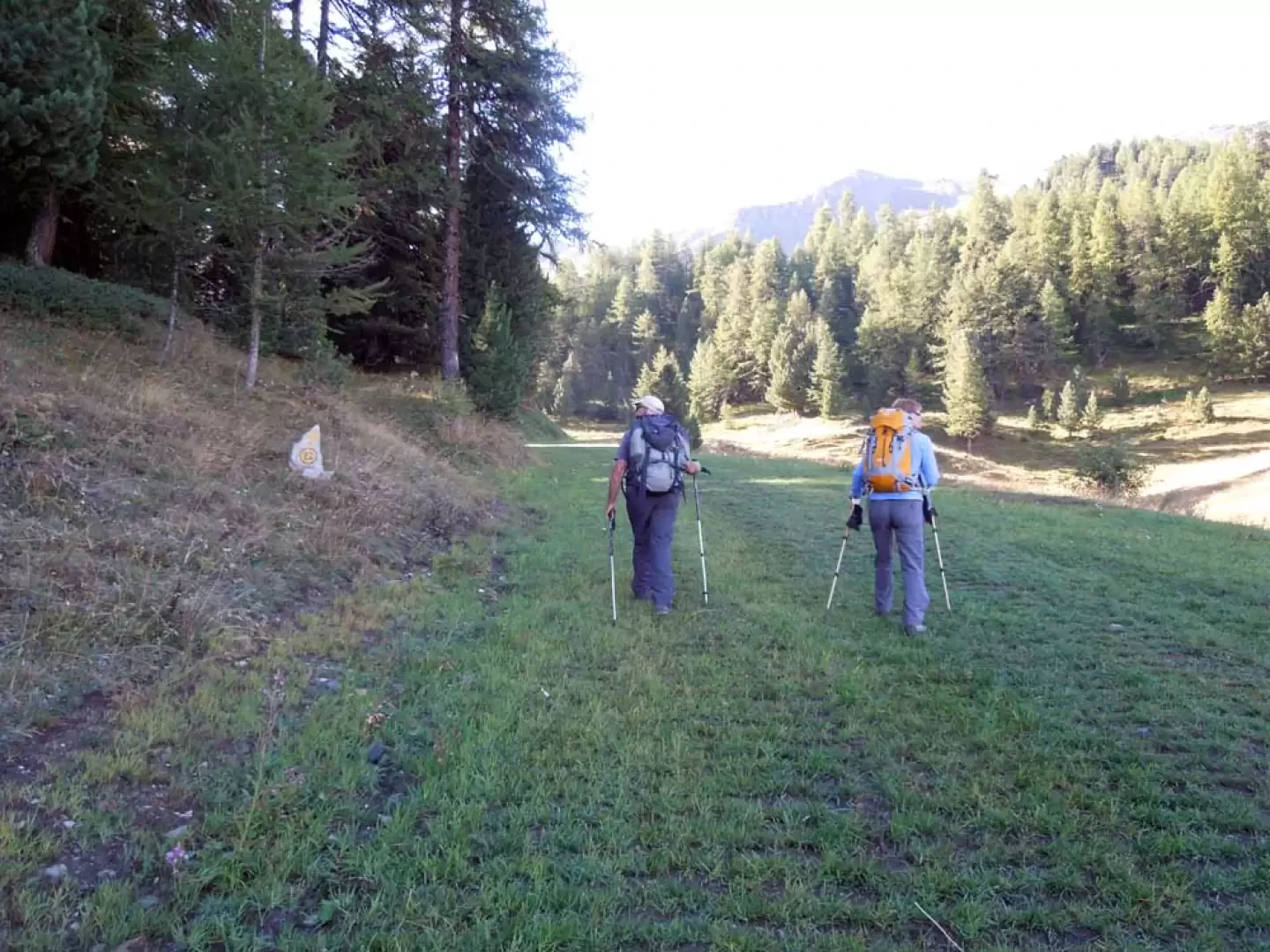
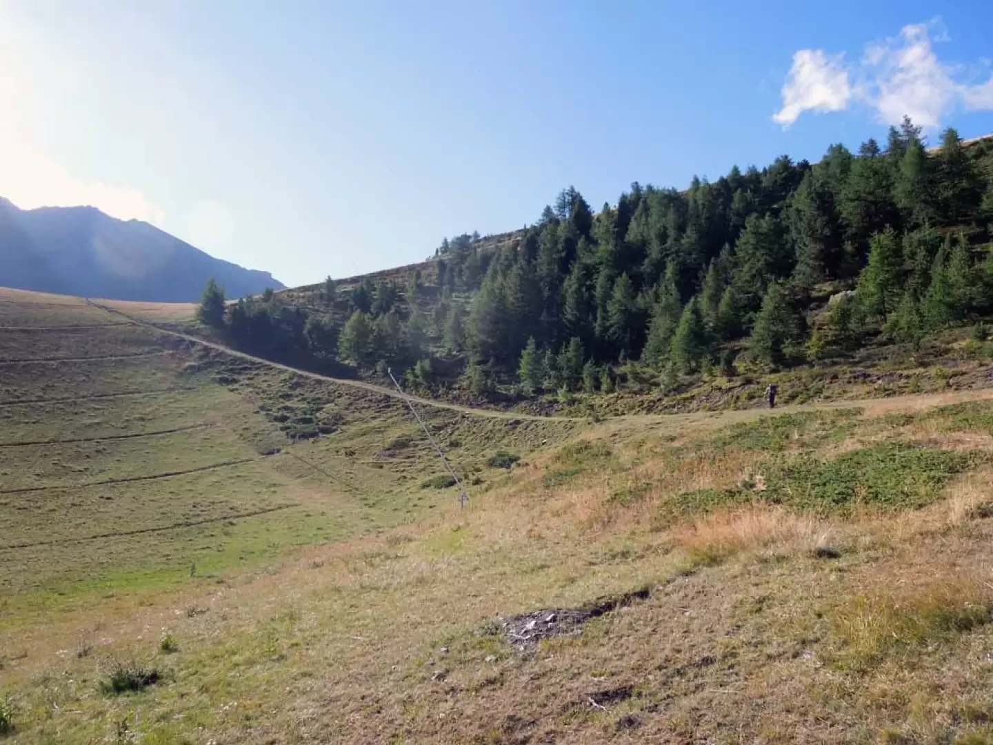
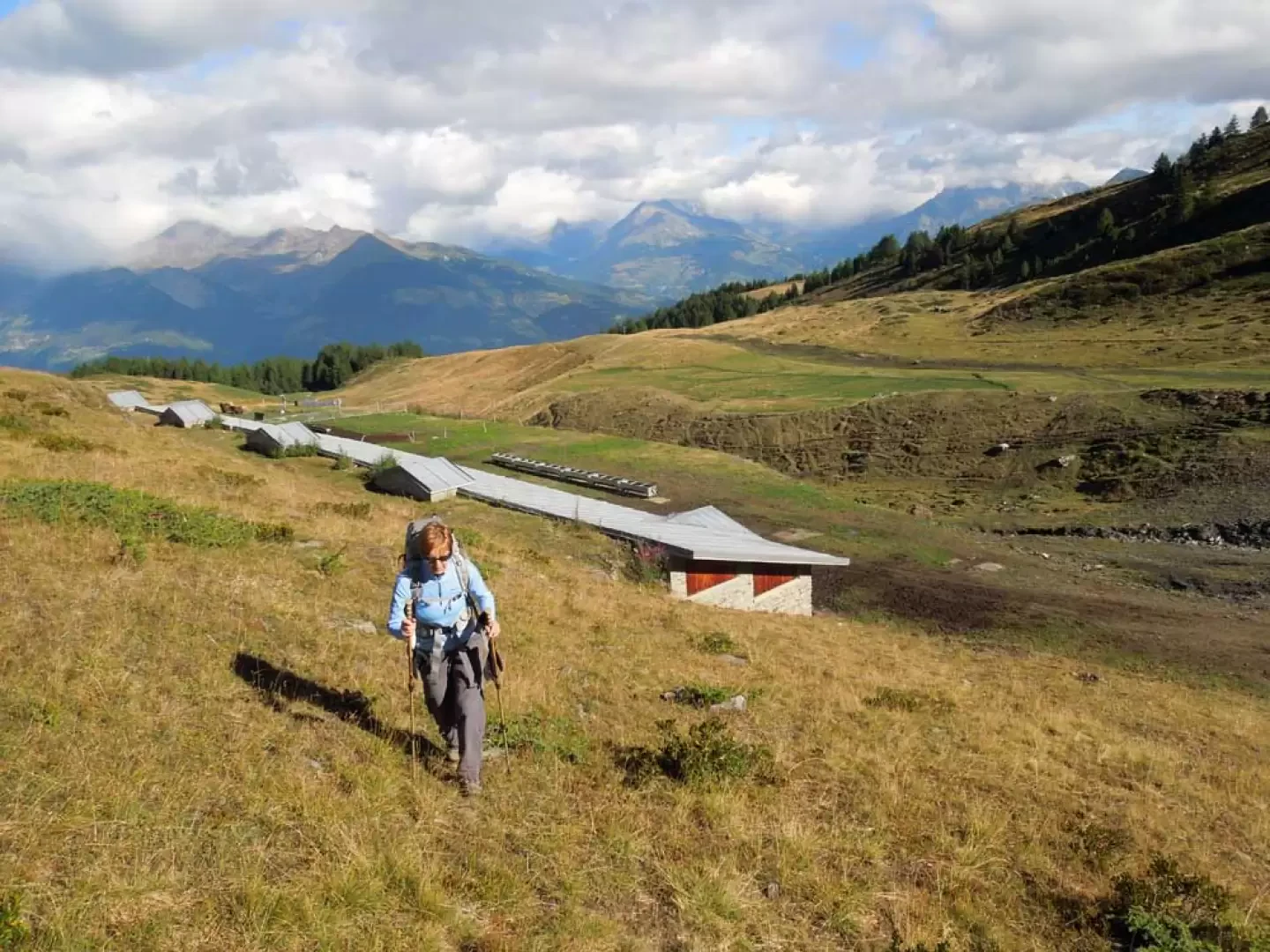
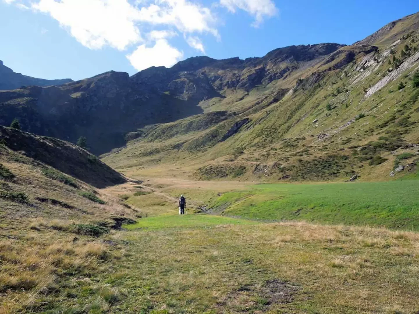
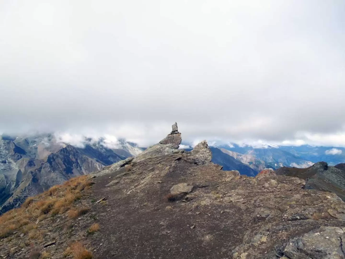
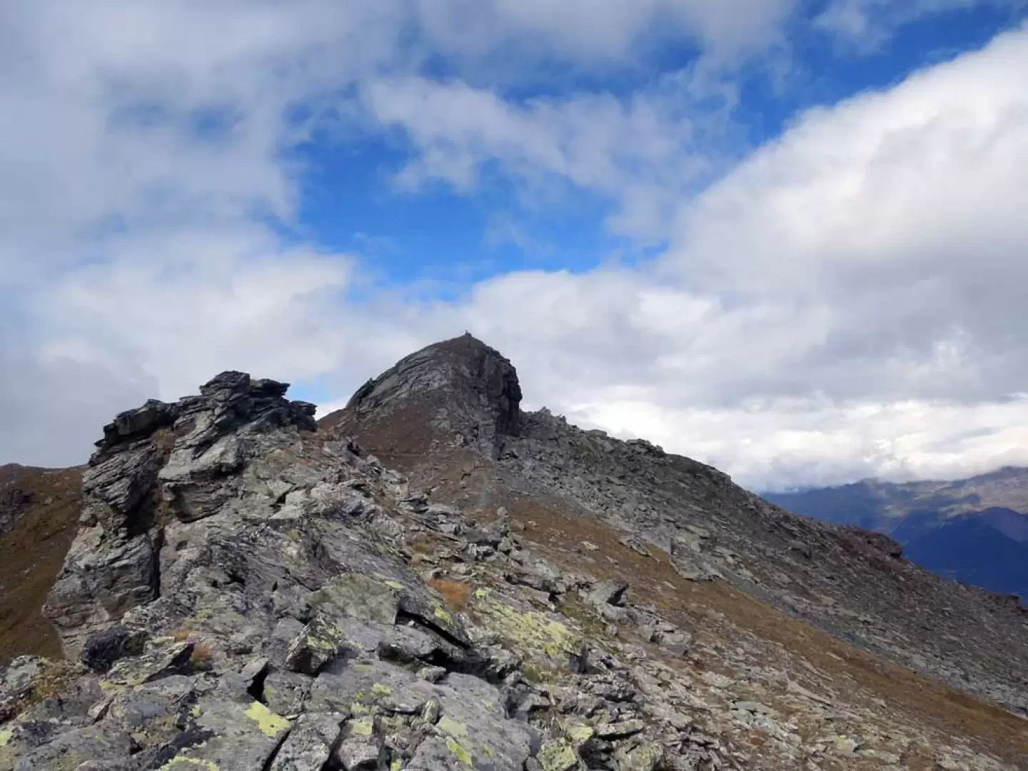
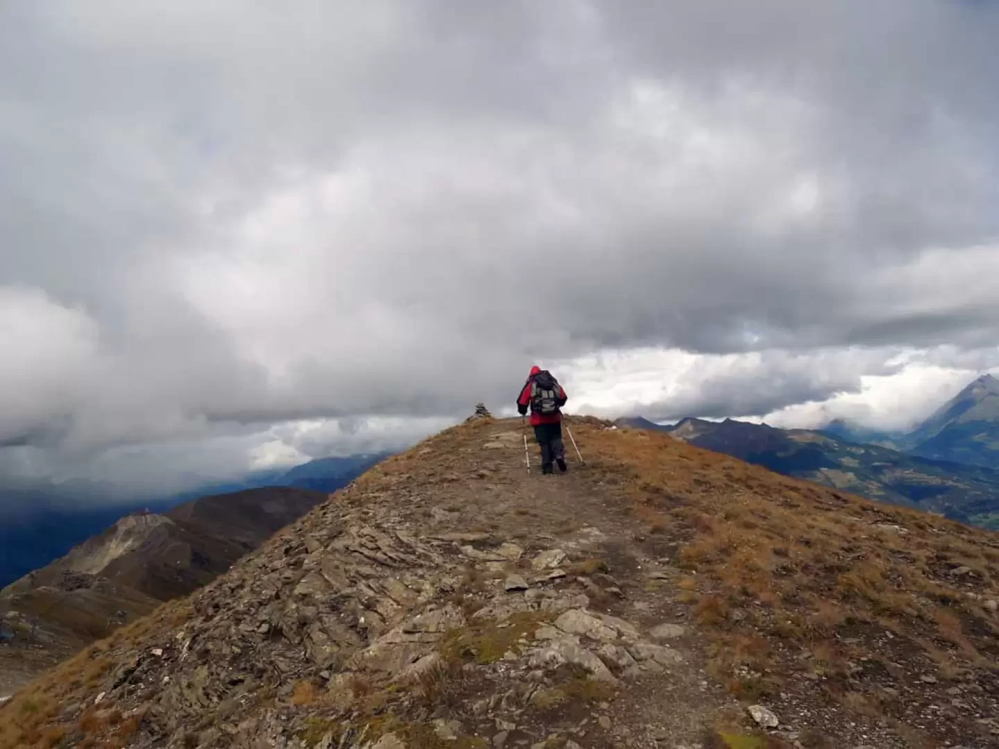
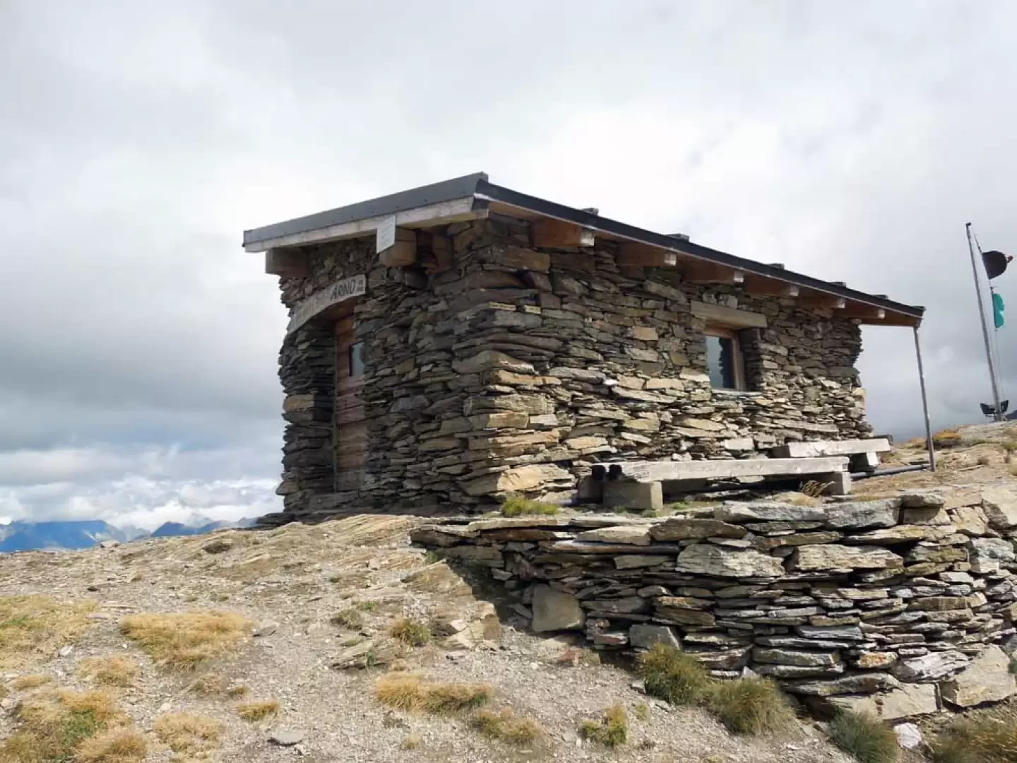
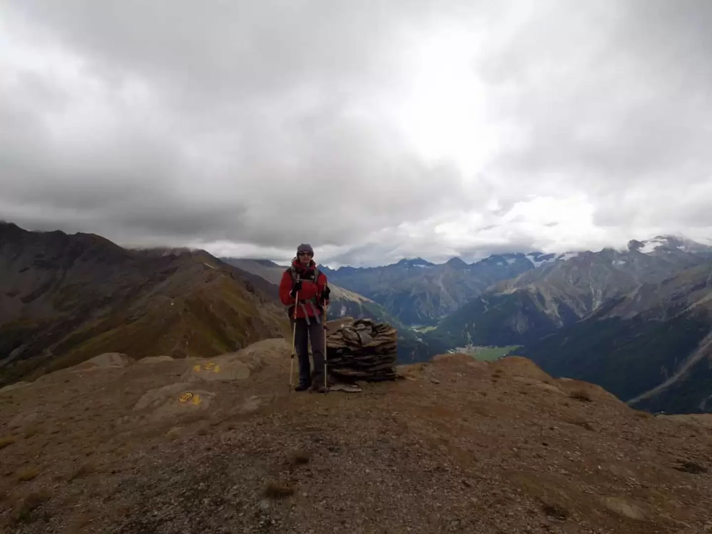
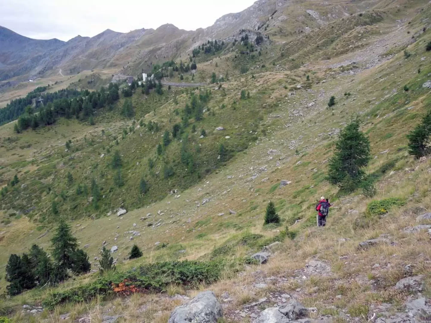
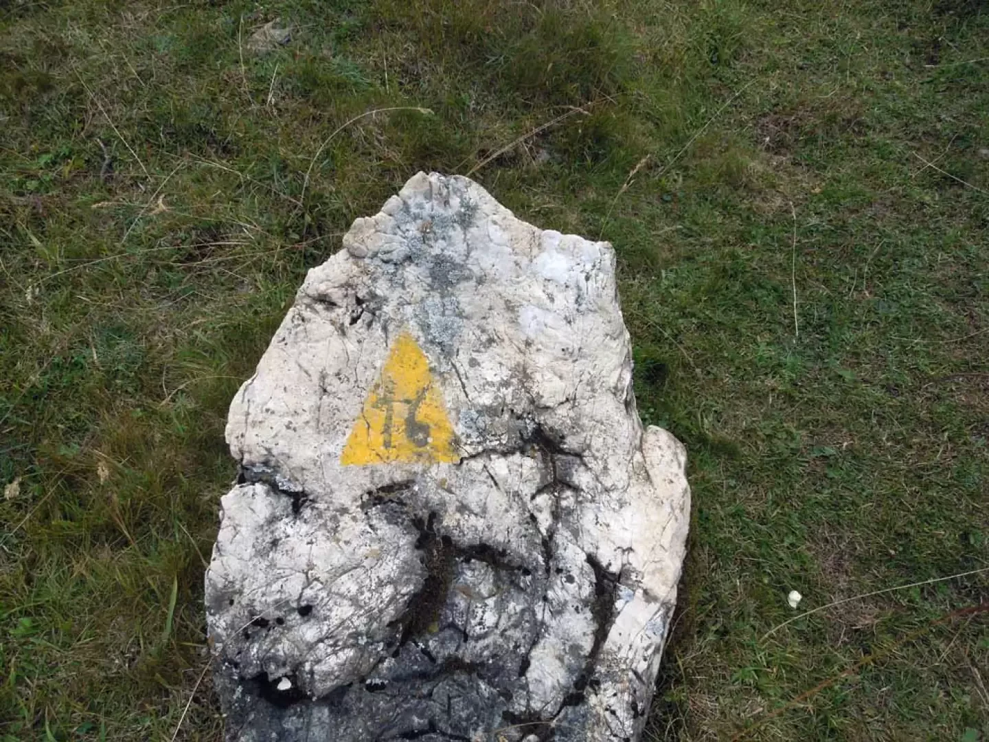
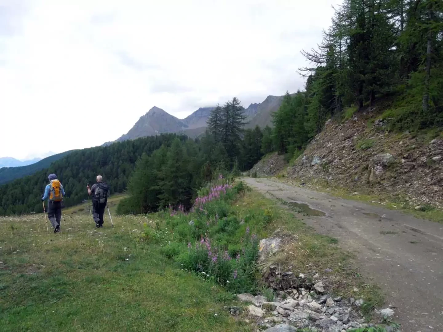
From the forecourt, go past the chairlift station and at the bottom take a small road which climbs up to the left of a hotel where you will immediately come to a crossroads with a few posts at which you keep to the left and, after a few dozen metres, turn left again at the next and nearby crossroads. You will arrive above a ski slope and continue on the dirt track which, continuing to the right, comes to a junction with another farm track (2010 m) at which you continue straight ahead to pass by the Champ Vert mountain pasture (2080 m); Continuing along the road and arriving at an altitude of about 2118 m, turn left to go up a ski slope which you follow until you come to a track that enters the little wood on the left, or follow it to its end where, bending to the left, you come to a small isolated building. From here, continuing on the dirt track, go up the side of a wide ski slope, at the top of which you reach a wide crevice from which, losing a little altitude and staying to the right, you head towards a mountain pasture clearly visible on the meadows in front of you; when you reach Plan de l'Eyvie 2268 m), cut across, without a path, above it so as not to descend further and continue along the stream to climb up a grassy valley. Afterwards, with a short climb, one ascends a low grassy ridge on the left that one then follows along its edge and, having reached its end, crosses a path coming from the left that one begins to follow uphill (approx. 2470 m). On grass and stone terrain, with a few twists and turns, we climb the long slope above which, increasing noticeably in gradient in the final stretch, takes us to the panoramic Colle di Tsa Setze (2830 m); from here we turn right and begin to walk along the short ridge that takes us to the nearby Punta di Tsa Setze (2836 m), the highest point of the excursion. From the little point, descend and pass a few rocky outcrops on the right, reaching a pass (2761 m) from which you continue along the ridge, remaining for a rocky stretch on the right, towards the Punta di Monpers, which you do not reach but contour to the left, passing a small grassy shoulder (2791 m). Now the path continues, cutting slightly downhill across the grassy slope to reach the ridge again and, remaining on the left of the line, cross a short stretch that is a little exposed but well protected by some metal cables. When you come to a pass (2723 m), start climbing again to reach the cairn on the summit of the Piatta de Grevon (2766 m), which you pass, descending along the path that skirts a ski lift and reaches the arrival point of the chairlift; Go round the lift on the left and ignore the road that descends to the right, then continue along the ridge again towards a metal cross that you leave on the left to walk temporarily to the right of the line and then return to it and, after a col, climb up to Punta Couis where you will find the small masonry construction of the Arno bivouac (2669 m). From here, continue along the ridge, which has a few small points to be overcome without difficulty, to reach the Col du Drinc (2569 m) where, ignoring the path that descends to the left, you continue climbing until you reach the peak of the same name topped by some repeaters (2672 m); Now, tackling the last part of the tour, you descend to the wide crest of the Col de la Pierre (2591 m) and then reach an antecedent from which the last almost flat section starts, leading to the summit of the Pointe de la Pierre (2663 m). For the descent, you can return to Col de la Pierre and from here turn left to reach the lifts below and from here Pila, or, if you want to complete a complete and slightly less monotonous loop, lose altitude from the opposite side of the climb for a few dozen metres to an altitude of 2566 m; here you will find a track that descends to the right where, as soon as you take it, you will find a stone with an old marker with the number "16". Looking down, you can see a repeater which is reached by a somewhat steep path and with the track that most of the time gets confused with the grass; from the repeater (2417 m) you move to the right and cross some small valleys to then descend to the left along a wide slope on the shaky track that further down is marked by a few cairns and an old marker. When you get to the bottom, continue on the track that, descending slightly to the right, comes to a crossroads with a service road for the ski lifts (2,302 m), which you follow downhill, ignoring another road on the right, until you come to a ski slope that you descend to the left, following the marker on a rock that is a little covered with grass (2,223 m); once you have reached the chairlift departure point below, continue to the right taking another small road which, entering the woods, moves to the right reaching the junction at an altitude of 2010 m of the outward journey and from this shortly to the car.
Photo gallery


Comments (0)
Sign in to leave a comment