Col de Frudière, from Trino


Edited by:
Ivano Ruffoni
Updated at: 15/07/2025
Access
Leaving the highway at Pont-Saint-Martin after 100 m, turn right, pass a traffic light and continue to the junction for Gressoney. Enter Pont-Saint-Martin and turn right onto Regional Road 44 for the Gressoney valley. Follow the road past Lillianes, Fontainemore, Issime and Gaby. Continue as far as Pont Trenta, and after a couple of hairpin bends, leave Scilère, Tanno (Zer-Tannô), la Blatta (Zer-Blattô) and Trino (Zer-Trino) to your left, where you park in a small clearing on the right, right in front of the sewage treatment plant of the municipalities of Gressoney-Saint-Jean and Gressoney-la-Trinité.
Introduction
The Frudiera Pass (or Frudière) separates Monte Taf from the northern peaks of the Corno Maria (Marienhorn) and Monte Nery. The ascent from the Gressoney valley compared to that from the Graines valley is certainly less easy and in a severe and harsh environment. The first part of the itinerary is on an easy track through a coniferous forest, followed by a section on steep grassy slopes and a rough path, and ends among boulders and scree.
Description
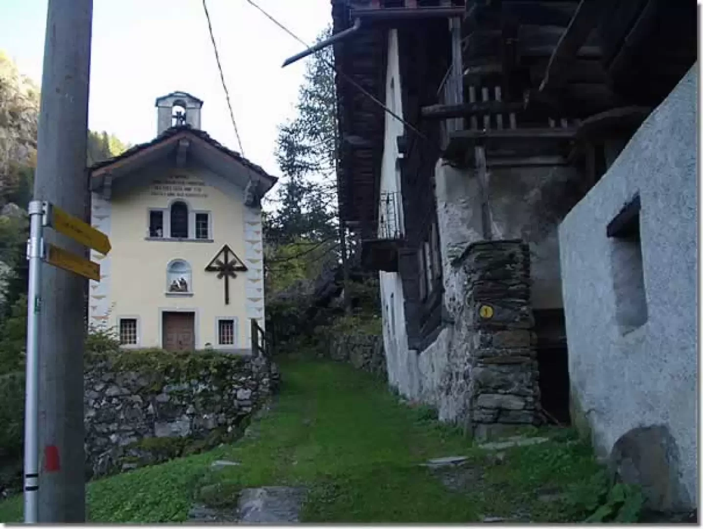
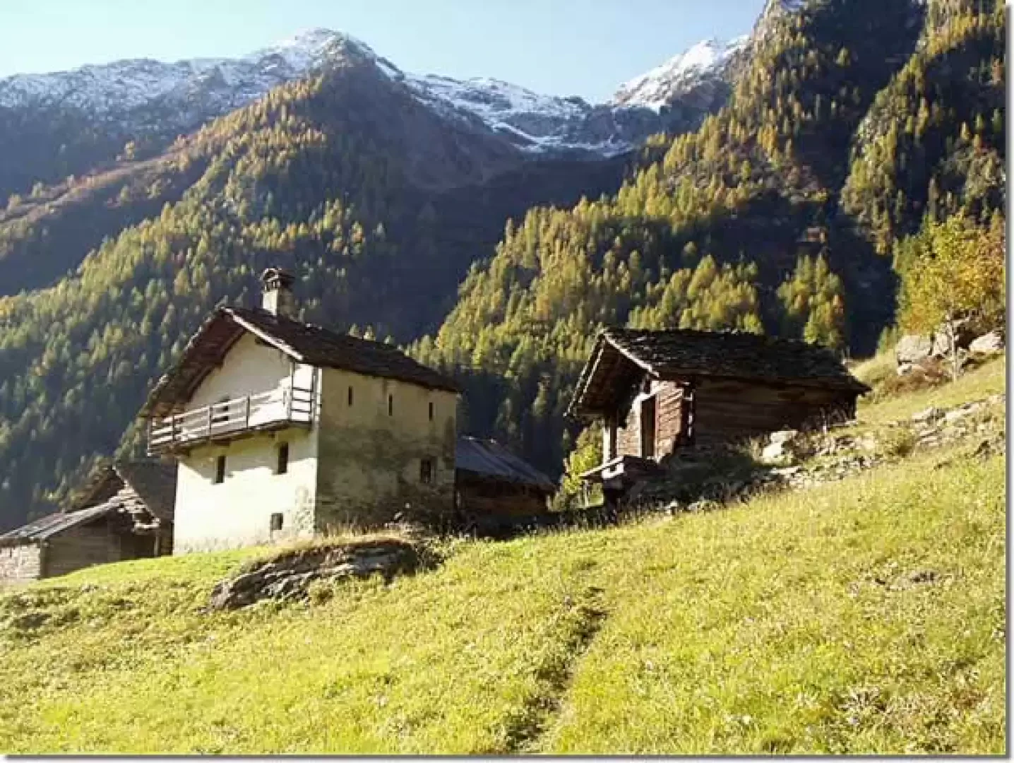
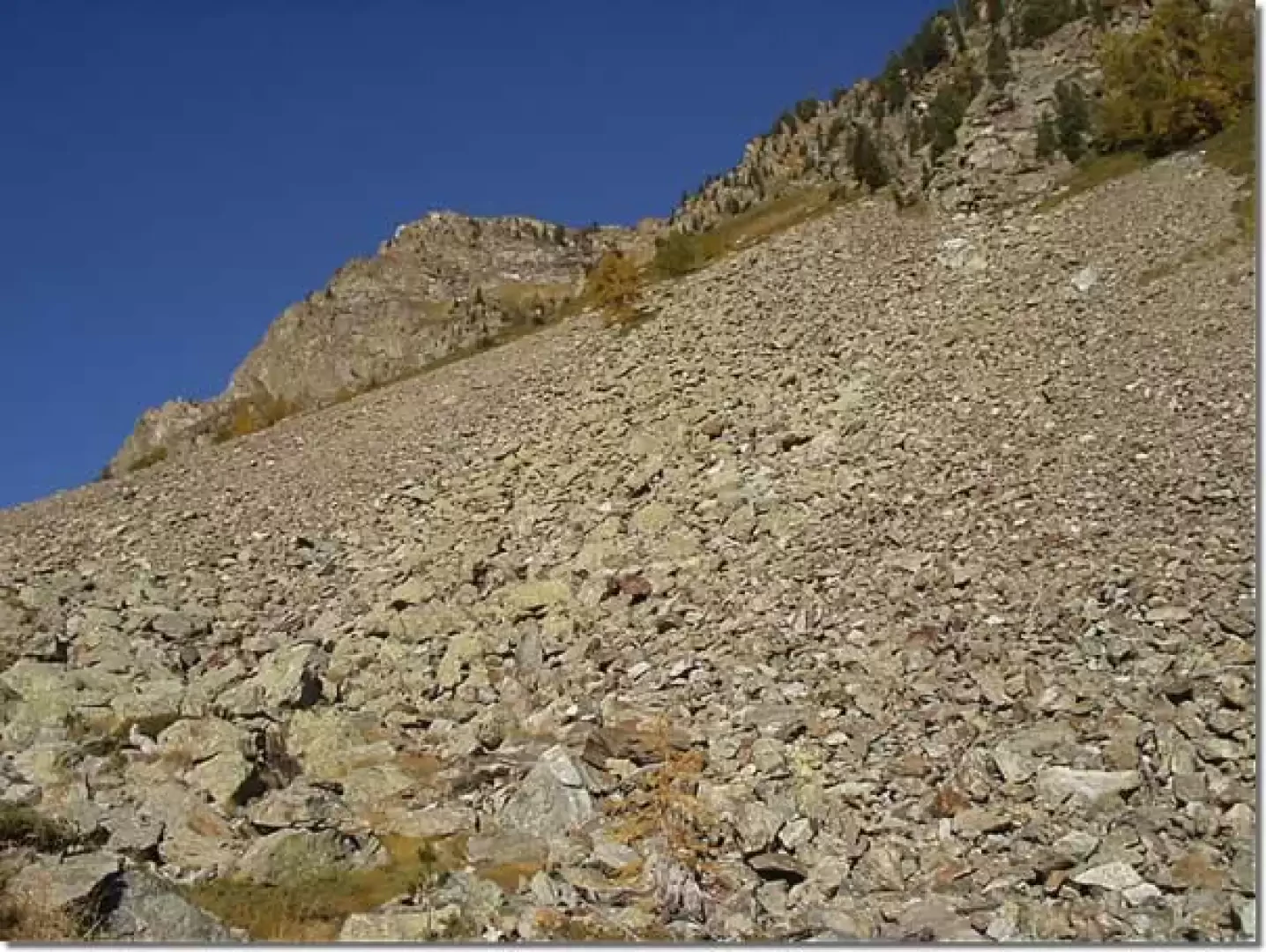
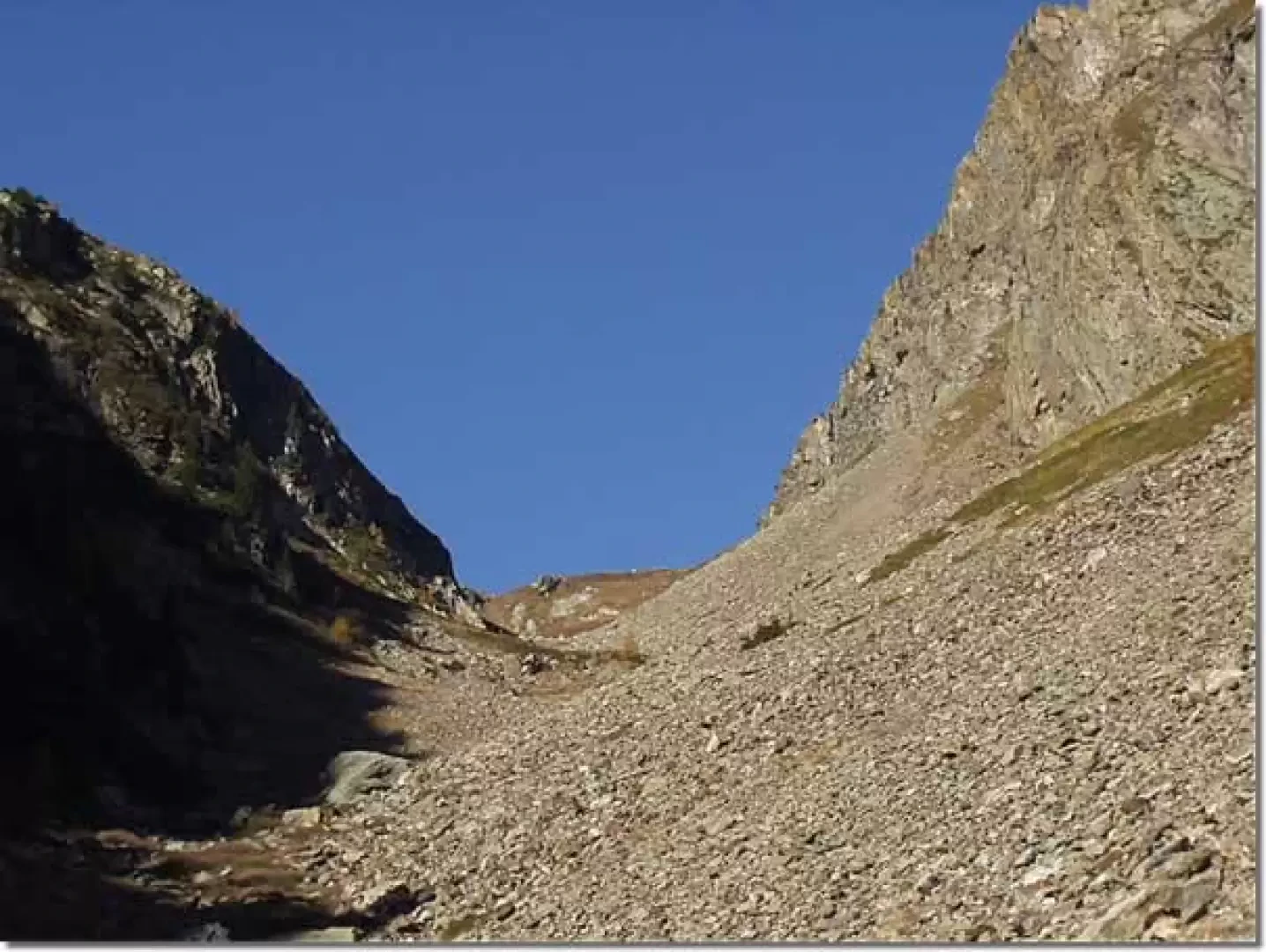
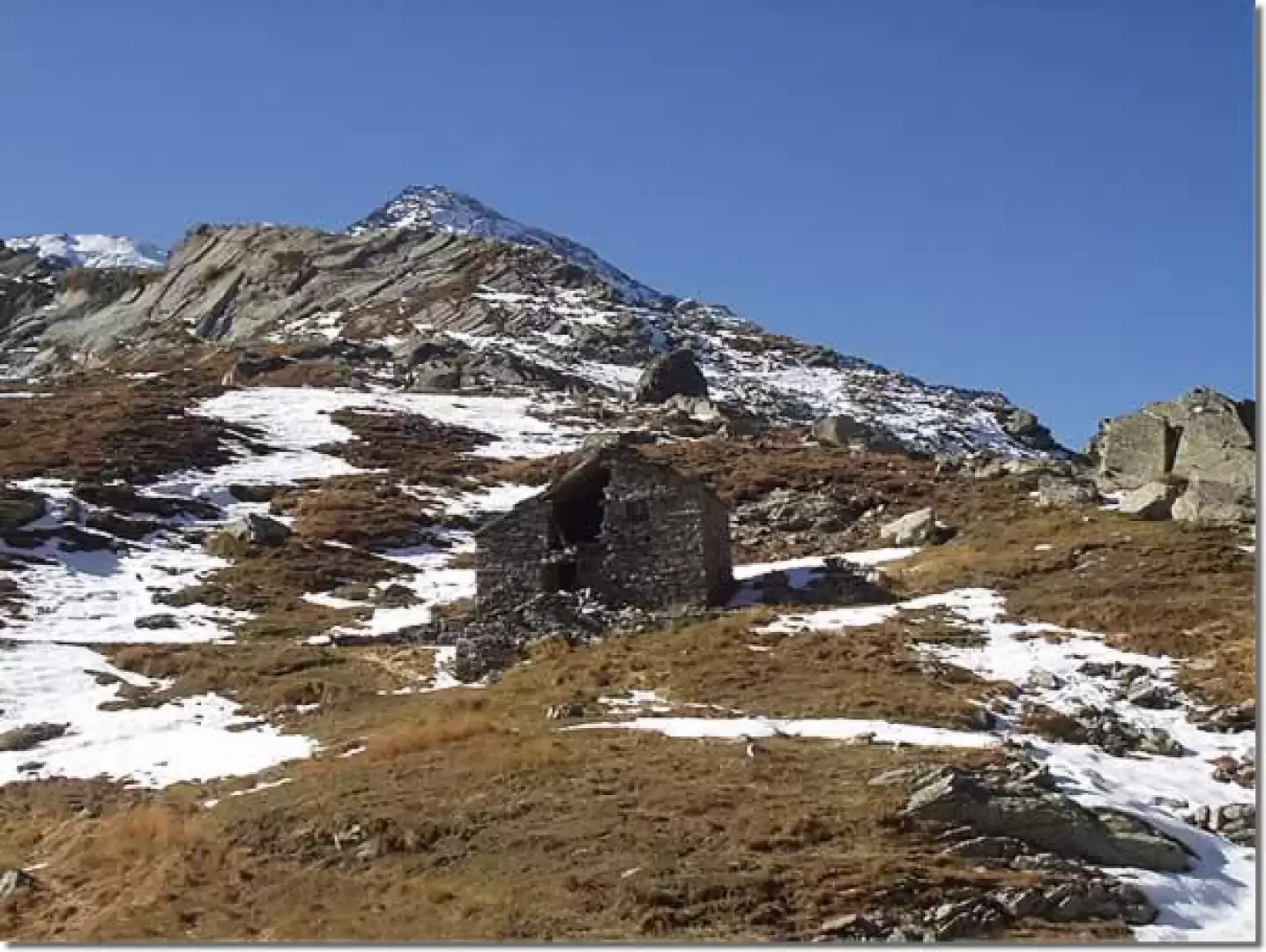
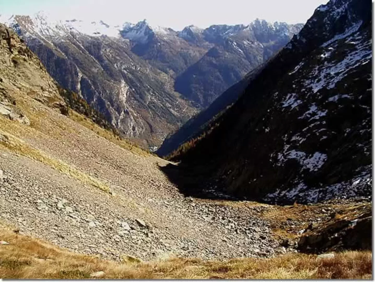
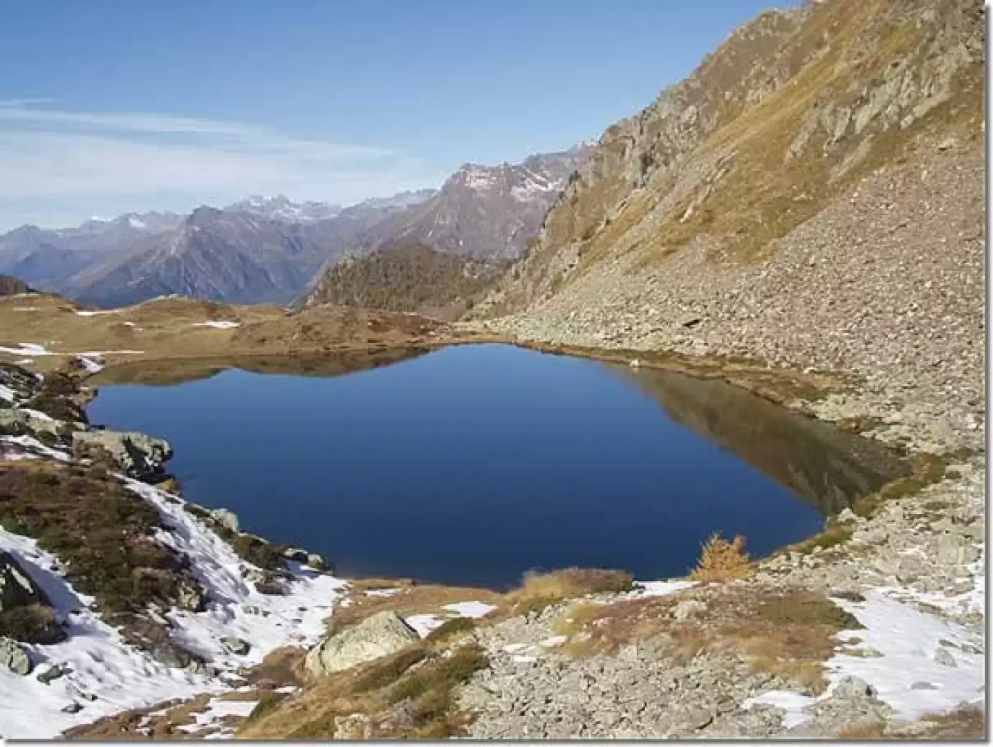
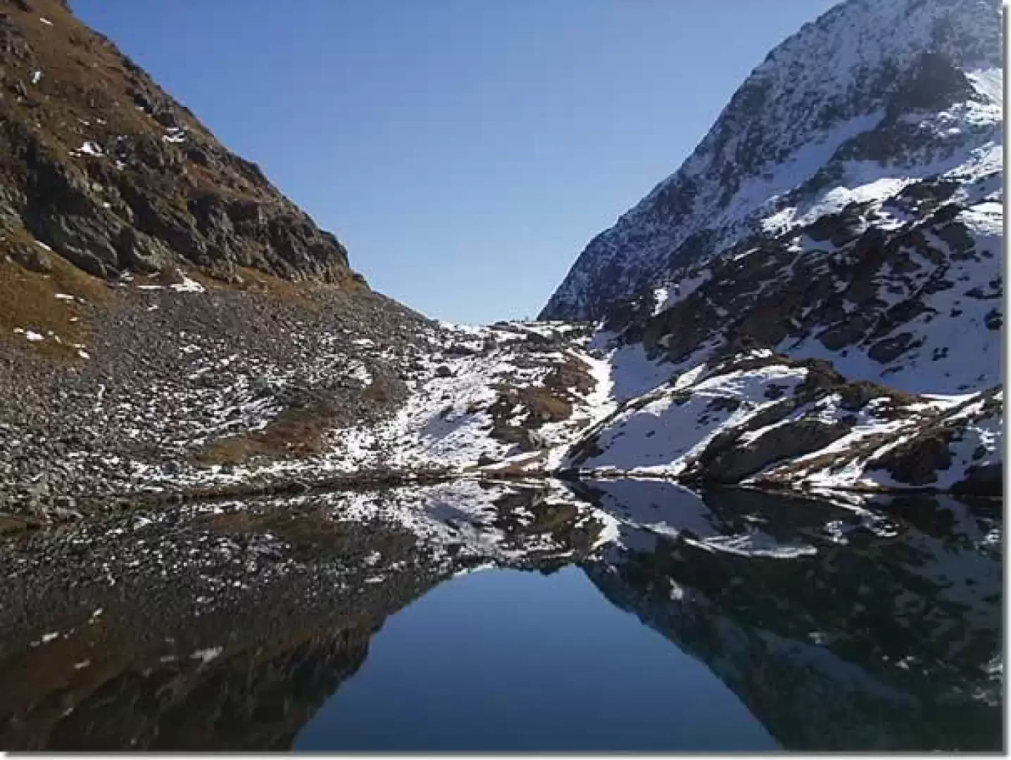
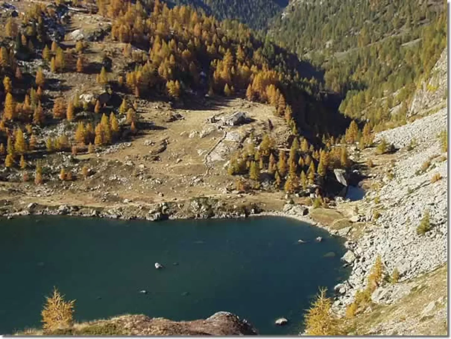
After crossing the regional road, go up to the church of Trino (Zer-Trino) (1259m), signposted, and immediately to the right take the steep path that climbs into a coniferous forest. In about ten minutes, you reach a grassy ledge, which you cross along a path bordered by slabs driven into the ground like a low wall. The mule track, which is paved in places, re-enters the forest, passes a ravine in which a metal plate with a dog in relief is positioned (the place is referred to locally as Rifugio Tovaric - probably from the Russian Товарищ, companion - and, perhaps, dedicated to the memory of a particularly beloved dog), and comes out on the grassy hump of Ronc (1441m, 0h30'). The trail now ascends a steep grassy slope to the west, passes a water intake and re-enters the forest. With an uneasy and steep path, on a narrow and very uneven track, you proceed on steep grassy slopes among sparse woods, cross some extensive landslide areas (watch out for rock falls) and reach Forca (1837m, 1h35'). You are now in sight of the Frudiera pass (or Frudière). Amongst boulders and scree (pay particular attention to the frequent discharges of stones), following a modest track, you reach the ruins of Henniciuken (Hennötschõcke) (2,000m, 2h05'). Again among the stones and with a final steep climb over grass, bypassing a couple of slippery slabs of rock, we proceed to the Frudiera pass (2271m, 2h50'). To complete the hike, it is advisable to descend, signposted and marked, to the nearby Upper Frudière Lake (2233m, 0h20' round trip) and to the modest grassy knoll to the west from which the Lower Frudière Lakes can also be seen.
The descent takes place along the same route taken during the ascent: walk along the scree valley to Forca (1837m, 1h00') and then, over grassy slopes and coniferous forests, descend to Trino (Zer-Trino) (1259m, 2h20').
General Information
Tour:Eastern Slope
Trail Signs:
Type of Route: a/r
Recommended Timeframe:July, August, September, October
Sun exposure:East
Photo gallery
Comments (0)
Sign in to leave a comment