Get off the motorway at Aosta and follow the signs for the Gran San Bernardo pass; after the tunnels take the diversions for Valpelline, on the right, and then on the left the one for Doues. After passing the delightful little village the road, now all asphalted and widened, continues for several kilometres to Plan Detruit, where there is a beautiful spring, on the left, and where you can park, also because beyond it is unpaved and forbidden to non
Introduction
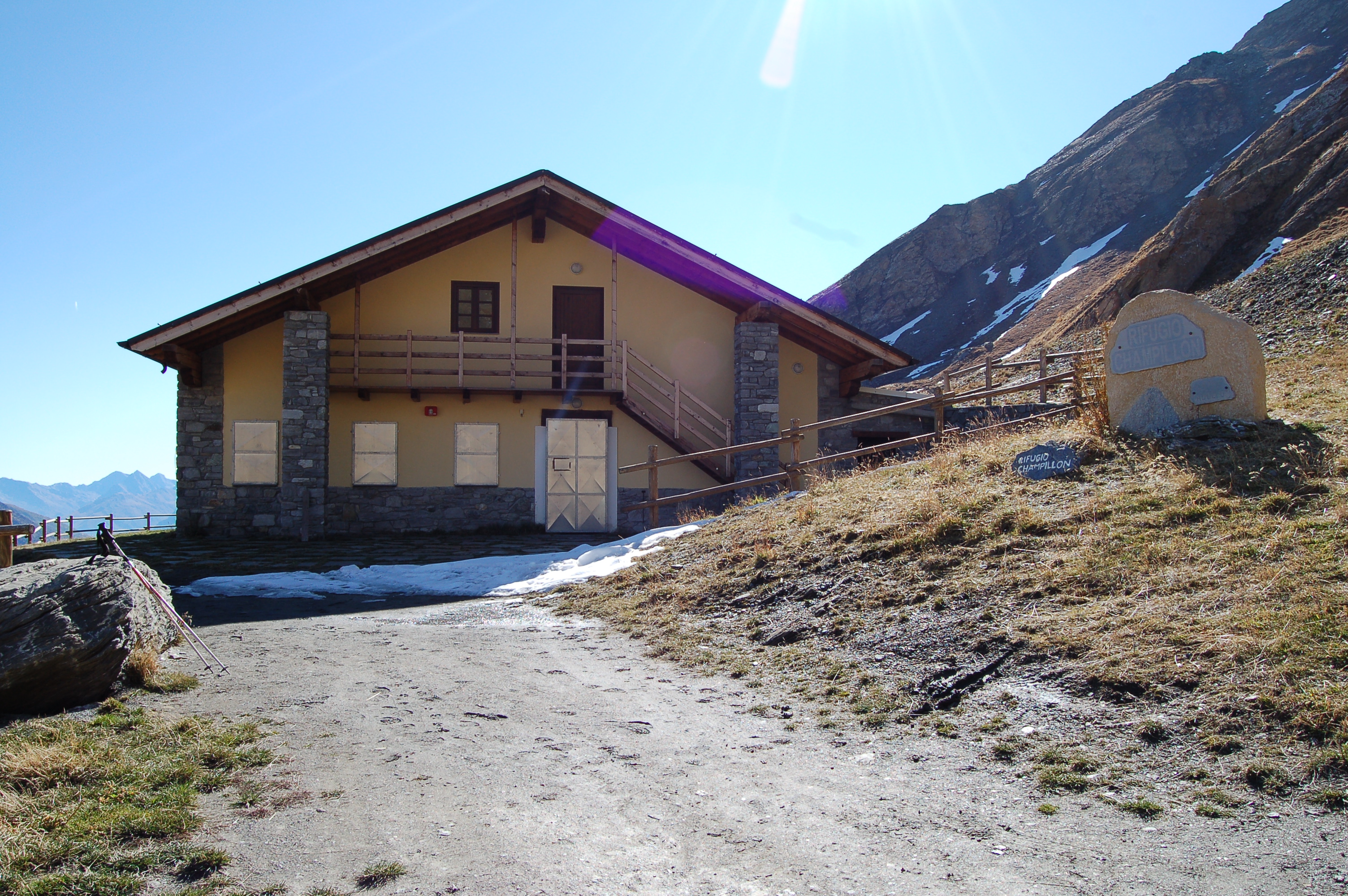
Another easy itinerary, not long, and very satisfying, both for the splendid panorama over the basin of By, and for the spectacular flowers. The Refuge Letey, opened in 2005, can be used as a stopover point for the Alta Via 1 and the Tour des Combins, both of which pass over the pass, the former going towards Courmayeur, the Tour instead towards Switzerland. The pastures of the By basin are very rich, and were the scene in the past of fierce battles between the Valaisans and the Valle d'Aostaans for their possession; it is said that in the 16th century a furious battle was fought at Plan Detruit. Through the pastures runs the ru de By, which we will cross; it has its source in the basin of By, at about 2200m and crosses it all the way above Allein; it was built in 1400. Doues, the little village you come across on the way up to Plan Detruit by road, was the ancient Dovia of the Romans, a place where the Romans, and before them the Salassians, worked copper, as evidenced by traces of ovens.
.
Description
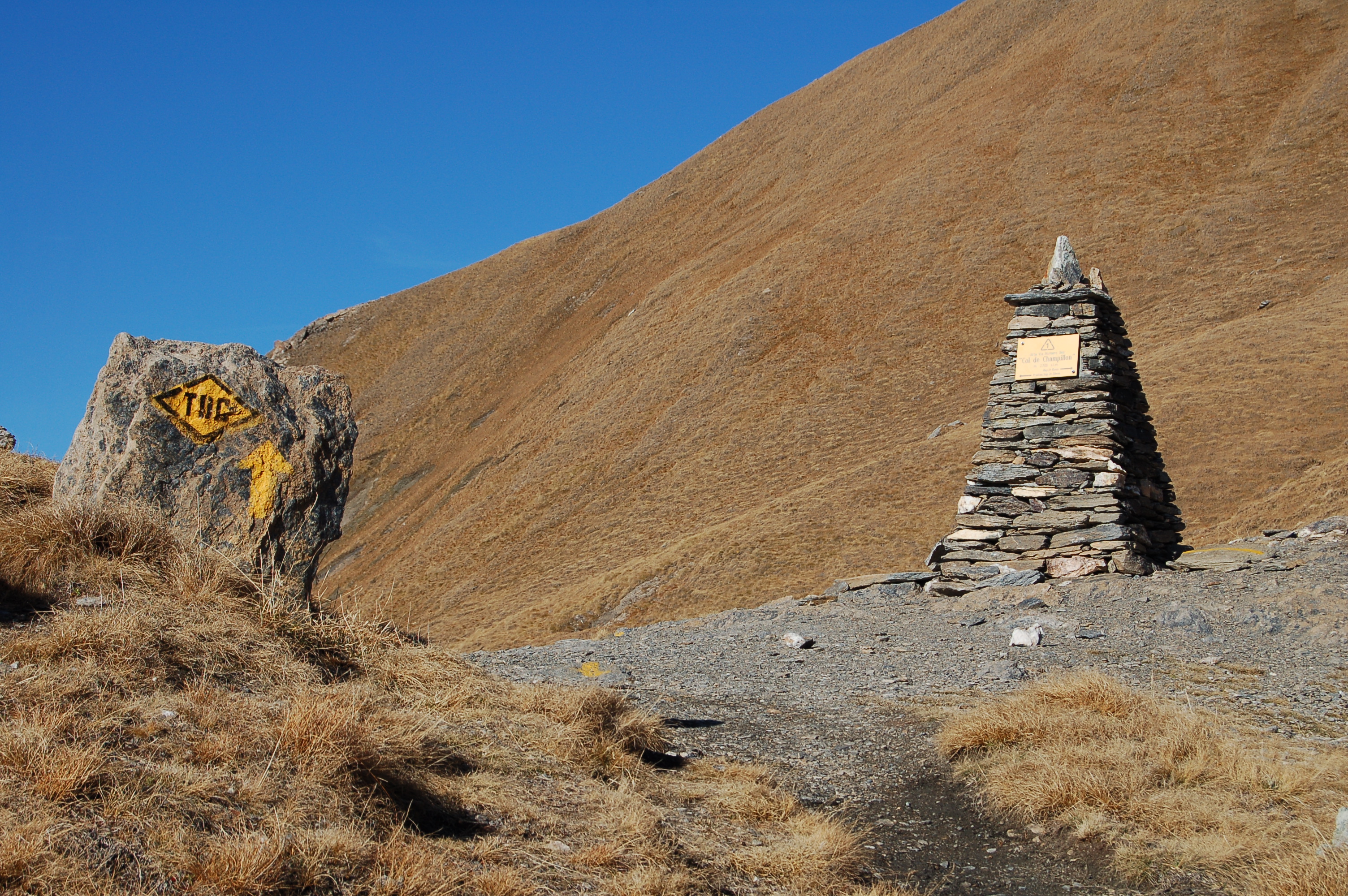
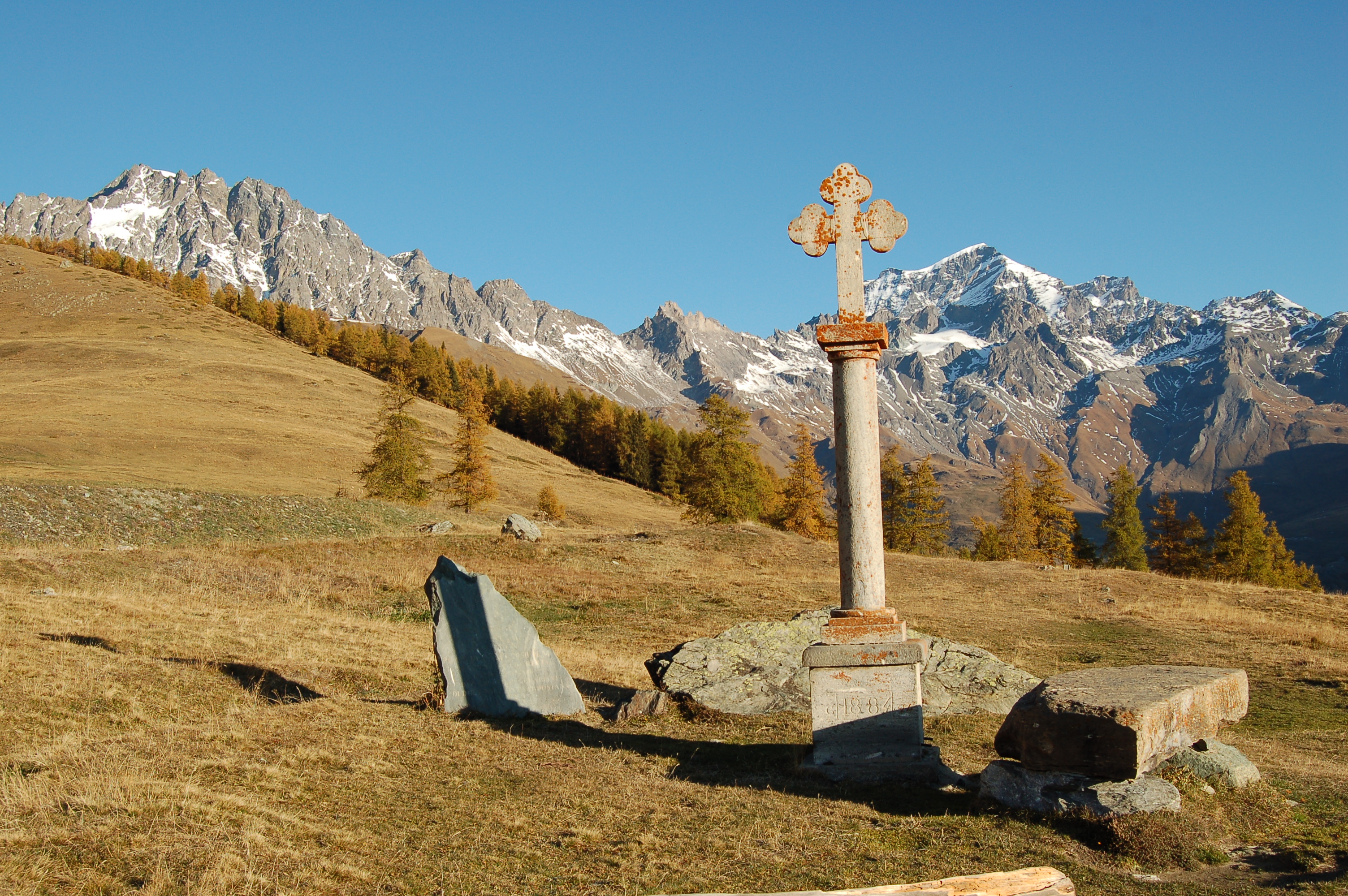
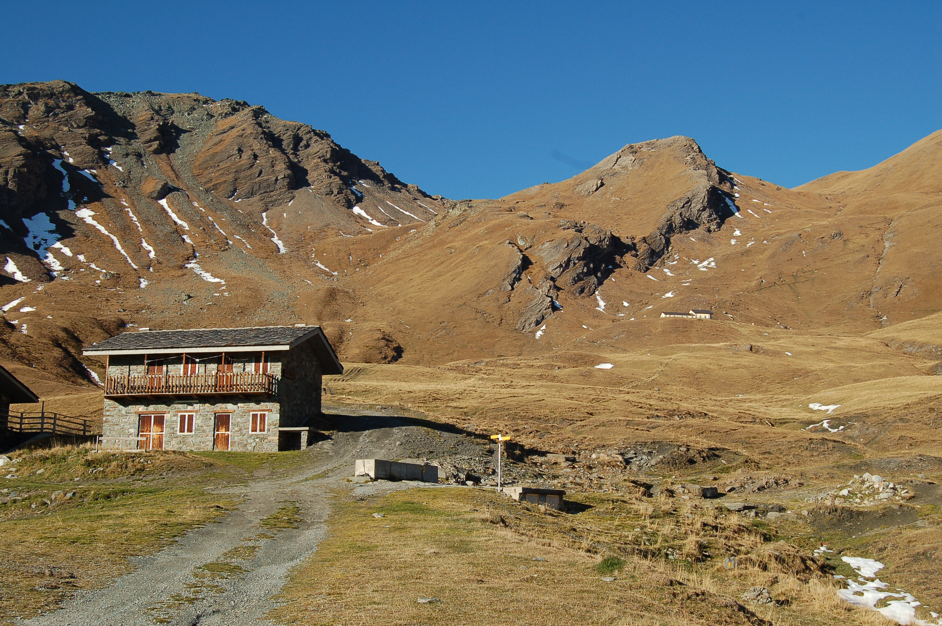
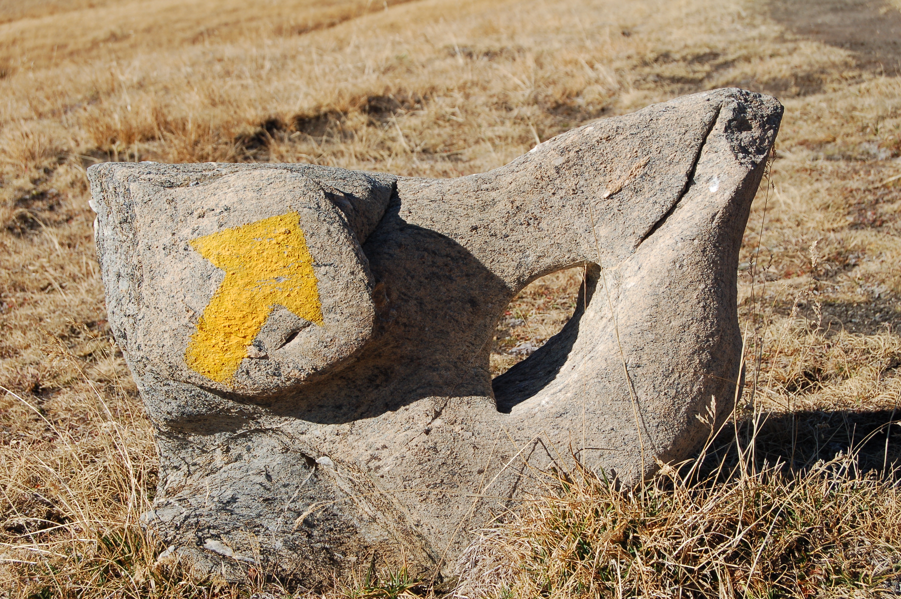
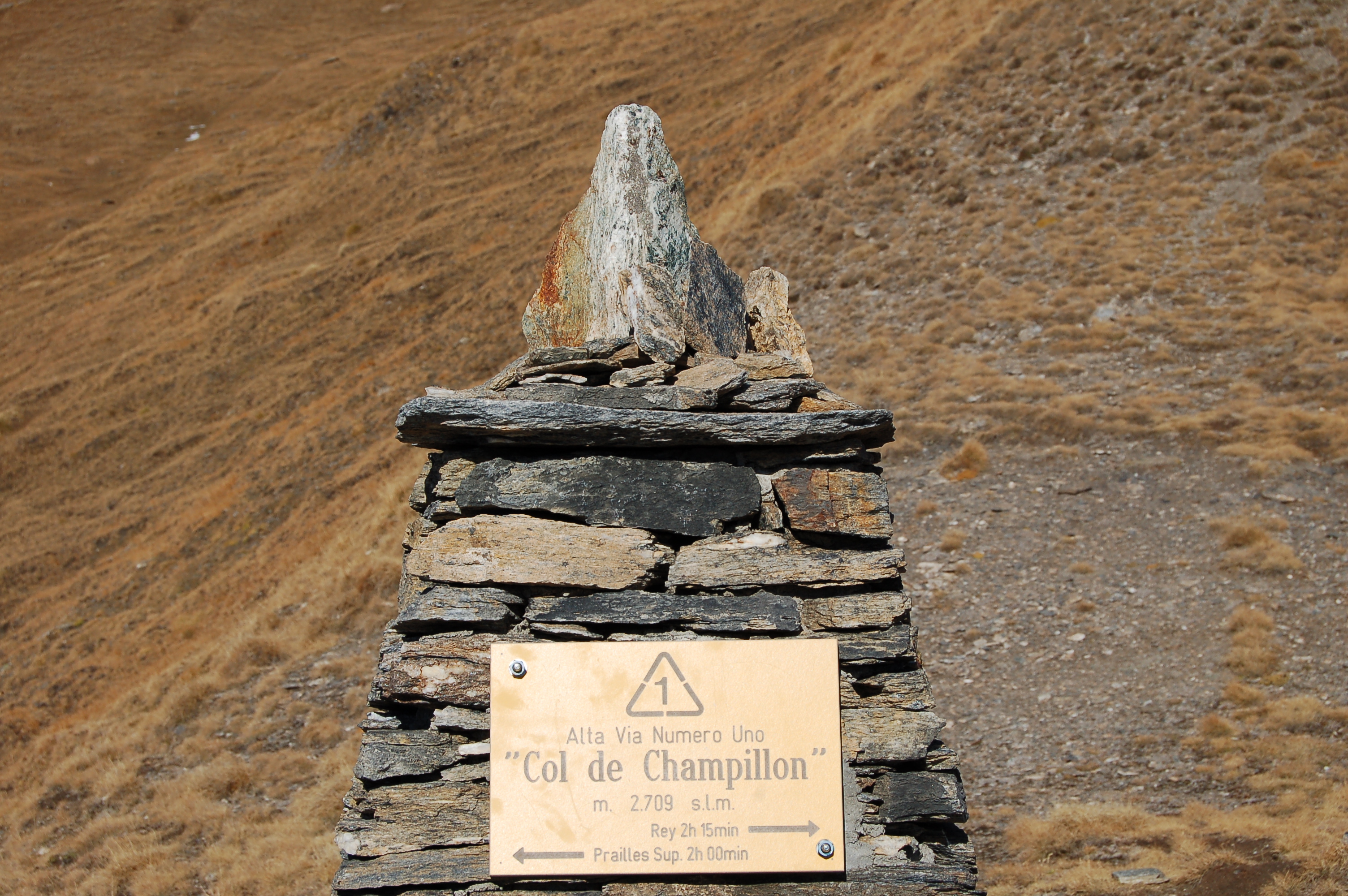
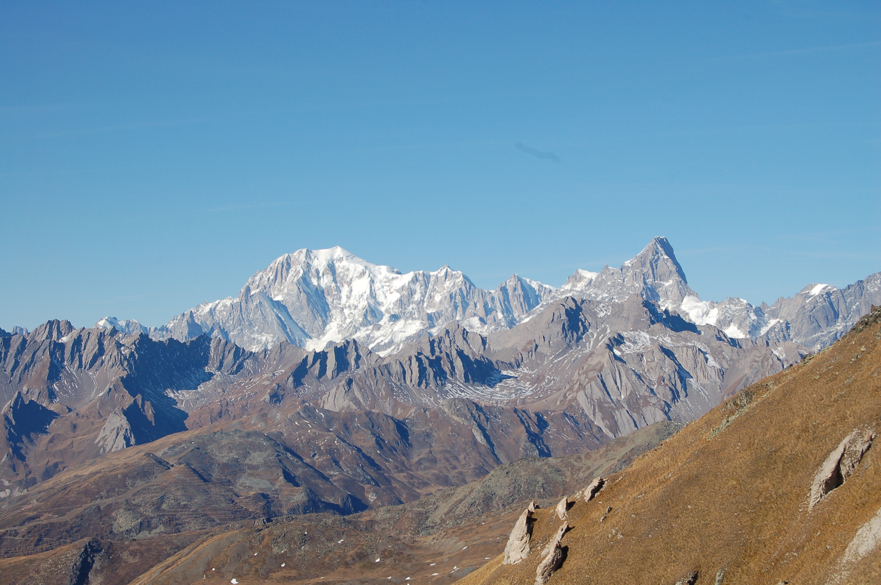
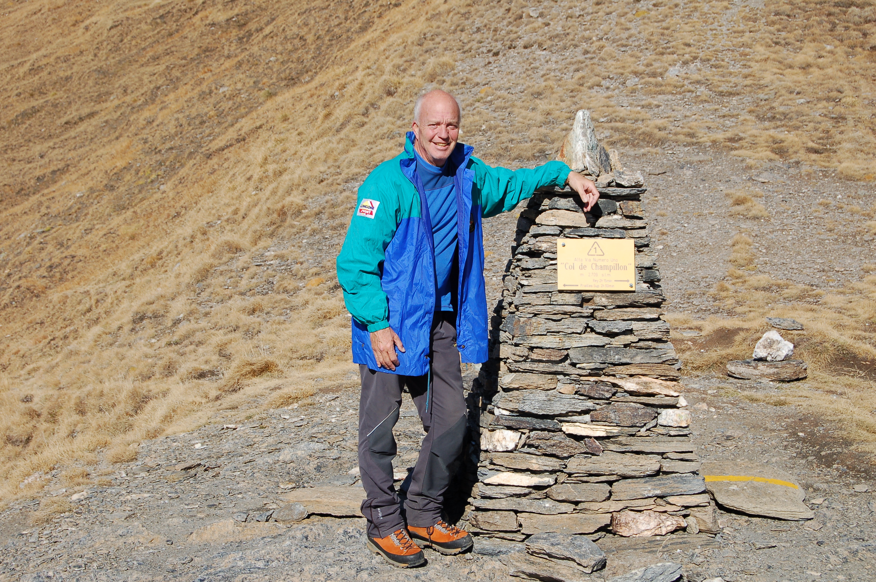
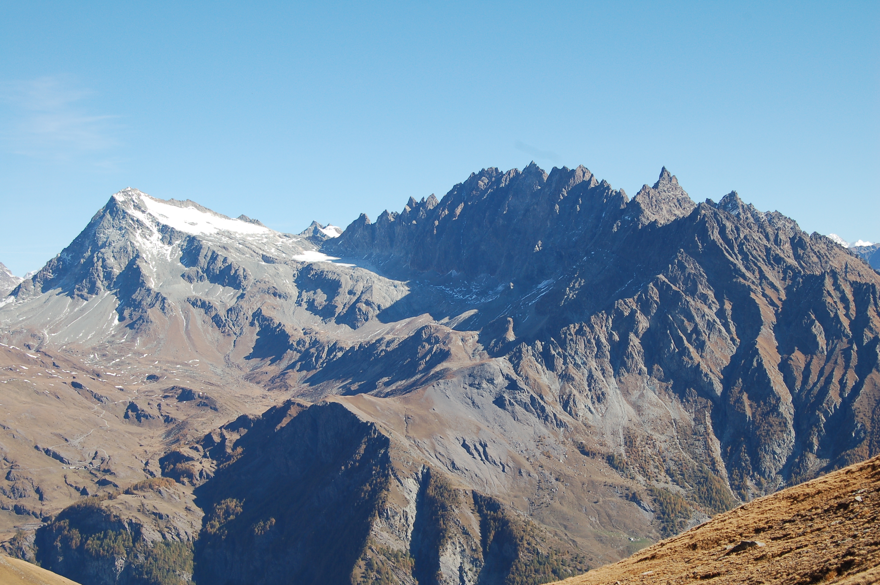
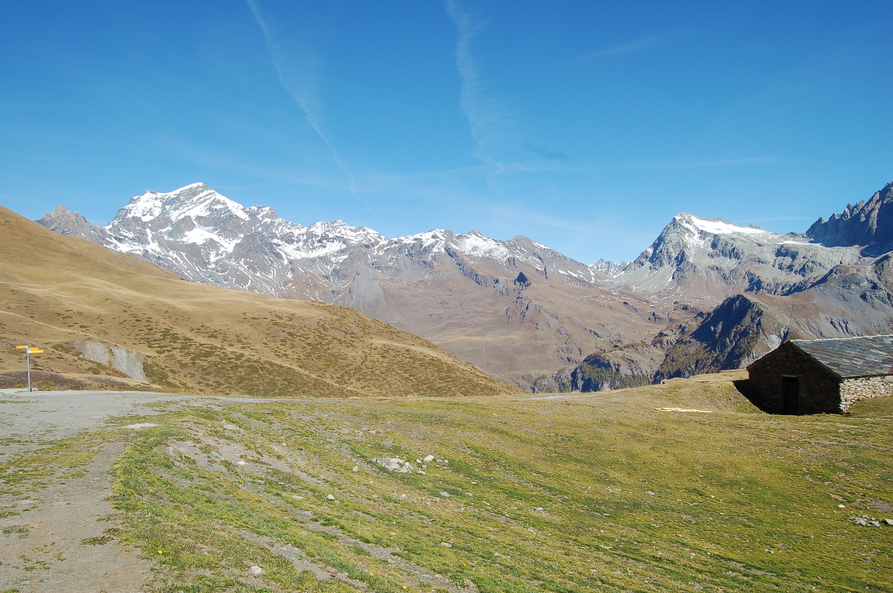
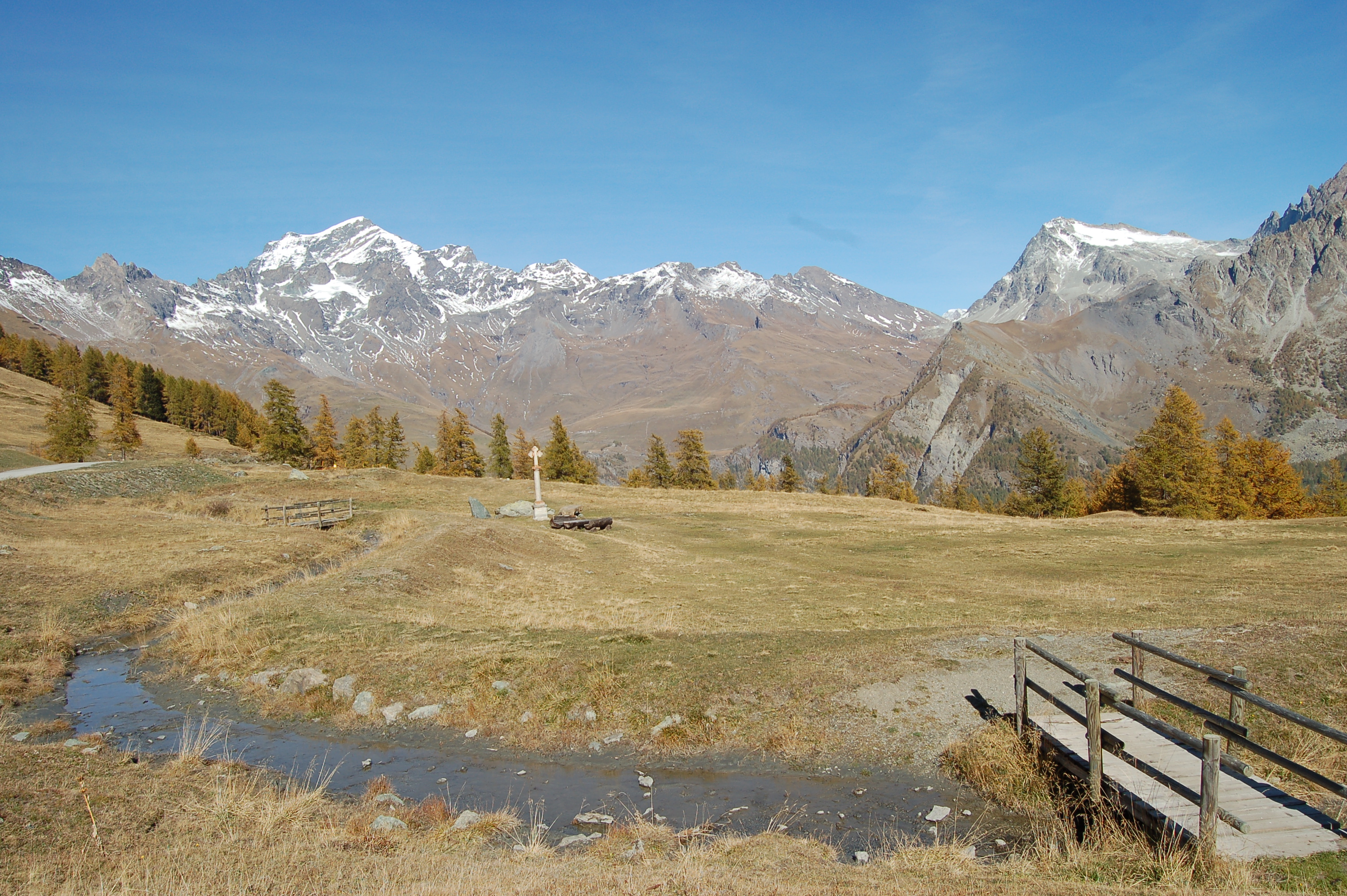
Already on the way up by car, the panorama over the Great St Bernard Valley and the peaks above Aosta is very wide: Emilius and Grivola impose their bulk on the other peaks. From Plan Detruit (2076m) the view then widens out to Grand Combin, Mont Avril, Fenetre de Durand, Mont Gelé and the basin of By. As soon as we have parked our car, a signpost directs us towards the path that runs alongside the Ru de By, passing behind the little chapel of Notre Dame des Neiges until it leads onto the inter-country road that climbs up to the alpine pastures; we follow it for a little while, as far as the Pessinoille alpine pasture and then leave the track to climb to the left onto the shortcut path that soon leads to the Tsa alpine pasture, which has another beautiful spring. From here, we continue partly by path and partly by dirt track to the hut, which is clearly visible (2435m, 1h15'). Our path continues behind the refuge with a series of non-fatiguing twists and turns that allow us to quickly gain height amidst meadows full of bluebells, arnica, evergreens and gentians: a joy to behold. After a few hairpin bends, we enter a small valley at the exit of which we cross a flat meadow to reach the pass, marked by a cairn (2708m, 2h00'). The pass overlooks the Gran San Bernardo valley and the Citrin, Flassin and Serena combe, as well as the Fallère. Descent by the same route.
Approfittato di questo ottobre ancora con temperature discretamente piacevoli, per salire a questo colle. Raggiunto al colle da una coppia di svizzeri, ridisceso in loro compagnia.


Comments (0)
Sign in to leave a comment