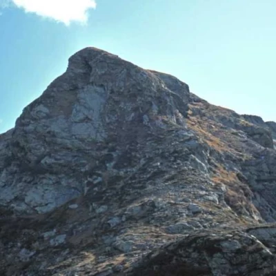
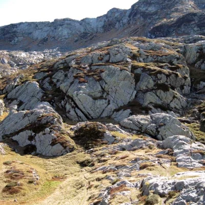
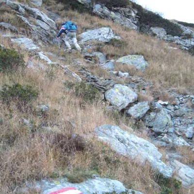
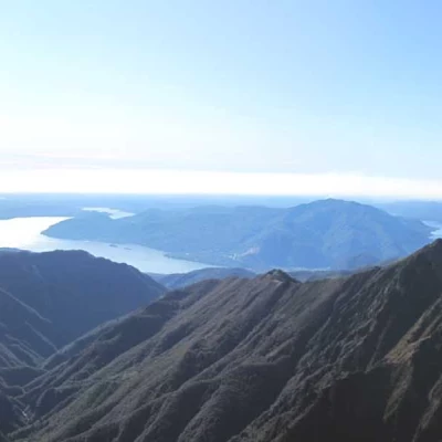
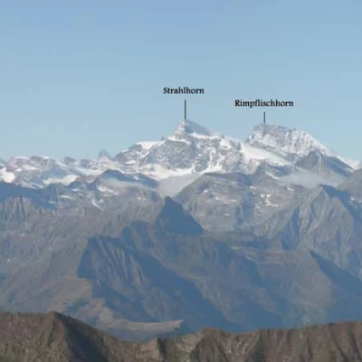
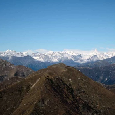
Cima della Laurasca, from Fondo li Gabbi
Access
You take the Genoa-Gravellona road and, having reached its end at Gravellona Toce, continue on the dual carriageway in the direction of Domodossola; having passed the Ossola capital, exit at the junction for Masera and the Vigezzo Valley. After passing a few villages you reach Malesco, where you enter the village and follow the signs for the Loana Valley and the Valgrande Park; the tarmac road continues for a few more kilometres, arriving at the Fondo Li Gabbi plateau, where you can park your car in the large car parks.
.Description
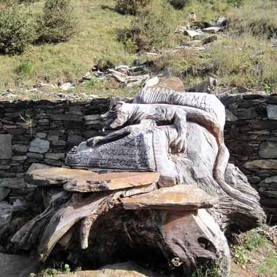
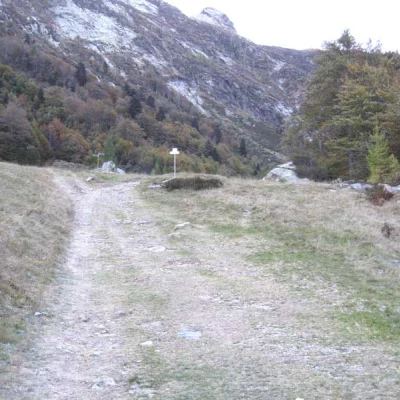
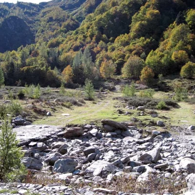
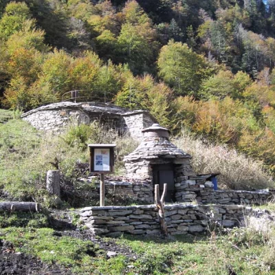
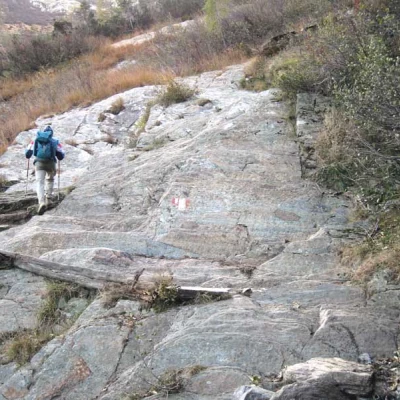
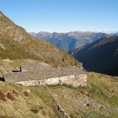
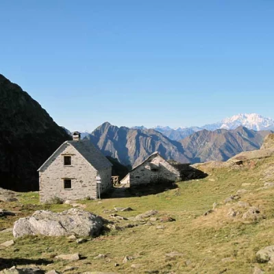
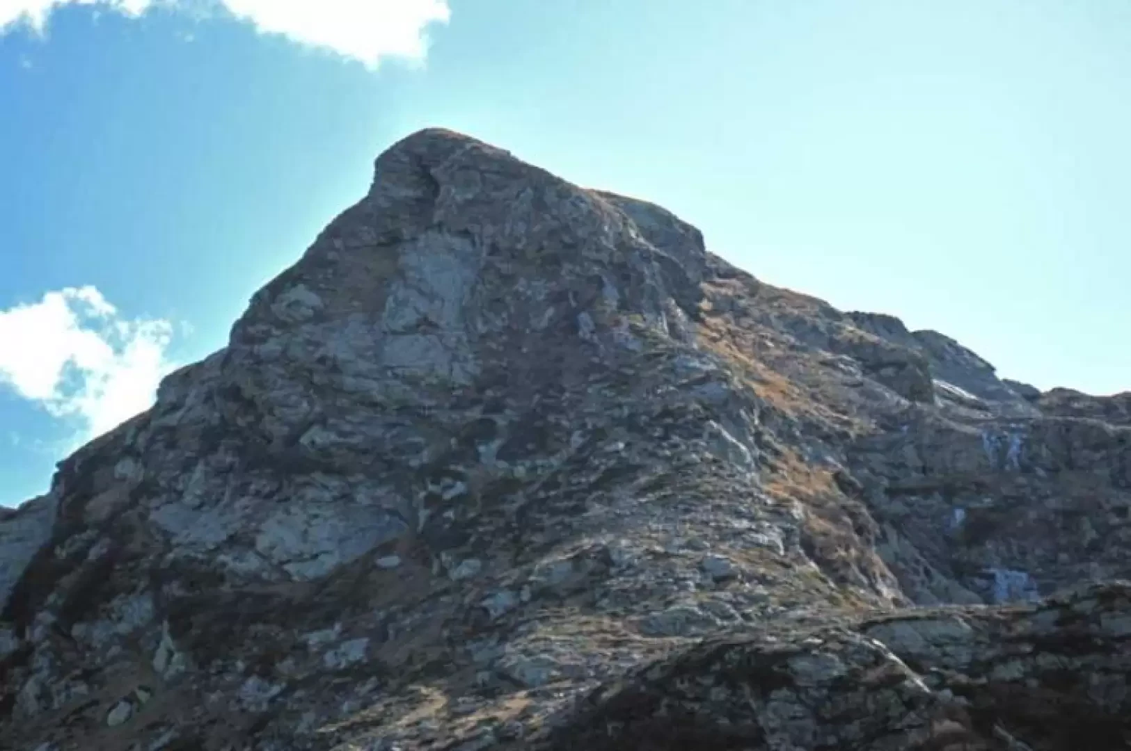
From the car park, take the wide mule track that enters the valley, climbing slightly uphill on its orographic right-hand side, passing in front of a curious wooden sculpture; as you continue, you come to a fork in the road, at two mountain huts (1319 m), where you leave a path to the left and, a little further on, cross the stream at the bottom of the valley, moving onto the opposite side where there is a signpost. Leaving the track to the right, we now continue on the path and, after rejoining the path coming from the opposite side of the valley, we soon reach a very well restored old lime kiln (1445 m). Now the path begins to climb into the forest, which becomes increasingly sparse with more marked inclines, passing by a water intake and passing some smooth rocks where, in the case of verglass, some care must be taken. After climbing up the side of the mountain, the mule track arrives in more open spaces where the huts of Alpe Cortenuovo (1794 m) are encountered and, having passed them following the signs of the poles, in a few minutes you reach Alpe Scaredi (1848 m) where, in a hut, a bivouac has been built. Pass by the fountain of the alp and lose a few metres in height, arriving at a little-marked fork where you head to the right and, more precisely, towards a low rocky bastion that you pass on the right, taking the track that is now more visible and marked by the white/red marks, and ascend a short grassy gully between two rocks. Aiming at the evident peak now in front of us and with the slope increasing still further, you arrive at a crossroads of paths (2037 m) where you continue straight on, ignoring those that branch off to the right and left; the track goes up the flank of the Cima della Laurasca, moving to the right and, at a small rocky crest, goes over it, moving onto the opposite slope from which, with a last steep climb, you reach the large metal cross on the summit.
