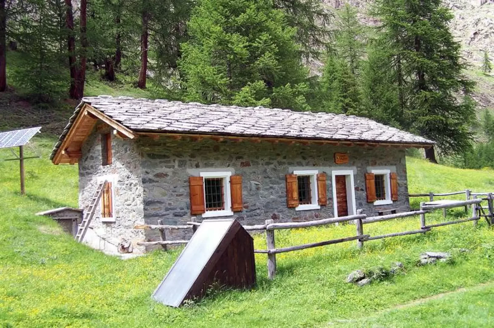
Casotto del Trajo, from Epinel

Access
From the A5 Aosta West motorway exit, continue along the main road to Cogne. When you reach the village of Epinel, turn right and follow the signs for the sports centre. Go down the road a few metres and leave your car in the convenient car park next to the sports facilities.
Introduction
This excursion with a not excessive difference in altitude allows us to arrive at one of the many huts of the N.G.P. located in a position that is not very panoramic but strategic for spotting, if we set off early in the morning, wildlife even at low altitudes.
Description
From the car park, we cross the wide bridge over the Grand Eyvia stream and head towards the obvious footpath board and adjacent signposts and follow the signs for Colle del Trajo. The path immediately rises steeply and with narrow hairpin bends immediately gains height in the beautiful evergreen coniferous forest that will accompany us for almost the entire hike. After this steep section, we arrive near the Pladies alpine pasture (1884m) where, near the cable car, we come to a fork in the road and, turning left, we continue to climb at a slight gradient for a short distance, only to increase the gradient sharply soon afterwards. The path shifts to the right and, after passing a first fork for the Pousset valley, reaches the end of the forest near a cone of scree crossed by a stream, where it is already possible to spot a few chamois, which you cross to climb a wide grassy rib from where, on the opposite side, you can see the Chenaux alpine pasture. Returning to the forest, we pass an area where there are trees uprooted by an avalanche and immediately afterwards meet a second fork for the Pousset and, continuing on, first cross a small stream and immediately afterwards the impetuous torrent that descends directly from the Trajo glacier. Further on, you pass the Trajo pastureland and after a series of gently sloping bends between conifers and rhododendrons, you reach the small grassy shoulder where the hut is located.
To enjoy a more open panorama and to make wildlife sightings, it would be a good idea to climb 200 - 300 m in altitude by continuing on the path (27) to Colle del Trajo and, climbing up a steep but short moraine ridge, to reach the plateaus above, where ibex reign supreme. From here you can see to the east the Emilius, Garin and Tersiva peaks with the green valleys that descend from them, and to the west the front of the Trajo glacier and, further to the right, the pass of the same name. Beware that, at the moment, the last 200 m of difference in height before reaching the col, from two limestone pinnacles onwards, are not easily traversed, as the path, including the stones with the yellow markings, has collapsed and the progression is on steep terrain with very unstable boulders and stones.