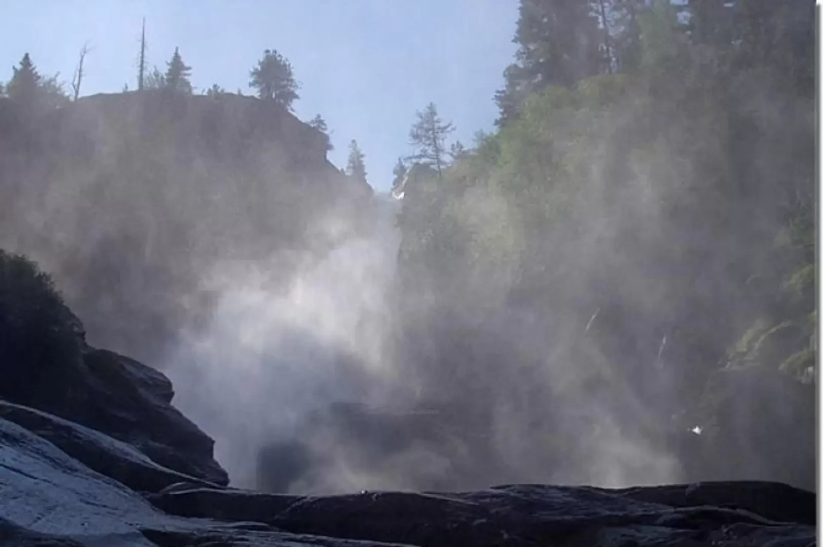
Rutor Falls

Introduction
The Rutor torrent, fed by the many small lakes at the north-west end of the Rutor Glacier, Italy's sixth largest glacier, cascades down towards La Thuile, forming numerous imposing (especially at the beginning of the summer season) waterfalls. The local toponymy indicates three main waterfalls, although, to be precise, there are other equally impressive jumps.
Description
Before the car park of the restaurant-bar (1603m), on the left, the trail starts, markers (3) and (8 ), to be followed. Proceed for a short distance along the stream and cross over a beautiful bridge to the opposite bank. In the middle of the forest, climb up to the panoramic balcony on the first Rutor waterfall (1,700m, 0h15'). Continue along twists and turns in the forest, passing a characteristic boulder and coming out at Parcet. Now proceed on a gentler ascent, passing by another waterfall and reaching a bucolic plateau near the stream, close to a bridge. Continue uphill on the path, which is paved in places, until the short diversions, to the right, to the second waterfall. Continue uphill and in a few minutes you will reach the next turnoff for the third waterfall, which can be reached in 3-4 minutes (1996m, 1h10'). When visiting this waterfall, pay particular attention to the very slippery ground because it is constantly splashed with water.
The descent follows the same route: descend to the first waterfall (1700m, 0h45') and return to the car park (1603m, 1h00').