Slataper Bivouac


Edited by:
Giovanni Mazzolani
Updated at: 01/09/2025
Introduction
There are two possible solutions from the car park: 1) Take the chairlift and go up to the 1580 m. of Rifugio Scotter, saving 50 minutes and 335 m of altitude difference. 2) Pass the barrier, which closes the cart track to traffic, and continue on foot to Rifugio Scotter.
.Description
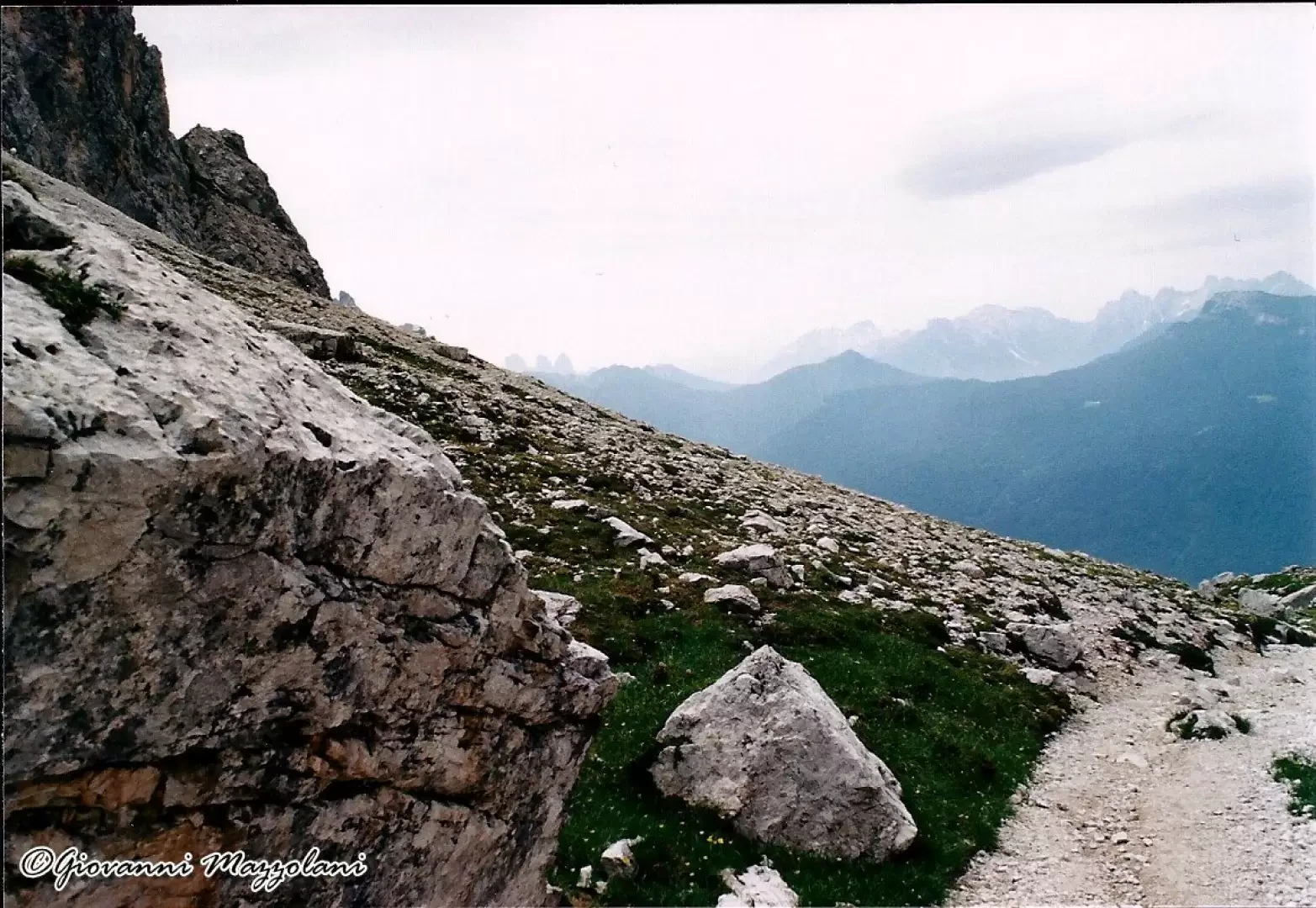
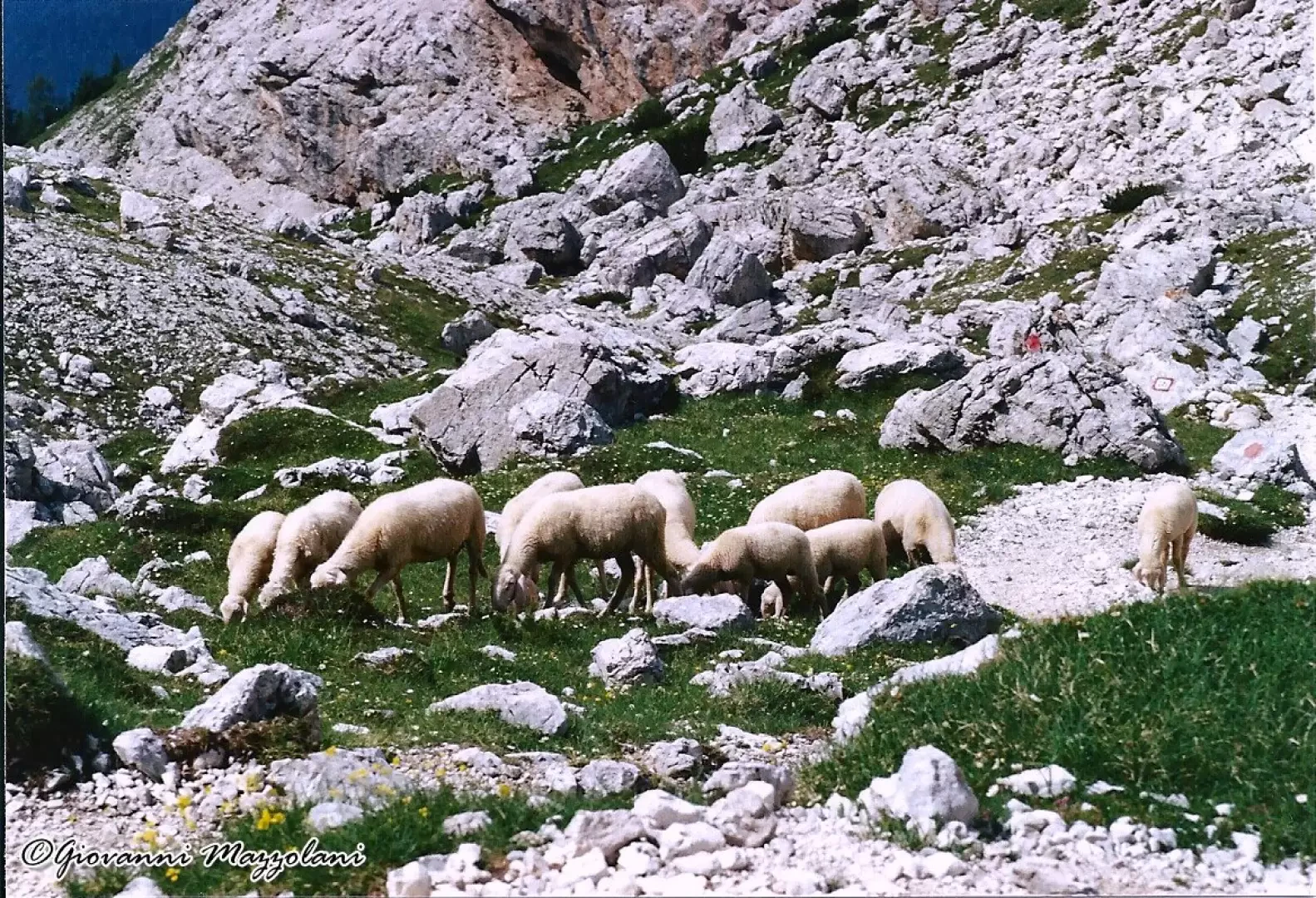
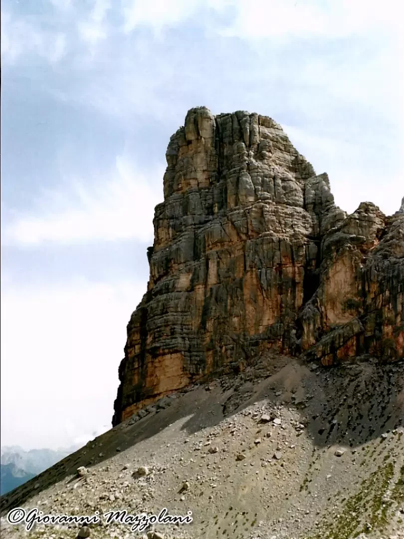
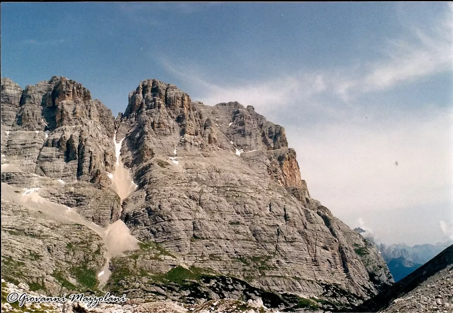
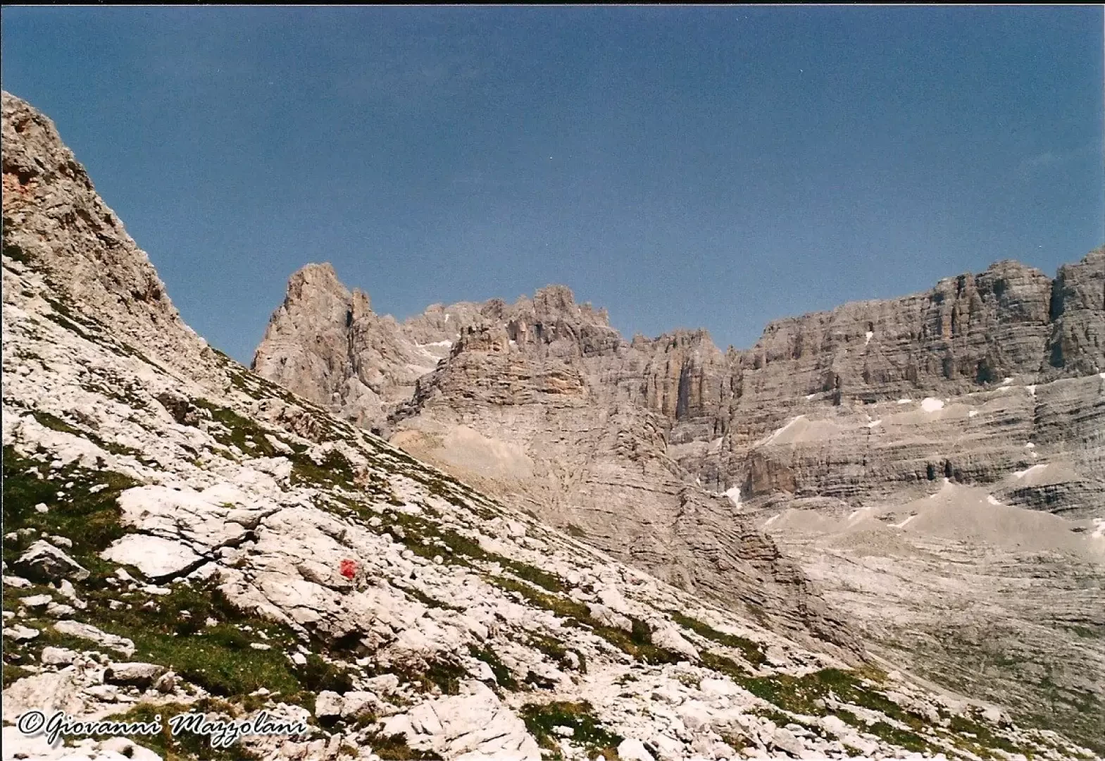
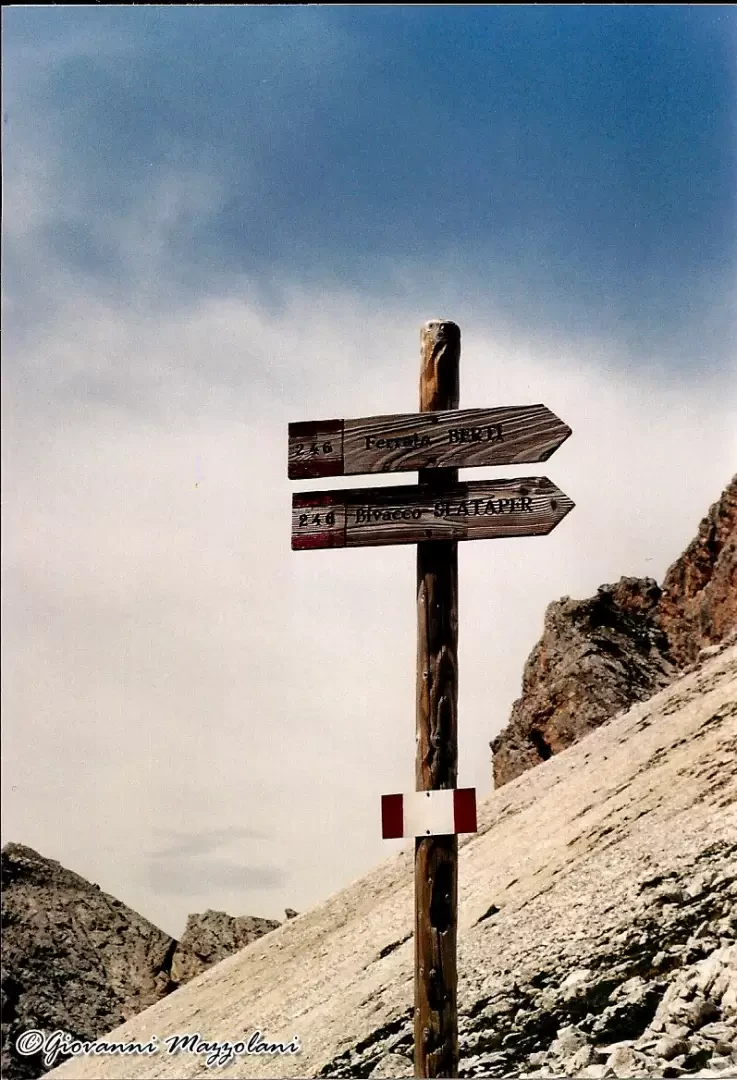
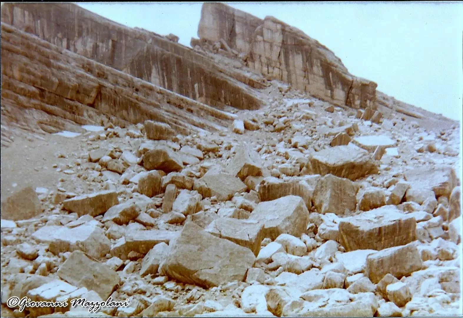
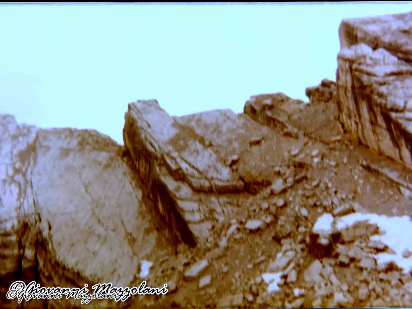
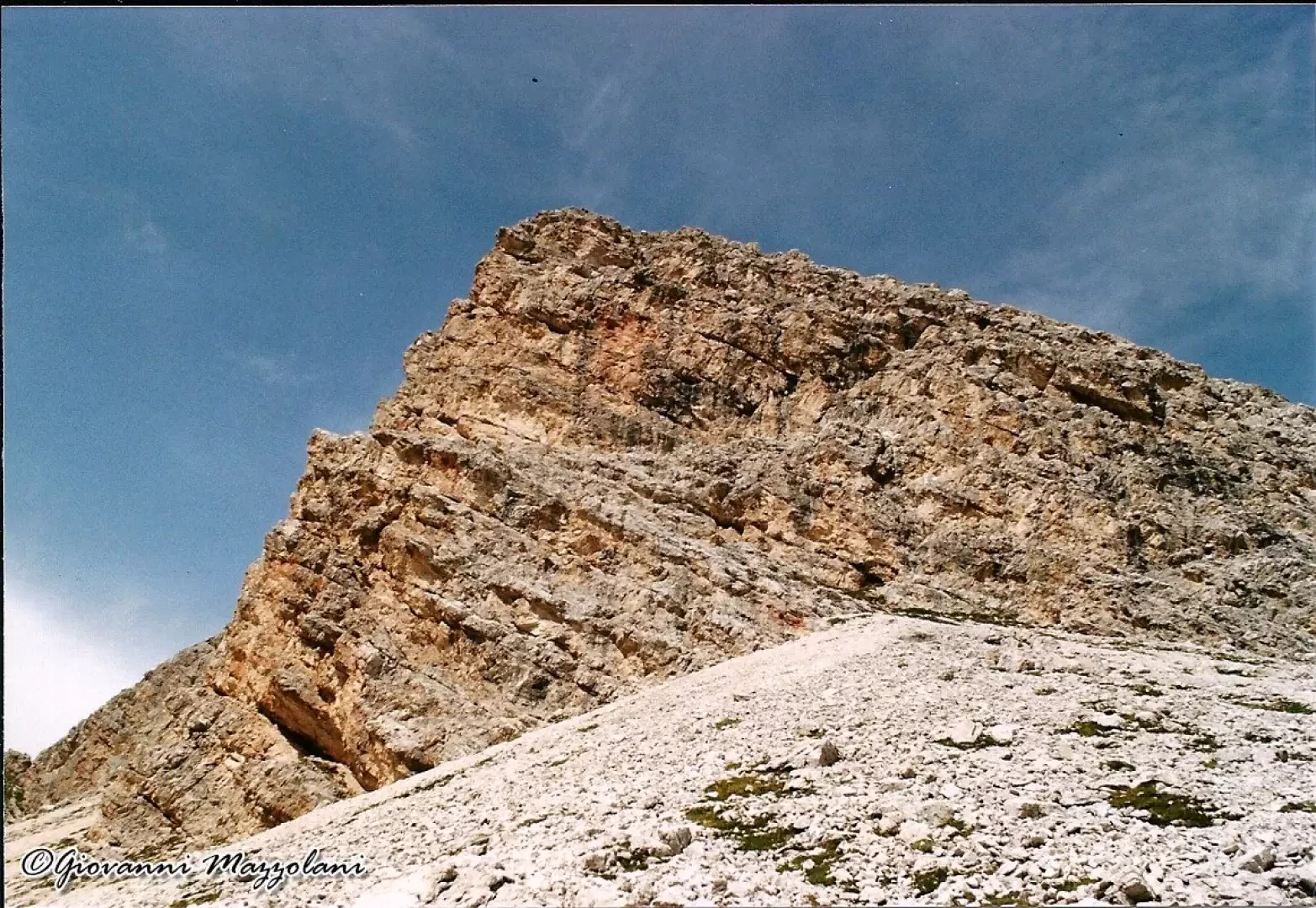
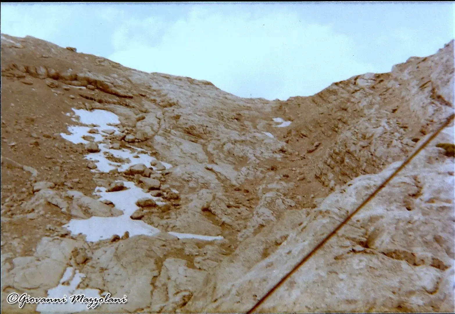
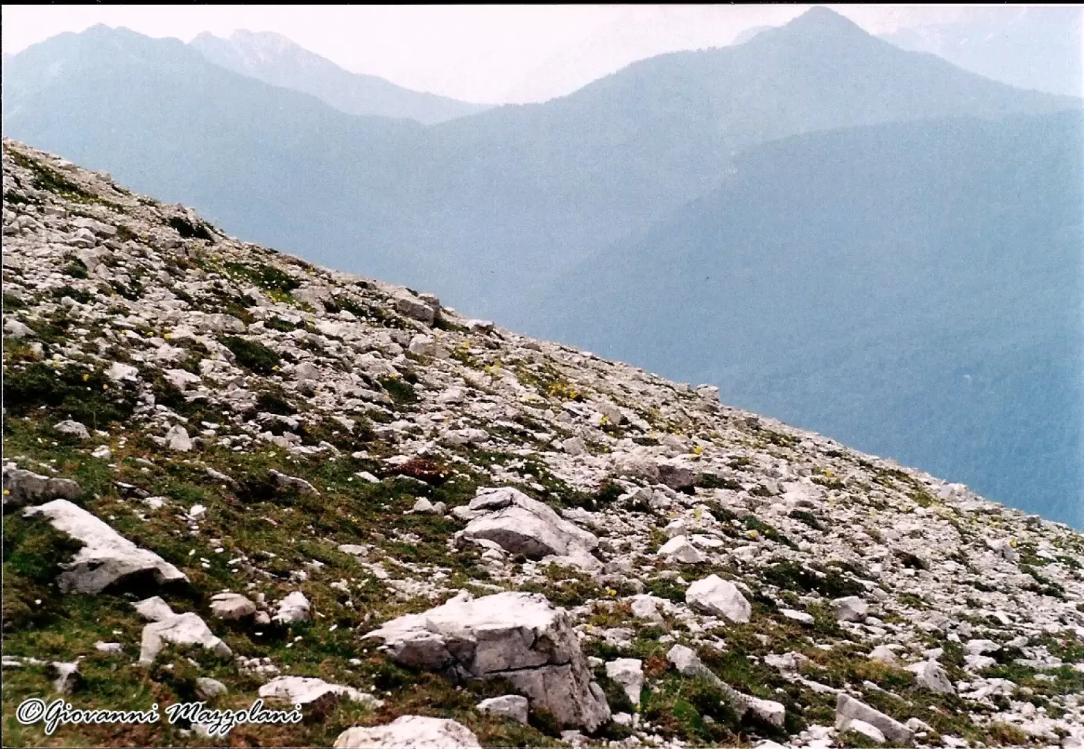
At the barrier, the wide cart track (marker 228) climbs up towards the Scotter refuge. After a few hundred metres we turn left, crossing a small bridge over the Ru Secco. The road begins to climb with a constant gradient until the Rifugio Scotter (Scotter hut) m. 1580, (0.50). After the hut, we turn left, shortly afterwards right onto path 229 to Forcella Piccola and the Galassi hut. The road continues to the start of the cable car for the San Marco Refuge (0.20), and after crossing the gully that descends from the Cima Bel Pra, you begin to climb the Col de Chi de Os wood. The path climbs steeply and washed away by water to the clearing where the San Marco Refuge stands (0.25). At the end of the clearing, turn right onto path no. 227 for the Galassi hut. We continue straight on along path 226 to Forcella Grande (the Alte Vie delle Dolomiti nos. 3,4,5 pass by the Forcella). We cross a hump at the edge of the forest and pass near a water source. We ascend the deep and rugged gully (Giou Scuro). The mule track, with steep hairpin bends, at first narrow and then increasingly wide, partly carved into the rock, climbs up into the gorge and leads along increasingly less inclined slopes to the wide gully, be careful in case of rain. Up to Forcella Grande m. 2255 (1.15 from Rifugio San Marco). We go left to the Bivacco Slataper and the Ferrata Berti trail marker 246. The path runs along the gravelly slope of Punta Taiola and Punta dei Ross, losing about fifteen metres in altitude. Below us is the verdant basin of the upper San Vito Valley. We cross some debris tongues and arrive at the junction with path 243, which ascends from the valley; here the almost flat section ends. We continue past scree gullies, opposite the ramparts of the Caccia Grande wall, entering the Fond de Rusecco valley. Several steep slabs lead us towards the bivouac that appears above. Several routes can be followed due to any snowfields that may be present. The view of the bivouac allows us to choose the best itinerary (1.35 from the forcella ).A very wild and little frequented area, curious the squared boulders that descend from Punta dei Ross. Return by the same route. To the left along slabs, in 15 minutes you reach the Forcella del Bivacco 2670 m. Here begins the Ferrata Berti that leads to Rifugio Vandelli and is part of the Alta Via delle Dolomiti route no. 3. Return: Bivacco Slataper-Forcella Grande 1.10 hours Forcella Grande-Rifugio San Marco 1 hour Rifugio San Marco-Parcheggio seggiovia 1.15 hours
Photo gallery


Comments (0)
Sign in to leave a comment