Linge Bivouac, from Case Silizzi


Edited by:
Ivano Ruffoni
Updated at: 19/07/2025
Access
At the Ospitaletto exit of the A4 motorway, follow the local signs for Valle Camonica following the SP19 and the SP510. Near Pian Camuno go up the valley on the SS42 del Tonale e della Mendola road to Edolo, turn right towards Passo del Tonale, pass Incudine, Vezza d'Oglio, Temù and Pontedilegno. Shortly after the first hairpin bend following Pontedilegno, turn left onto the road to Passo di Gavia and climb up Valle di Pezzo to Sant'Apollonia, near which a renowned sulphurous water springs. Turn left into the Valle delle Messi and continue along the road until you reach the car park at the entrance to the Stelvio National Park (Nationalpark Stilfser Joch).
Pontedilegno can also be reached from Valtellina - via the Aprica (SS39) and Gavia (SS300) passes - or from Trentino - by climbing the Val di Sole and Val Vermiglio via the Tonale Pass (SS42).
Introduction
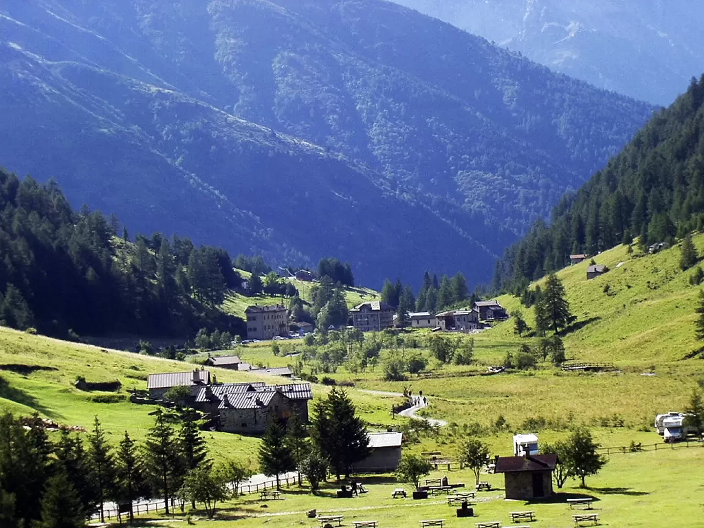
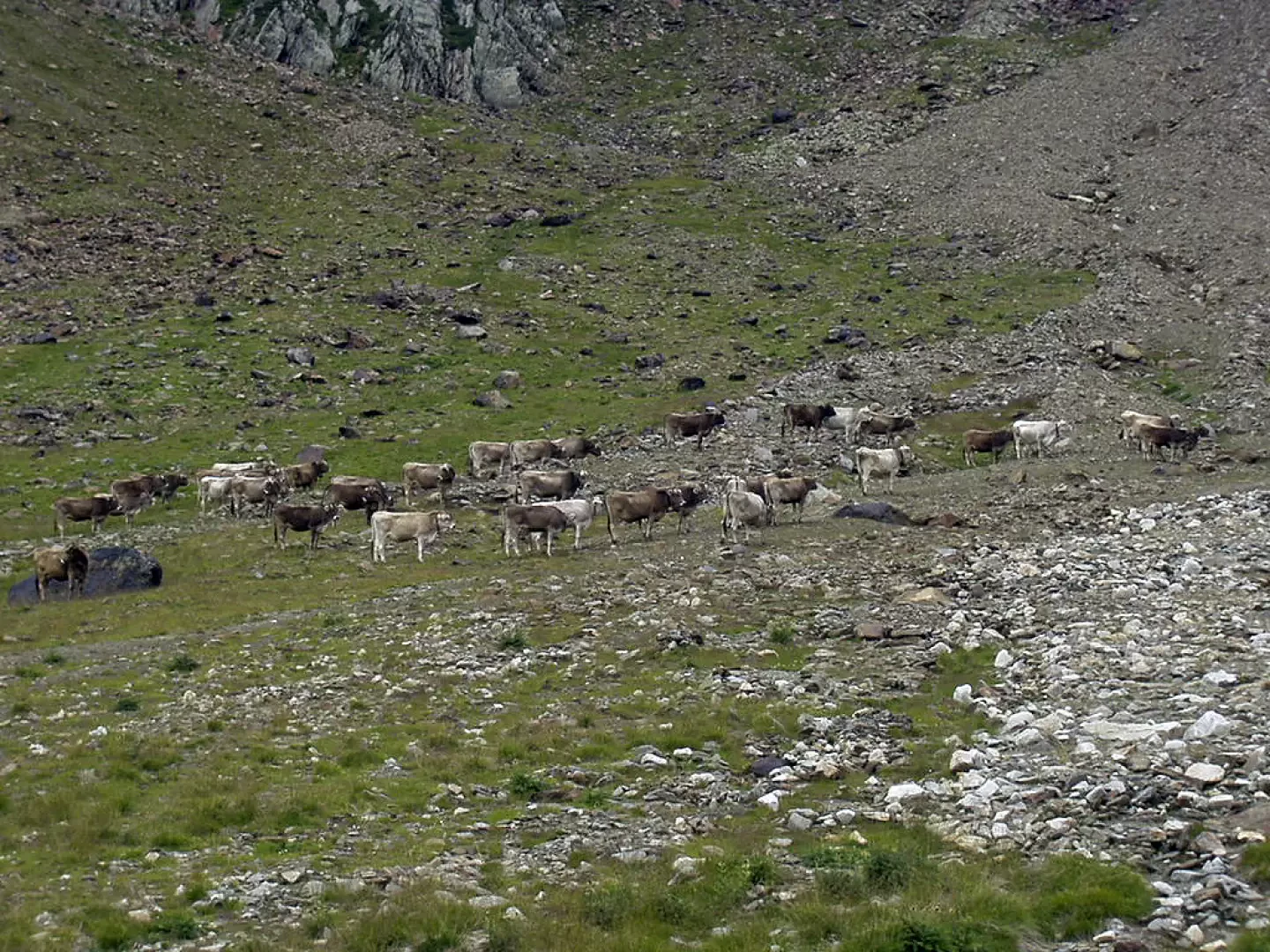
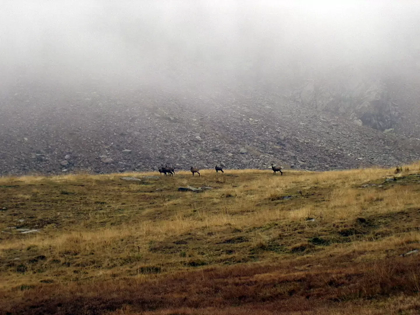
The Linge bivouac is located at the head of the beautiful Valle delle Messi, in a bucolic grassy hollow below the Punta di Pietra Rossa and Punta Valmalza. After the summer, when the cattle herds are down in the valley, it is very common to find whole herds of chamois quenching their thirst at the streams that feed the Rio di Valmalza.
Description
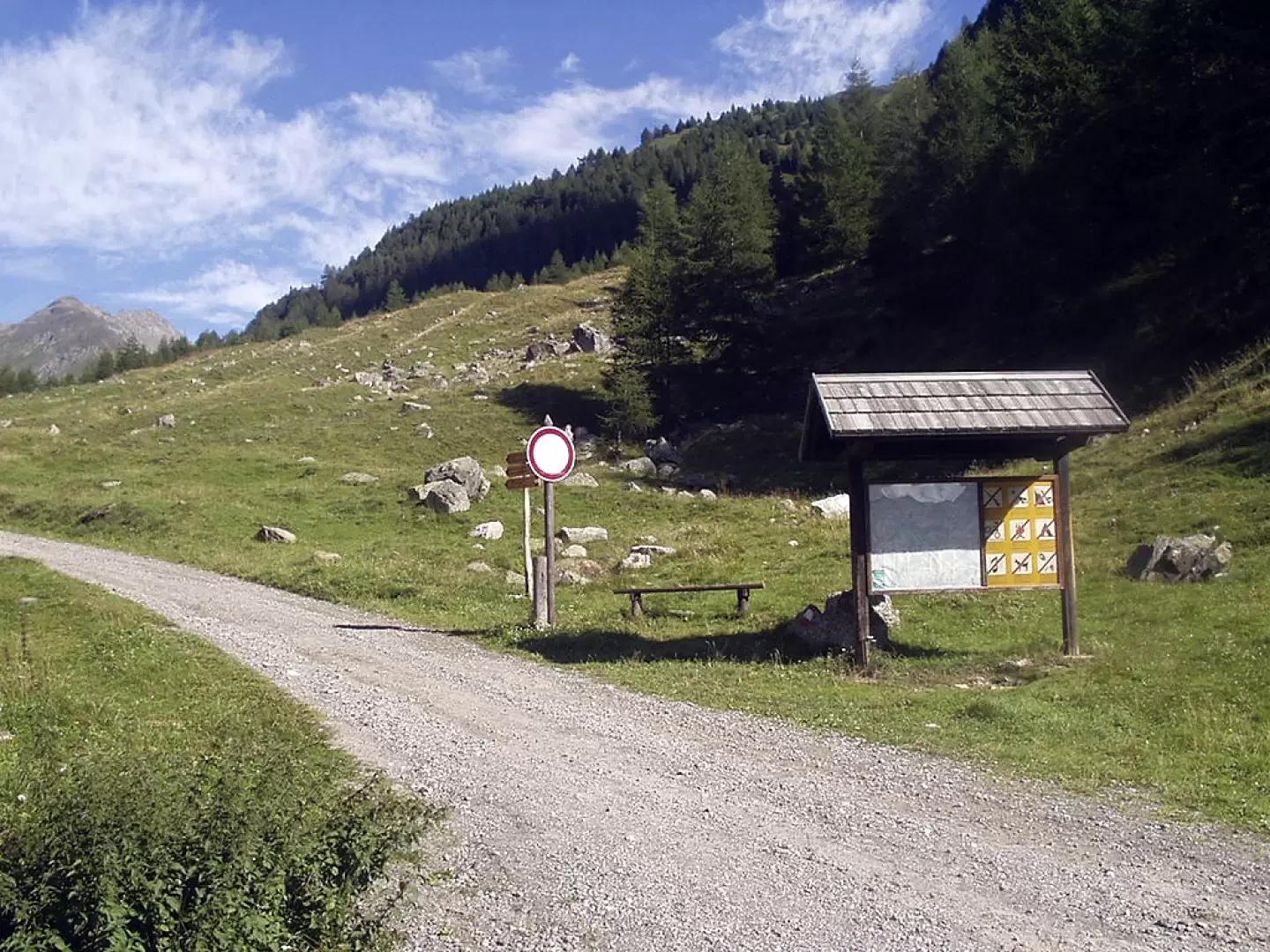
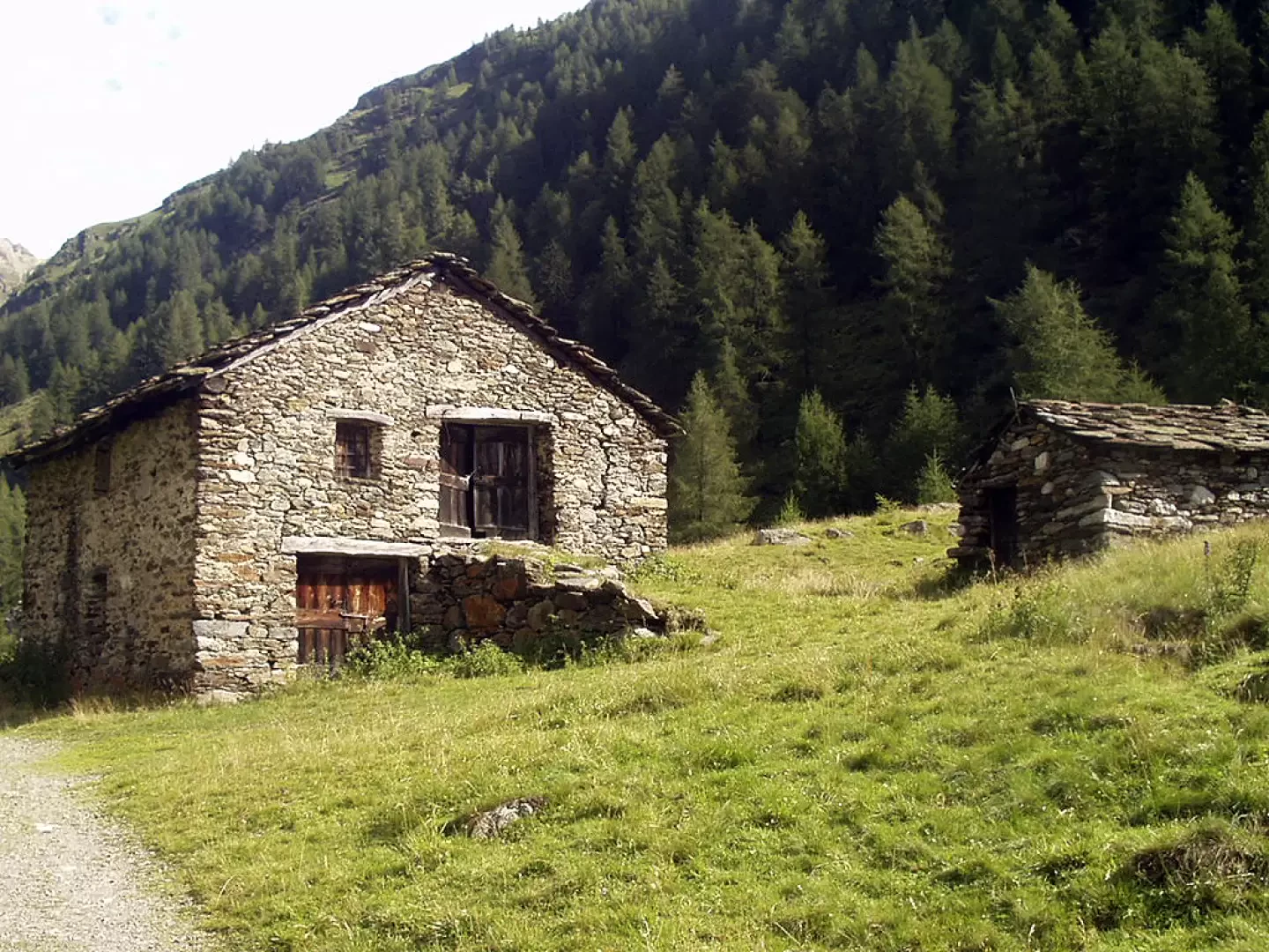
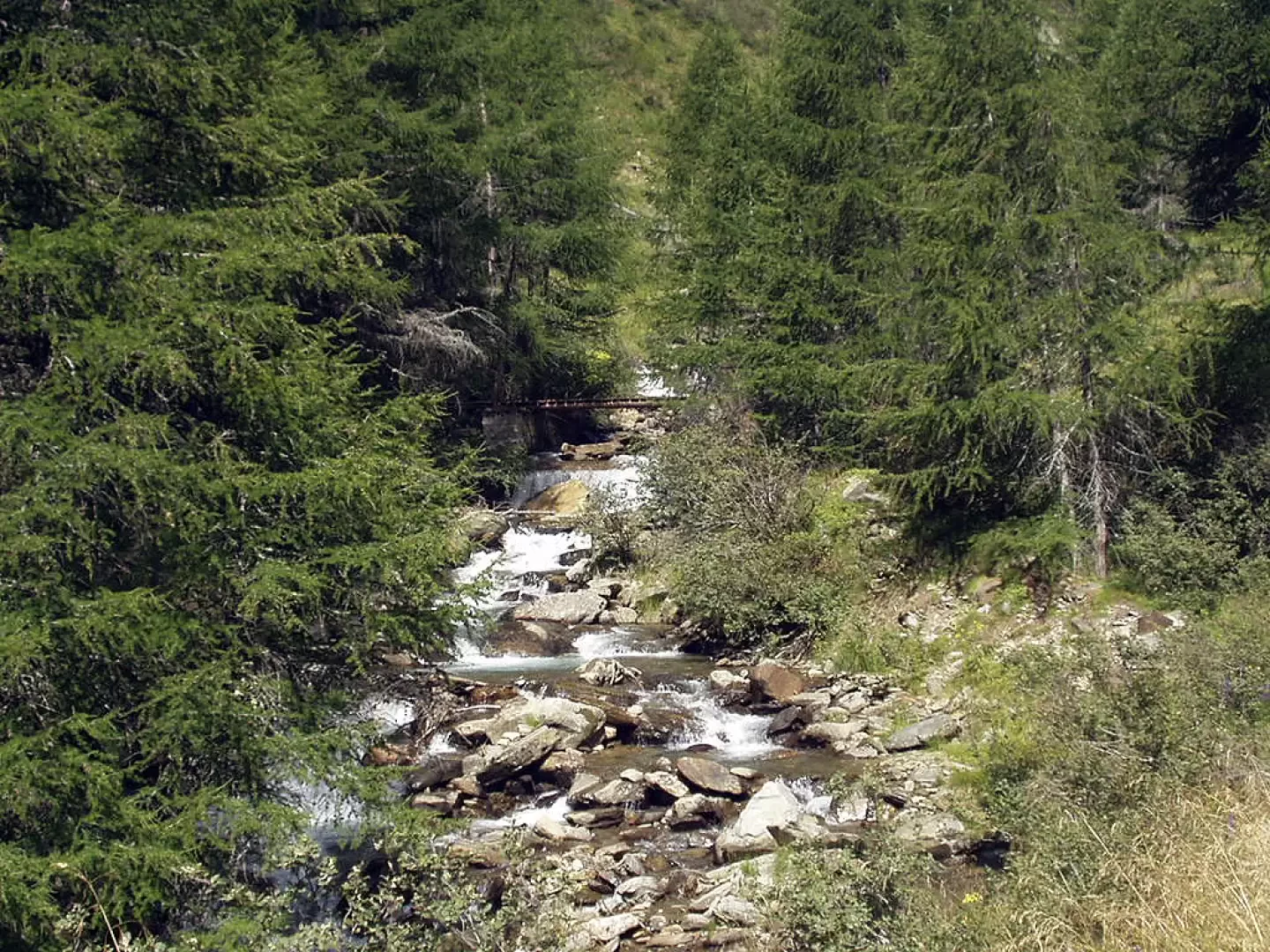
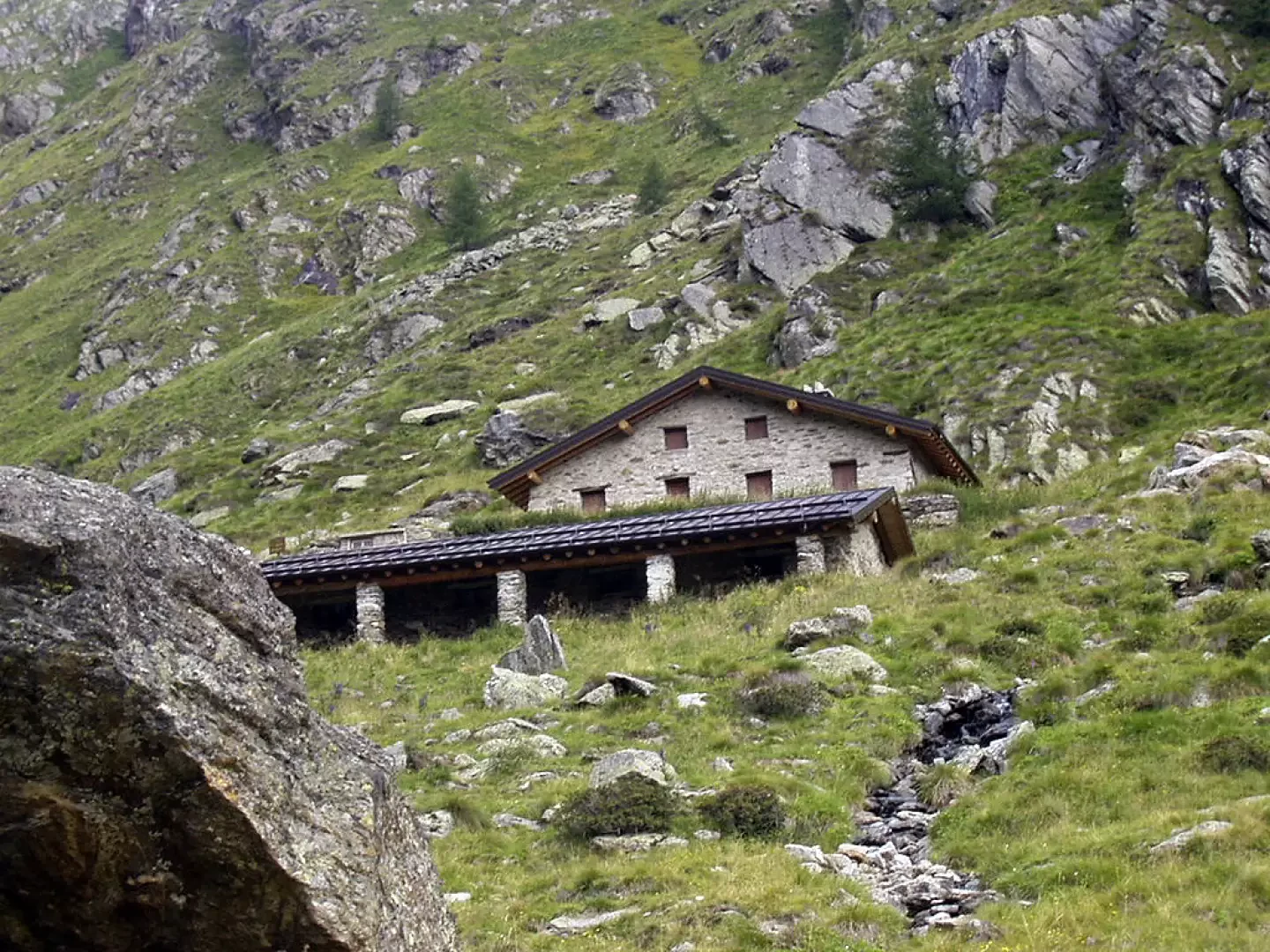
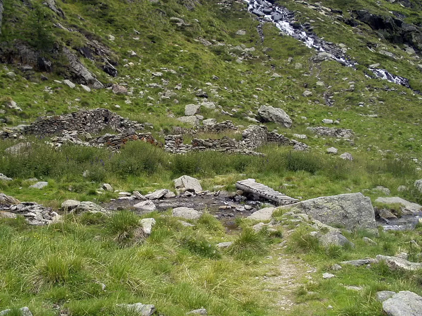
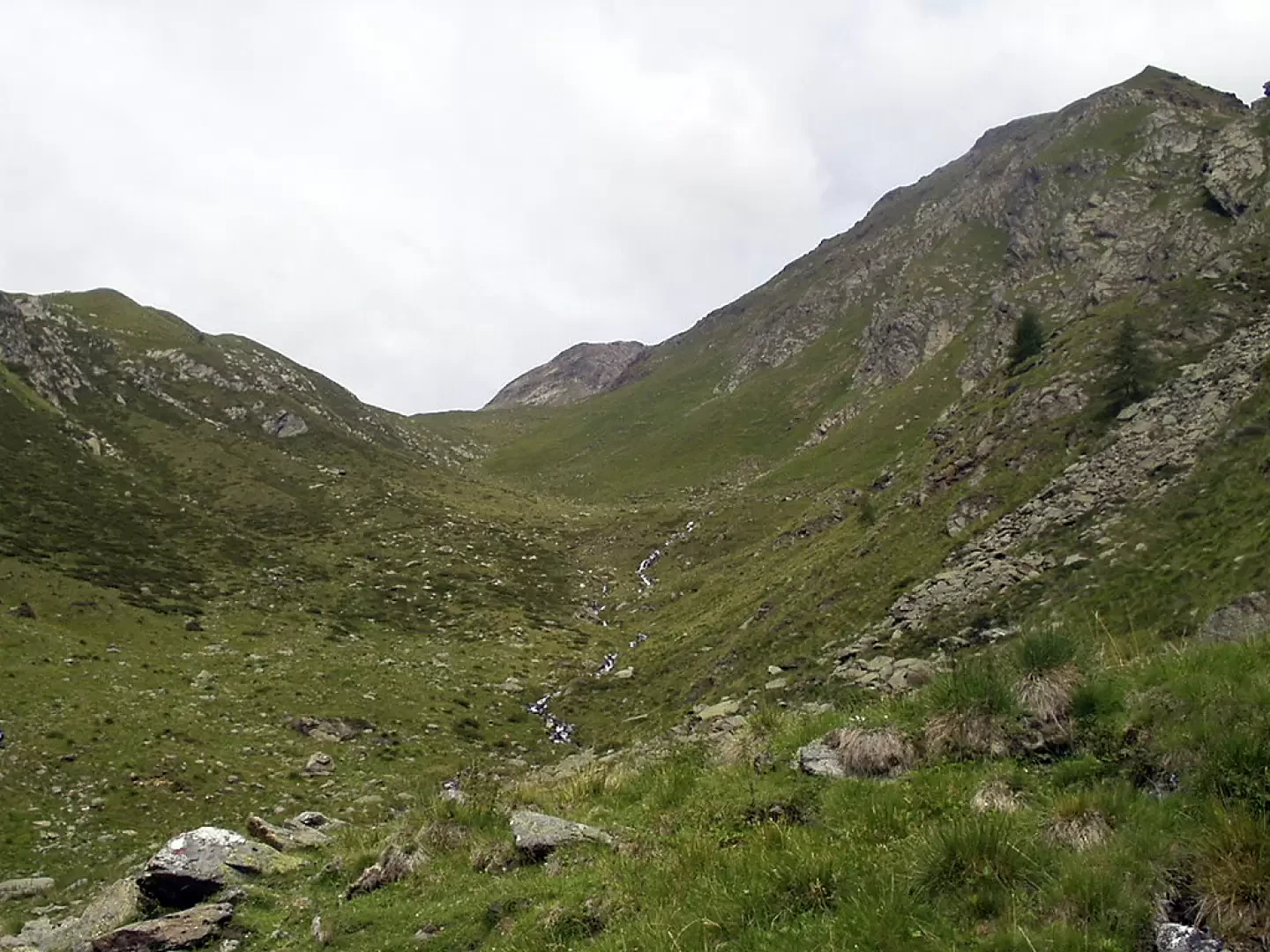
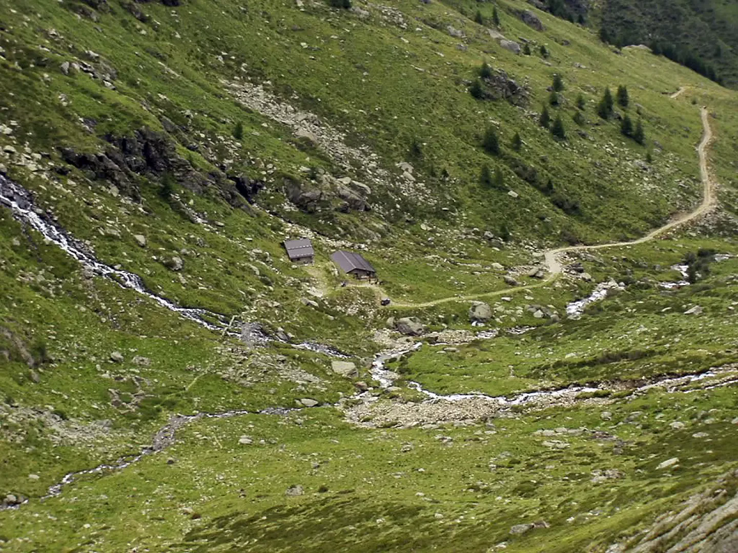
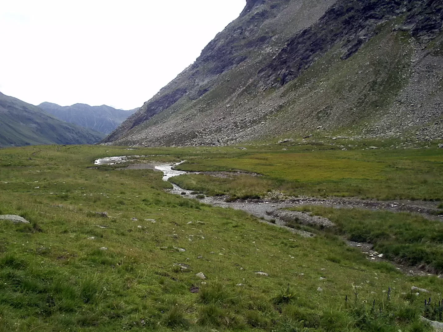
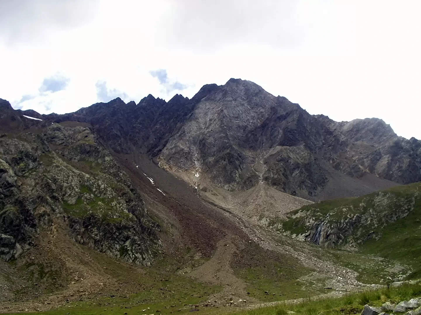
From the parking area (approx. 1550m), go up the Valle delle Messi on the wide dirt track to the orographic left of the Oglio Frigidolfo. You pass in succession the "Case degli Orti" (ignoring on the right the signpost [56] for the "Baite di Caione") and the "Case Pradazzo" (ignoring on the left the deviation for the "Laghetti di Monticelli") and cross various grassy areas sometimes equipped with benches for a rest. The road crosses some coniferous scrub, crosses the signpost [57] for Lago Nero and the Gavia Pass on the right and, still at a moderate gradient and very close to the stream, leads to the base of some hairpin bends, after which you reach the Malga di Valmalza hut (1998m, 1h 20'). Note, on both orographic slopes, two copious waterfalls. Now proceed along the path, cross some streams on wooden footbridges (be careful not to slip) and, by turns, ascend, moving to the left, the grassy slope dotted with patches of rhododendrons. After passing a modest rocky ridge and going round a hump, you come out into the flat basin on the slopes of the Punta di Pietra Rossa, pass a ruin and reach the Linge bivouac (2289m, 2h10').
The return is along the same itinerary: from the bivouac you go down to the Malga Valmalza (1998m, 0h35') and, along the dirt track, to the car park of departure (about 1550m, 1h40').
General Information
Trail signposting: 58
Type of route: a/r
Recommended period: May, June, July, August, September, October
Objective hazard:none
Exposure to sunshine: east
Photo gallery
Comments (0)
Sign in to leave a comment