Leave the Châtillon-Saint-Vincent motorway junction [A5], turn left and continue for about 300 metres until you reach the roundabout. At the roundabout, take the third exit and join Via Emile Chanoux. Follow Via Emile Chanoux for 600 metres, passing through the historic centre of Châtillon, and turn slightly right onto Via Menabreaz. Continue for 450 metres until you reach the roundabout with the “Matterhorn” monument in the centre, and take the second exit to join the regional road towards Valtournenche.
Continue along the regional road for 18.7 kilometres, passing through the village of Antey-Saint-André. Once in Valtournenche, drive through the village, and at the Hotel des Neiges, turn right and follow the local road up towards Cheneil. Follow the road for 6.5 kilometres to the 🅿️ car park at La Barma, the starting point of the hike. The car park is spacious, but given the high number of visitors, on busy days it is advisable to arrive fairly early to avoid having to leave your car further down the ascending road. Just beyond the starting point there is a tourist lift, which is always in operation and saves you a 50-metre climb.
0h42' - 26.9km How to get there with GMaps How to get there using Apple Maps
The directions provided have been carefully checked as of the date the route was mapped. However, we strongly advise you to check for any changes that may have occurred since then, particularly regarding the route to the starting point. Before setting off, it is advisable to consult up-to-date navigation tools to obtain precise and current directions. We recommend using satellite navigation apps, such as Google Maps or Apple Maps, to ensure the greatest accuracy and safety on your journey.
Introduction
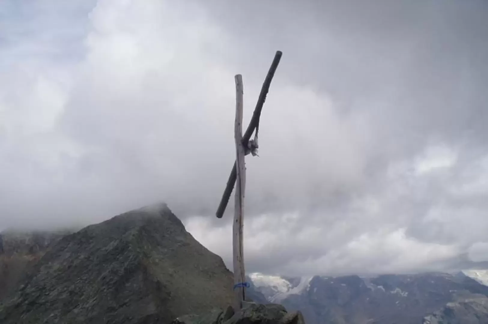
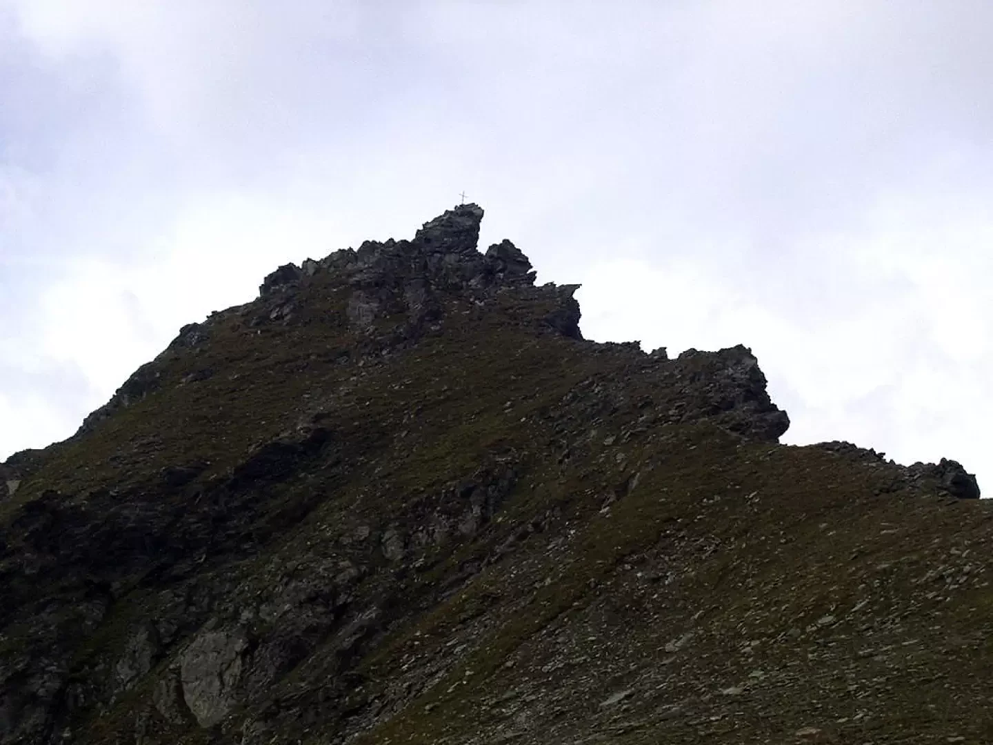
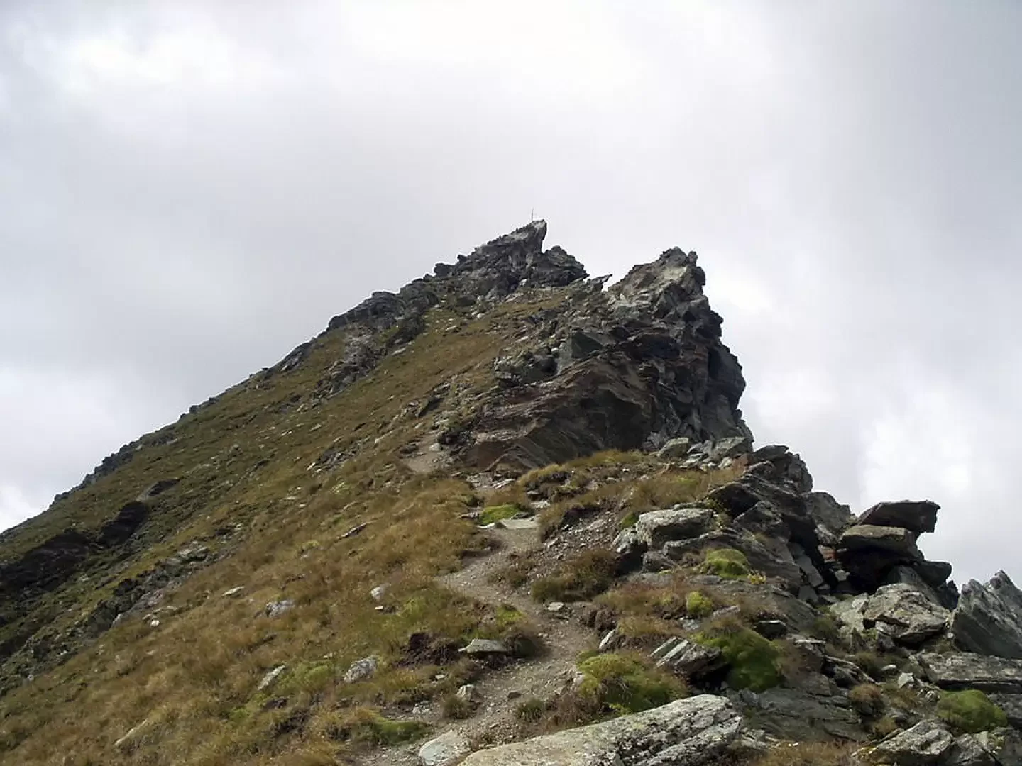
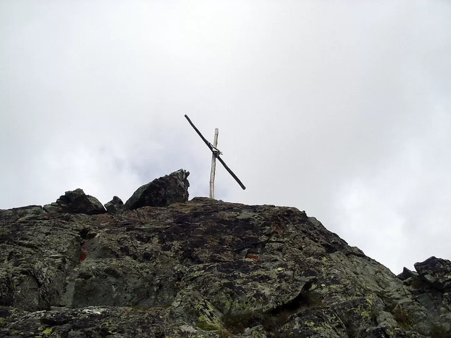
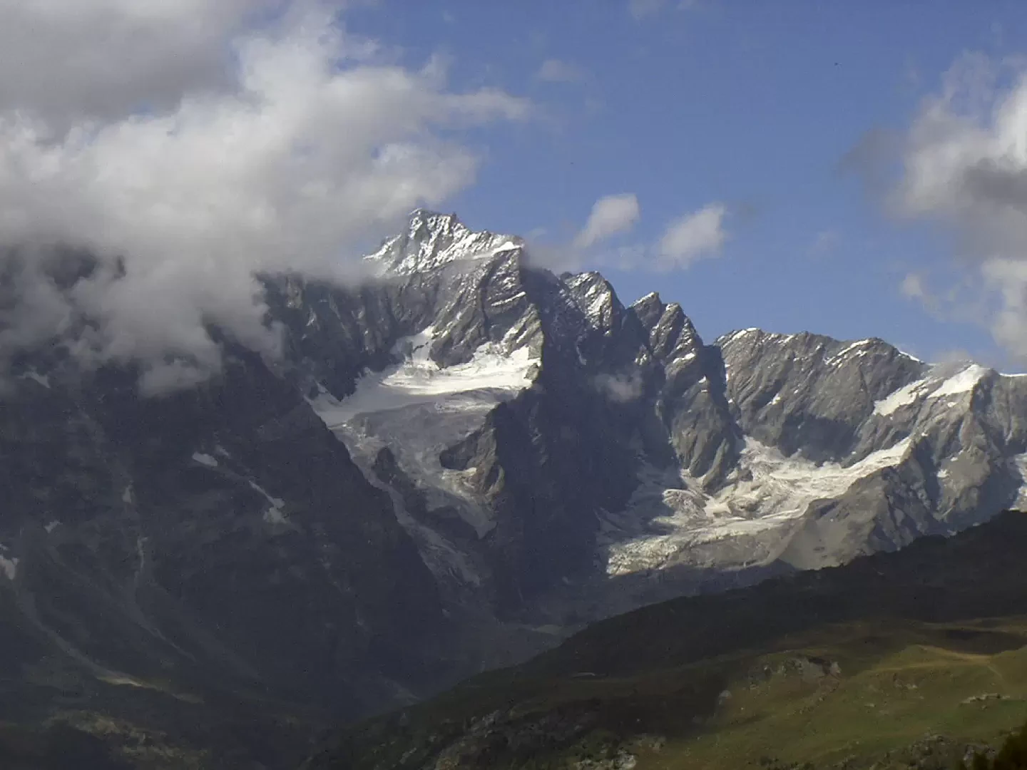
La Becca Trecaré separates the Petit Tournalin from the Bec de Nannaz. It is an excellent vantage point over the Grandes Murailles, towards the Valtournenche, and the Testa Grigia, towards the Ayas Valley. The ascent from the Col di Nana is a little tricky in the final section as you have to cross some exposed ledges. On the summit stands a rudimentary wooden cross wedged between the rocks. The final four to five metres before the summit involve Grade I/II climbing (take care).
Description
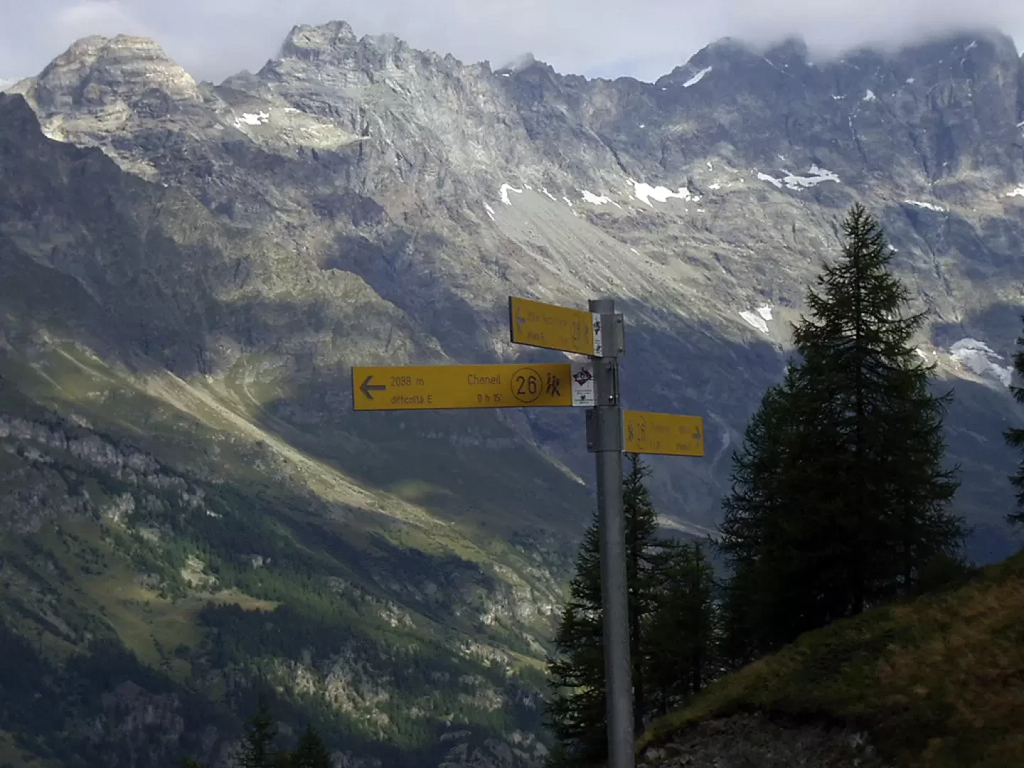
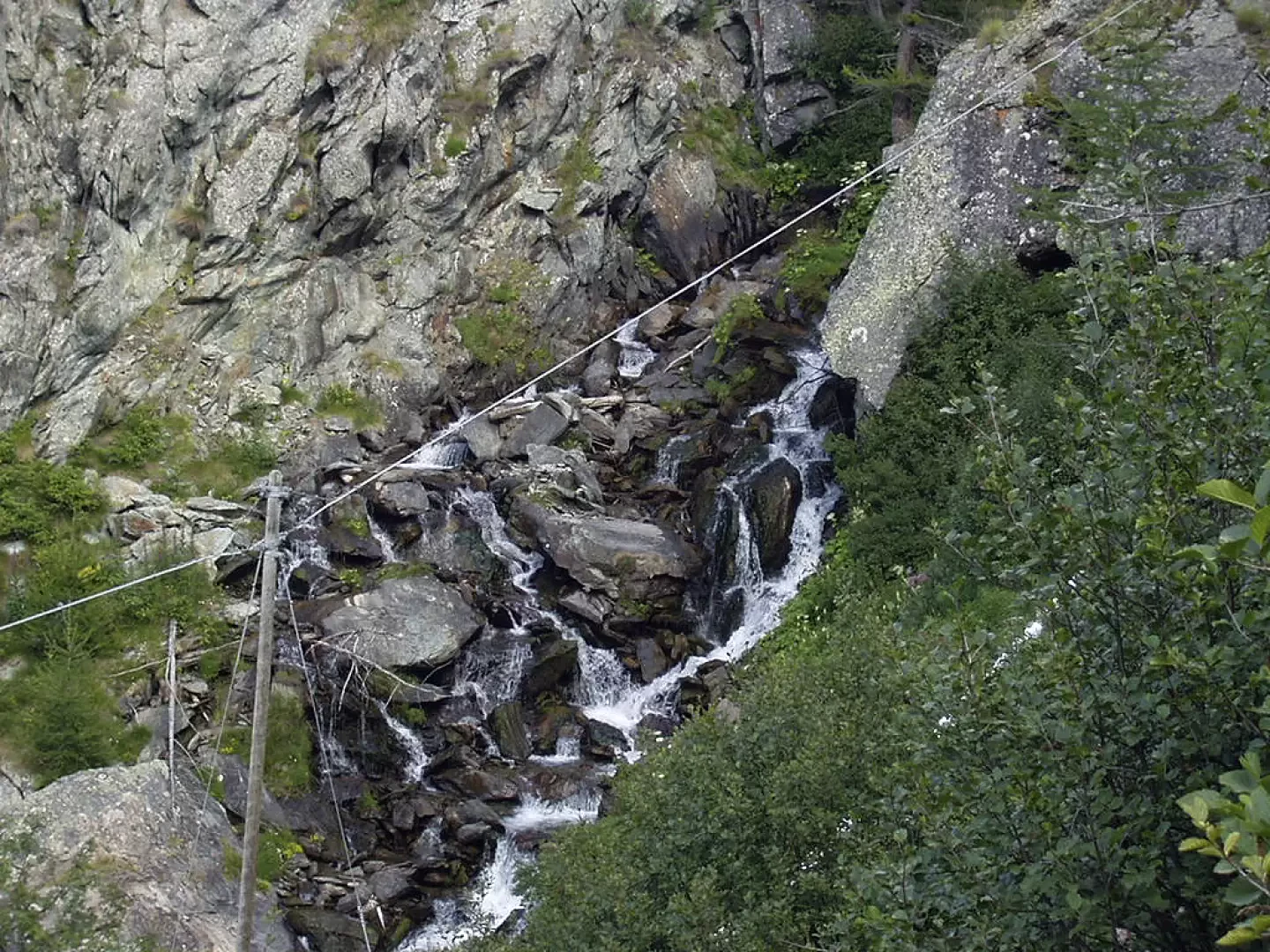
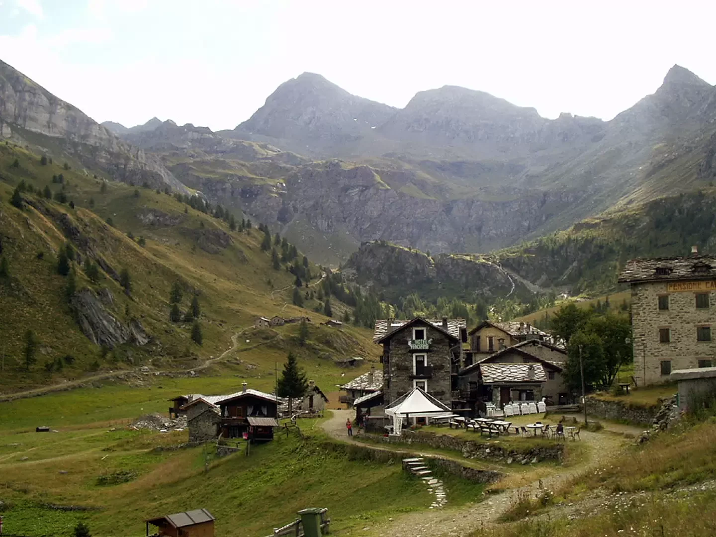
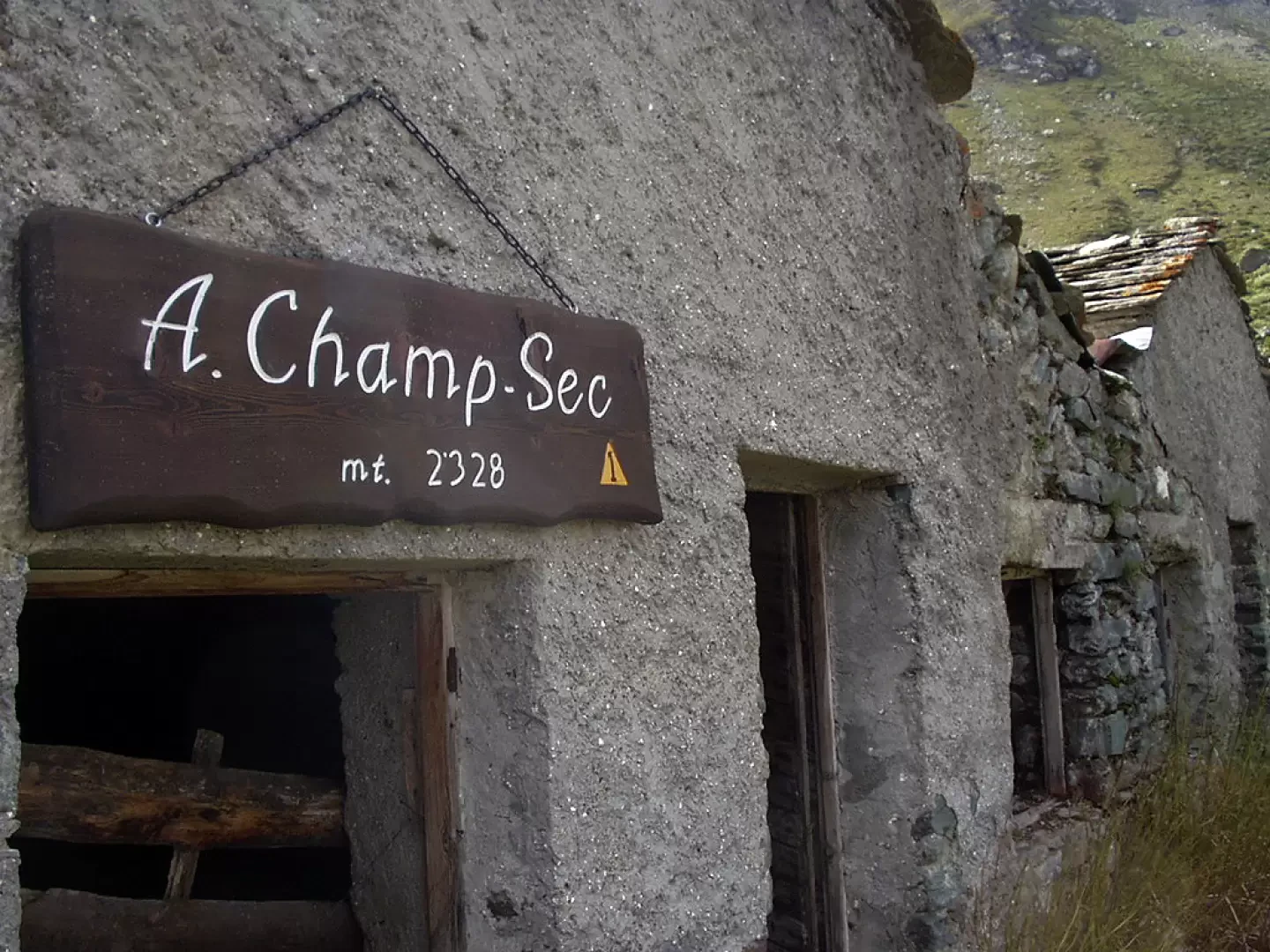
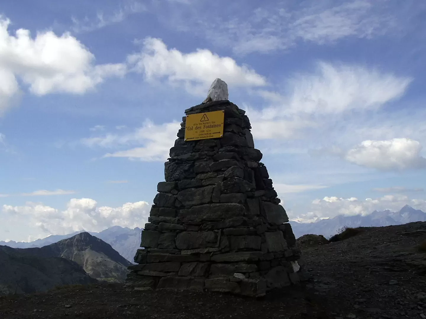
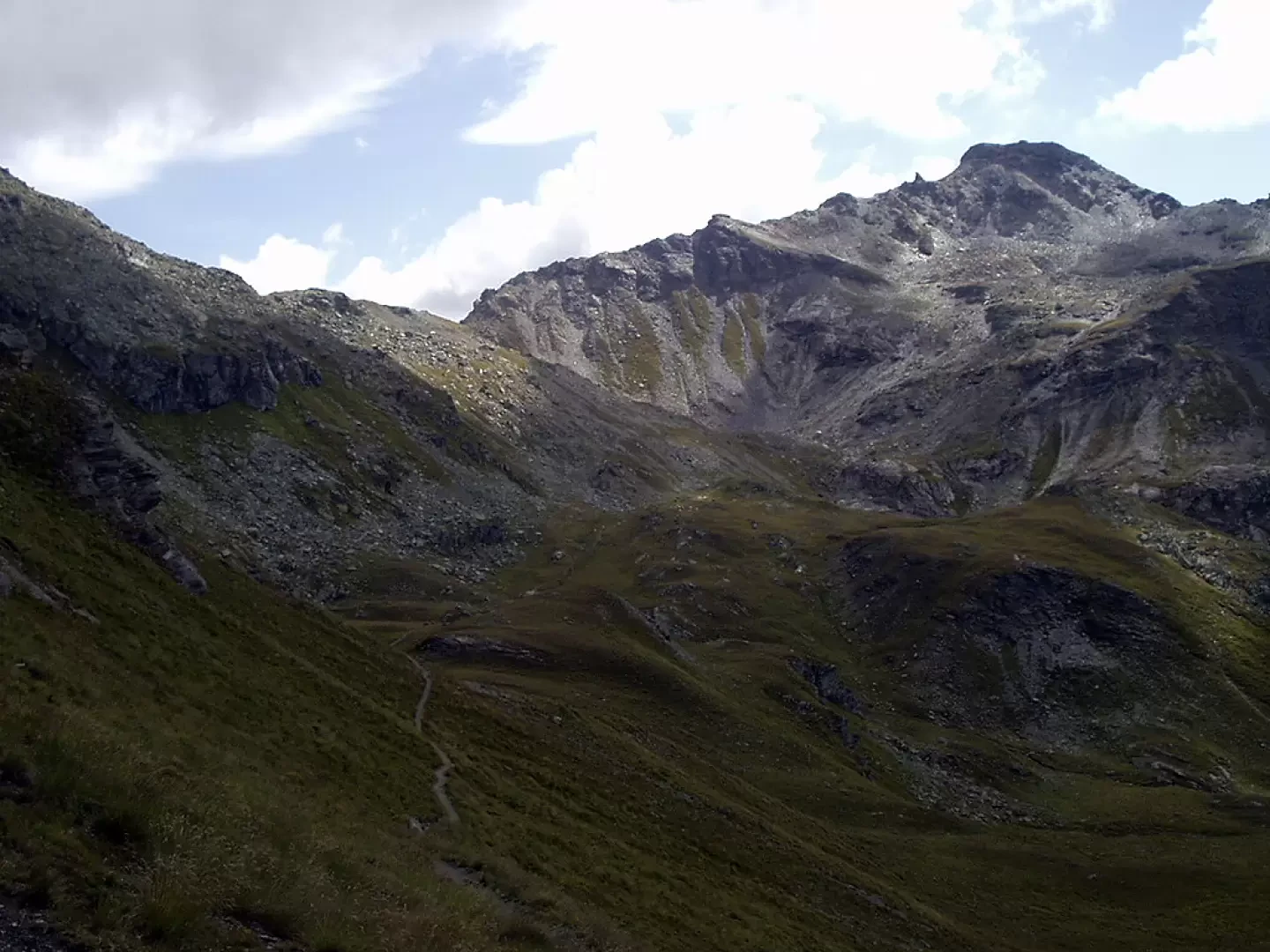
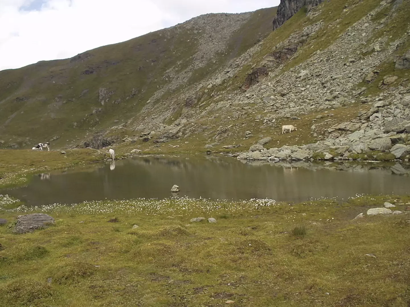
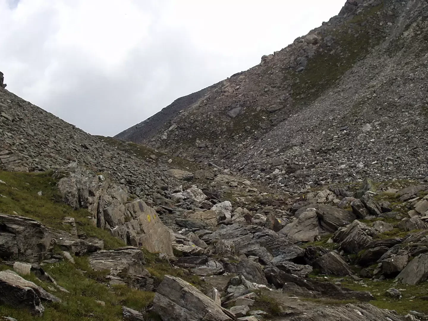
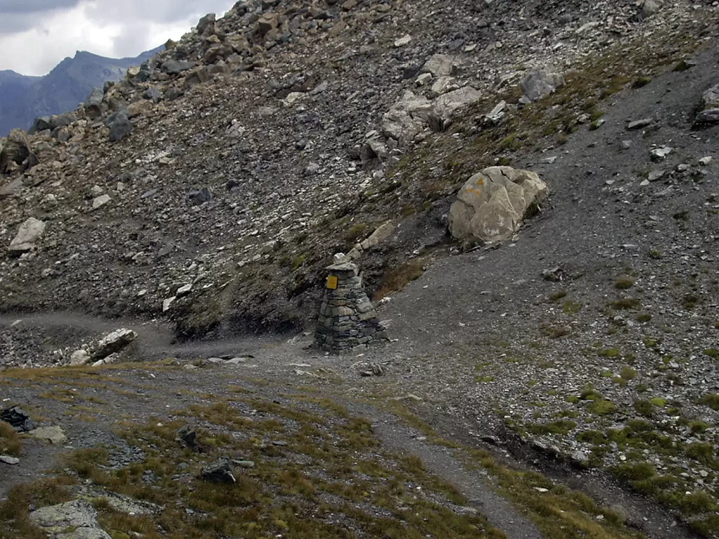
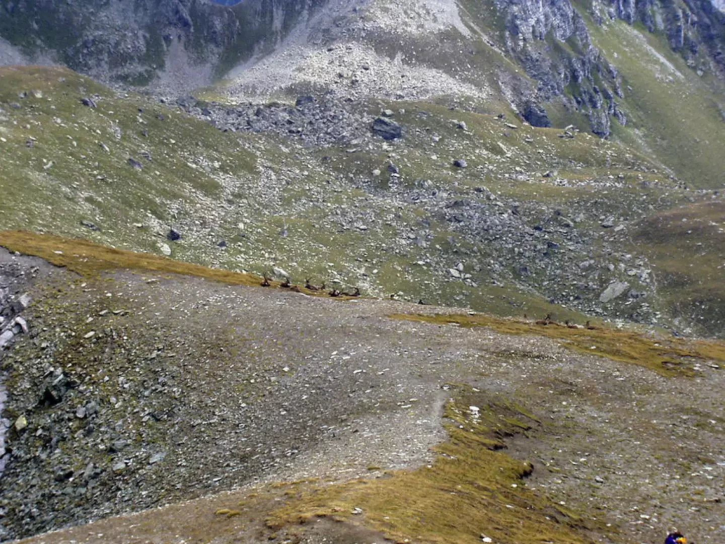
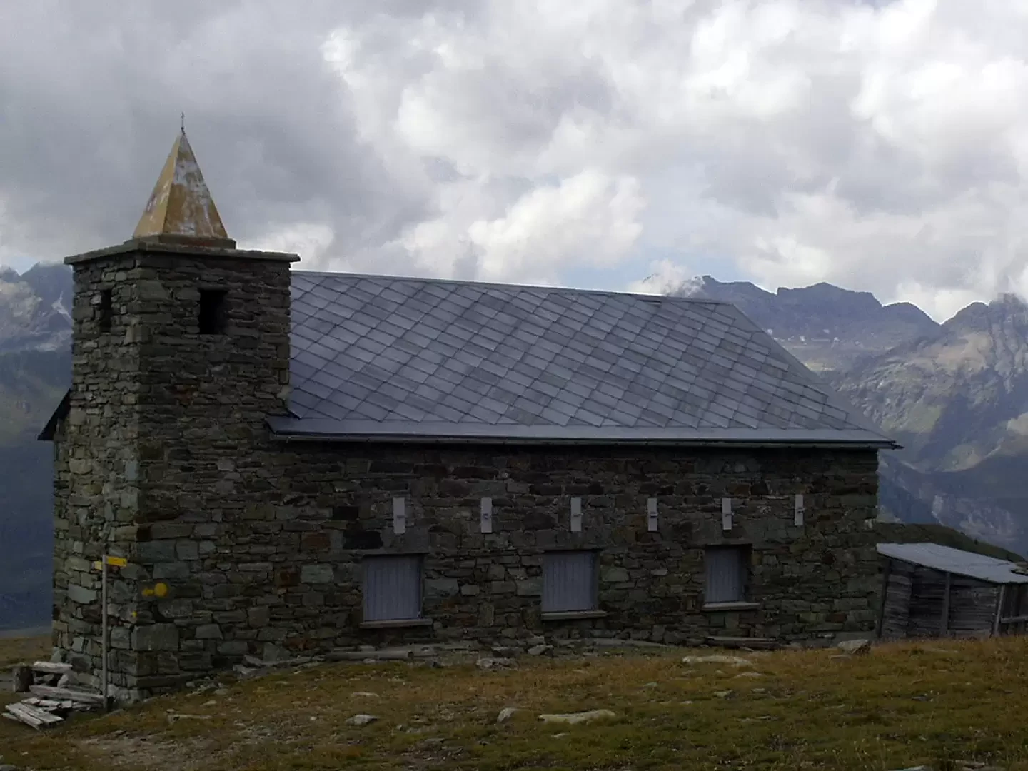
From the square, head to the right of the departure station for the small cable car serving Cheneil, cross a wooden bridge over the stream that carries the waters flowing down from the western slopes of the Grand and Petit Tournalin, and follow the winding path uphill, along a wide mule track, signposted Trail No. 26, alongside the cable car and a waterfall, to the step leading up to the Cheneil basin. Once you reach the beautiful Cheneil plateau (2105m, 0h10’), head right to reach the signpost. Follow the path, signposted AV1, and enter a sparse wood of larch and alder trees. After passing a few patches of blueberries and rhododendrons, you’ll come across signpost (31) for the Clavalité Sanctuary on your right. After a further 7–8 minutes’ walk across pastures, leave the path (29)/(30) for Monte Roisetta and the Grand Tournalin on your left and climb up to the four huts lined up on the Champ-Sec mountain pasture (2,328 m, 0h50). Winding your way up through beautiful mountain pastures beneath the northern slopes of the Pointe de Falinière (2,763m), you’ll be treated to incredible views stretching from the Matterhorn to Lake Cignana behind you. One final stretch takes you to the Passo delle Fontanette (2,697 m, 1h 45'), also known as Colle di Croux or Col des Fontaines. You now descend via a long diagonal stretch into the Chamois valley, losing forty to fifty metres in altitude, until you reach the signposted path (2) for Chamois. Shortly afterwards, the path passes by a small lake (approx. 2,650 m) and then turns left, climbing up the scree leading to the Col de Nannaz (2,772 m, 2h 20’). To the north of the pass stands the Becca di Trécare; to the south is the Bec de Nannaz; and beyond the pass, towards the Ayas valleyAyas, the Grand Tournalin Mountain Hut is visible below. Near the pass, on the left, there is a wide depression which can provide shelter during a break on windy days. You now ascend diagonally to the left along a grassy slope, then turn right and reach a grassy ledge. Another stretch through grass and scree brings you to another grassy ledge, directly opposite the Petit Tournalin (in this area it is very common to come across groups of ibex). You now follow the final ridge between steep grassy slopes to the left and the rugged rock face of Becca Trécare to the right. In some sections, the route runs along exposed ledges (take care). Once you have negotiated the final four to five metres, a Grade I/II climb, you reach the summit of Becca Trecaré (3,031 m, 3h00), where a rudimentary wooden cross stands. From the summit, there are stunning views of the Grandes Murailles towards Valtournenche and the Testa Grigia towards the Ayas Valley. The first part of the descent involves returning to the Col de Nannaz (2,772 m, 0h 25’); then, as an alternative to the paths taken during the ascent, it is recommended to descend to the small lake (approx. 2,650 m) and then turn left onto trail marker (1)/(2). After a few minutes, follow the signpost (1) to the right towards the Clavalité Sanctuary. Climbing gently through pastures, with fine views over the valley below, you will soon reach a second small lake. Continuing uphill, you go round a spur of Punta Falinière and, after a long, gently ascending diagonal stretch, you reach the Clavalité Sanctuary (2,530 m, 1h 25m). The view of the Matterhorn and the Grandes Murailles is superb. You now descend along the track, go round a small hilltop where an anemometer is situated, and reach a clearing. Here, turn right, following trail marker (31), and, winding your way through rhododendrons and blueberries, descend to rejoin the path you took on the ascent.
Places of interest
Cheneil
Col des Fontaines
Col de Nannaz
Becca Trécare
Collections
hikes starting from the La Barma car park | list - map
Bella giornata dopo una perturbazione. Nuvole di passaggio poco preoccupanti, aria fresca, a volte fredda.
Siamo partite da Cheneil e arrivate in vetta dopo due ore e mezza. Il ritorno è stato effettuato raggiungendo il santuario della Clavalité e percorrendo tutta la crestina (segnavia 31) fino al colle Cheneil. Il sentiero 107 ci ha riportato alla partenza in breve tempo.Bella giornata dopo una perturbazione. Nuvole di passaggio poco preoccupanti, aria fresca, a volte fredda.
Siamo partite da Cheneil e arrivate in vetta dopo due ore e mezza. Il ritorno è stato effettuato raggiungendo il santuario della Clavalité e percorrendo tutta la crestina (segnavia 31) fino al colle Cheneil. Il sentiero 107 ci ha riportato alla partenza in breve tempo.


Comments (0)
Sign in to leave a comment