Becca France, from Vétan


Edited by:
Giancarlo Beretta
Updated at: 04/05/2025
Access
Leave the motorway and, after 450m, leave the motorway junction turning right onto the regional road for the Cogne valley. After 400m at the roundabout, take the second exit and enter the state road , to be followed for about 3km, passing through the village of Saint-Pierre, until you reach the village of Luboz. Turn right onto Via Corrado Gex (to be followed for 300m) and then turn right onto the regional road to be followed for about 7.7km until Saint-Nicolas and, just beyond the main centre, a crossroads: continue straight on the regional road following the signs for Vétan. When you reach Petit Sarriod, leave the regional road and turn left. Follow the communal road through the villages of Person, Grand-Sarriod, Gerbore until you reach, after 4.2km, Vétan and the large car park at the end of the road.
How to get there with GMaps
How to get there with Apple Maps
Introduction
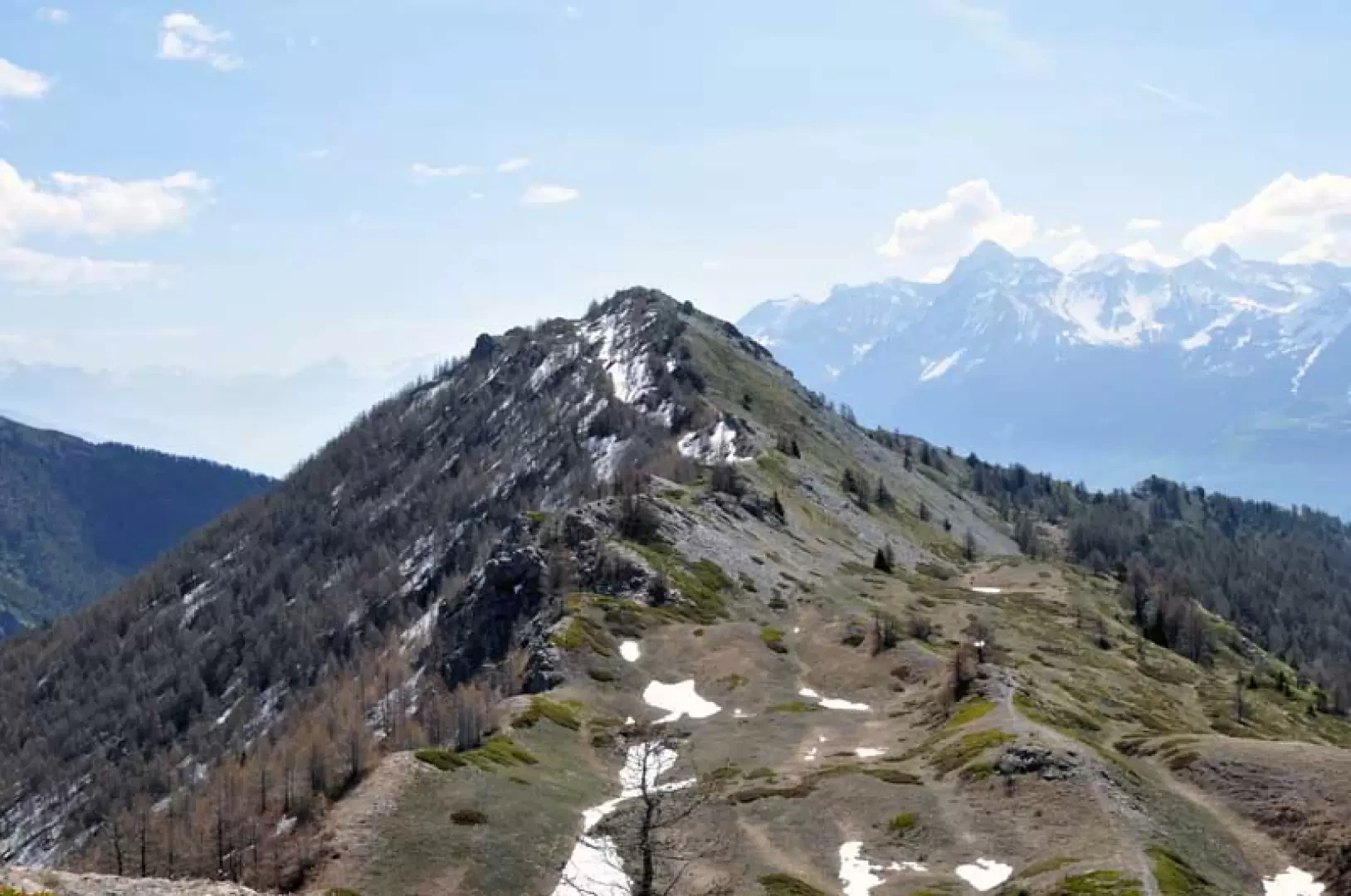
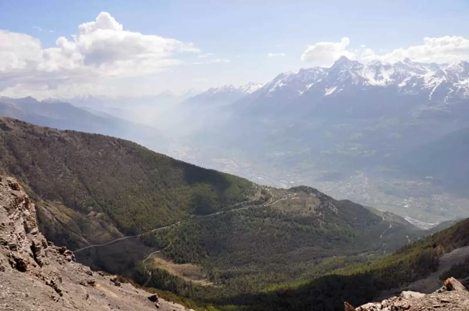
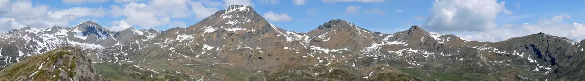
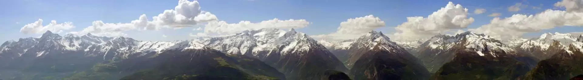
This hike reaches a peak that, like a pulpit, juts out almost suspended above Sarre and allows us to have a magnificent panorama of all the Aosta Valley peaks in the central valley, starting with Emilius and Grivola, which we face to the south, and going all the way up to turn our gaze in every direction to see the exceptional number of peaks surrounding us. Its ascent takes place on a series of paths that start from the verdant pastures of Vetan to change valleys and then climb up gentle grassy undulations that lead us to the easy final crest; given the isolation of the peak with respect to the main mountain chain, we must consider a bit of a displacement, a little more than 12 km, but this allows us to have a route that is never monotonous.
Description
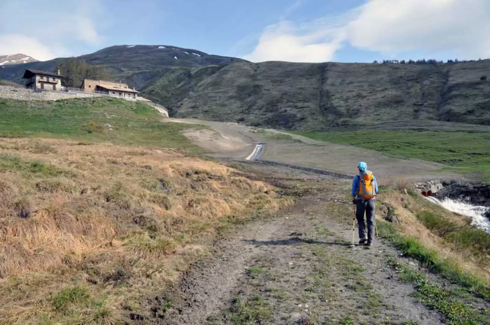
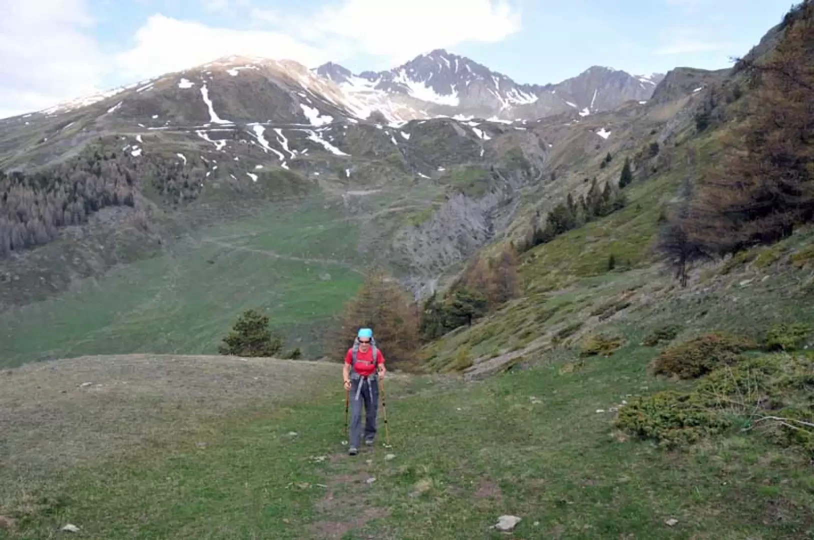
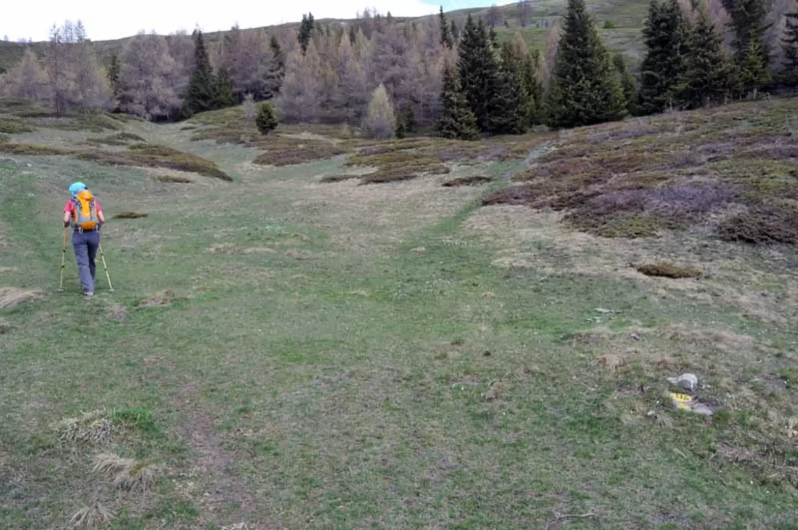
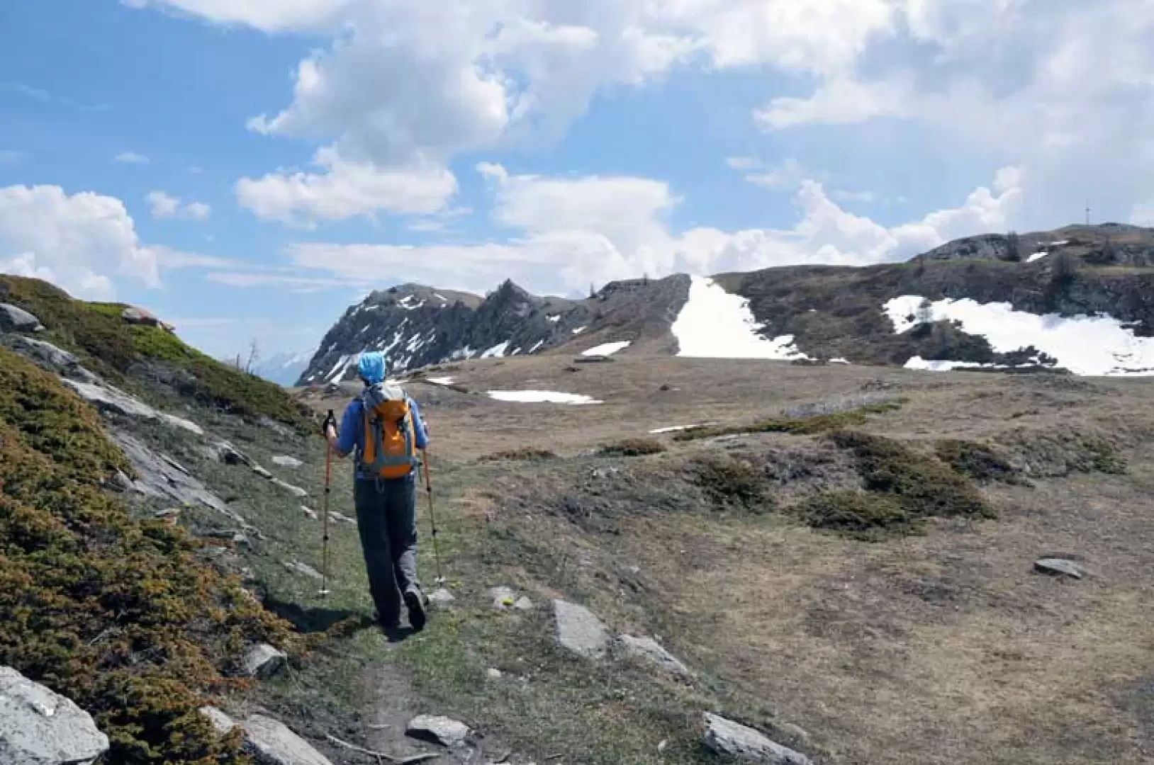
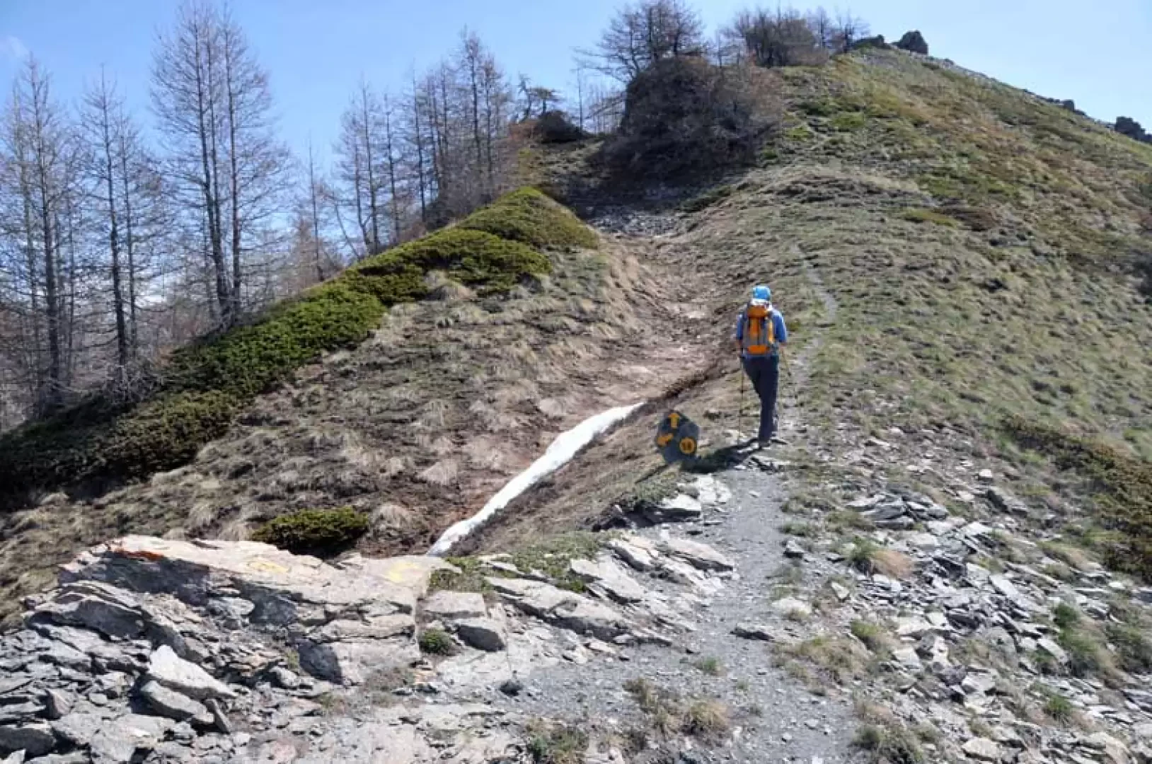
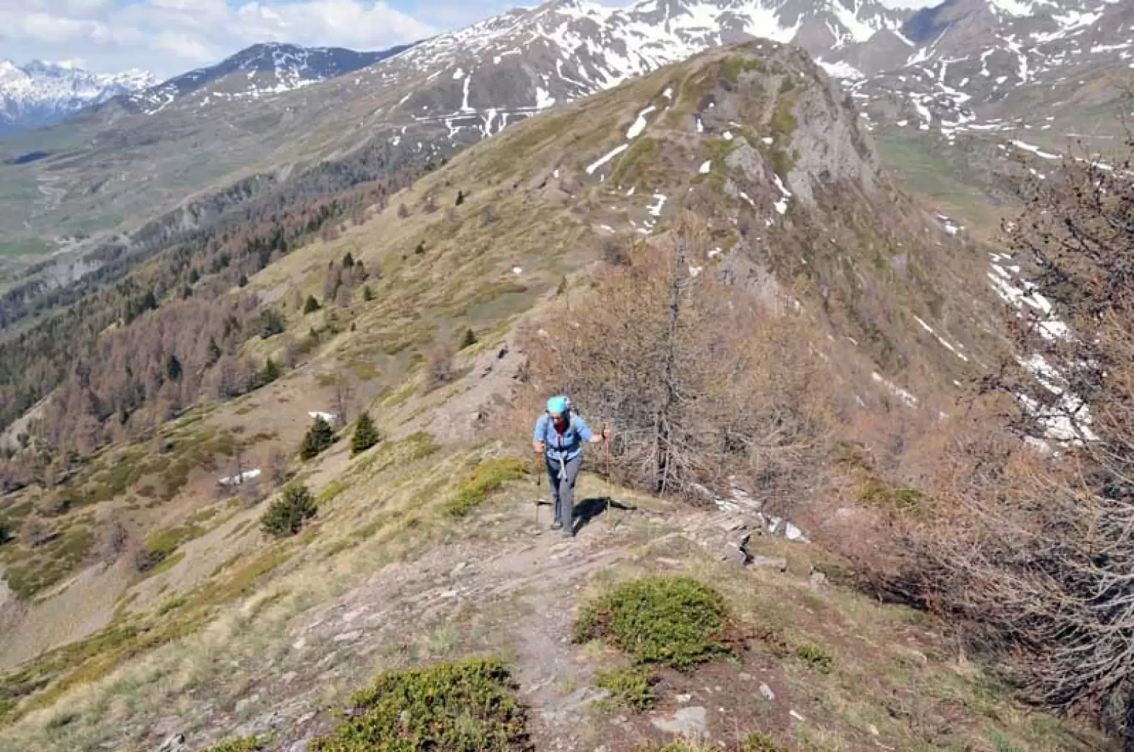
From the bottom of the parking area, turn right up the meadows, passing to the right of a grassy knoll topped by a wooden post, and climb up the track that rises gently between the pastures, skirting a stream until it crosses a track coming from the left just below the Thoules mountain pasture (1892 m). The path continues to the right, passing a junction marked by markers, and, turning into a wide mule track, goes around a first wooded spur and, having passed a stream, goes around a second one, entering the Verrogne valley; having reached the stream that descends into its centre, go up a few metres to reach the Loé alpine pasture, where the markers (1994 m) are located on the left. A fairly steep path branches off from these and arrives at a panoramic grassy shoulder, which you follow by deviating slightly to the left and, crossing an area of low vegetation on a slight incline, you reach a junction with a path coming from the right (2137 m); Turning left, you cut across the side of the mountain until you come to a grassy knoll topped by a metal pole that serves as a weather station and, after another short stretch of the path, you come to a fork signposted by yellow marks on a stone (2277 m). Now we walk along the winding grassy undulations that, with a few ups and downs, lead us to a more imposing hump (2355 m) surmounted by a small stone cairn and a wooden pole that is the antecedent of our destination, even though it is higher in altitude. We descend steeply from this ridge, arriving lower near a collar to cross a track that we leave to the right (2231 m) from which, following some small undulations, we arrive at the base of the final ridge. We begin to climb it again with a short steep section that quickly takes us to the ridge, on which the path goes around a few rocky outcrops and where we find another fork with a path coming from the left (2258 m) from which we soon reach the panoramic summit cross.
Photo gallery
Comments (0)
Sign in to leave a comment