Becca di Viou, from Valpelline


Edited by:
Giancarlo Beretta
Updated at: 03/09/2024
Introduction
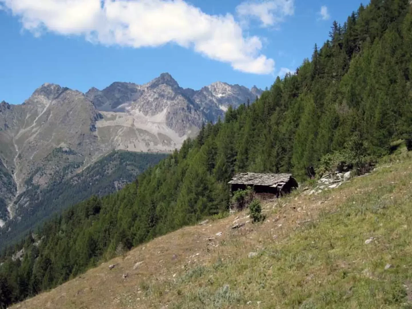
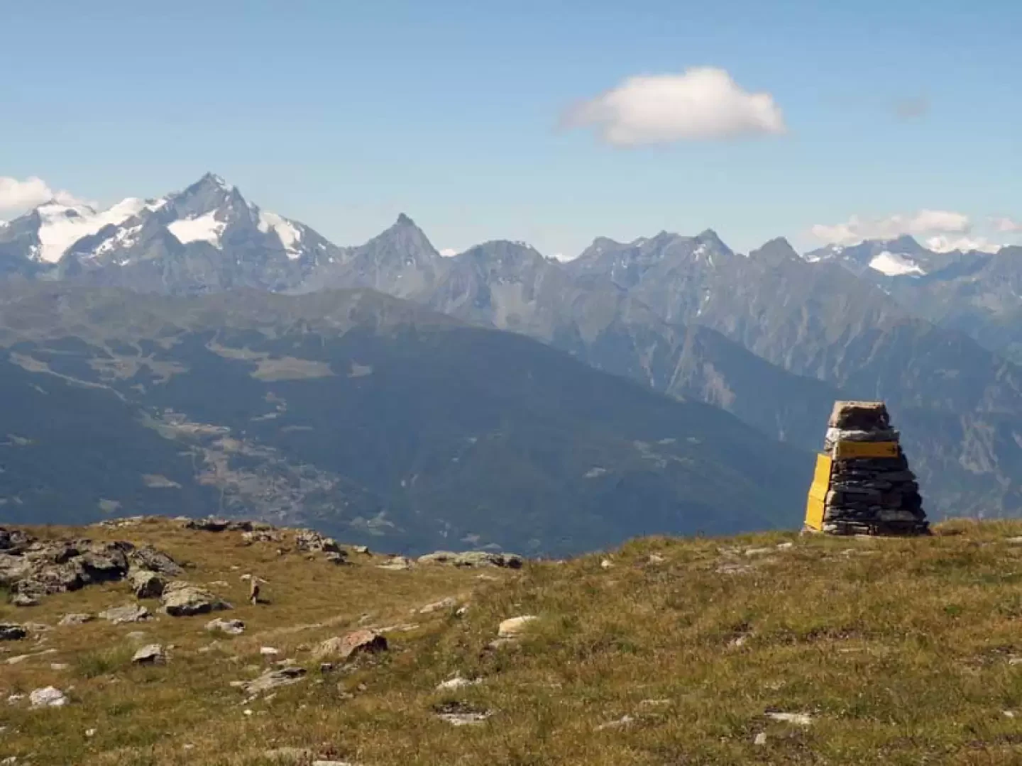
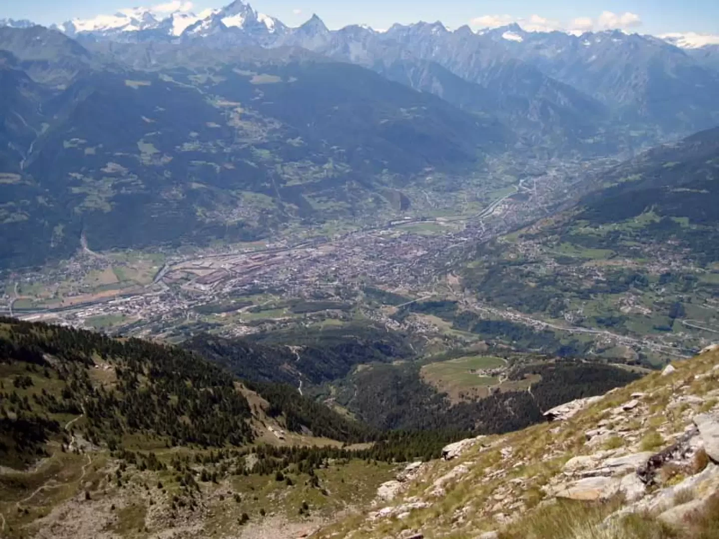
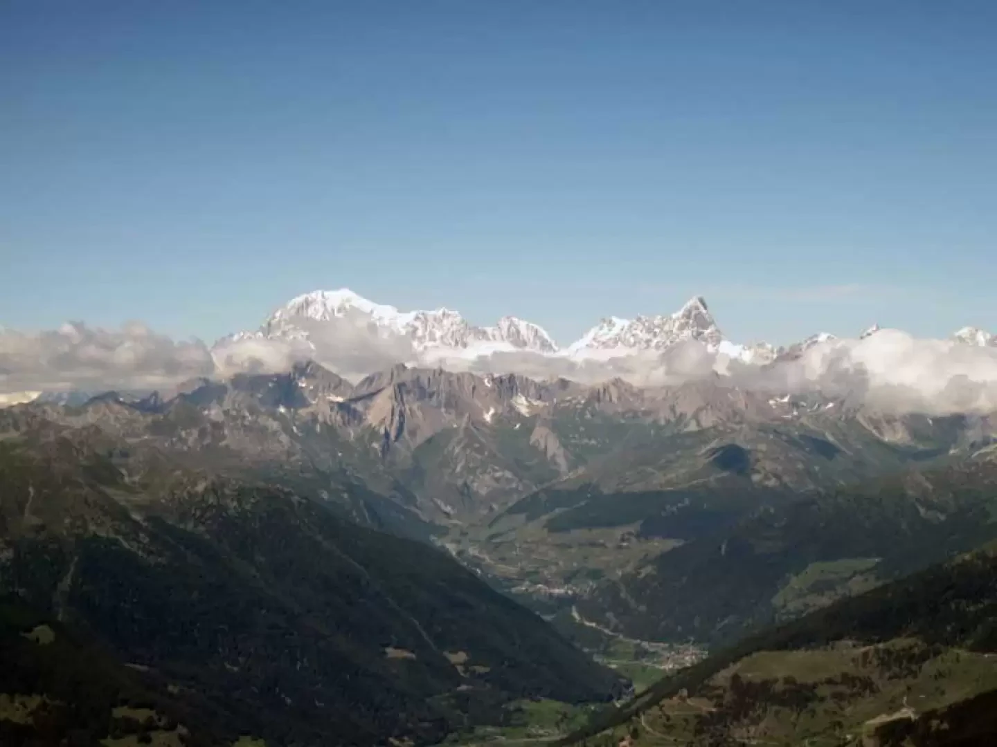
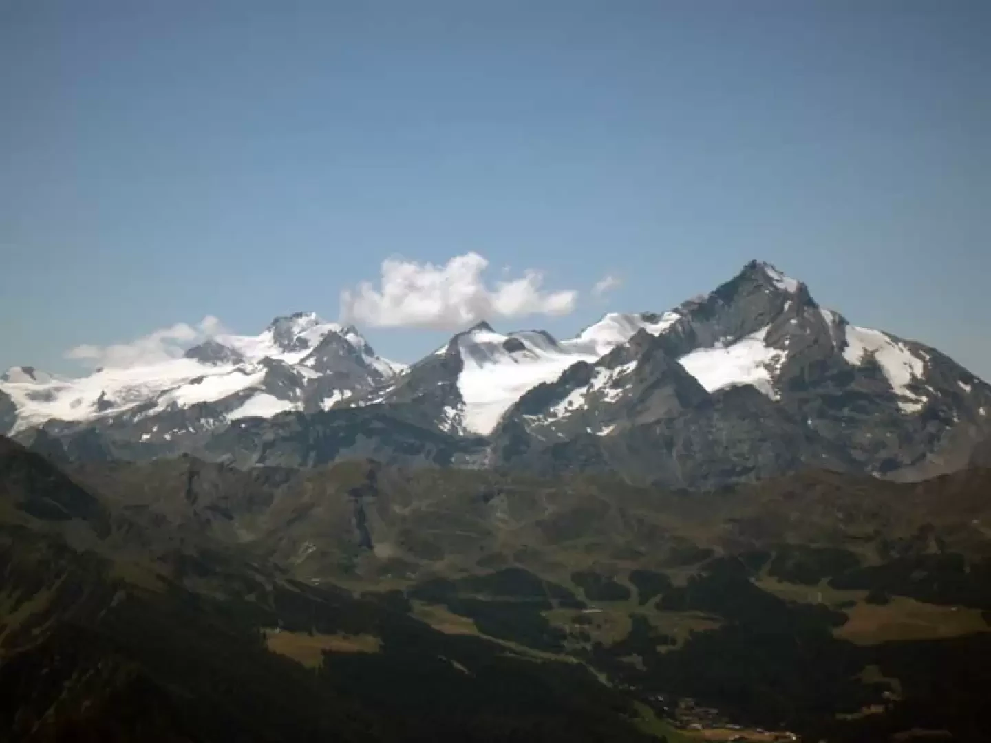
The destination of this excursion, which is long and has a considerable difference in altitude, is a peak usually reached by the path coming from the opposite side from Blavy, while ascending from Valpelline, and precisely because it is not very crowded, you will certainly find silence, solitary environments and alpine fauna. The environments traversed start from the beautiful coniferous forests of the lower part and then move on to the old alpine pastures with their green meadows, before arriving at a beautiful morainic lake with the stony areas that characterise the final part of the itinerary. The route is always well marked except for a few slightly faded markers and a few tracks that for short stretches get a little lost in some pastureland. The magnificent 360° panorama from the summit nevertheless repays the great effort and includes, in addition to the spectacular view of the city of Aosta and the upper central valley, the countless peaks of the Italian pre-Alps and Alps and, a little further in the distance, those of Switzerland.
Description
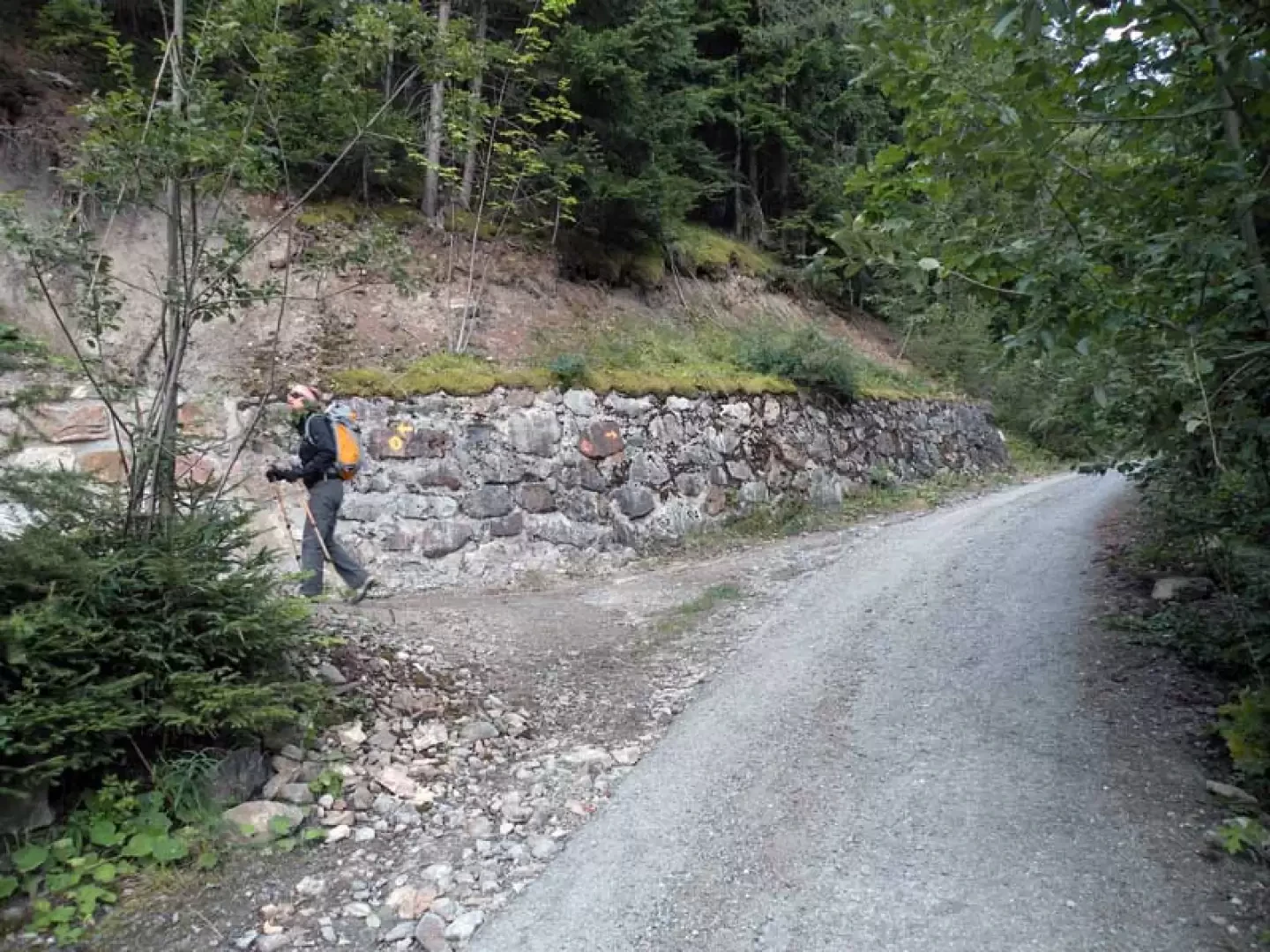
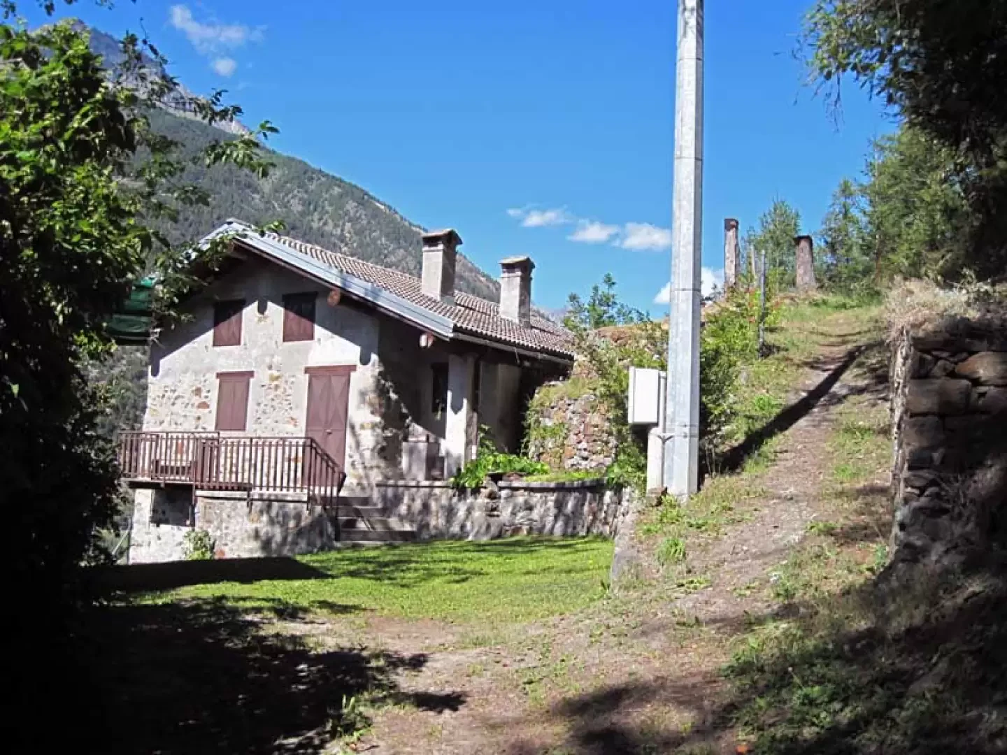
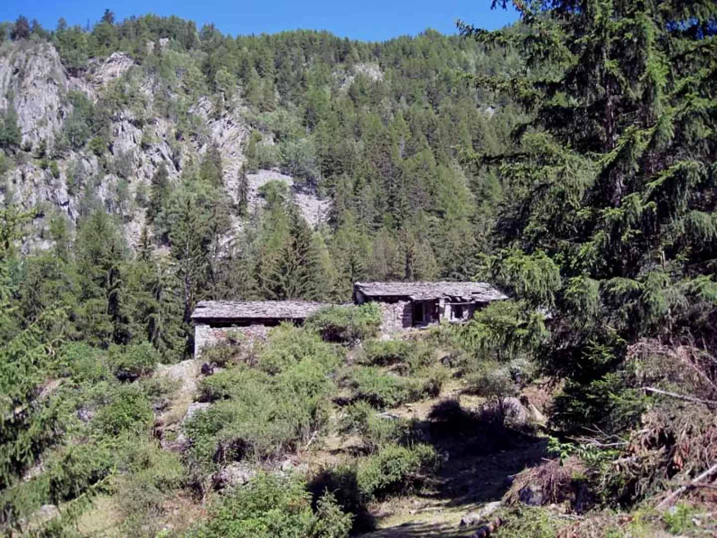
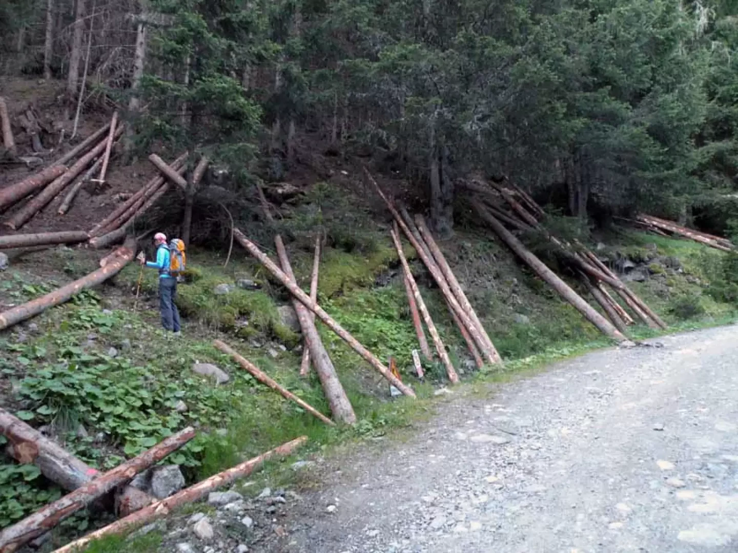
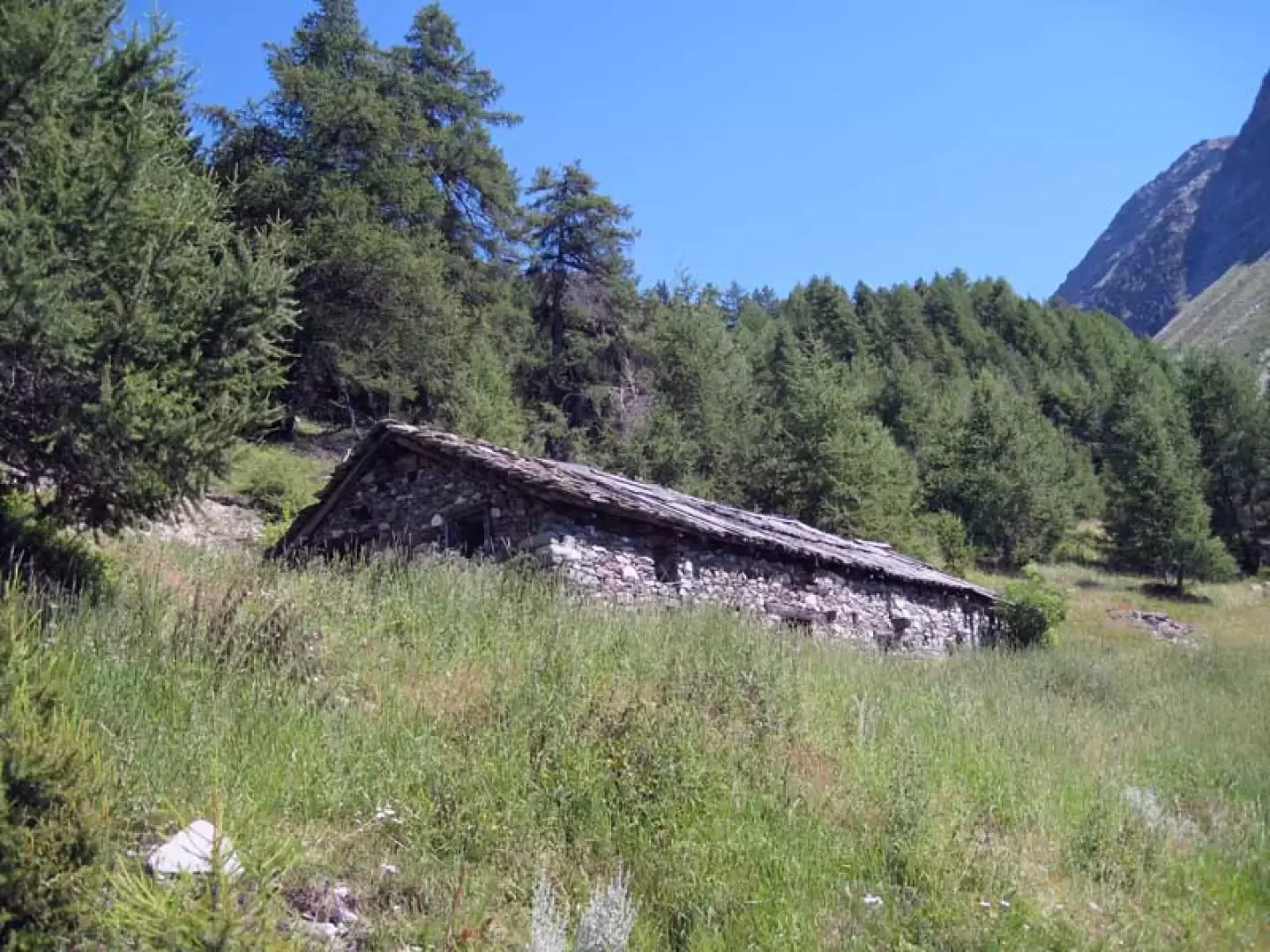
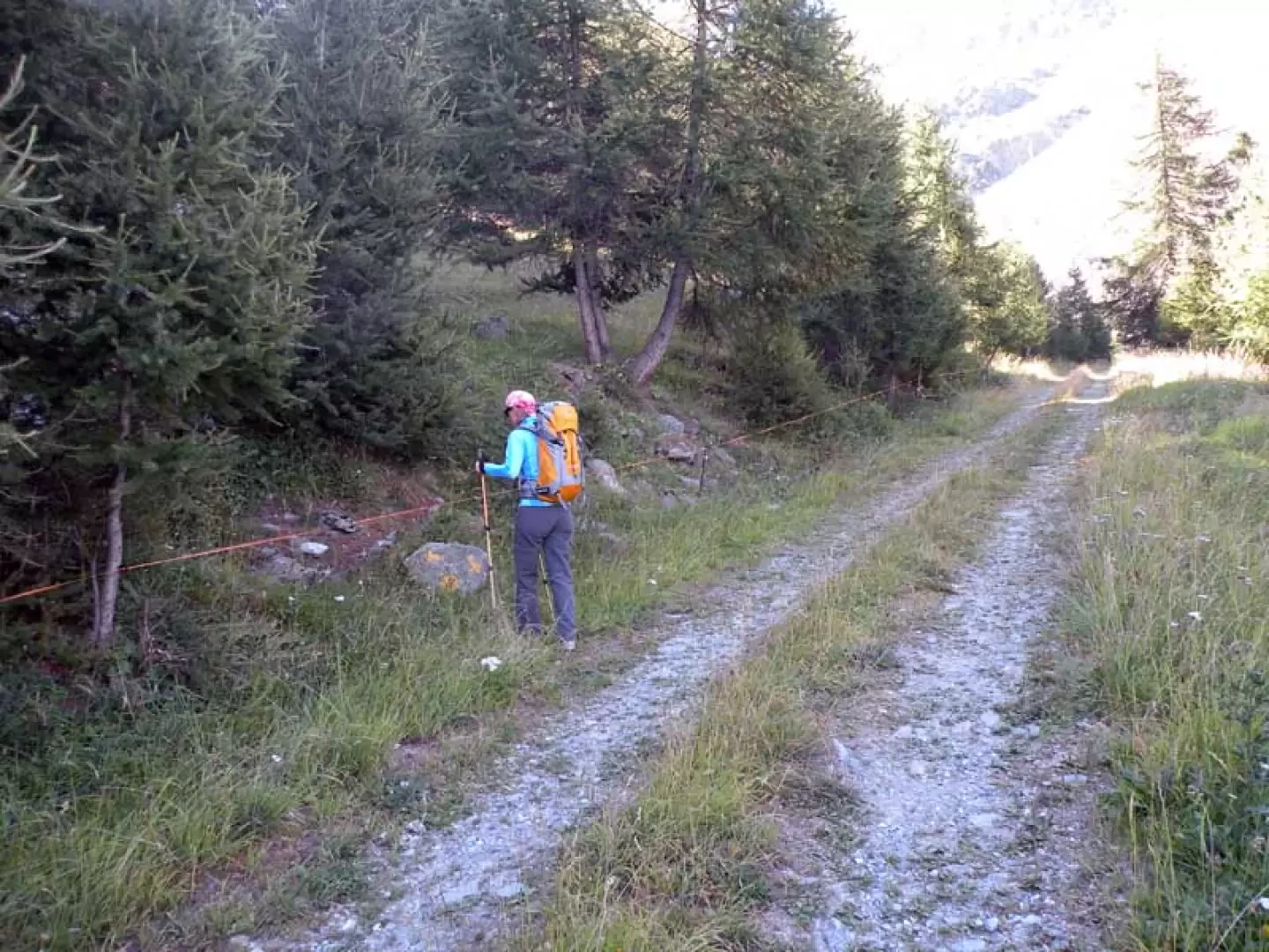
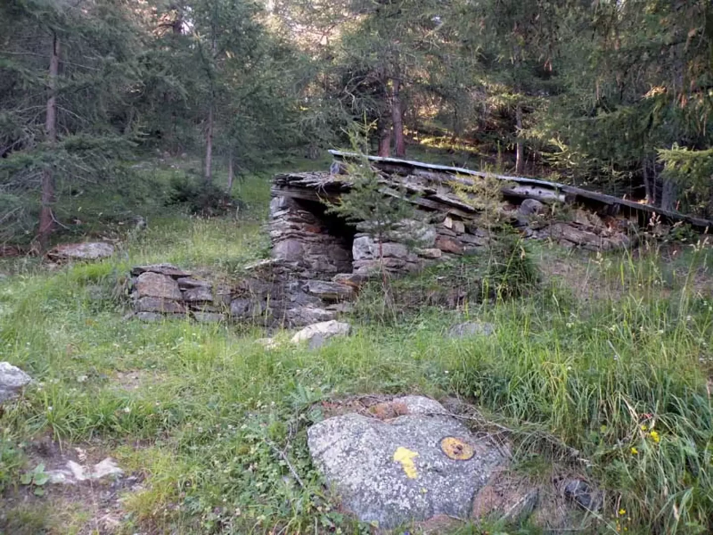
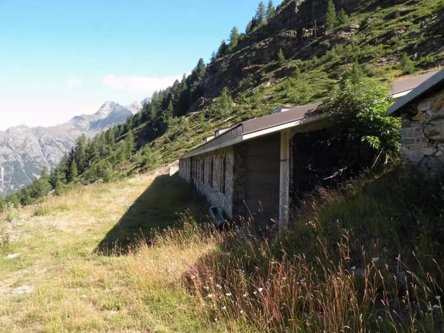
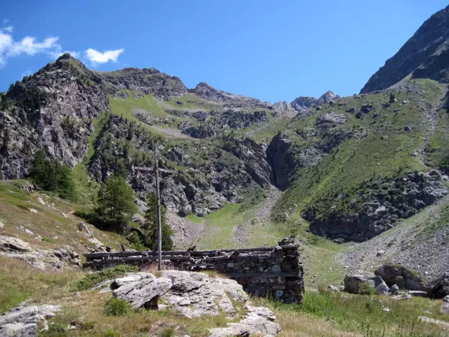
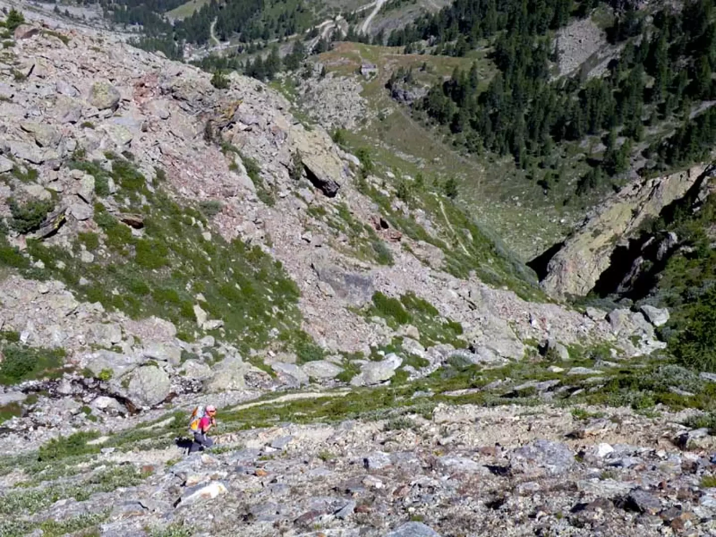
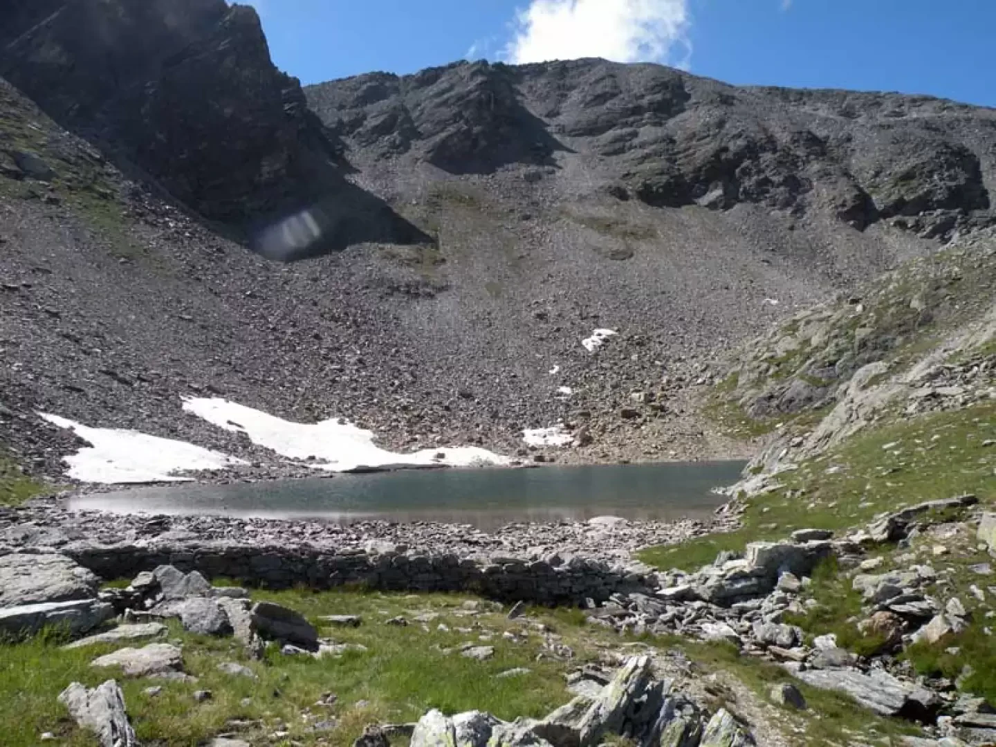
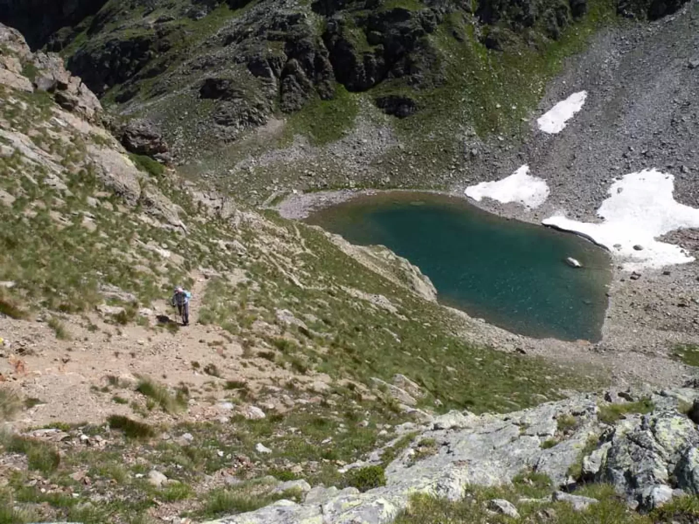
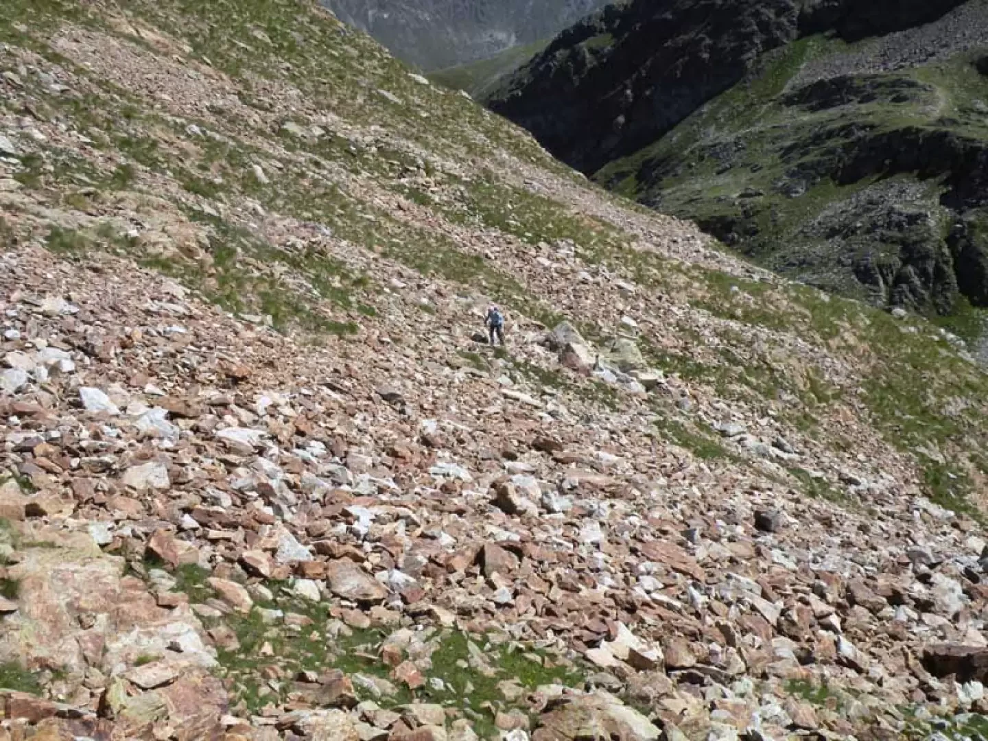
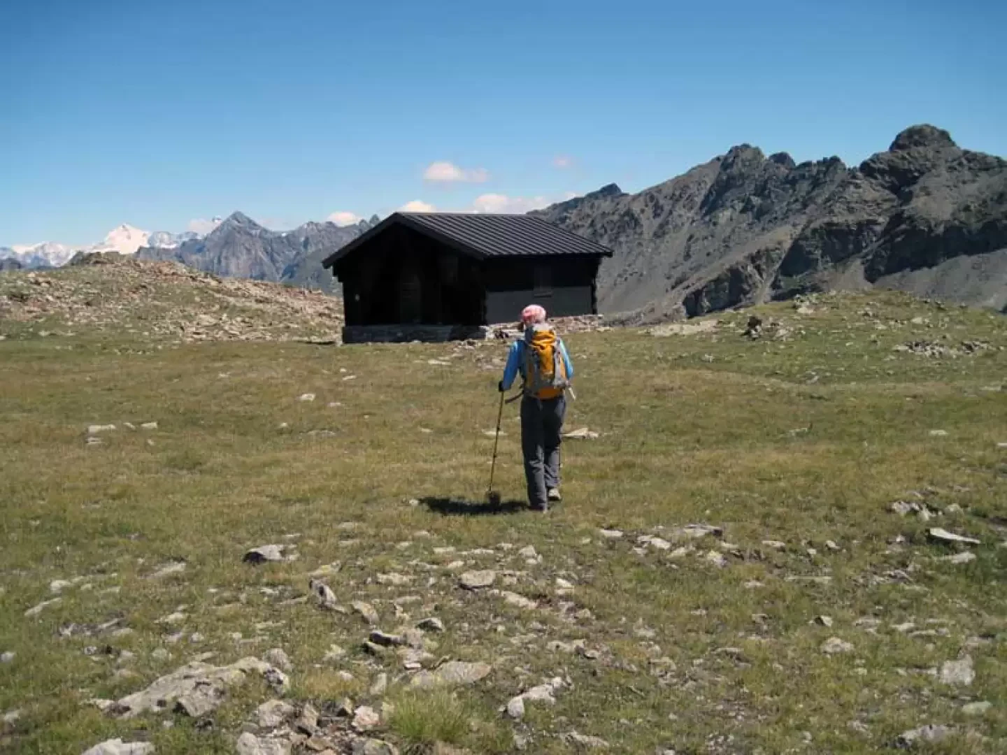
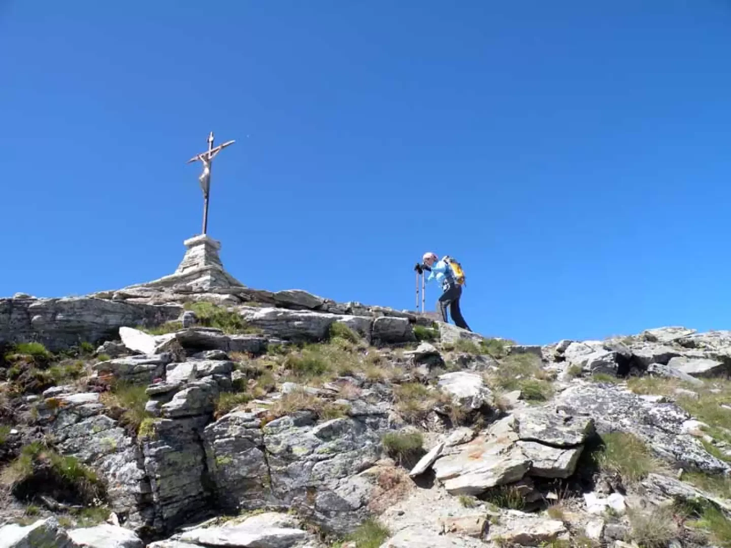
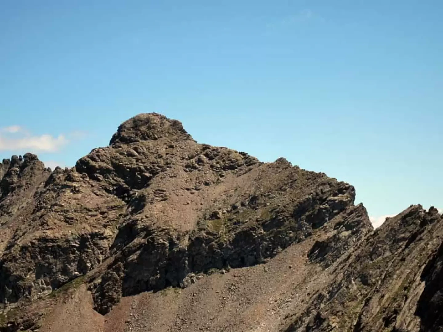
From the car park, continue along the road slightly downhill until you come to a bridge on the right where there are signs for the start of the excursion; cross the bridge and climb up the small grassy hump opposite where, after a few steps to the right, you will find the start of the path marked by a yellow marker on a rock to the left. After a short distance, you cross a road (1105 m) where you walk for a few metres to the right, immediately finding a fork signposted by yellow markings on the retaining wall (1115 m) at which you climb to the left; you pass a short distance from a hut to arrive just above Ronceaz (1131 m) to the right of which the path rises up that enters the beautiful coniferous wood and which, with numerous hairpin bends at a fairly sustained gradient, arrives at the crossroads with the farm road (1496 m). Walk for a short distance on the road, passing by the Les Planes chalets (1539 m), after which there is a bend to the right and, immediately after this, the path (1540 m), marked by a faded yellow marker on a stone, branches off to the left; We climb up into the forest with a few hairpin bends, cross the stream on a small wooden bridge and, quickly gaining height, arrive near the small Verney hut (1731 m), clearly visible from below, behind which are the posts indicating that we should move to the right. Climb the grassy slope again, staying mainly in the middle of it, until you come to the crossroads again with the farm track (1787 m), which you follow to the left, reaching the Arpisson hut (1845 m); Go around it on the left and, continuing for a short distance along the road, you will again find the path that, marked by a marker on a stone, starts out on the left (1857 m) and enters a small forest where you pass a small stable and then, coming out into more open spaces, go up a pasture above which you will reach the Porillon mountain pasture (2013 m). Take the dirt track that passes behind it and follow it, making a slight uphill traverse, to its end at the ruins of Fouillou (2091 m), next to which there is a post where you keep to the right; continue now, ignoring another path to the left (2103 m), approaching the head of the valley to the right of which a steep track rises up that immediately gains height with many hairpin bends and then moves with a traverse to the left. One passes a convenient rocky ledge and continues, still on a steep path, to climb the high grassy bastion above which is the basin of Lake Arpisson (2483 m) located in a detrital basin. To the right of the basin rises a fairly steep path that climbs the side of the mountain and, having ascended a vast landslide zone, reaches the panoramic Col de Viou (2712 m) ; From the pass, turn right and follow the indication of a yellow marker on a stone and take the track that, passing to the left a short distance from the Penne Nere bivouac, climbs in the direction of the wide and panoramic crest, at first grassy and then also rocky, and arrives at the summit of the Becca di Viou (2859 m) where there is a metal crucifix.
Photo gallery
Comments (0)
Sign in to leave a comment