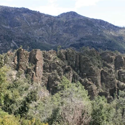
Upper Val Leone, from Agueta
Access
From the Arenzano (Ge) toll booth, turn right towards Cogoleto and then turn right past the hospital (via del Giappone). Continue and, shortly, at a crossroads turn left, steeply uphill (via Pecorara), which then becomes very narrow. At the first crossroads, go first to the left and then to the right, ascending rapidly. At subsequent crossroads, always keep to the right and park when the road widens (loc. Agueta, restaurant on the right).
Introduction
A beautiful circuit in the upper Val Leone, inland from Arenzano.
Description
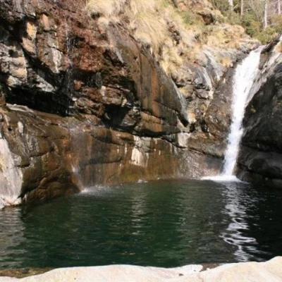
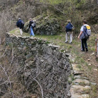
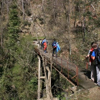
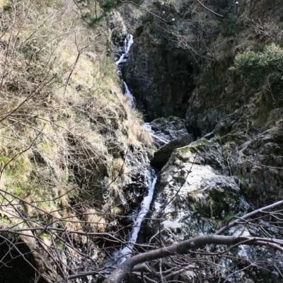
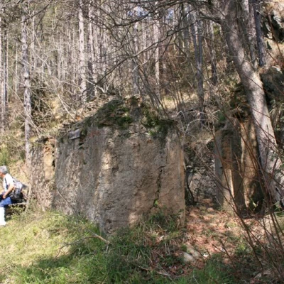
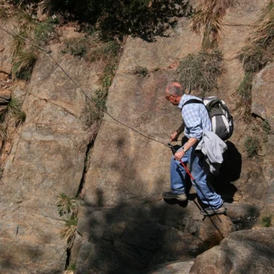
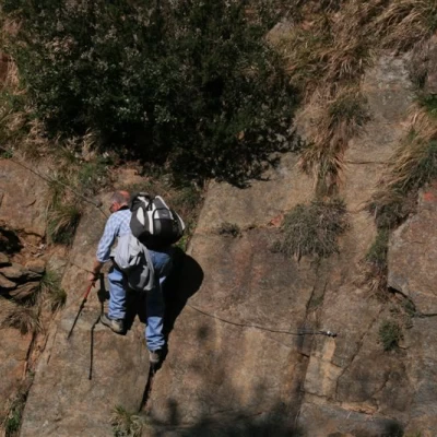
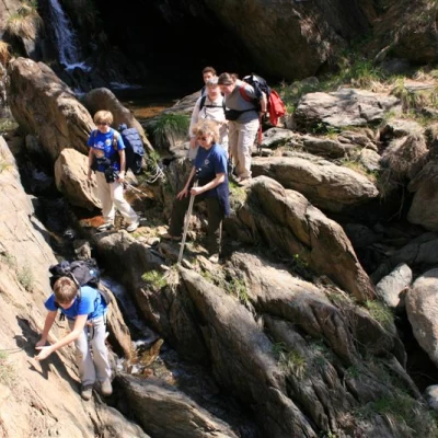
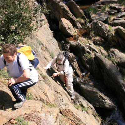
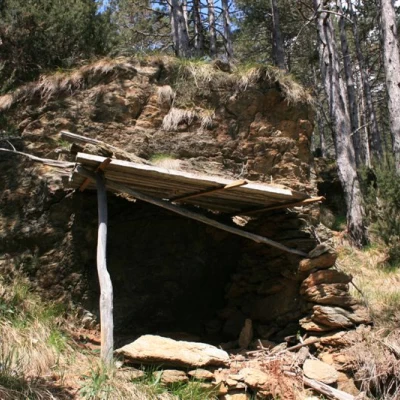
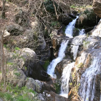
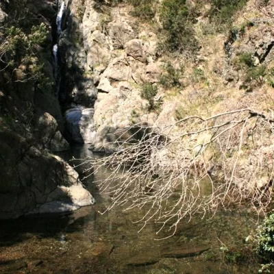
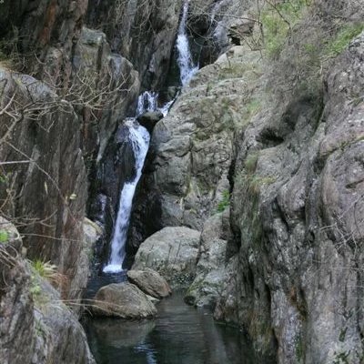
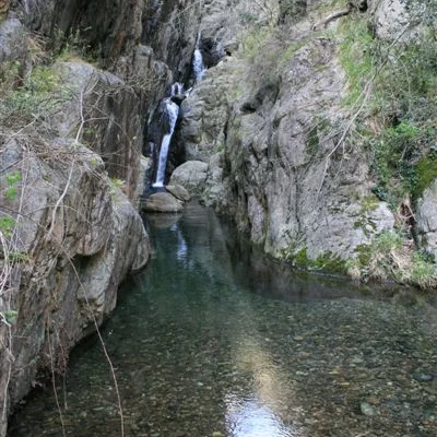
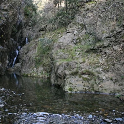
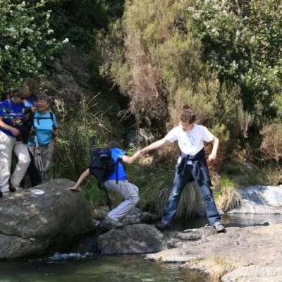
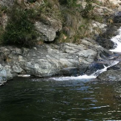
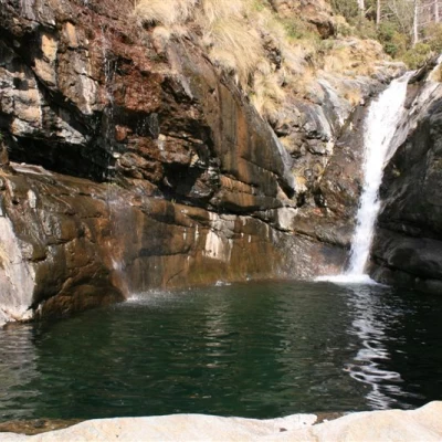
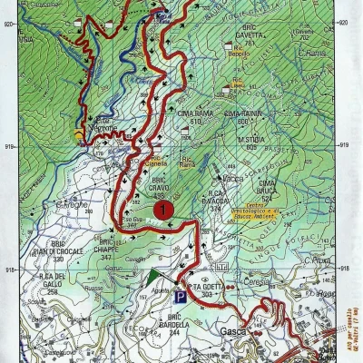
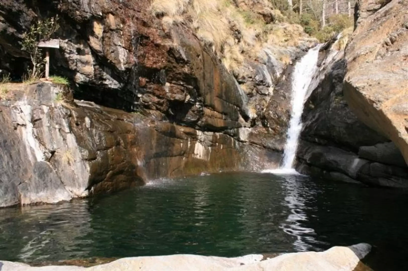
From Agueta (270m), follow the red T and from Passo Gua (348m) continue straight on uphill on the red C2, which then flattens out and crosses two bridges at Ruggi (445m - 1h20'). On the right, short branches (with great care) allow you to see two distinct waterfalls (before the first bridge and after the second). Continue and, after a while, begin to descend, but at a fork in the road, go right on the C5, which climbs and then crosses the turnoff for Sambugo (ruined house 2 minutes away), marked "panoramic bench". Continue on and cross the Guadi stream, with a section equipped with a rope (be careful), and meet another farmhouse (Azzalini). Continue on and you will find the red I, but it is worth continuing a little further to the right until the upper part of Rio Cu du Mundu (we ate here).
After Ruggi, I noticed no less than three deviations that should allow you to arrive on the red A path, which cuts across the slope higher up, but all of them seemed a bit disused...
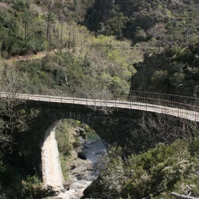
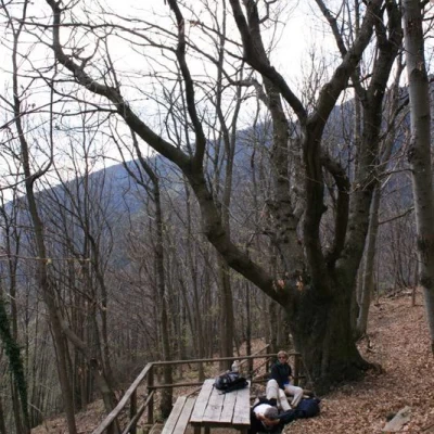
After the break, you retrace your steps and after 5 minutes descend with the red I, which makes an endless series of turns, and crosses, with some difficulty, the watercourse. Immediately a track hidden among the vegetation leads to the lower part of Cu du Mundu (again, it takes three minutes). Afterwards, you lose altitude until you reach the Negrone bridge, 165 m, (from here, two minutes to the right for more beautiful lakes). You cross the beautiful bridge and from a panel you turn left uphill to the chestnut (water) area: this is 200 metres in height difference and is the hardest climb of the day. From the area there is a spring and a remarkable specimen of a tree, about 4 metres in diameter! Another minute and you arrive on a level path. To the right, you head straight back towards the cars, but to the left (on the level) in about 20 minutes you come to a new obvious ford... you don't cross, but climb right up to the last puddle: the Tina Lake (336 m) is over 6 metres deep. In the quieter pools, it is easy to spot large toads. After the stop, we retrace our steps until we reach the Gua pass and, with the morning road, the cars
Comment: Nice tour with lots of water but only one spring. We left by 10.15am and got back to the cars a little before 18h, but we went very very slowly, enjoying everything and with a few breaks... The signposts in some places are not really obvious, but there are some panels from the forks. The signposted detours are not really paths and you need to have a bit of an attitude of adaptation... The ones not to be missed are to Cu du Mundu on the lower part (the approach trail is not very visible) and from the Negrone bridge (very easy).
General information
Signposts: T, C2, C5, I, no symbols, C2, T (all red)
Type of route:partially circular
Recommended period: February, March, April, May, October, November (spring and autumn are the best periods, due to the low altitude the hottest periods are not recommended)
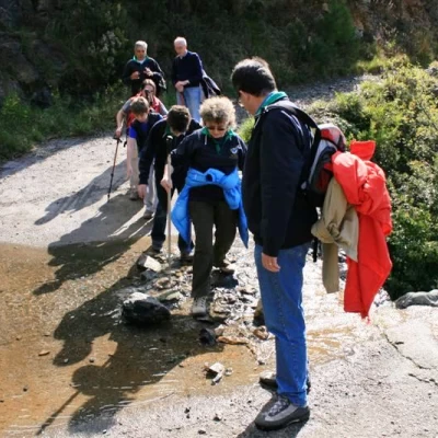
Objective Danger: beware of fords
Sun exposure: south
Water:source at the chestnut area
