Alpe di Claino, loop starting from the Rescia Caves


Edited by:
Paolo Erba
Updated at: 06/05/2026
Access
From Milan by motorway to Como nord then follow signs for Menaggio. From here go in the direction of Porlezza. Once in the village turn towards Claino con Osteno, just before the village is the Grotte di Rescia campsite where the route starts.
Introduction
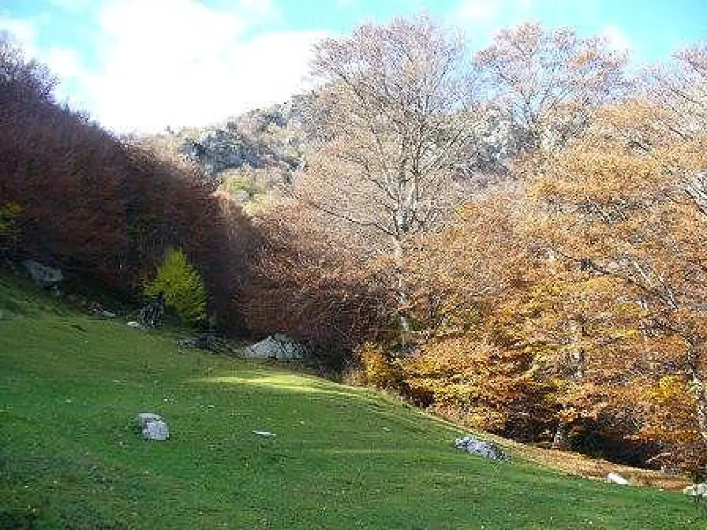
Interesting itinerary in the Intelvi Valley.
Description
From the Rescia caves, go up the tarmac road to the houses and here take the reforested track that goes up to the left of the path above the quarry. Follow it, taking care not to lose it until you pass under a pylon from which you will soon arrive at the church of San Giulia (0h15').
From the fountain in front of the church, you will see a signpost for Alpe Campo hidden on the uphill slope; follow the direction along a hollowed-out path that leads to a hut just above, then continue left into a mixed wood with numerous hazelnut trees. Continue along the path to the pastureland of Alpe Campo (1h00'), where you will find the signpost for the next Alpe Claino.
We then proceed to the left, along an often slender track, encountering several cherry trees. Shortly after, we come close to a meadow, do not enter it but follow the path to the right uphill, flanking a hut and, at the upper edge of the pasture, paying attention to the track covered by some fallen trees, we skirt the pasture to the left to arrive at a stretch where the path is more marked. One thus enters a beautiful beech forest where one encounters various signs (some blue others red). The path again becomes barely visible, but in a short time, ascending through dense woodland, we arrive at the Claino alpine pasture, which is still loaded (2h30').
We climb up to the Alpe where the panorama opens up with a grandiose view of Lake Lugano. We continue to the right as far as the edge of the pastureland to take a comfortable high-altitude path that, with a very long route, crosses some streams that are generally dry and a characteristic little stone bridge that leads us in the direction of Ponna Superiore (4 hours ignoring a cartroad that descends to the right). In the first part of the path, the layers of rock outcrops and especially the excavated caves are clearly visible. Before arriving at the village, there is a diversion to Monte Tellero, from where you can reach the Ponna alp and from there descend to Ponna superiore, thus extending the tour by an hour. You enter the village from Via Loggio, descend as far as the fountain and then turn right to the San Giacomo church (originally Romanesque but the ribbed façade was incorporated in the 1725 renovation. The interior is decorated with stuccowork and frescoes from the 18th century; from the same period is the polychrome marble altar with a small temple, a marble group representing 'The Madonna and Child with St. John', a painting of St. James and various wooden reliquaries. The altarpiece depicting the Madonna and St. James dates back to the 17th century). From here, leaving the church on the right, one descends to the fork below and turns right past the Oratory of St. Bartholomew (the church certainly dates back to the Romanesque period, of which it preserves the masonry, apse and façade, despite the 18th-century alterations. It has a beautiful bell gable; the interior preserves a Baroque altarpiece signed by G. Barelli and the building was completely renovated in 1974). At the next crossroads, ignore the signpost for Porlezza and descend to the left along a steeply descending mule track (turn left again at the next crossroads), arriving shortly at Ponna di Mezzo right in front of the church where there is a Way of the Cross (signpost for Claino). Easily follow the track, which is partly asphalted and partly not, skirting some mountain huts until you come out onto the provincial road (4.45 hours, ignoring the detours to the right). Take a right for 20 metres and, before the house, enter the open gate, pass by a fig tree and cross the field following the light poles until you enter a path that shortly leads to Barclaino, reach the church and then proceed left on tarmac back onto the provincial road. Here you have to walk about 200 metres on the road to cross the Lirone stream. Immediately after the bridge, follow the sign "centro" (centre) to the church of San Vincenzo, which contains a splendid wooden altarpiece (datable to 1520) and a fresco by Gentilino (1492). From here you go in the direction of the white arrows on the asphalt road meeting Via Santa Giulia with a signpost (be careful not to follow the sign for Ponna!!), now with simple but beautiful cart track you reach the church (6 o'clock) where you resume the path, made uphill, to descend to the Rescia Caves.
General information
Route: ring-route starting from the Rescia Caves
Photo gallery
Comments (0)
Sign in to leave a comment