Monte Faceballa, from Le Vesey

Edited by:
Benedetto Lorusso
Updated at: 21/09/2026
Access
Once you reach the Aosta Est motorway exit, take the new motorway through the tunnel towards the Great St Bernard Pass. 200 metres after the exit from the second tunnel, turn right towards Valpelline. Once you have passed this village, turn left towards Ollomont and park in the village square (or further up the road)
Introduction
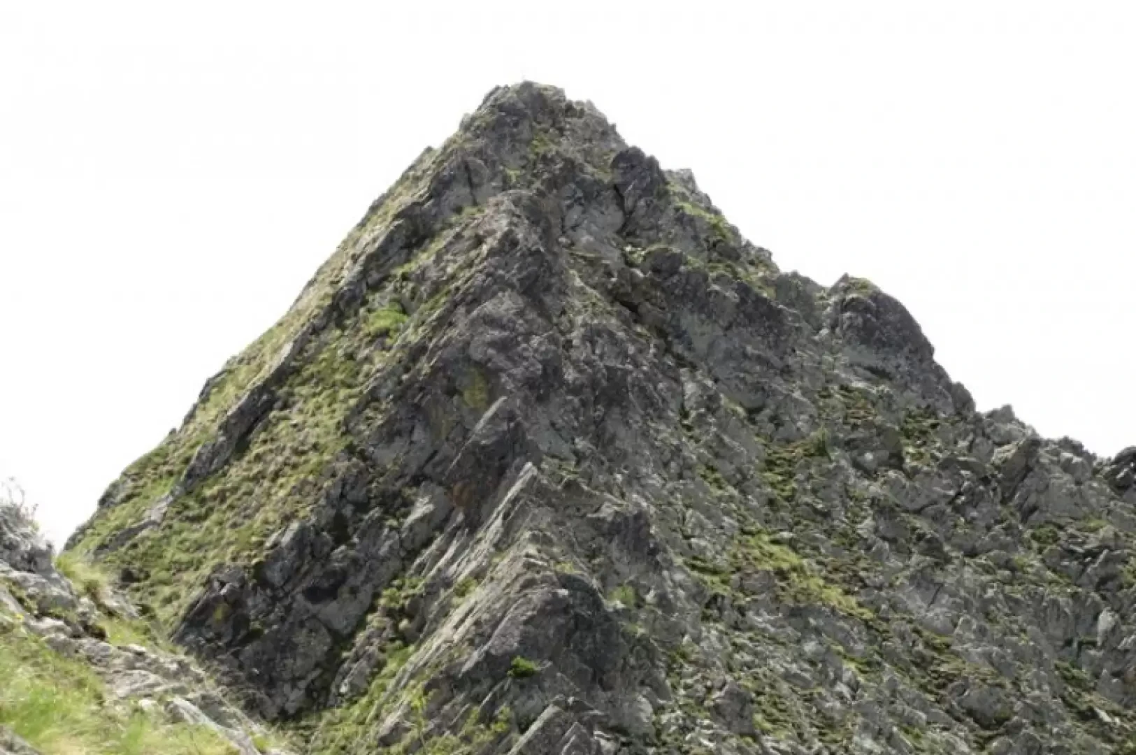
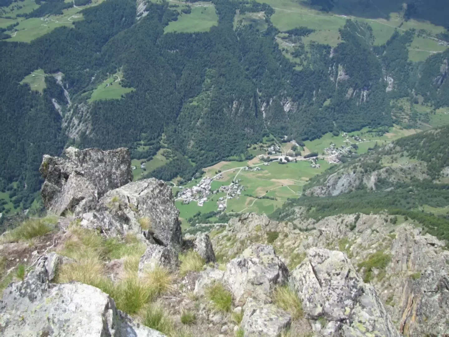
The village of Ollomont is overlooked to the east by Mount Berrio and the more modest Mount Faceballa and Pointe des Faces. According to Buscaini, in his rather vague account, Mount Faceballa is of no ‘mountaineering interest’; nevertheless, it has aroused the interest of mountaineers such as Abbé Henry and Adolfo Balliano, who have climbed its ridges and slopes. Indeed, the northern and eastern ridges, though short, offer easy climbs, which may also appeal to hikers keen to get their hands on the rock. It can add a bit more flavour to a hike along the Col Breuson trail.Description
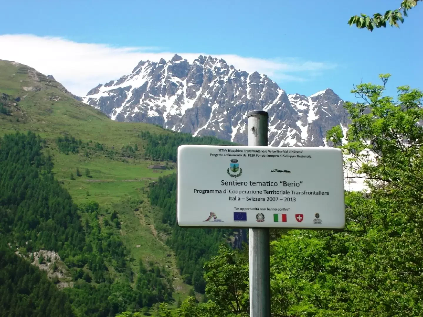
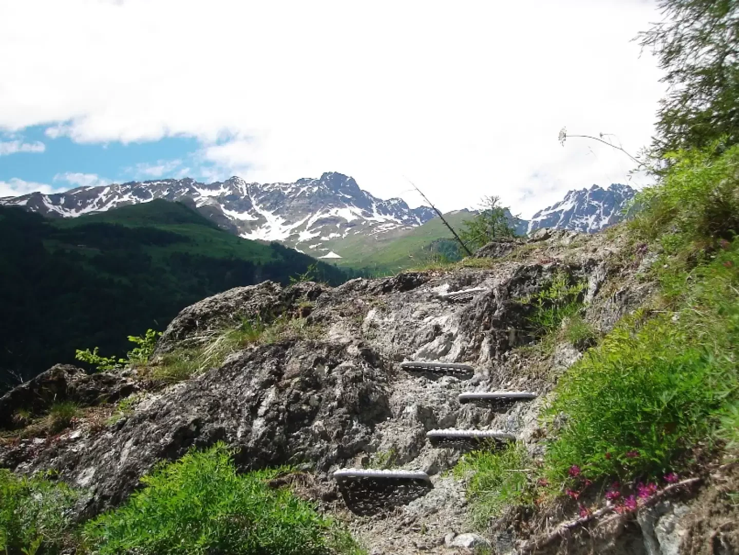
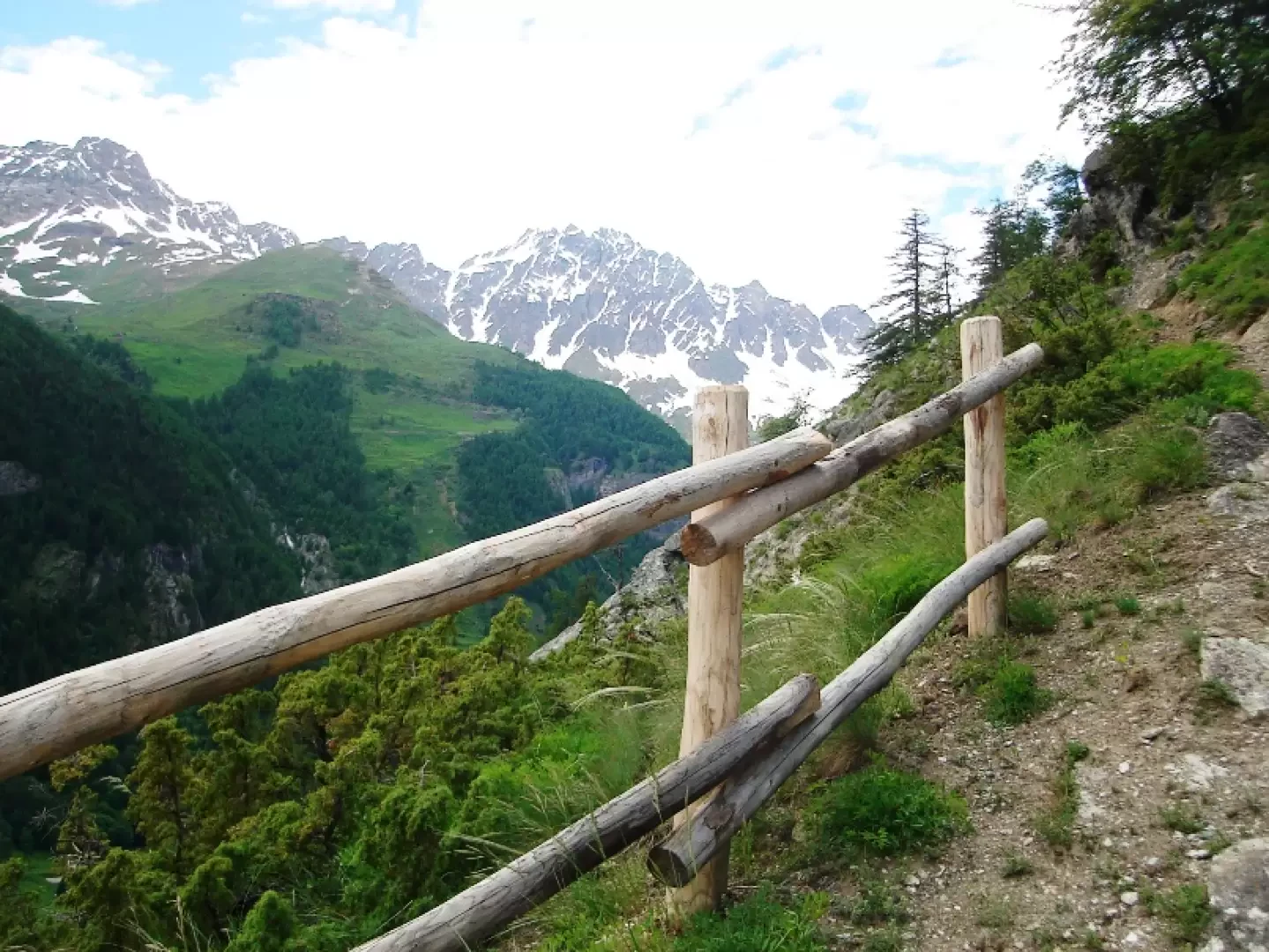
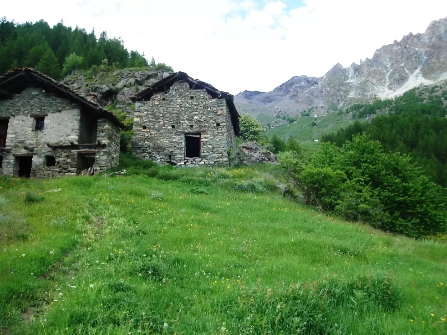
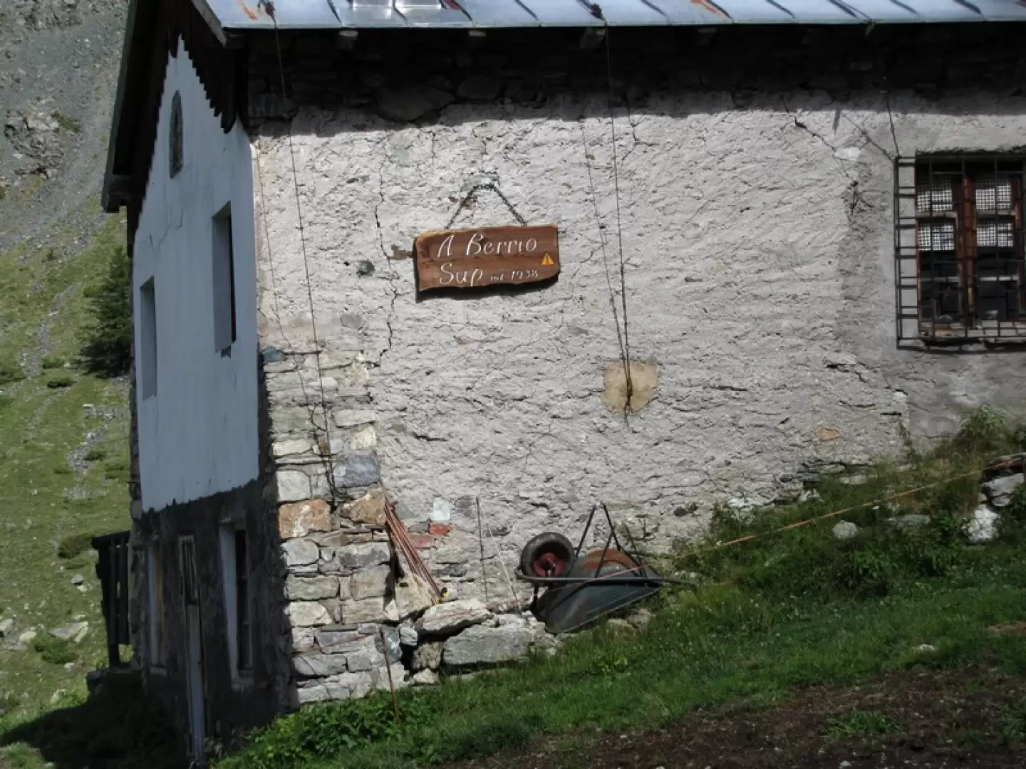
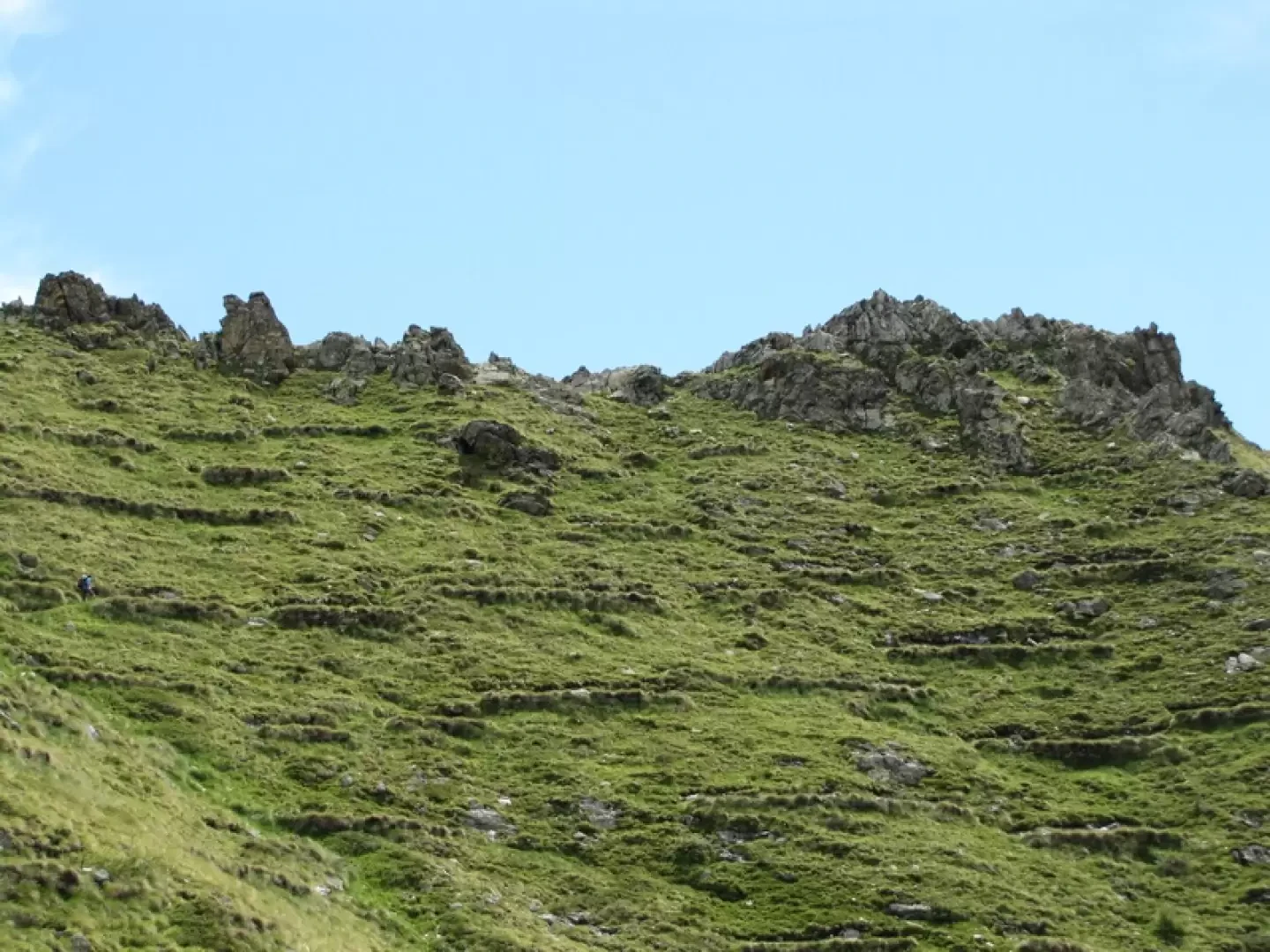
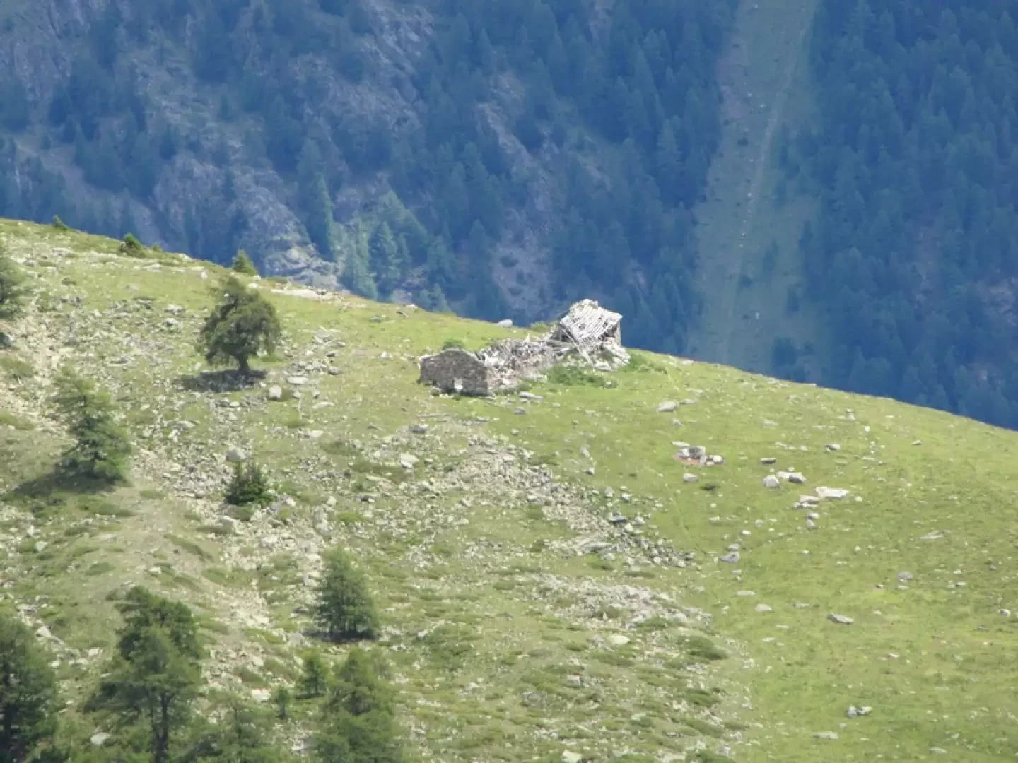
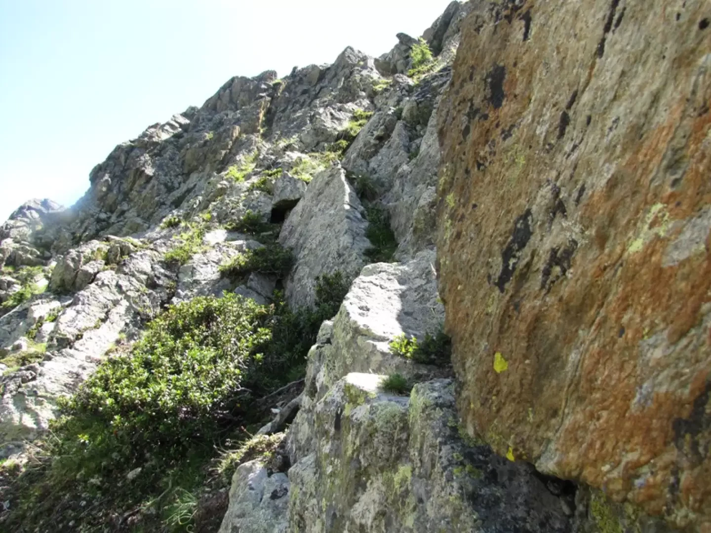
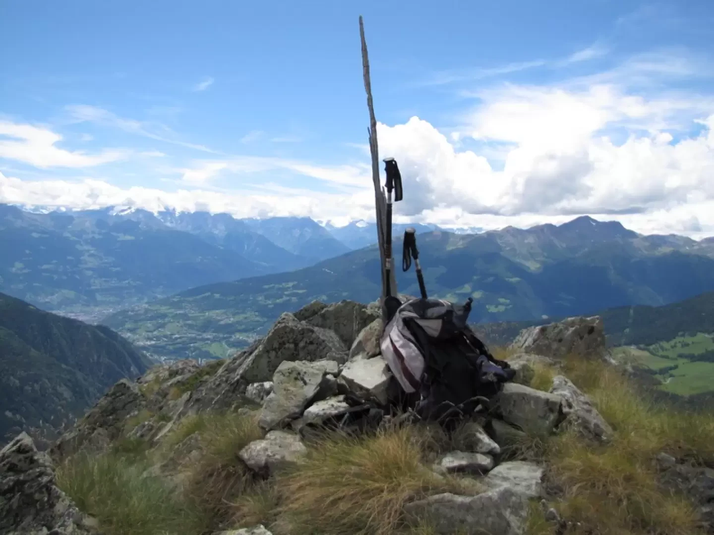
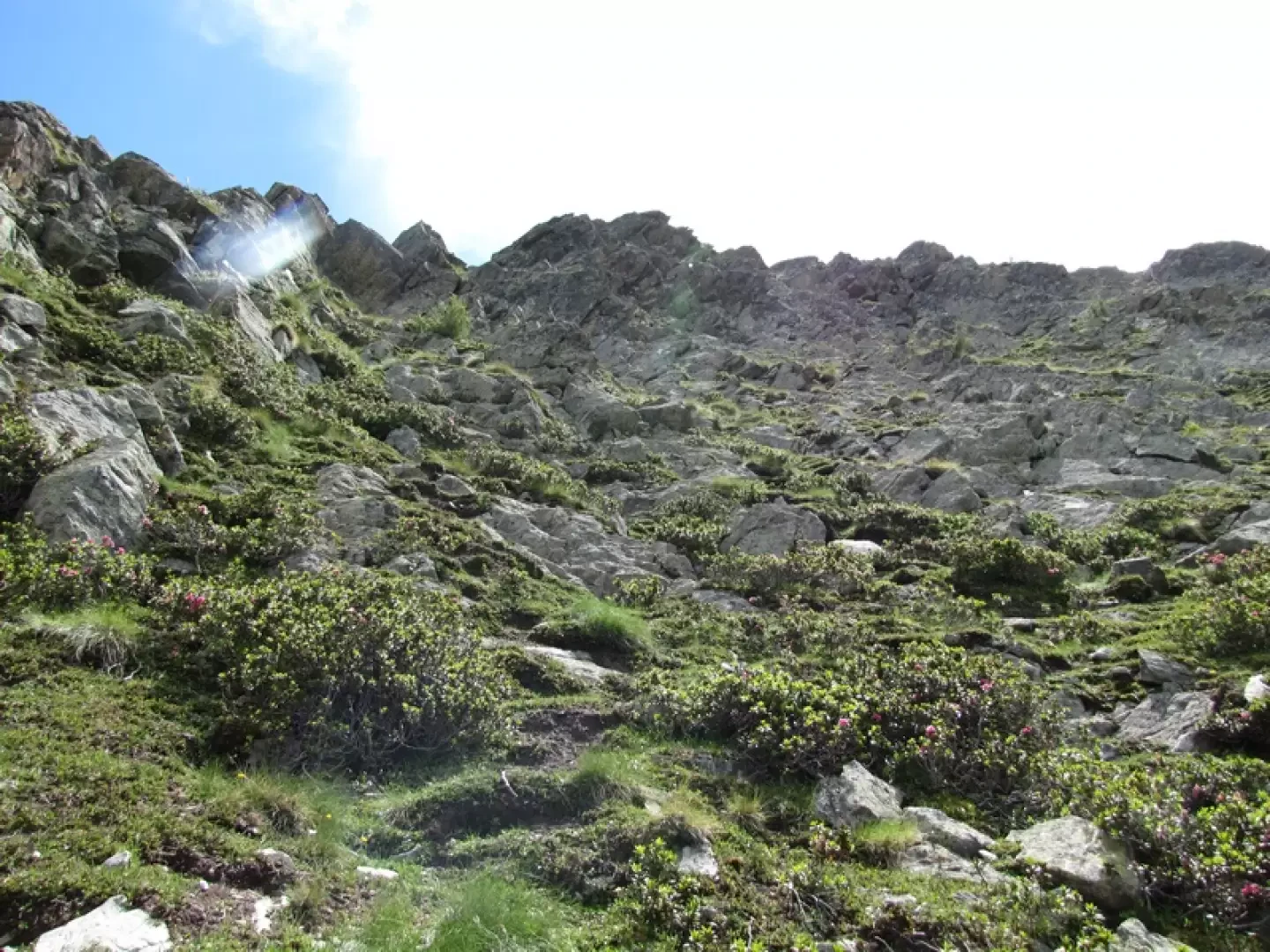
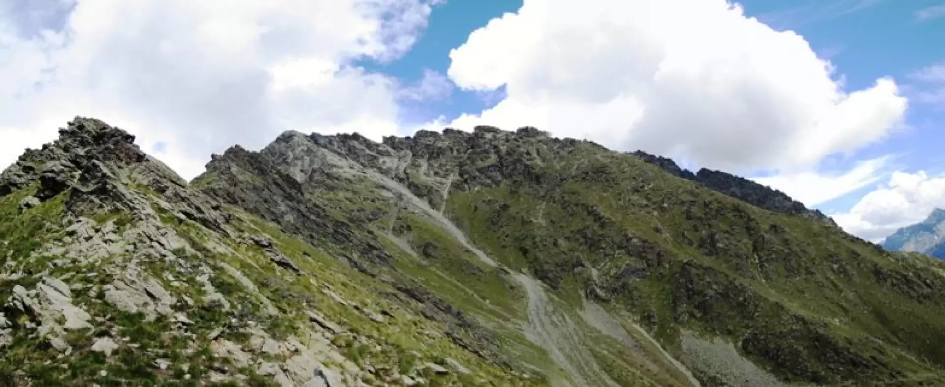
From the small square in front of Ollomont Town Hall, follow the signposts for Col Breuson and the Alta Via. The route climbs immediately up a tarmac road to the start of the inter-farm track, which winds gently upwards through numerous bends to a plateau offering a magnificent view of Grivola, before descending a few metres through the woods to a spring and then climbing again towards the steep pastures of Alpe Berrio Damon, a hideout during the Resistance for the group led by Ettore Castiglioni. In 2012, a new, more direct and scenic path was opened (recommended). Once you reach the upper dirt track from Ollomont, follow it to the left, cross a small bridge, until you reach a hairpin bend where a sign indicates the start of the ‘Berio themed trail’. The path leads into the woods; after a few metres, at a fork, turn right, passing some steep sections with themetal handrails until you reach a wooden fence offering a fine view of Mount Velan; beyond this, the gradient eases and you reach the ruins of the Berrio Desot mountain pasture, from where you can see the white Berrio Damon mountain pasture. Continue in its direction until you reach the farm track described above. The path, which is consistently well-marked, turns southwards for some time before climbing again via steep hairpin bends until it reaches the ridge between Monte Berrio and Monte Faceballa at a point a few metres higher than the lowest point (Col Breuson). Follow the ridge southwards towards Faceballa (which looks daunting from here but becomes gentler as you approach), staying on the steep slopes of the Ollomont side, using chamois tracks or the avalanche terraces. Once past the lowest point, a gentle descent takes you to the base of the north-west face, which rises steeply for about forty metres; climb up following chamois tracks and small rocks until you reach the rocky outcrops of the western ridge a few metres before the summit.
Photo gallery

Comments (0)
Sign in to leave a comment