Monte Spigo, circular walk from Torriglia


Edited by:
Maurizio Loconti
Updated at: 17/06/2026
Access
From Genoa, take the SS 45 road towards Piacenza until you reach the exit for Torriglia (about 25 km from the Molassana district).
Introduction
The Mount Spigo circular walk between the Panteca Chapel and the Costa da Torriglia Chapel
Description
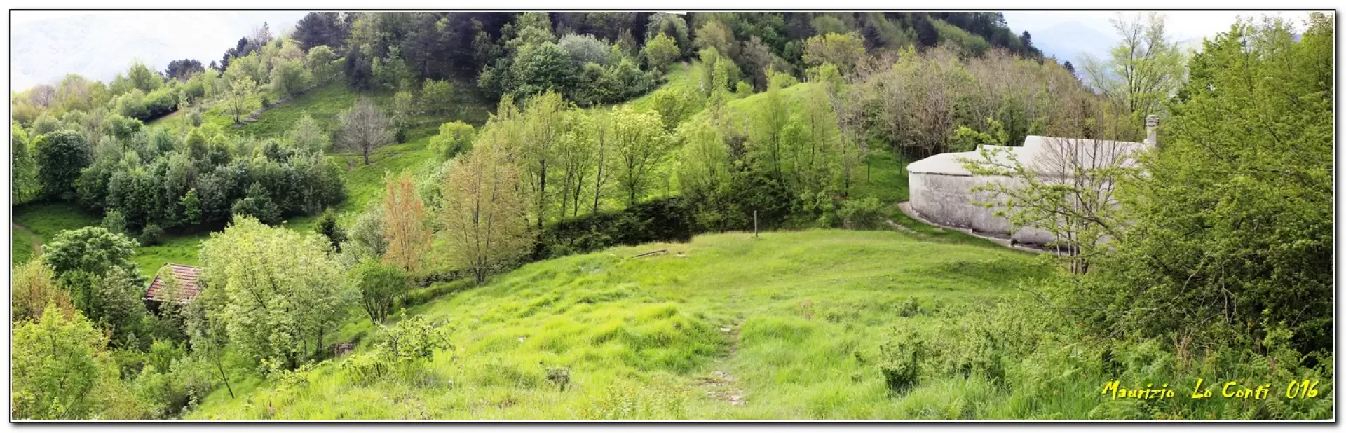
Park at Torriglia (764m) – note that from June to September this may be tricky due to paid parking areas – then head back and, after a bend, turn right through the village. There is a tricky section, due to the 2015 floods which lowered the level of the stream (carry on and then take a detour, going round to the left, until you find the path again). You’ll come back onto tarmac, passing some lovely little villas; afterwards, keep to the left as you enter a dense woodland (watch out for the many dogs guarding the houses…). Finally, you emerge onto a grassy plateau, to the right of which stands a stone house. Just above this is the Chapel of Panteca (1h), where a festival is held every 29 August.
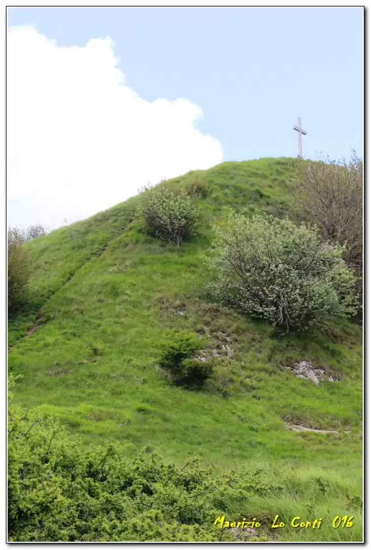
Do not continue straight on, as might seem natural, but turn sharply right up a steep climb, with the view of Torriglia gradually opening up. At last, you catch sight of the summit and, after a final steep climb, you reach the top at 1128 m (20’) with the cross that was erected in 2007.
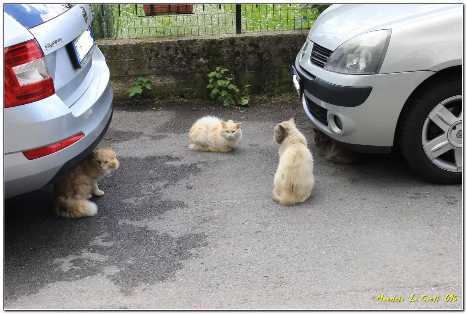
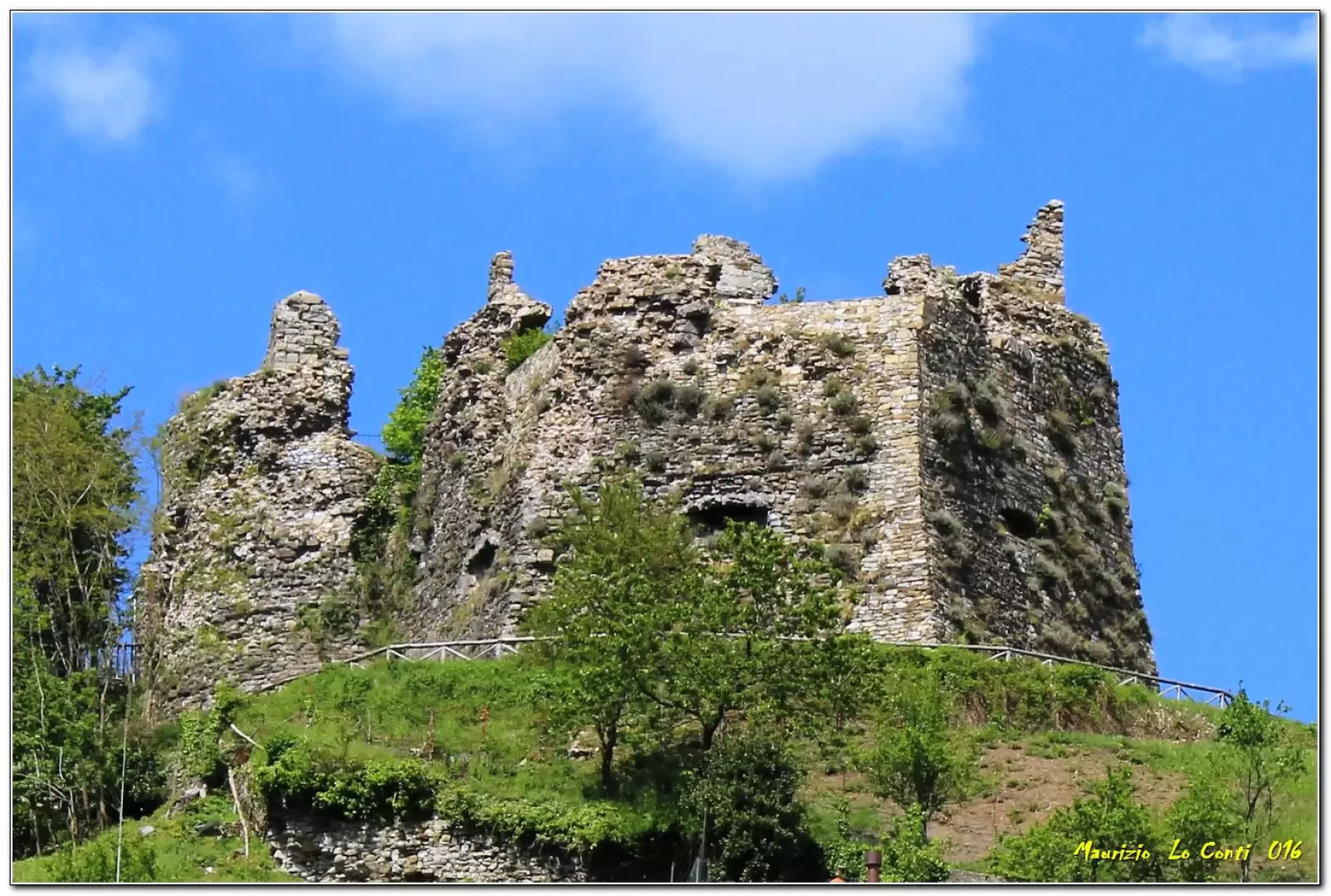
You carry on further and, after a series of significant ups and downs over about 30’, you come across the narrow track leading to Pentema (from the Pentema pass). Here, we turn right and take a break on a bench; then we carry on towards Donetta (10’ + 15’). Here, a group of cats are up to who knows what... (see individual photos*). Instead of heading down to Torriglia, we carried on with the intention of reaching the summit of Mount Lavagnola. However, from Cappella della Costa (862 m, 30’), given the length of the remaining section of the route and having spotted a sign indicating Torriglia was 15’ away, we decided against it. We begin the descent towards the village (we set off a little later than usual today, so we’d rather not make the trip too long…), which we reach in 20’ (plus all the twists and turns through the picturesque village…). There’s a lovely view of Torriglia Castle above, making for a fairly peaceful stroll overall, with a few points of interest...
All in all: a decent day’s walk elevation gain: 400 metres Difficulty: E. just over 3 hours in total, plus all the stops to look at the various sights along the way.
Photos from the trip:
http://cralgalliera.altervista.org/Torriglia016.pdf
http://cralgalliera.altervista.org/altre2016.htm
NB: in the event of a trip, always check with the FIE, CAI, any relevant park authority or other institutions, local tourist offices, etc., to ensure there have been no changes that may have increased the difficulty! We accept no liability. This text is provided for guidance only and is not exhaustive.
Information from the Cral Galliera Hiking Section: http://www.cralgalliera.altervista.org/esc.htm
2016 trips at the link: http://www.cralgalliera.altervista.org/gite016.pdf
General information
Trail markers: path marked with FIE symbols
Water: Torriglia
Photo gallery
Comments (0)
Sign in to leave a comment