Cassinelle Abbey, from Borzoli

Edited by:
Maurizio Loconti
Updated at: 08/09/2026
Access
By train, get off at Borzoli (from Genoa, an integrated ticket or an AMT season ticket is sufficient) or by car (or bus no. 53) from the Rivarolo or Sestri neighbourhoods (alternatively, from the motorway, take the Aeroporto exit, you can turn off straight away – follow signs for Erzelli/Borzoli – and access the area directly via two tunnels that take you there in no time).
Introduction
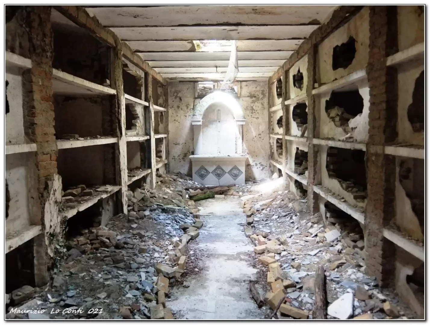
In this area, the various footpaths have been neglected for several years, due to brambles, a number of landslides and other factors (EE). Furthermore, the FIE sign to follow on the ascent is very faded, though still visible (somewhat sparse). Recently, however, thanks to a number of local associations (January 2021), with the help of the local council and AMIU, the situation – in terms of walkability – has improved and the path can once again be classified as E (the path has been widened and repaired in some places). The abbey site is a little eerie, and beneath the sacred building there is a chamber containing a crypt and burial niches.
Description
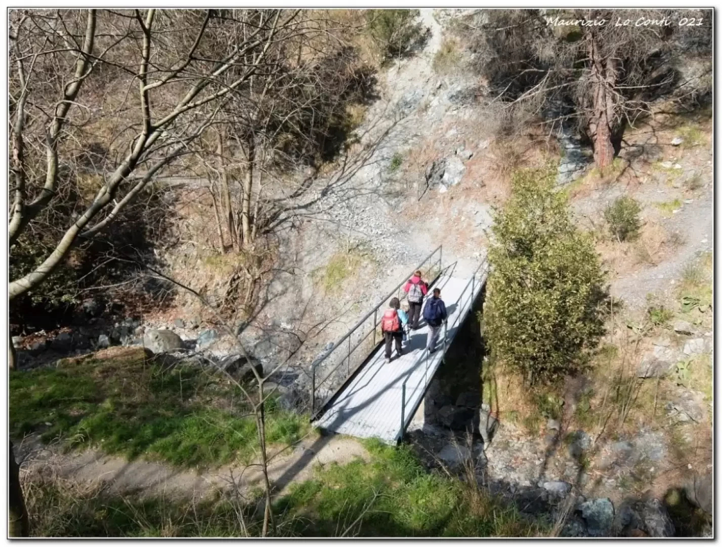
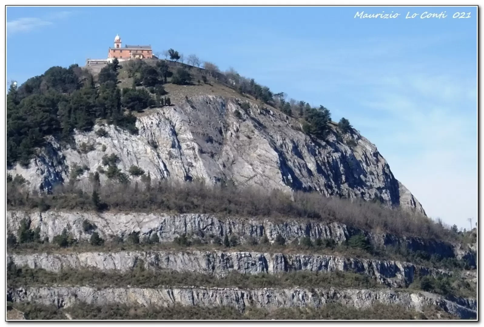
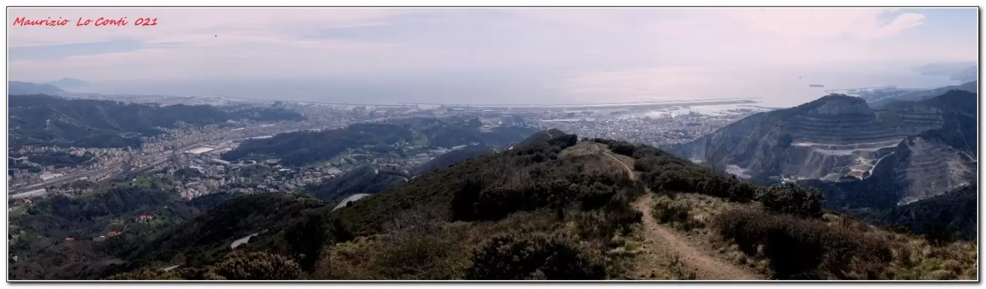
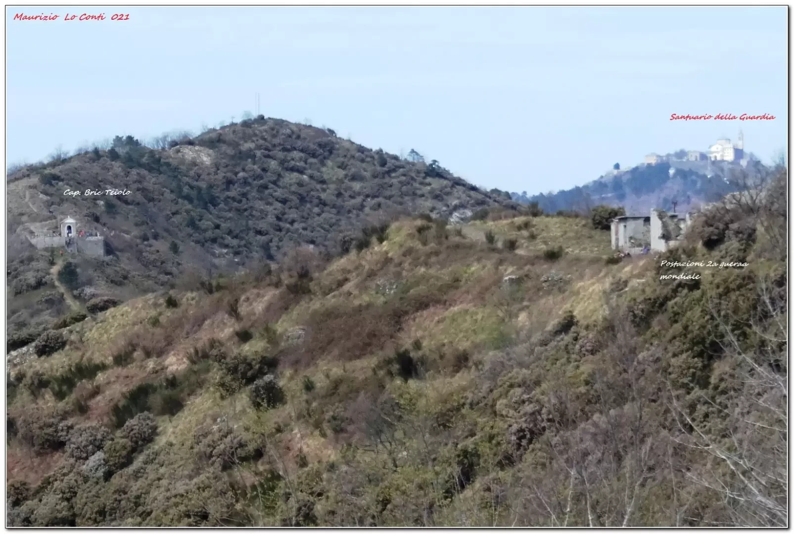
From the square above the station (57 m), head up towards the church. A little further on, turn left onto Via Rivassa. The path descends and is now cobbled, passing over a small metal bridge. As you climb again, turn right at a building into Vico Superiore Priano and then onto Via San Rocco di Borzoli. At a clearing, take care: first turn right, but immediately afterwards keep to the left onto the path. At the next fork, take the left-hand path. Climb up to a high-voltage pylon (270 m). Here, turn left (the return route is to the right). You will now tackle a section that appears to be level until you join a wider path ascending from the left. You gain altitude, passing close to the ruins of Cassinelle Abbey (378 m). Given the nature of the area, proceed with extreme caution and respect the restrictions, keeping close to a low wall. The path is wide and gains height through the woods via a series of zigzags. As the path veers to the right, the vegetation becomes lower and you reach a pass where you turn left towards the nearby Bric Teiolo chapel (630 m – an excellent spot for a rest). Once you’ve finished your break, return to the previous pass. The view is sweeping in every direction! Descend to a junction where a sign suggests turning right (Rock dei Corvi – 444 m). Shortly afterwards, there is another junction where the path drops very steeply down to the pylon seen that morning (and clearly visible from the start of the descent too). Following the same route as in the morning, you return to the station.
In summary: Difficulty E – 10 km – 650 metres elevation gain – 4h30 in total + stops and breaks – fair weather but cold at higher altitudes (even at the start it was only 8 degrees!). Ease of walking: adequate, except for the descent to the pylon, which is very difficult. Interest of the route: moderate.
If you’d like, here’s the PDF photo file, with a bit more information:
http://cralgalliera.altervista.org/Borzoli021.pdf
http://www.cralgalliera.altervista.org/anno2021.htm
http://www.cralgalliera.altervista.org/altre2021.htm
NB: if you are going on a trip, always check with the FIE, CAI, any relevant park authority or other institutions, local tourist offices, etc., to ensure there have been no changes that might have increased the difficulty! We accept no liability. This text is provided for guidance only and is not exhaustive.
Information from the Cral Galliera Hiking Section: http://www.cralgalliera.altervista.org/esc.htm
2021 trips at the link: http://www.cralgalliera.altervista.org/gite021.pdf
Collections
Photo gallery
Comments (0)
Sign in to leave a comment