Aiguille d'Artanavaz via Rantin, from Planaval – La Salle

Edited by:
Benedetto Lorusso
Updated at: 09/09/2026
Access
Road directions
Leave the motorway junction at La Salle. Join the state road towards Courmayeur and follow it for 1.1 km (1.1 km) until you reach the junction with Via Corrado Gex. Turn left and take Via Corrado Gex towards Planaval. Follow the municipal road uphill, passing through the hamlet of Chaffieron, for 11.2 km (12.3 km) until you reach the hamlet of Planaval.
Car park
In the hamlet of Planaval there is a free 🅿️ car park, which is the starting point of the route.
Access by public transport
You will need a private vehicle to reach the starting point of the route, as Planaval is not served by public transport.
Distance and journey time
🕒 Walking time: 19 minutes
📏 Distance: 12.3 km
GPS navigation
Important information
The directions provided were verified on the date the route was mapped. Before setting off, we recommend checking for any changes to the route or road conditions. For up-to-date information, please consult Google Maps or Apple Maps.
Introduction
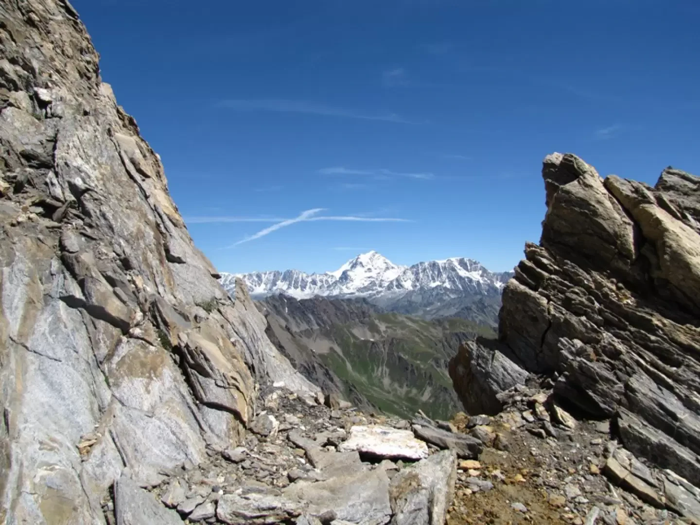
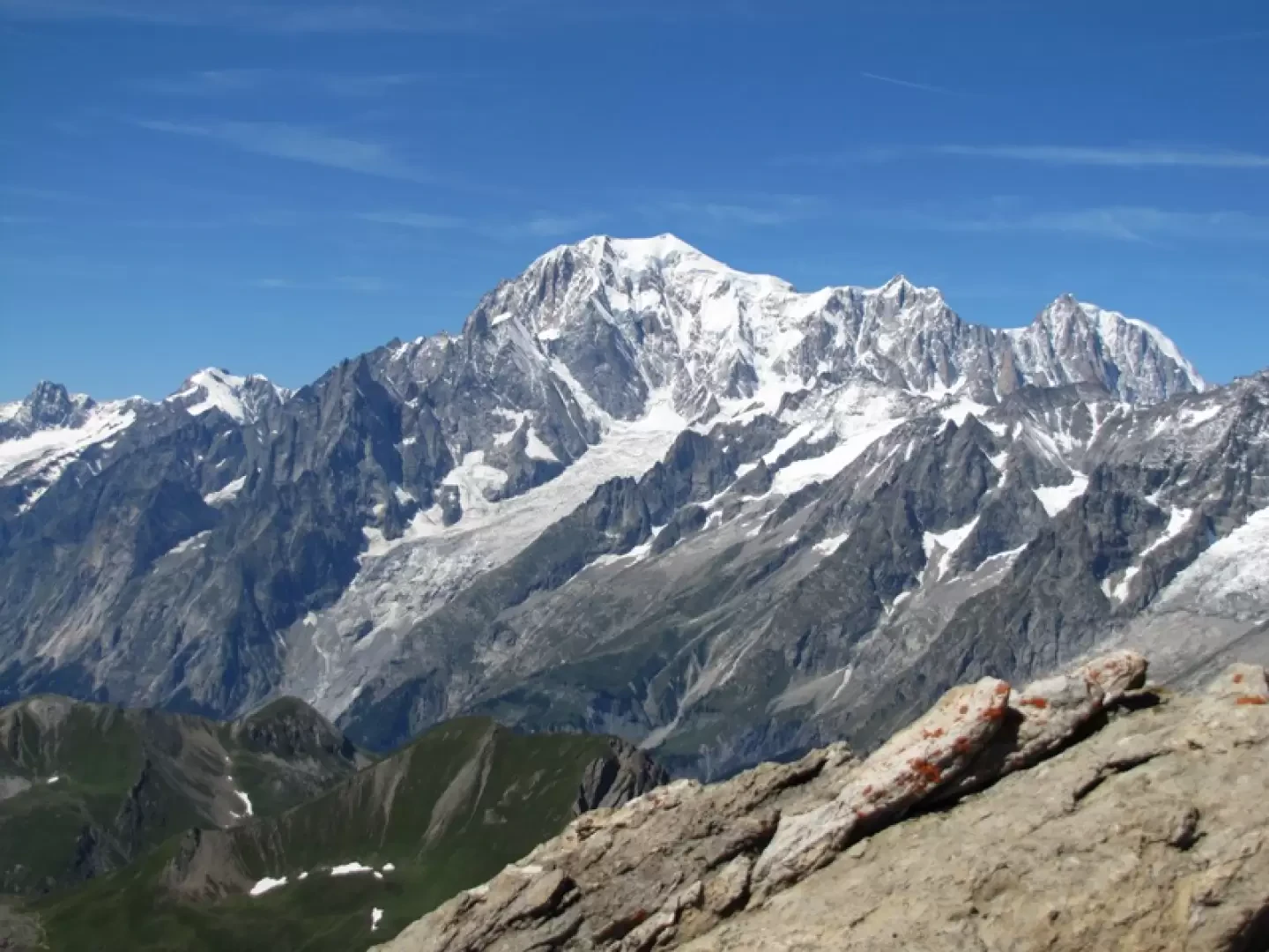
The final destination offers a breathtaking view: Mont Blanc and the Grandes Jorasses, whilst the horizon stretches from the Combin to the Matterhorn, taking in the Monte Rosa and the Gran Paradiso massif, with the Ciarforon and the mountains of the southern valleys.
Description
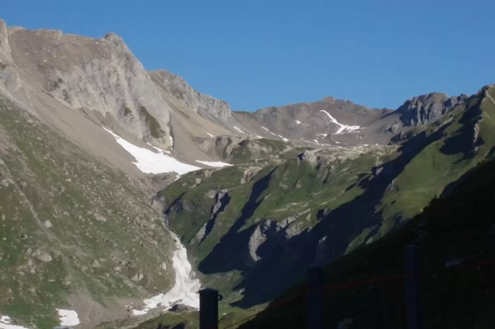
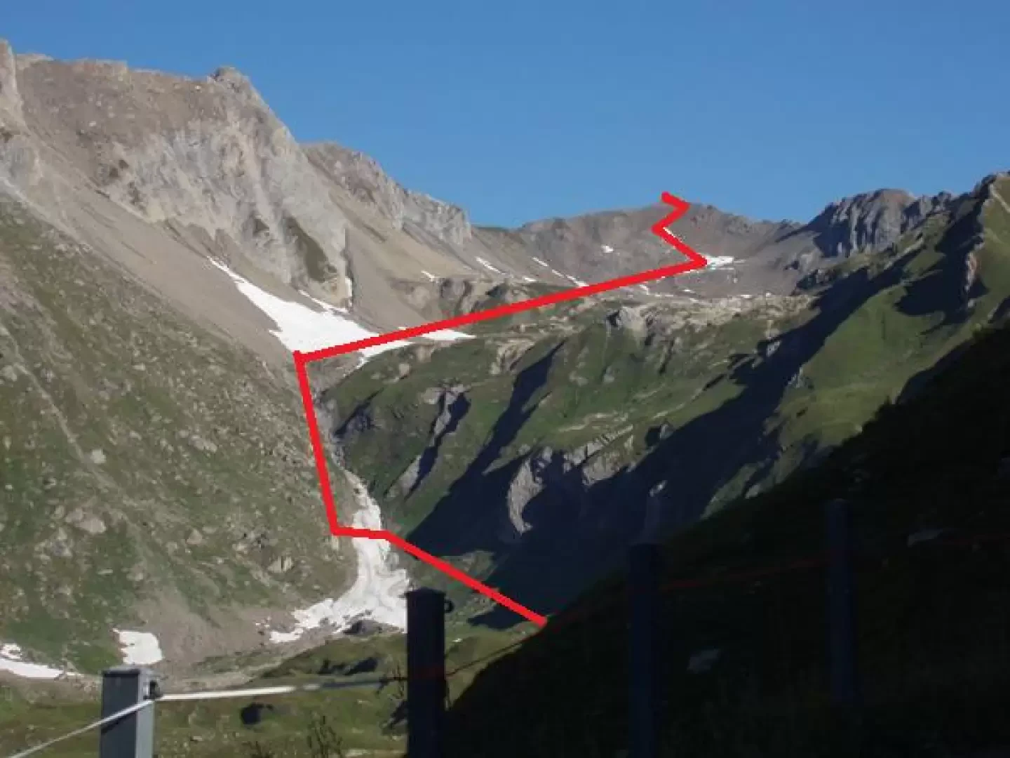
From Planaval, head to Capanna Bonalè (a mountain pasture) either via the inter-pasture path (longer, but easier) which passes through Rantin, or via the valley-floor path that takes you across a steep valley.
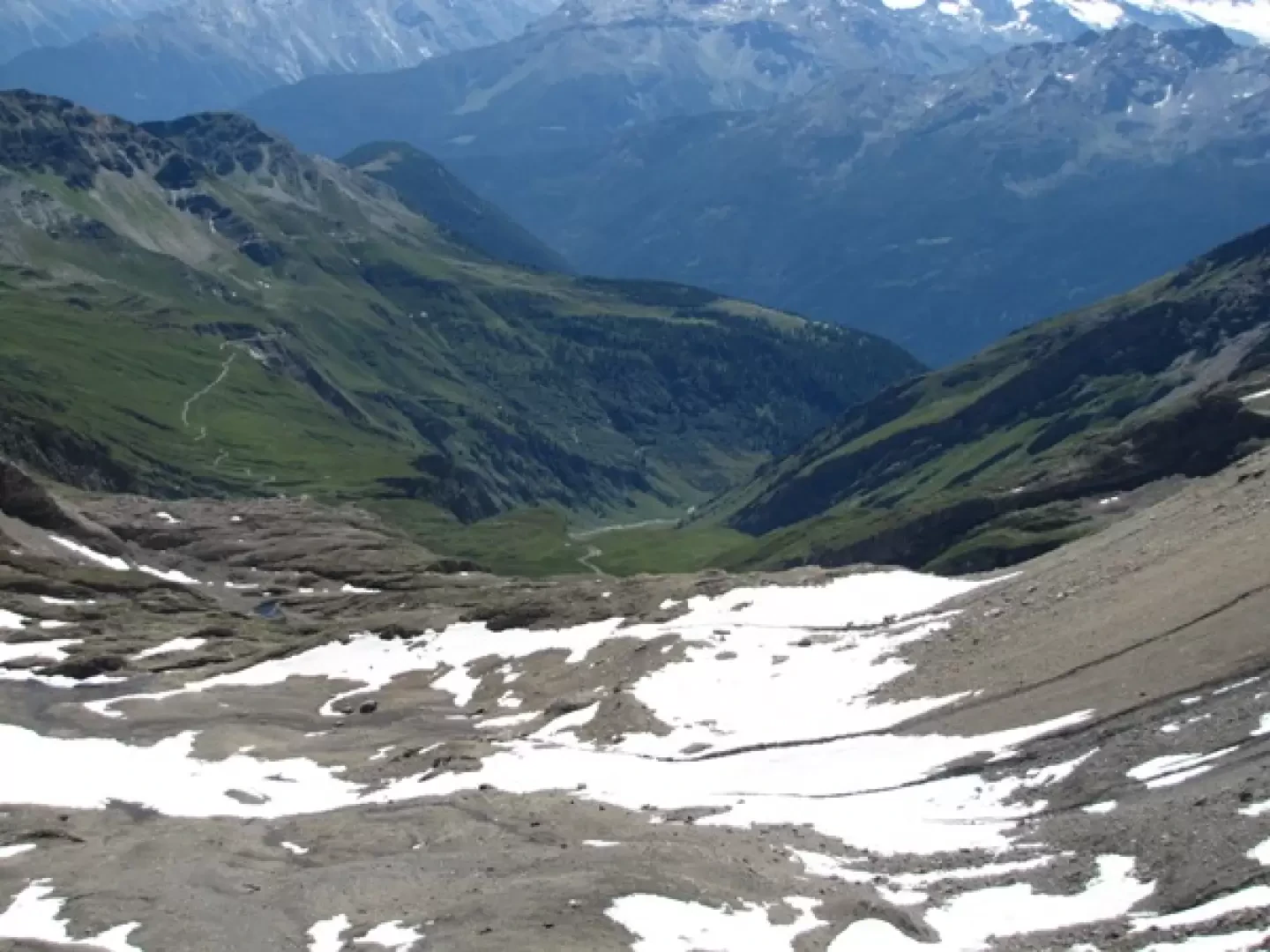
From the mountain pasture, follow the tracks and cairns leading towards a slope that is grassy on the right and scree-covered on the left.
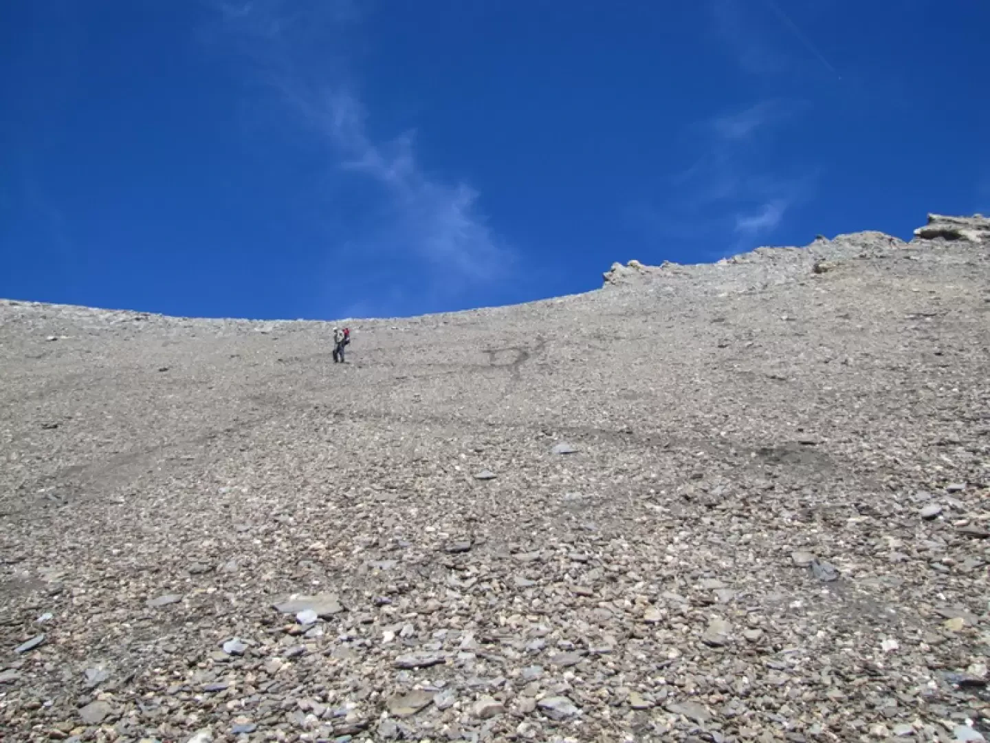
Leave the grassy slope and, as soon as possible, cross over onto the scree slope, where you will find the cairns leading to the upper valley.
Continue northwards, crossing grassy hummocks; from the last of these, you can see the rest of the route.
To the right, further down, lies Lake Bonalè.
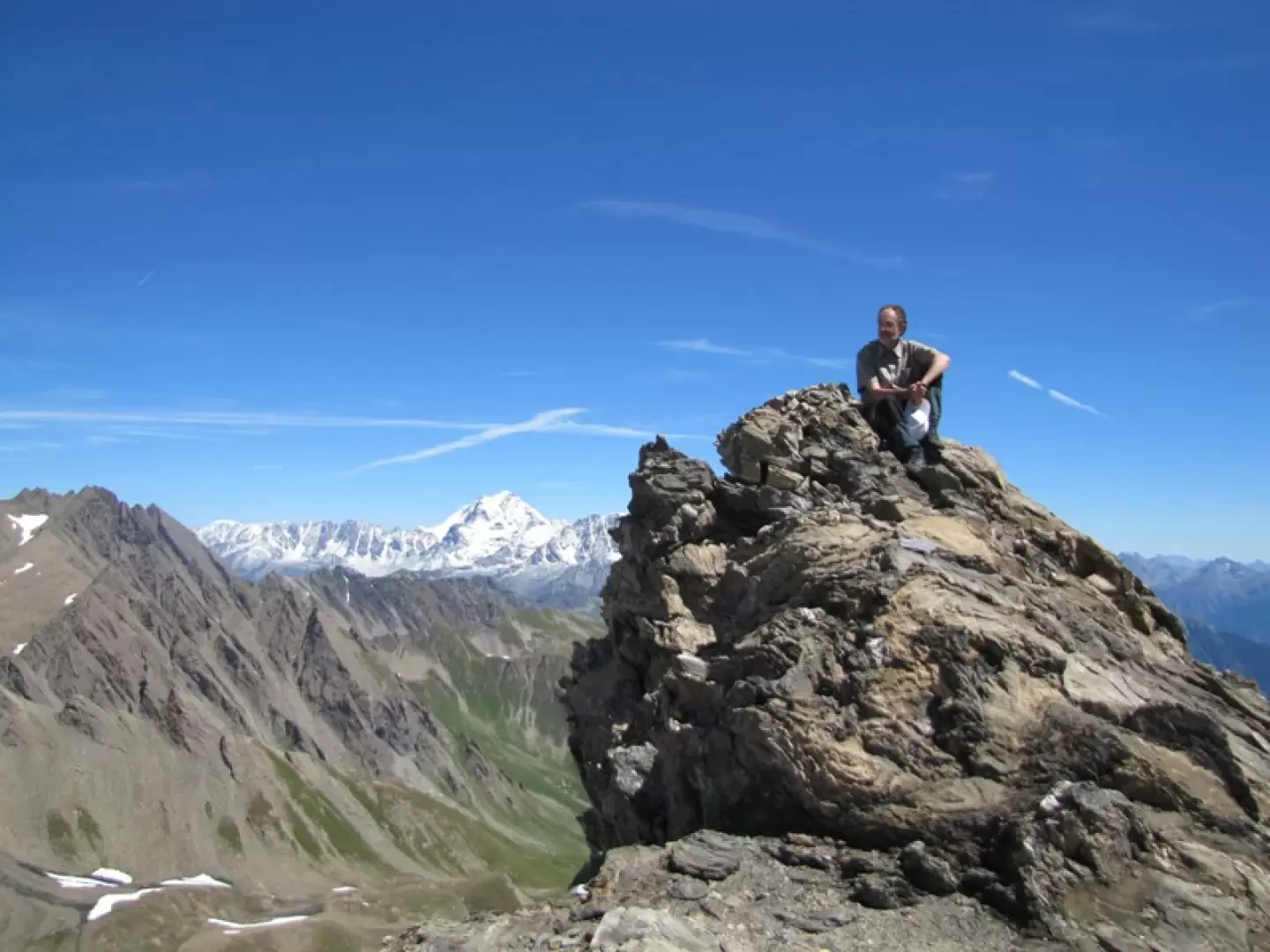
Continue towards the summit, following the cairns that lead to a ridge where the tracks are more clearly visible, until you reach the very obvious track (which can also be seen from a distance) that soon leads to the exposed summit.
Just a stone’s throw from Mont Blanc and the Grandes Jorasses, the view stretches from the Combin to the Velan, the Matterhorn and the Monte Rosa.
To the south lie the northern slopes of Gran Paradiso, the Ciarforon and the mountains of the southern valleys.
Allow four to five hours.
Points of Interest
Collections
Photo gallery
Comments (0)
Sign in to leave a comment