Montjovet

Access
Montjovet è un comune della Valle d’Aosta situato in una posizione strategica lungo l’asse della Dora Baltea, facilmente raggiungibile sia in auto che con i mezzi pubblici. Grazie alla sua vicinanza alle principali infrastrutture di trasporto, rappresenta una tappa accessibile per chi viaggia verso la regione alpina.
Per chi arriva in aereo, gli aeroporti più vicini sono quelli di Torino-Caselle, situato a circa 90 km e collegato alla Valle d’Aosta tramite l’autostrada , e l’aeroporto di Milano Malpensa, distante circa 160 km, che offre collegamenti internazionali e un accesso facilitato grazie alla rete autostradale. In alternativa, l’aeroporto di Ginevra può essere una soluzione per chi proviene dall’estero, con un percorso di circa 200 km attraverso il traforo del Gran San Bernardo.
Il comune è servito dalla linea ferroviaria Aosta-Chivasso, con la stazione più vicina situata a Verrès, a pochi chilometri di distanza. Da qui, è possibile proseguire in autobus o con mezzi privati per raggiungere Montjovet. Il servizio ferroviario regionale offre collegamenti frequenti con Aosta e Torino, consentendo di spostarsi comodamente attraverso la bassa Valle d’Aosta.
Per chi viaggia in auto, Montjovet è facilmente accessibile tramite l’autostrada A5 Torino-Aosta, uscendo al casello di Verrès per poi proseguire lungo la Strada Statale della Valle d’Aosta, che attraversa il comune. Questa arteria stradale segue il percorso storico della Via delle Gallie, con tratti panoramici che costeggiano la Dora Baltea e permettono un collegamento diretto tra i principali centri della regione. La rete viaria provinciale include numerose strade secondarie che collegano le diverse frazioni e le località montane, con tratti che si sviluppano lungo i versanti della valle, offrendo accesso a itinerari escursionistici e punti panoramici.
Grazie alla sua posizione centrale nella bassa Valle d’Aosta, Montjovet rappresenta un punto di passaggio comodo e ben servito, ideale per chi desidera esplorare la regione senza rinunciare alla facilità di accesso.
Introduction
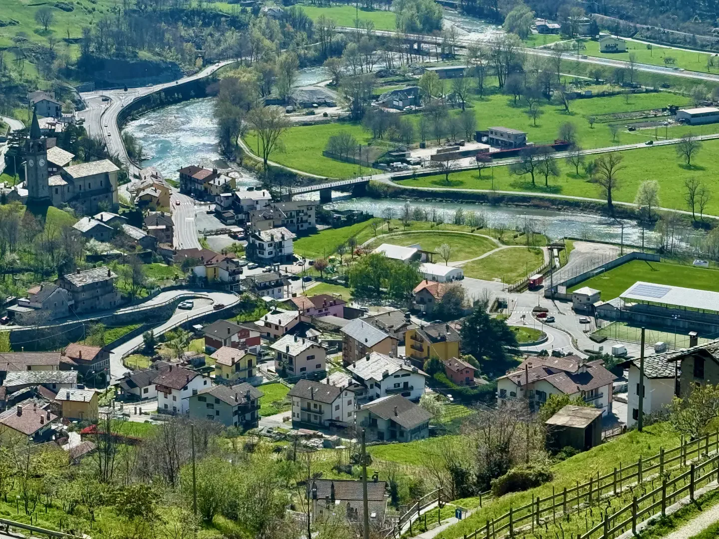
A valley bottom municipality located in the lower Valle d'Aosta; its territory extends on the two orographic slopes of the Dora Baltea.Description
The evidence of the first human settlements is very ancient, even dating back to prehistoric times, but it is the Romans who have given us the present toponym: in fact, it derives from mons jovis, i.e. mount of Jupiter. In fact, it seems that Latin settlers erected a temple to the god Jupiter on a nearby hill. In the Middle Ages, Montjovet was a very important centre: its seigniory also included the municipalities of Saint-Vincent, Emarèse, Saint-Germain and various territories now belonging to Champdepraz. It constituted a sort of obligatory stop for travellers crossing the valley, in fact the current route of the road, the one that cuts across the mountain ridge and is commonly known as 'mongiovetta' dates from the end of the 18th century. There is evidence of the existence of hospices since the mid 12th century; there were three parishes (now reduced to two) and two castles, that of Chenal and that of Saint-Germain. The latter, in spite of its current state of ruin, retains its charm, enhanced by its particularly panoramic position over the central valley.
As a curiosity, in the municipality of Montjovet, on the right side of the Dora, there are some place names of clear German derivation, such as Gettaz des Allemands and Rodhoz; according to some scholars, these are Walser colonies, while according to others they are settlements populated by straggling soldiers who found permanent refuge in particularly isolated places.
Information
Superficie: 18,73 km²
Altitudine: 370m
Maggior elevazione: 2.178m - Mont Lyan
Numero abitanti: 1.790 (al 31.12.2020)
Nome in dialetto: Mondzouèt
Nome abitanti: Montjoveteins
Santo patrono: Natività di Maria Vergine (8 settembre)
Comuni confinanti: Châtillon, Saint-Vincent, Émarèse, Challand-Saint-Victor, Champdepraz, Verrès
Sito internet: www.comune.montjovet.ao.it