Brissogne

Introduction
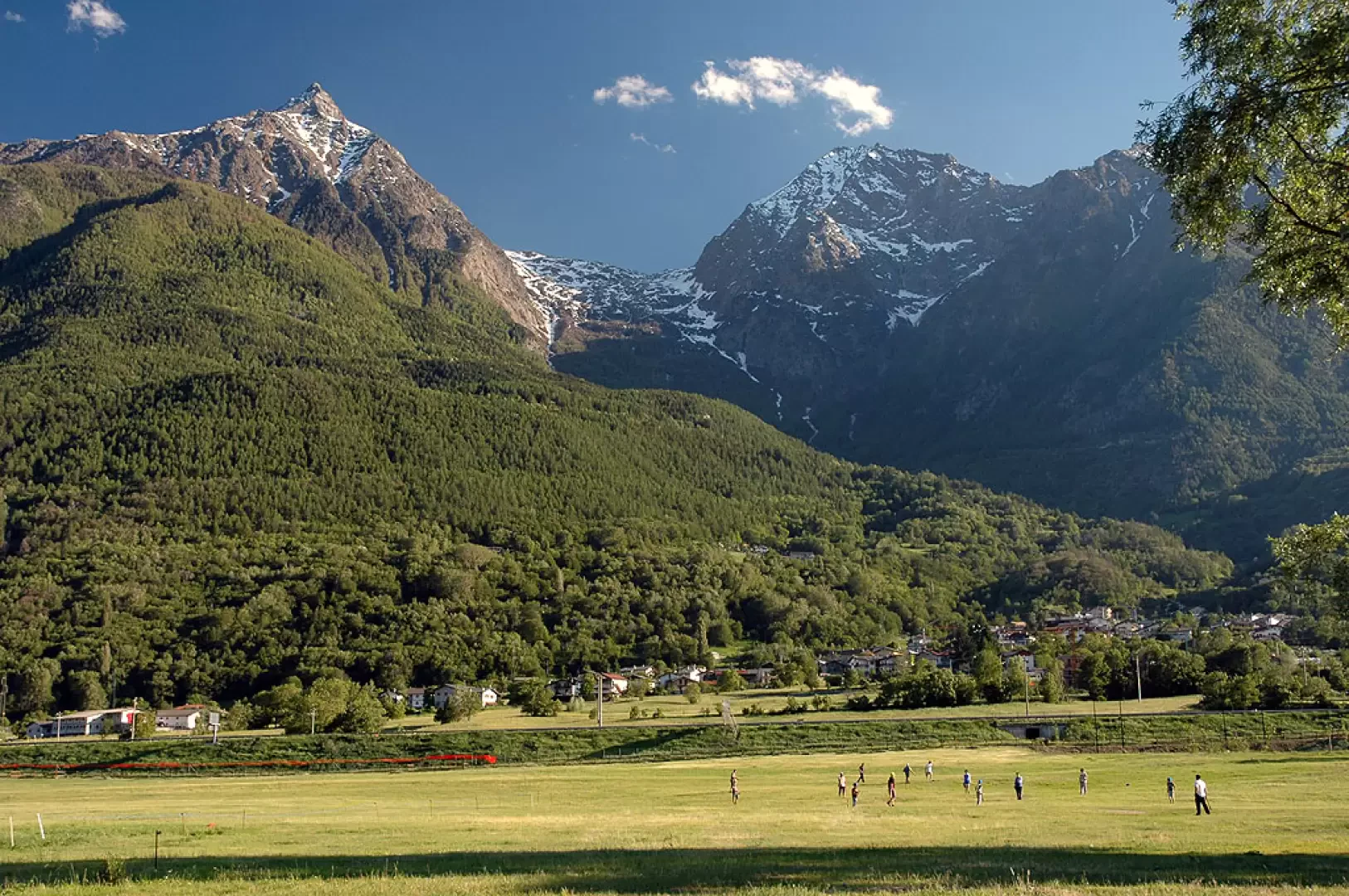
It is a municipality located 12 km from Aosta, at the bottom of the valley, on the right side of the Dora Baltea river, the so-called envers (reverse) side, due to the poor winter sunlight from the shadow cast by the mountains. It is no coincidence that the village's main festival is called 'Feta de l'Oumbra'.Description
Information sheet
Area: 25.48 square km
Altitude: 839m
Maximum elevation: Mont Emilius (3559m)
Number of inhabitants: 962
Name in dialect: Brèissogne
Inhabitant name: Brissogneins - Brèissognen, Breissognentse
Patron Saint: Saint Lawrence (10 August)
Website:www.comune.brissogne.ao.it
Webcam:
Neighbouring municipalities: Charvensod, Cogne, Pollein, Quart, Saint-Marcel
Villages and hamlets: Bondinaz, Bruchet, Chésalet, Établoz, Fassoulaz, Grand-Brissogne, Grand-Fauve, Grange, Le Chaney, Le Moulin, Petit-Pollein, Le Pouyet, Île-Blonde, Les Îles, Luin, Neyran, Neyran-Dessous, Neyran-Dessus, Pâcou, Pallu-Dessous, Pallu-du-Milieu, Pallu-Dessus, Passerin, Primaz (chef-lieu), Vaud
Highlands:
Description
. It seems that the place name somehow indicates a private property, which in ancient times would have belonged to the lords who resided in the castle, of which only a tower is preserved today, in a dominant position over the village. The domain then underwent numerous changes of ownership and fractionations.
Economically, the municipality has its own specificity only in the livestock sector, facilitated by the presence of excellent pastures in the area; however, the majority of the population commutes to work in the municipalities bordering the regional capital.
Consultation indexes
It is a commune located 12 km from Aosta, at the bottom of the valley, on the right side of the Dora Baltea river, the so-called envers (reverse) side, due to the poor winter sunlight from the shadow cast by the mountains. It is no coincidence that the village's main festival is called 'Feta de l'Oumbra'. It seems that the place name somehow indicates a private property, which in ancient times would have belonged to the lords who resided in the castle, of which only a tower, dominating the village, is preserved today. The domain then had numerous changes of ownership and subdivisions. Economically, the municipality has its own specificity only in the livestock sector, facilitated by the presence of excellent pastures in the area; but the majority of the population exercises the usual commuting to work typical of the municipalities bordering the regional capital.
Information
Superficie: 25,48 kmq
Altitudine: 839m
Maggior elevazione: Mont Emilius (3559m)
Numero abitanti: 962
Nome in dialetto: Brèissogne
Nome abitanti: Brissogneins - Brèissognen, Breissognentse
Santo Patrono: San Lorenzo (10 agosto)
Sito internet: www.comune.brissogne.ao.it
Webcam:
Comuni confinanti: Charvensod, Cogne, Pollein, Quart, Saint-Marcel
Villaggi e frazioni: Bondinaz, Bruchet, Chésalet, Établoz, Fassoulaz, Grand-Brissogne, Grand-Fauve, Grange, Le Chaney, Le Moulin, Petit-Pollein, Le Pouyet, Île-Blonde, Les Îles, Luin, Neyran, Neyran-Dessous, Neyran-Dessus, Pâcou, Pallu-Dessous, Pallu-du-Milieu, Pallu-Dessus, Passerin, Primaz (chef-lieu), Vaud
Alpeggi: