Champdepraz

Edited by:
Maurizio Bergamini
Access
Introduction
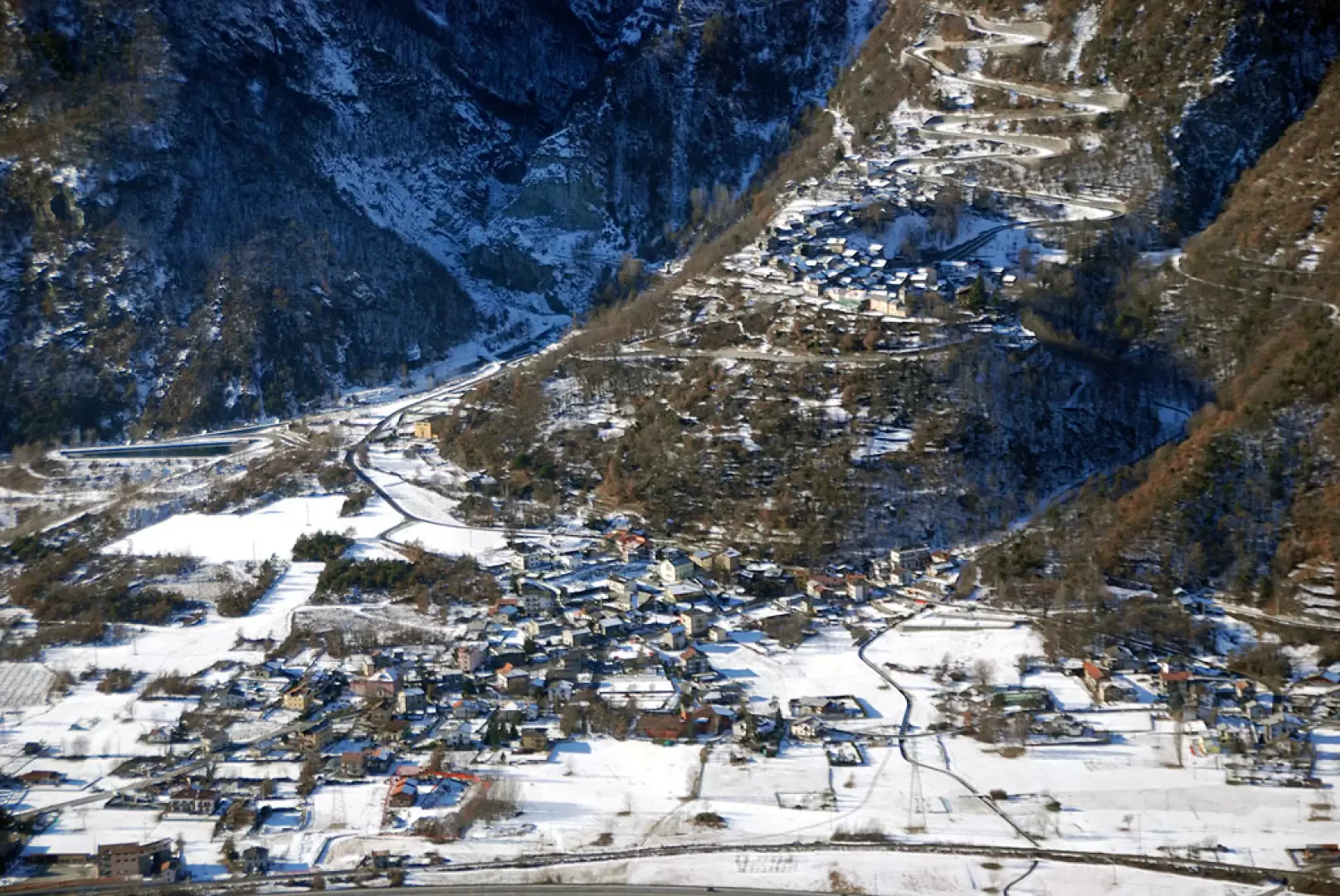
A municipality in the lower Aosta Valley, situated on the right bank of the Dora Baltea. The name itself reflects its agricultural character, even though for many centuries the seemingly most productive land – that is, the flat areas – was prone to flooding.Description
A town in the lower Aosta Valley, situated on the right bank of the Dora Baltea. The name itself reflects its agricultural character, even though for many centuries the seemingly most productive land – that is, the flat areas – was prone to flooding. The numerous iron and copper mines fared better; from the 17th century onwards, these were also exploited by foreign companies, providing employment for local residents but causing serious damage to the environment. All mining operations ceased definitively in 1957. Today, agricultural activity has been complemented by industrial activity, thanks to the establishment of a number of businesses, some of which are of considerable size.
In 1989, the Mont Avic Regional Nature Park was established within the municipal area, thanks to the collaboration of Fiat, which transferred the management of a vast uninhabited area of great natural interest in a high-mountain environment to the Autonomous Region of Valle d’Aosta.
A valley-floor municipality in the lower Aosta Valley, situated on the right bank of the Dora Baltea. The place name itself reflects its agricultural character, even though for many centuries the seemingly more productive land – that is, the flat areas – was prone to flooding. The numerous iron and copper mines fared better; from the 17th century onwards, these were also exploited by foreign companies, providing employment for local residents but causing serious damage to the environment. All mining operations ceased definitively in 1957. Today, agricultural activity has been complemented by industrial activity, thanks to the establishment of a number of businesses, some of considerable size. In 1989, the Mont Avic Regional Nature Park was established within the municipal area, thanks to the collaboration of Fiat, which transferred the management of a vast uninhabited area of great natural interest in a high-mountain environment to the Autonomous Region of Valle d’Aosta.
Information
Fact sheet
Area: 48.49 km²
Altitude: 523 m
Highest point: Mont Avic (3,006 m)
Population:
Name in the local dialect:
Name of inhabitants:
Patron saint: Saint François de Sales (24 January)
Website:
Webcam:
Neighbouring municipalities: Chambave, Champorcher, Châtillon, Fénis, Issogne, Montjovet, Pontey, Verrès
Villages and hamlets: Barbustel, Bianzet, Boden, Capiron, Main village, Chantonet, Covarey, Crestaz, Cugnon, Dialley, Fabbrica, Fussy, Gettaz des Allamands, Hérin, La Veulla, Le Sale, Losson, Viering
Mountain pastures: